
Appalachian Trail, New Hampshire Map 1, Maine Map 7, August 9, 2011
Unless otherwise indicated all pictures are licensed under the Creative
Commons Attribution 3.0 Unported License.

This work is licensed
under a Creative
Commons Attribution 3.0 Unported License.
All usage needs to include the following attribution: "Picture taken by Louis Taber".
All pictures with people are ©2011 by Louis Taber with all rights reserved.
Home Appalachian Trail - 2011 index
Old Blue Mountain to Maine ME17 south of Mooselookmeguntic Lake
Maine Highway 17 - 7.3 miles
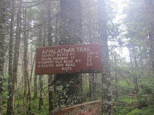
img_0727.jpg Original
1/50s f2.8 ISO400
Wednesday, August 10, 2011 9:40:42AM EDT
Tags: S
Appalachian Trail sign.
Bleis Stream Trail
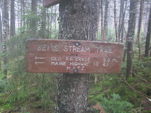
img_0728.jpg Original
1/30s f2.8 ISO400
Wednesday, August 10, 2011 9:40:51AM EDT
Tags: S
Appalachian Trail sign.
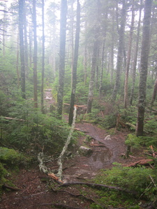
img_0729.jpg Original
1/60s f2.8 ISO320
Full size rotated image
Rotation angle: 90
Wednesday, August 10, 2011 9:40:59AM EDT
Tags: T
Appalachian Trail.
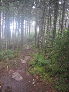
img_0730.jpg Original
1/60s f2.8 ISO320
Full size rotated image
Rotation angle: 90
Wednesday, August 10, 2011 9:41:05AM EDT
Tags: T
Appalachian Trail.
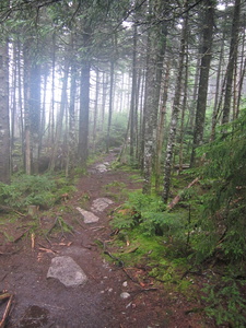
img_0731.jpg Original
1/60s f2.8 ISO400
Full size rotated image
Rotation angle: 90
Wednesday, August 10, 2011 9:41:10AM EDT
Tags: T
Appalachian Trail.
Fog
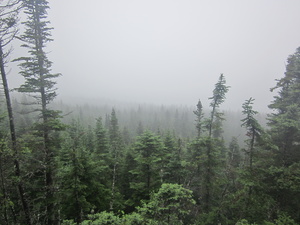
img_0732.jpg Original
1/800s f2.8 ISO80
Wednesday, August 10, 2011 10:47:50AM EDT
Tags: V
View from Appalachian Trail
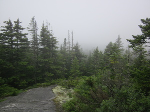
img_0733.jpg Original
1/1250s f2.8 ISO160
Wednesday, August 10, 2011 12:37:18PM EDT
Tags: T
Appalachian Trail.
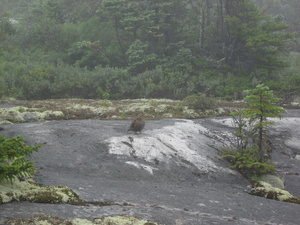
img_0734.jpg Original
1/160s f5.9 ISO125
Wednesday, August 10, 2011 12:41:35PM EDT
Tags: T
Appalachian Trail.
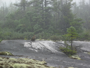
img_0735.jpg Original
1/160s f5.9 ISO100
Wednesday, August 10, 2011 12:41:50PM EDT
Tags: T
Appalachian Trail.
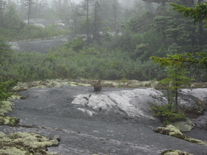
img_0736.jpg Original
1/160s f5.9 ISO100
Wednesday, August 10, 2011 12:42:06PM EDT
Tags: T
Appalachian Trail.
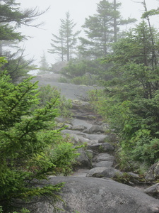
img_0737.jpg Original
1/160s f5.9 ISO160
Full size rotated image
Rotation angle: 90
Wednesday, August 10, 2011 12:42:20PM EDT
Tags: T
Appalachian Trail.
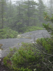
img_0738.jpg Original
1/160s f5.9 ISO160
Full size rotated image
Rotation angle: 90
Wednesday, August 10, 2011 12:42:26PM EDT
Tags: T
Appalachian Trail.
Bemis Mountain 2ed Peak - Elevation 2923 feet
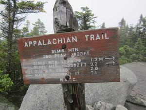
img_0739.jpg Original
1/500s f2.8 ISO160
Wednesday, August 10, 2011 12:58:44PM EDT
Tags: S
Appalachian Trail sign.

img_0740.jpg Original
1/640s f2.8 ISO100
Wednesday, August 10, 2011 12:58:53PM EDT
Tags: T
Appalachian Trail.
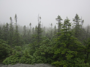
img_0741.jpg Original
1/800s f2.8 ISO160
Wednesday, August 10, 2011 12:58:58PM EDT
Tags: V
View from Appalachian Trail
Maine Highway 17 - 1.1 miles
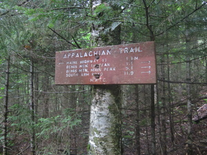
img_0742.jpg Original
1/20s f2.8 ISO640
Wednesday, August 10, 2011 2:28:54PM EDT
Tags: S
Appalachian Trail sign.
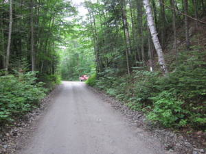
img_0743.jpg Original
1/60s f2.8 ISO320
Wednesday, August 10, 2011 2:29:13PM EDT
Tags: O
Dirt, gravel, or logging road crossing the Appalachian Trail.
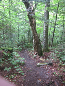
img_0744.jpg Original
1/20s f2.8 ISO400
Full size rotated image
Rotation angle: 90
Wednesday, August 10, 2011 2:29:37PM EDT
Tags: T
Appalachian Trail.


