Appalachian Trail, Pennsylvania, Map 4
Unless otherwise indicated all pictures are licensed under the Creative
Commons Attribution 3.0 Unported License.

This work is licensed
under a Creative
Commons Attribution 3.0 Unported License.
All usage needs to include the following attribution: "Picture taken by Louis Taber".
All pictures with people are ©2003 by Louis Taber with all rights reserved.
Home Appalachian Trail - 2003 index
Near the Pennsylvania Maryland border. Monday, June 30, 2003
Falls Creek (39.723154, -77.501634)
imag0482.jpg Original
1/111s f4 ISO100
Full size rotated image
Rotation angle: 90
Monday, June 30, 2003 10:48:57AM EDT
Tags: BC
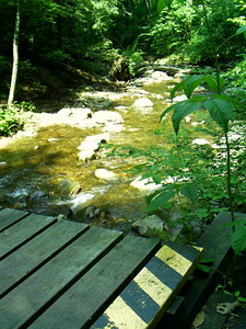
Bridge on the Appalachian Trail.
Creek on Appalachian Trail.
Deb, Falls Creek (39.723154, -77.501634)
imag0483.jpg Original
1/39s f4 ISO100
Monday, June 30, 2003 10:49:10AM EDT
Tags: BK
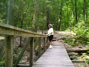
Bridge on the Appalachian Trail.
Appalachian Trail hiker.
©2014 Louis Taber, All rights reserved.
Deb, Falls Creek (39.723154, -77.501634)
imag0484.jpg Original
1/56s f4 ISO200
Monday, June 30, 2003 10:49:39AM EDT
Tags: BKC
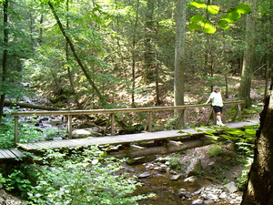
Bridge on the Appalachian Trail.
Creek on Appalachian Trail.
Appalachian Trail hiker.
©2014 Louis Taber, All rights reserved.
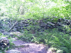
Stone wall
imag0485.jpg Original
1/23s f2.8 ISO100
Monday, June 30, 2003 11:09:32AM EDT
Tags:
Park in Maryland (39.718486, -77.507665)
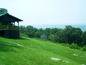
imag0486.jpg Original
1/206s f8 ISO100
Monday, June 30, 2003 11:41:21AM EDT
Tags:


