Image: at2012-v.jpg not found.
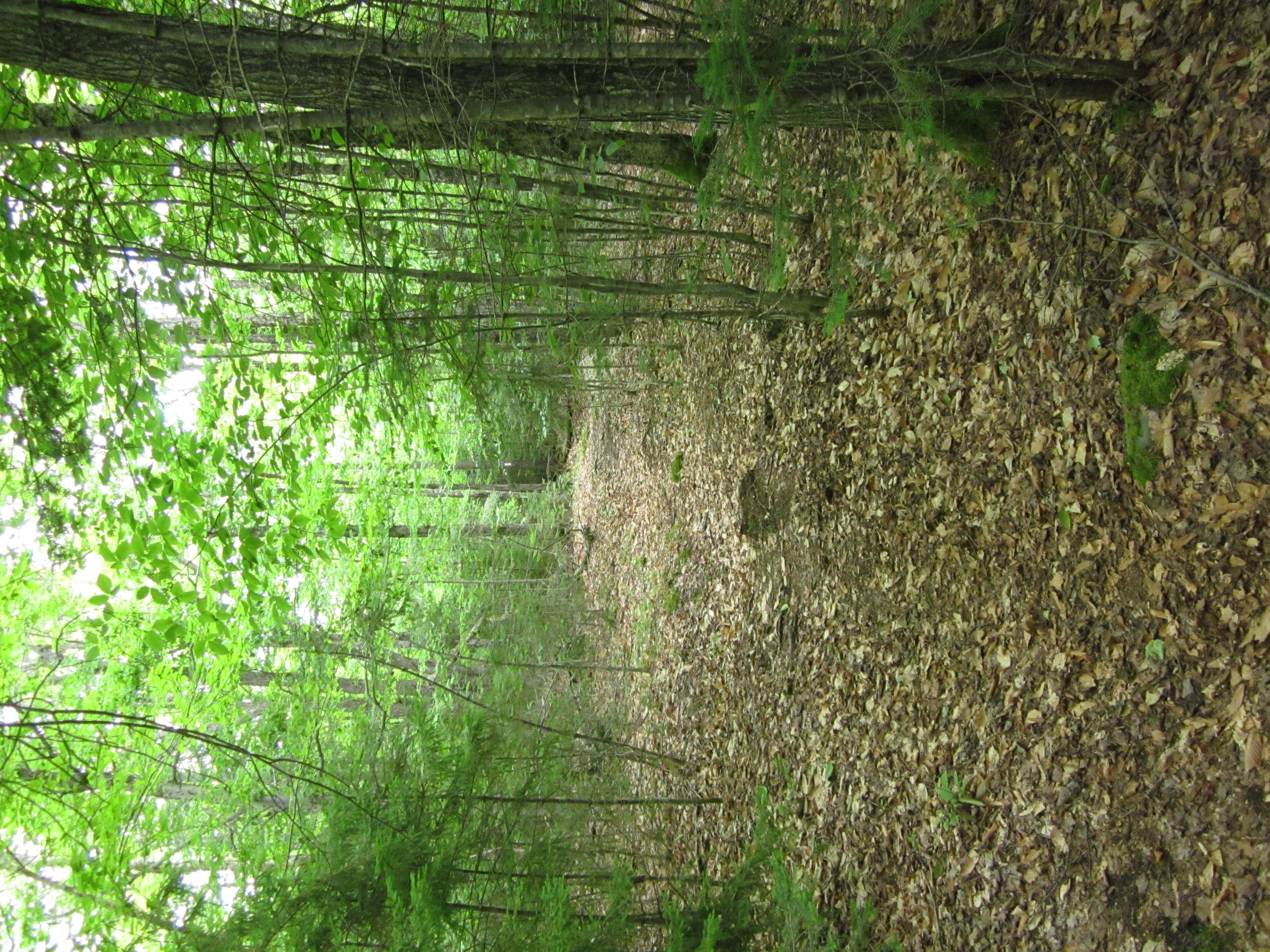
Appalachian Trail, Maine, Map 4 Southbound - US201, ME15/ME6 Monson to Moxie Bald Lean-to

Appalachian Trail, Maine, Map 4 Southbound - US201, ME15/ME6 Monson to Moxie Bald Lean-to
Unless otherwise indicated all pictures are licensed under the Creative
Commons Attribution 3.0 Unported License.

This work is licensed
under a Creative
Commons Attribution 3.0 Unported License.
All usage needs to include the following attribution: "Picture taken by Louis Taber".
All pictures with people are ©2012 by Louis Taber with all rights reserved.
Home Appalachian Trail - 2012 index
This section of the trail was walked North to South. The pictures are presented in South to North order.
Custom rotate: Rotate: -4 Angle: -4
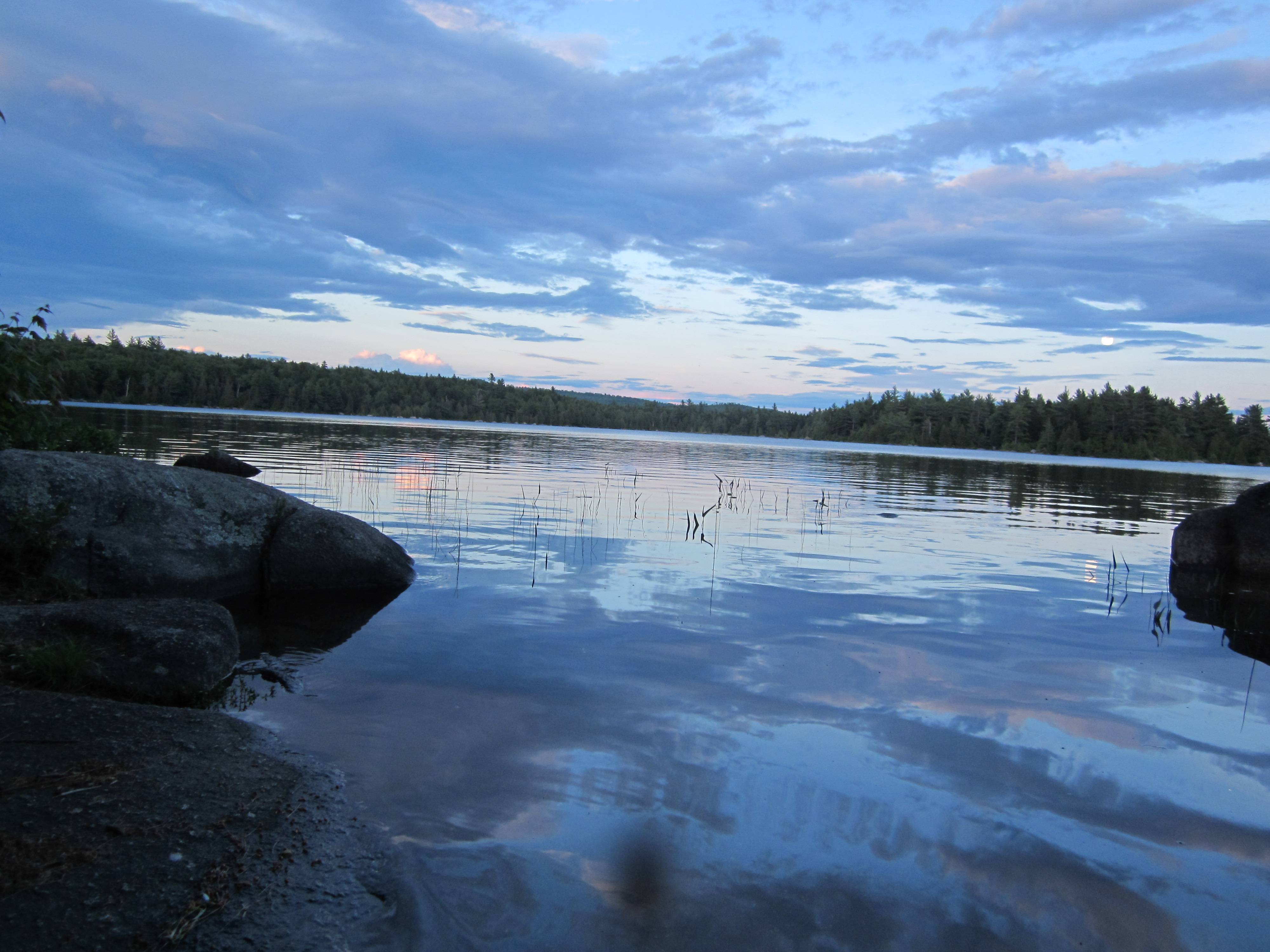
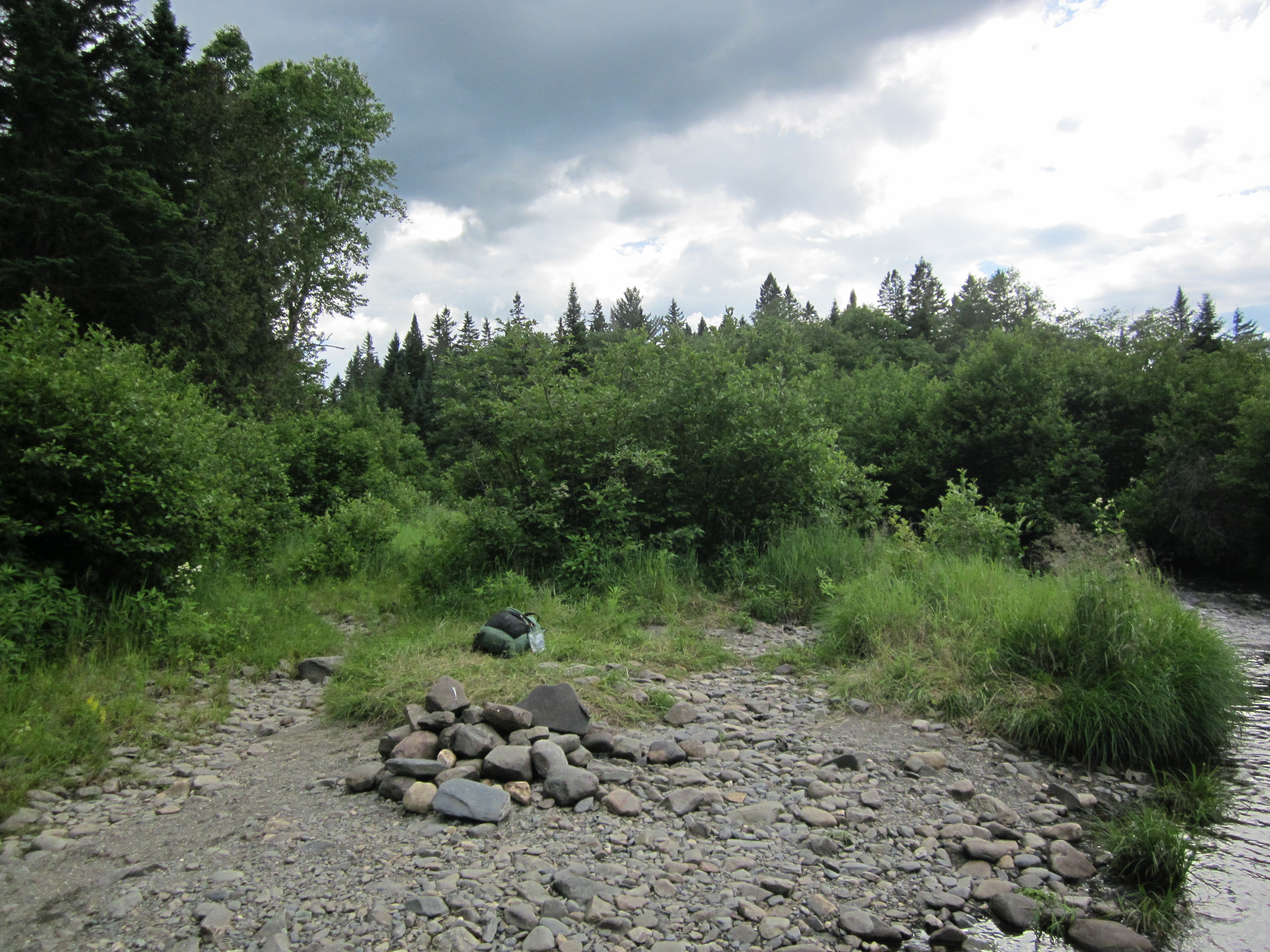
Sunset at Moxie Bald Lean-to campsite

IMG_2117.JPG Original
1/80s f2.8 ISO80
Full size rotated image
Rotation angle: -4
Monday, July 2, 2012 8:14:22PM EDT
Tags: LV
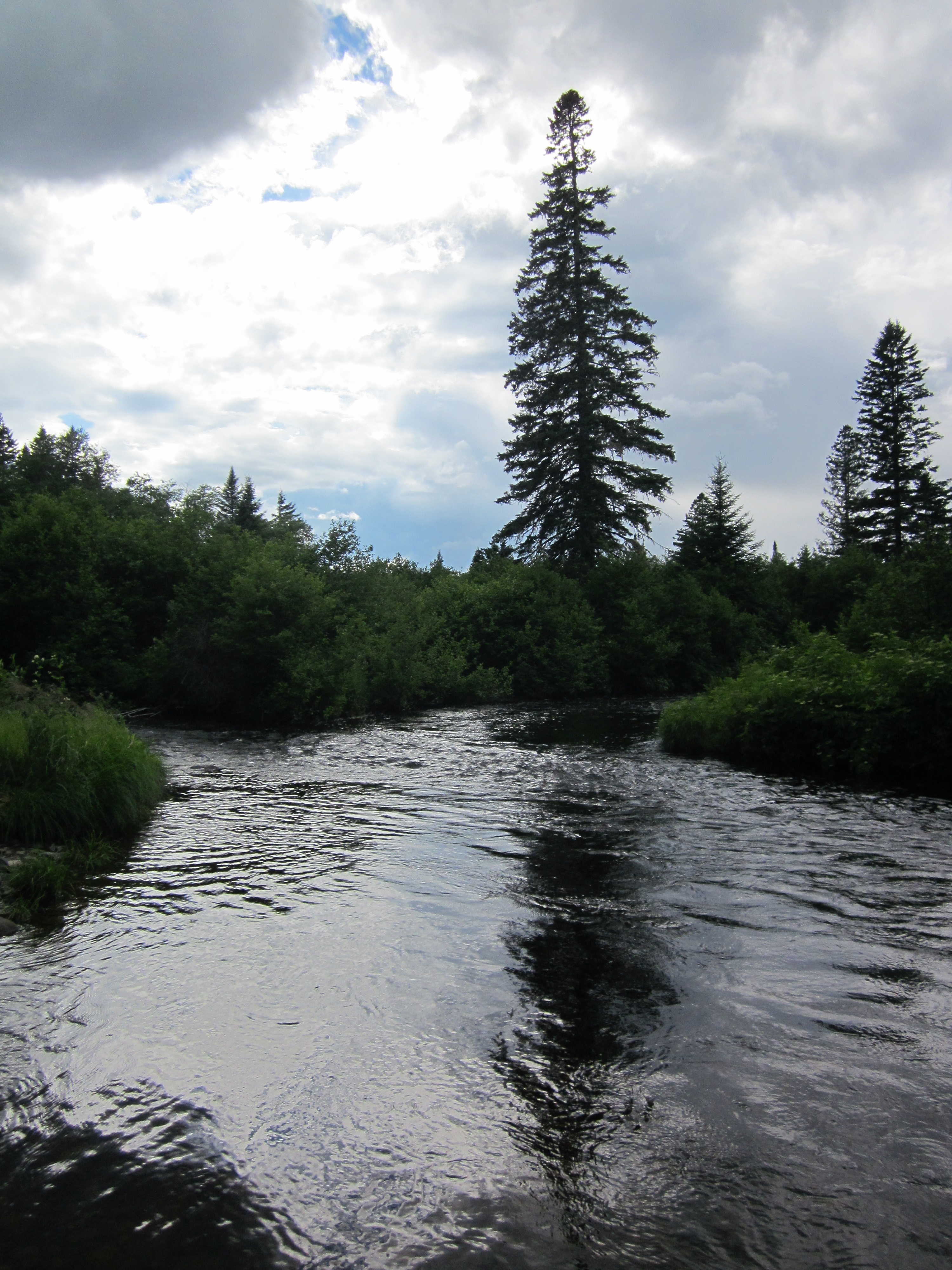
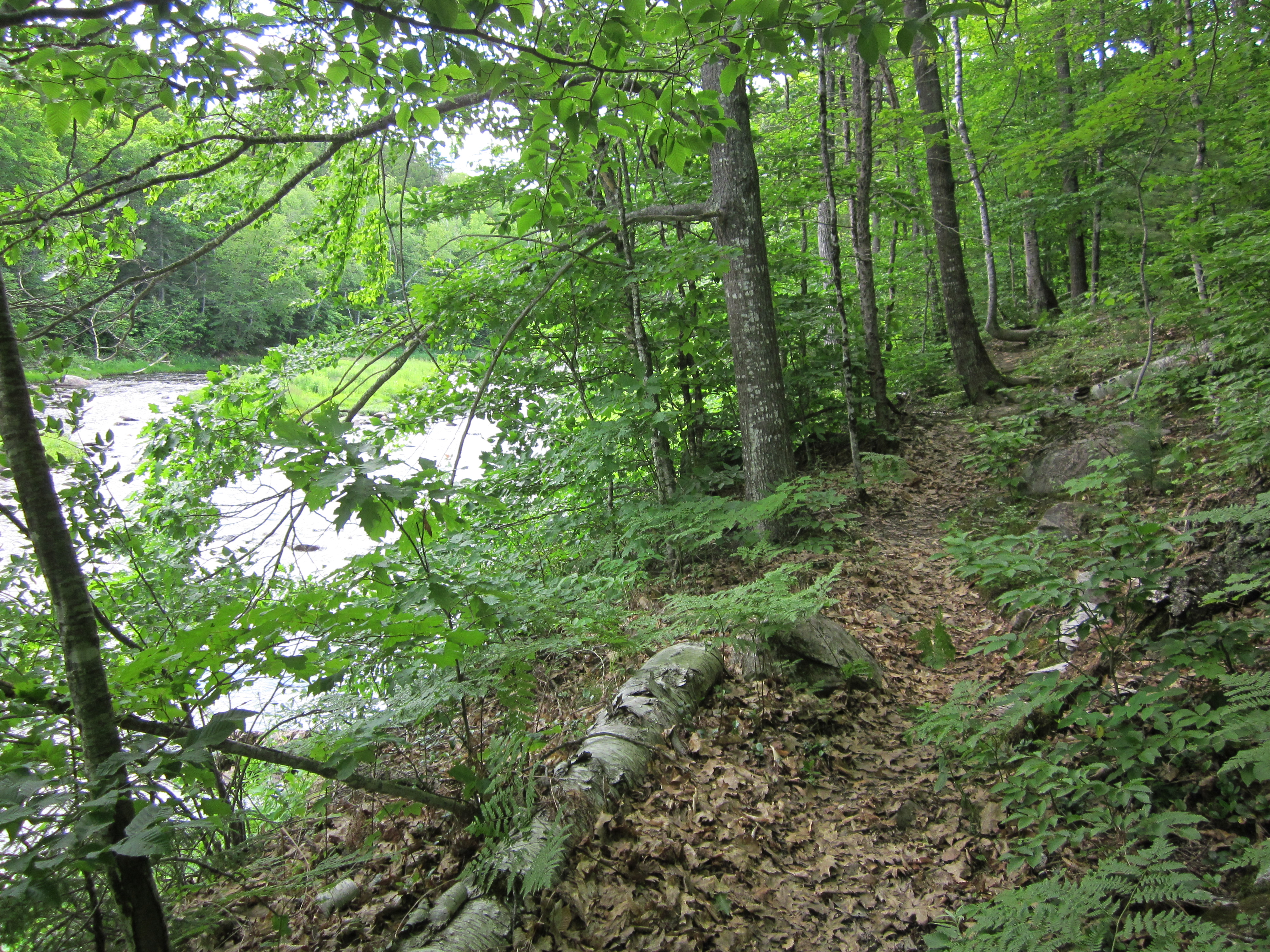
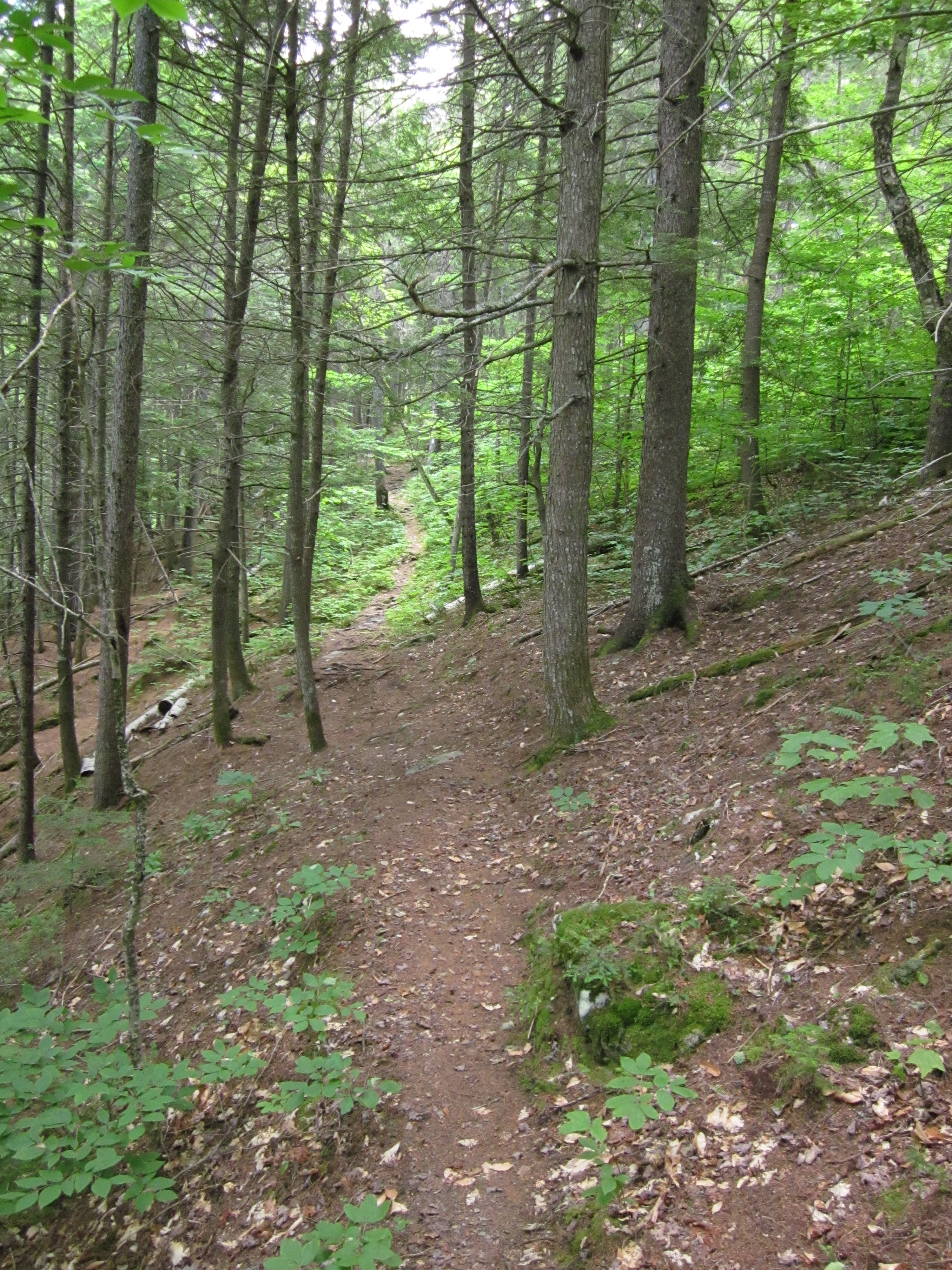
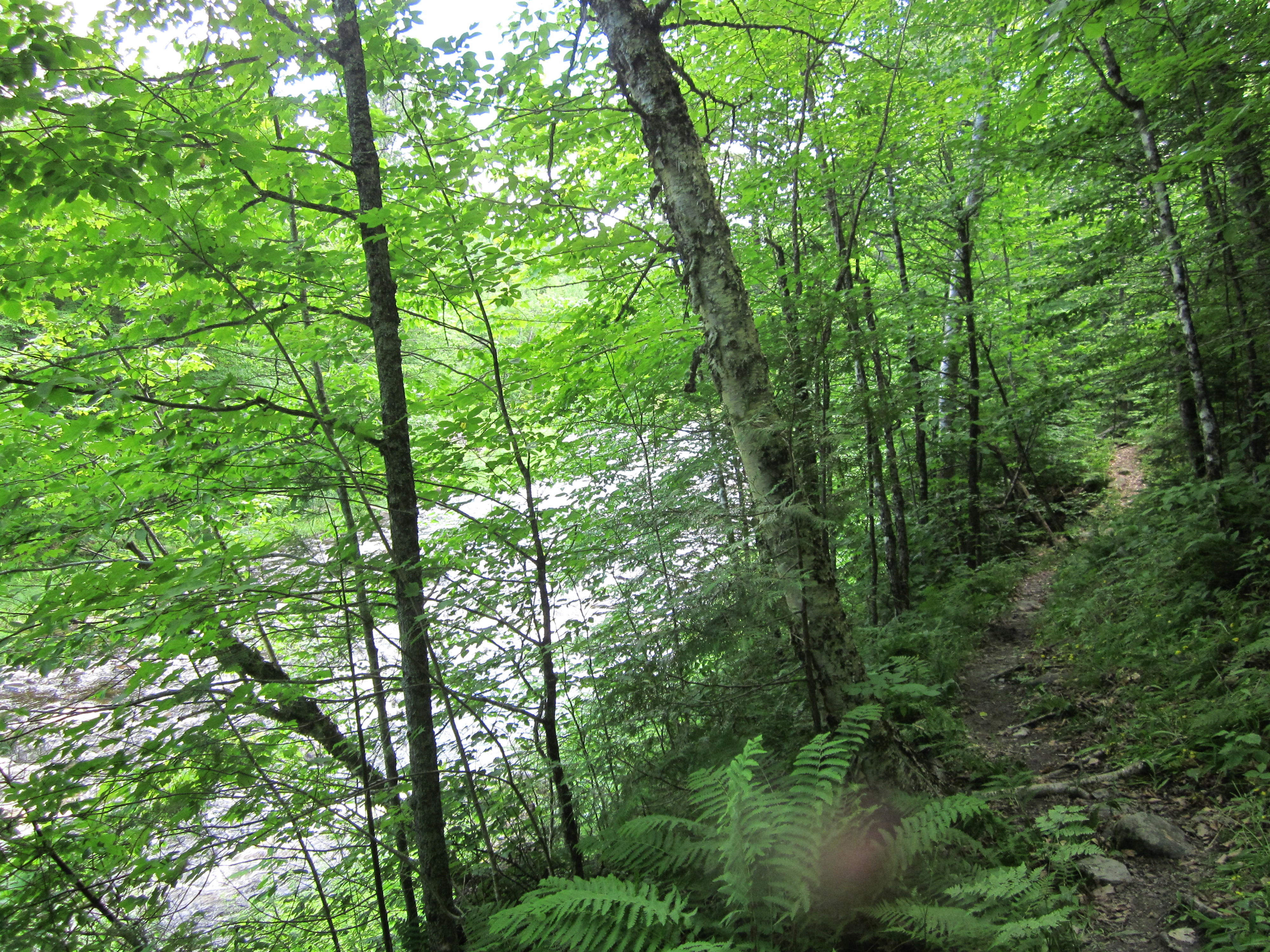
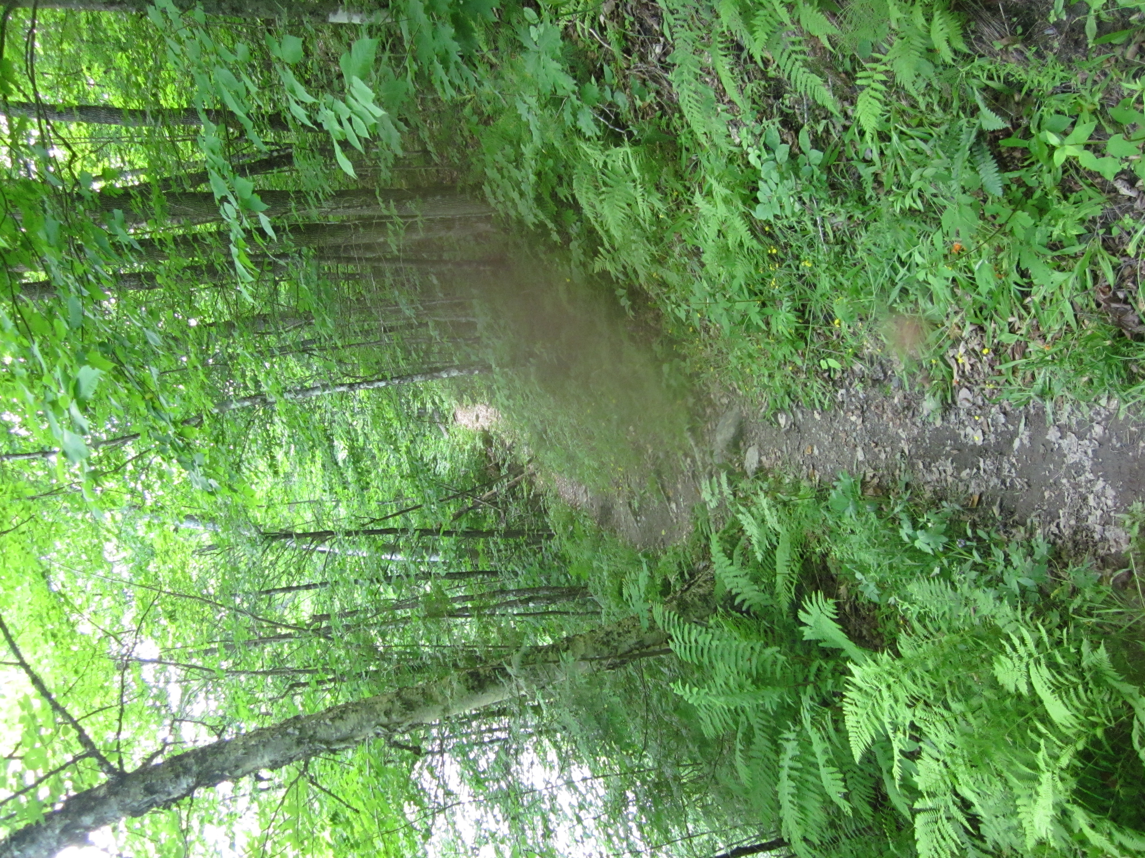
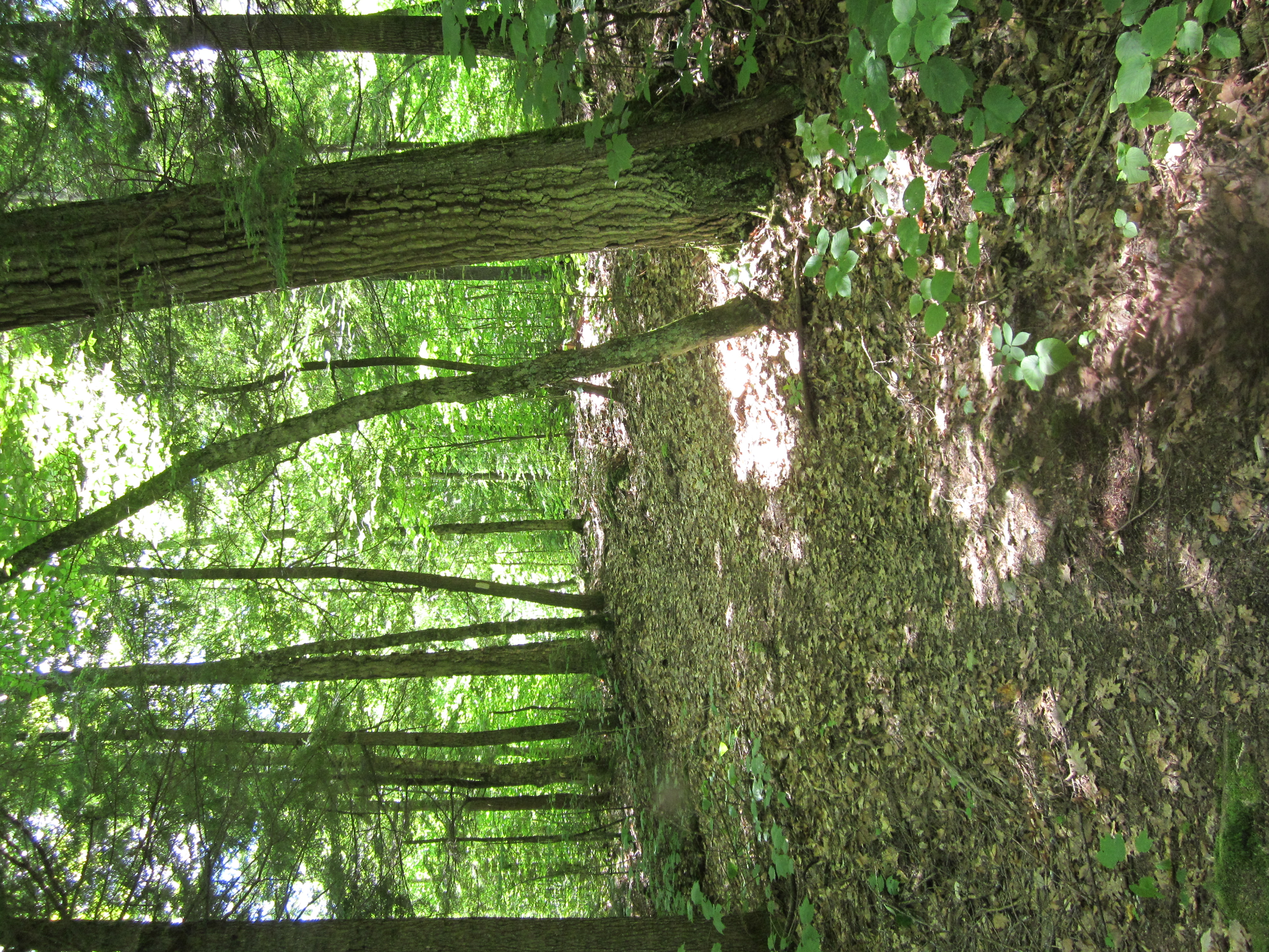
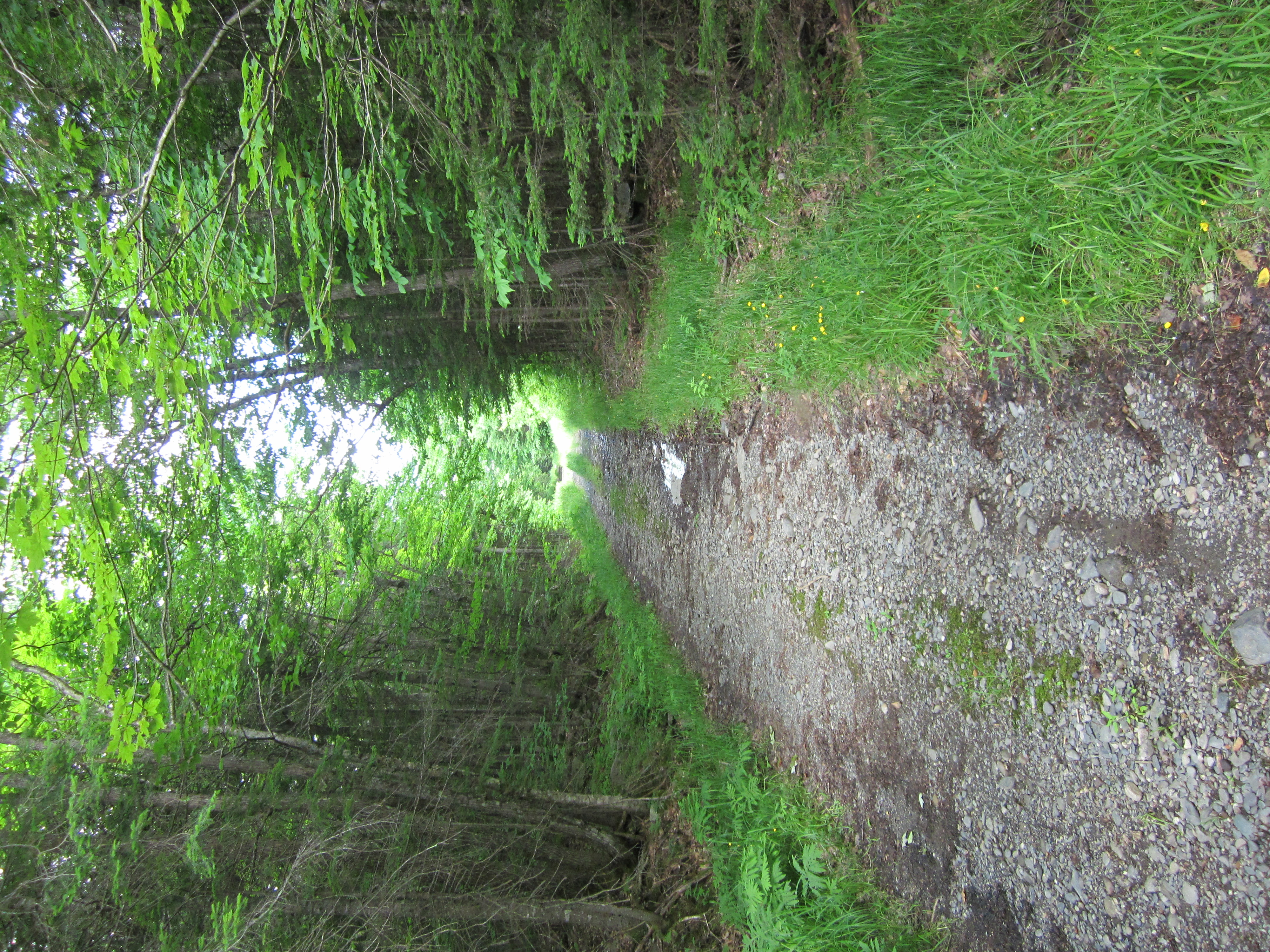
Lake seen from Appalachian Trail.
View from Appalachian Trail
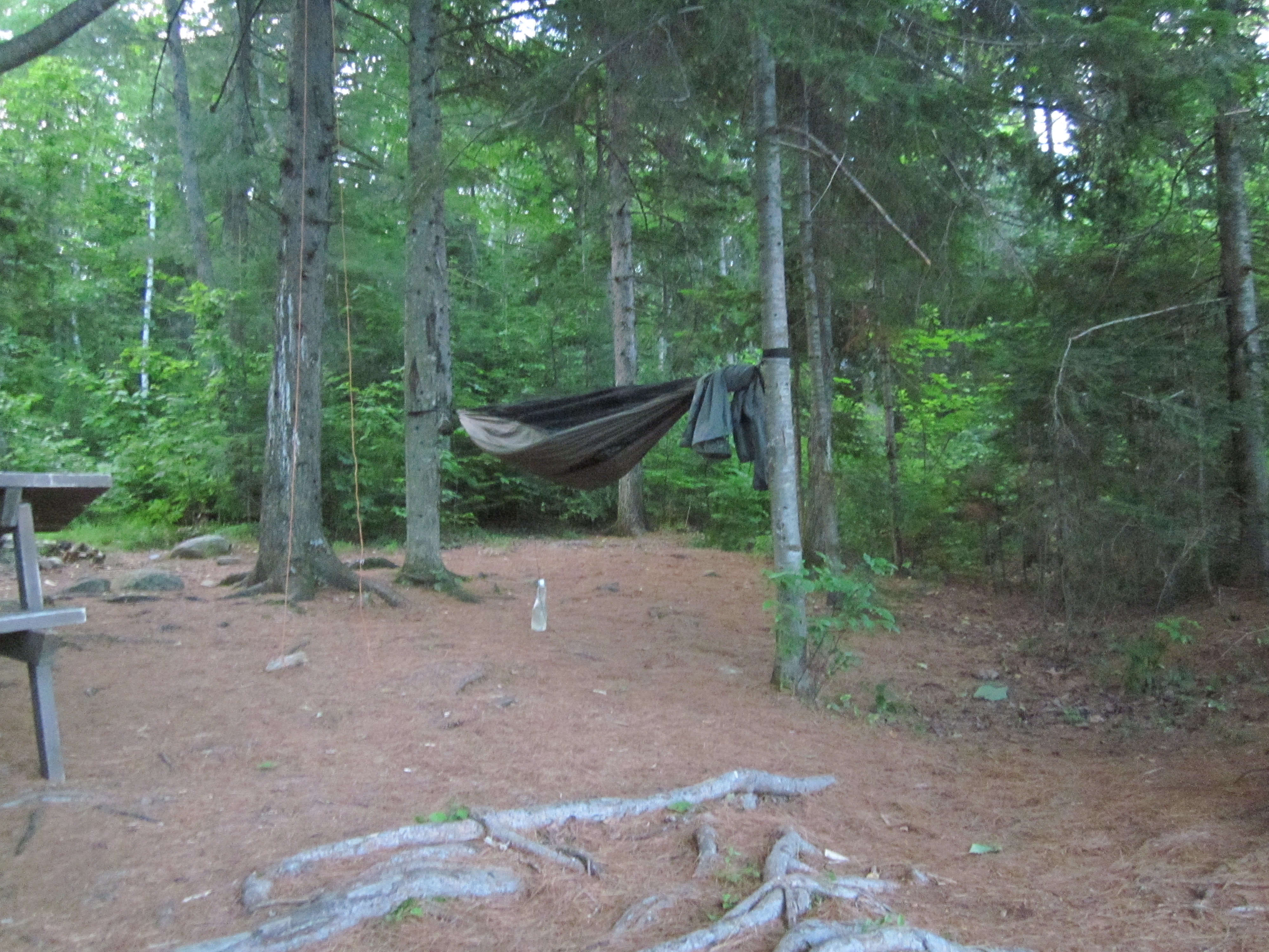
My hamock at Moxie Bald Lean-to

IMG_2116.JPG Original
1/15s f2.8 ISO800
Monday, July 2, 2012 8:13:52PM EDT
Tags:
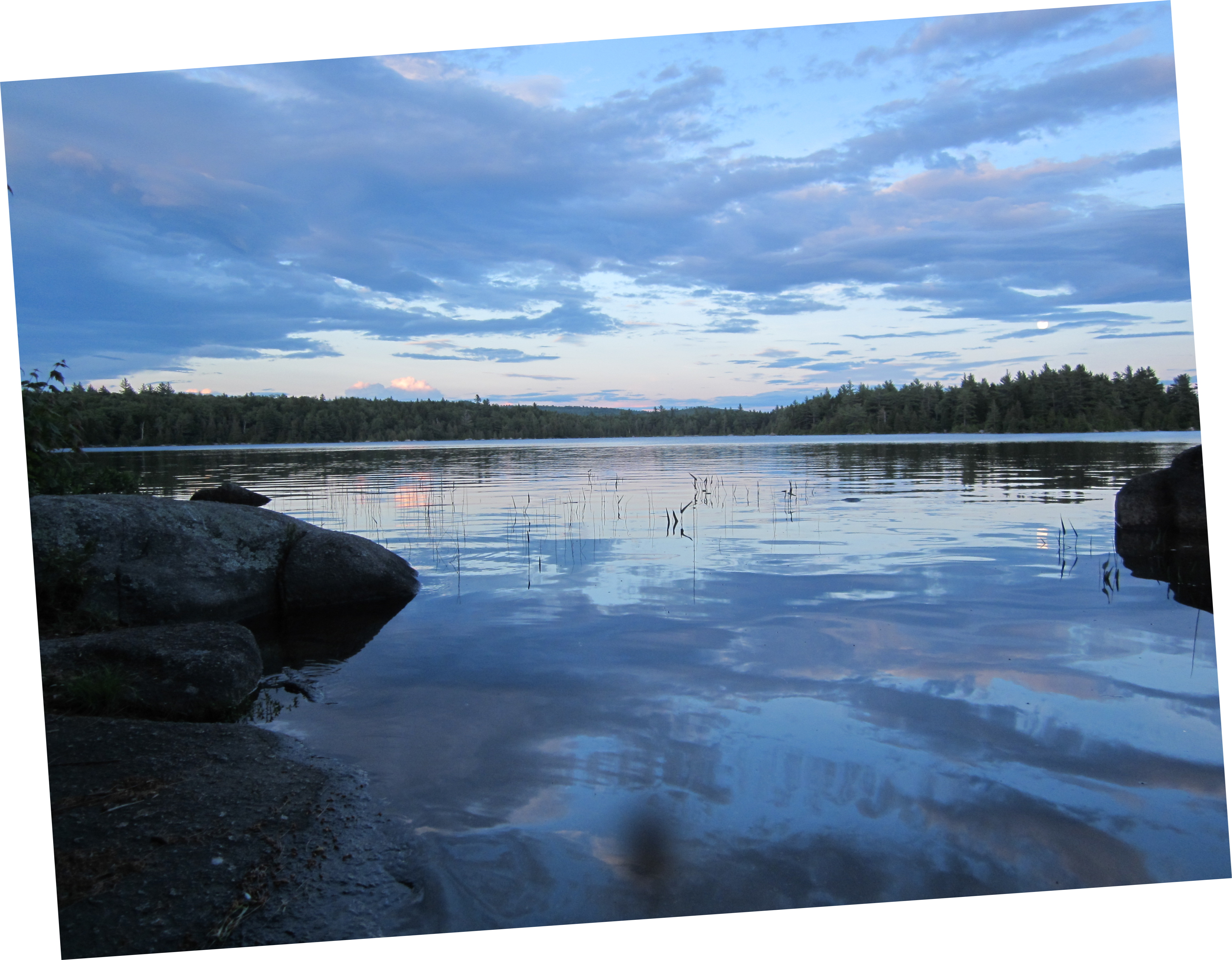
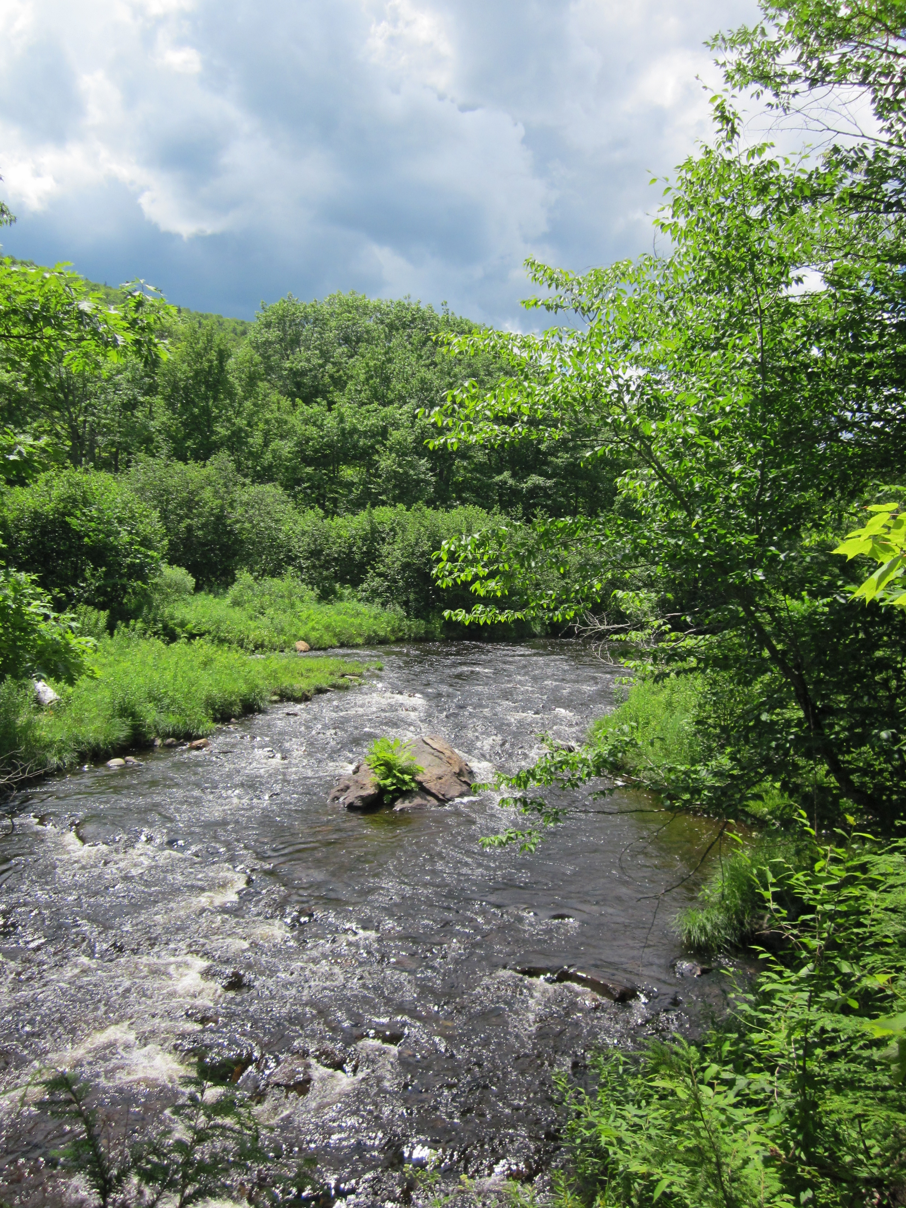
At Moxie Bald Lean-to

IMG_2115.JPG Original
1/80s f2.8 ISO80
Monday, July 2, 2012 8:13:36PM EDT
Tags: LV
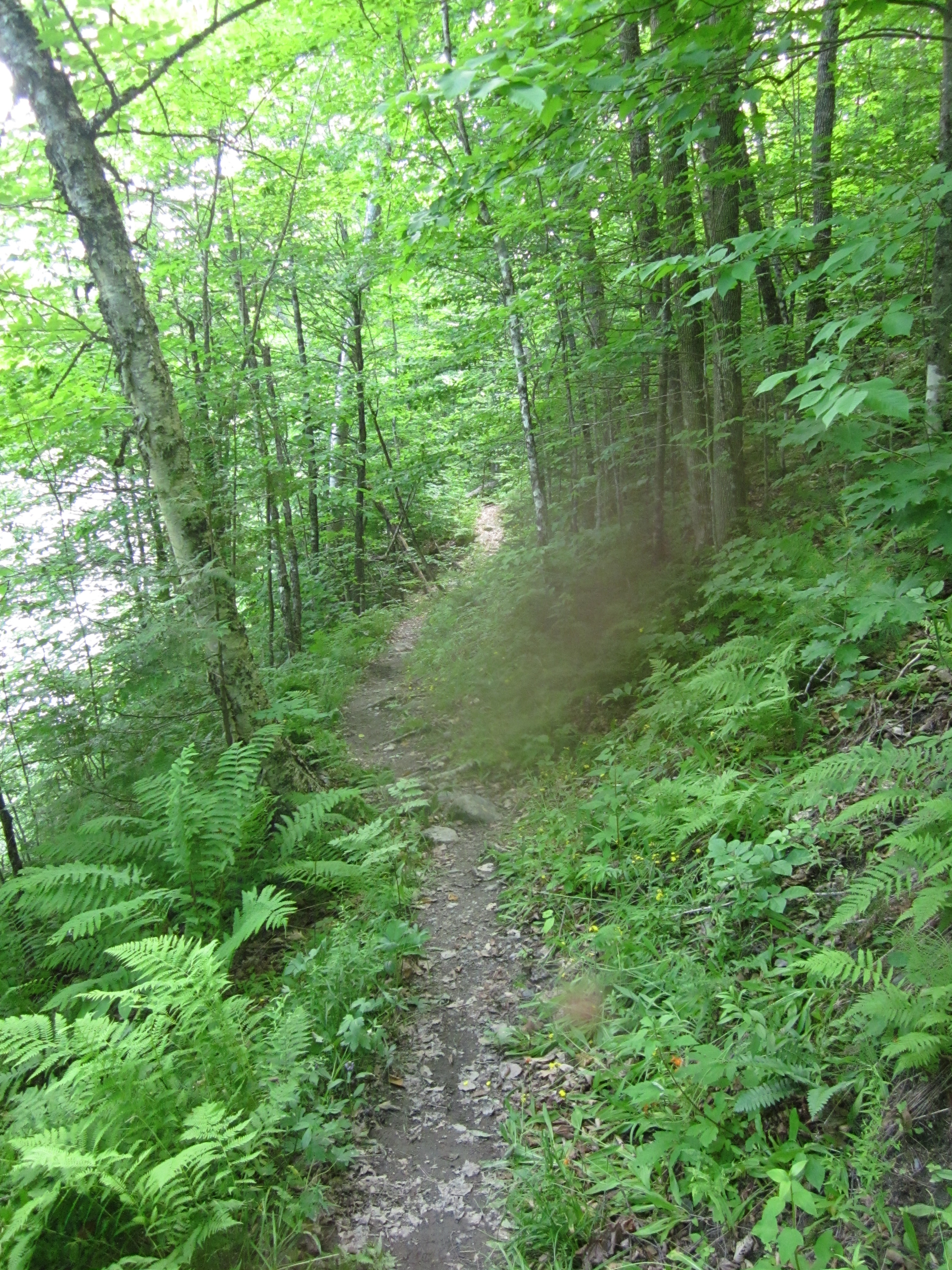
Lake seen from Appalachian Trail.
View from Appalachian Trail
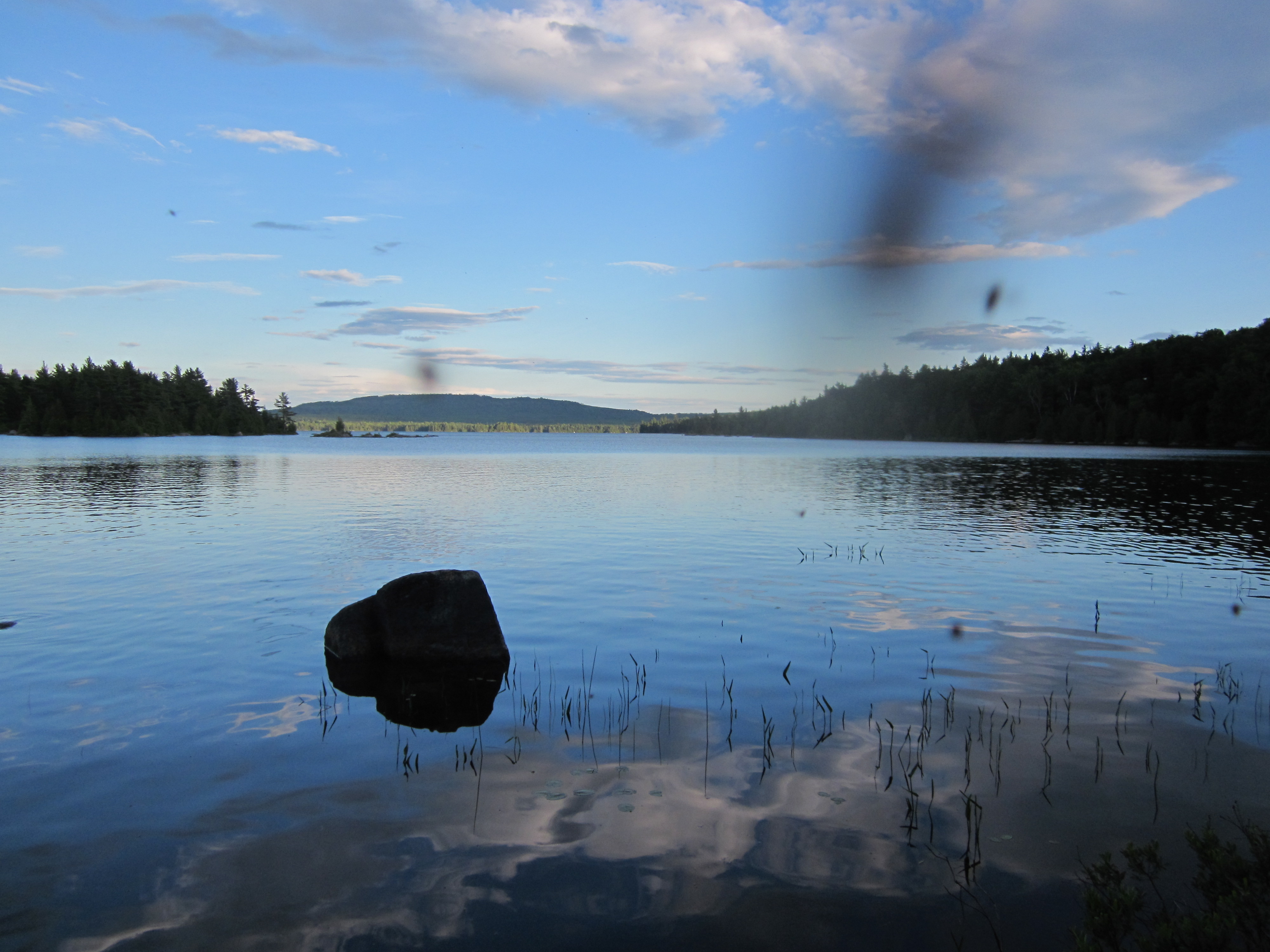
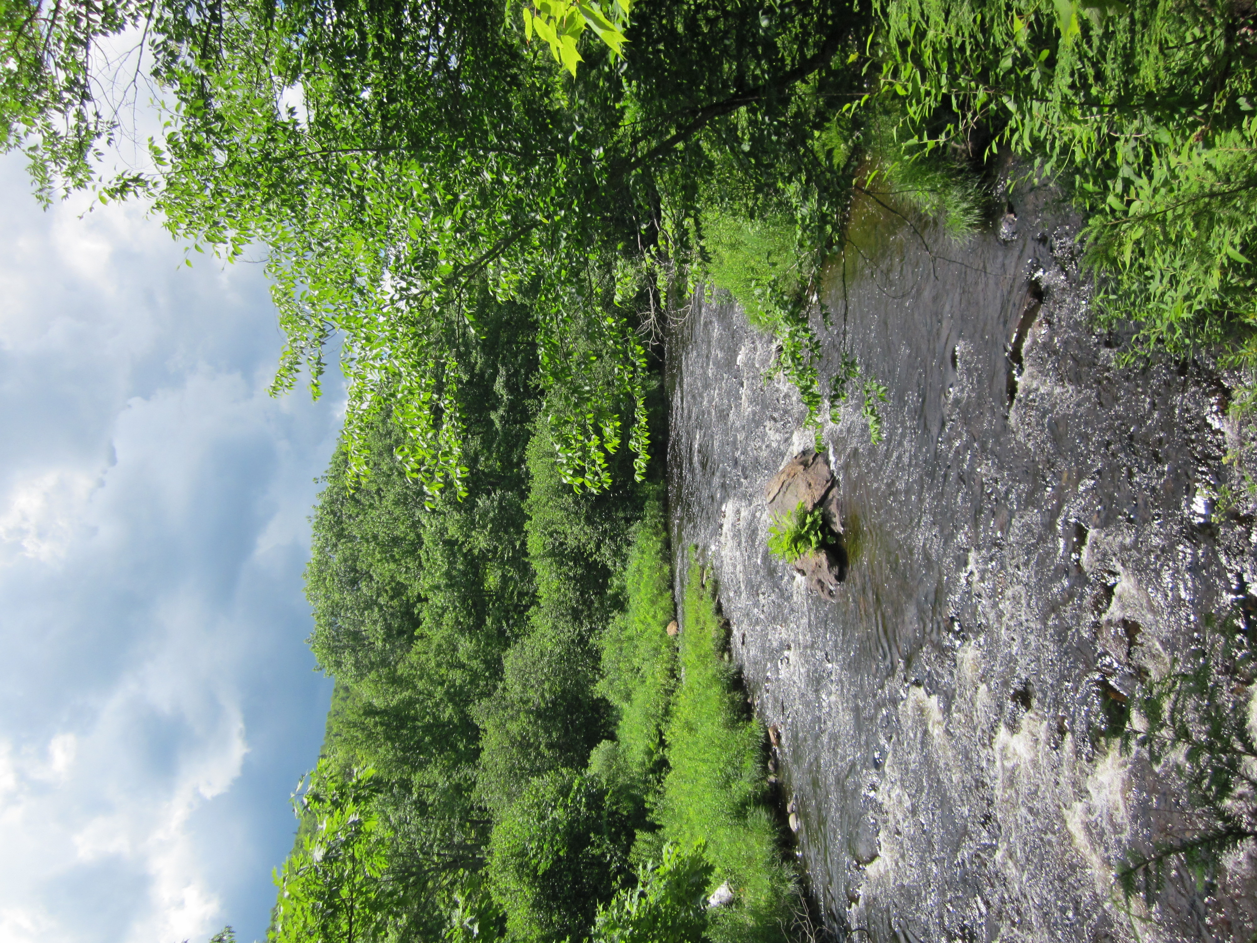
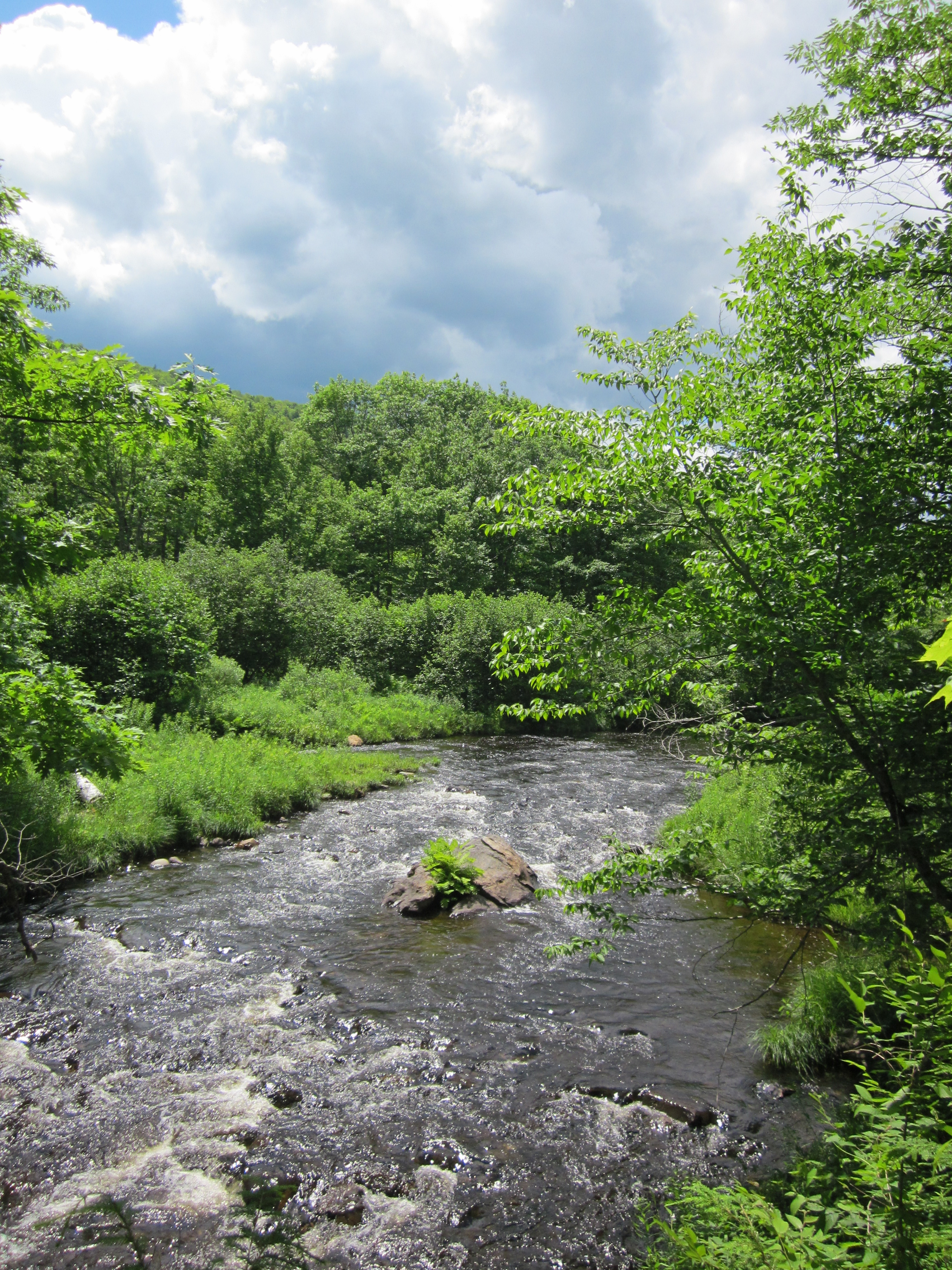
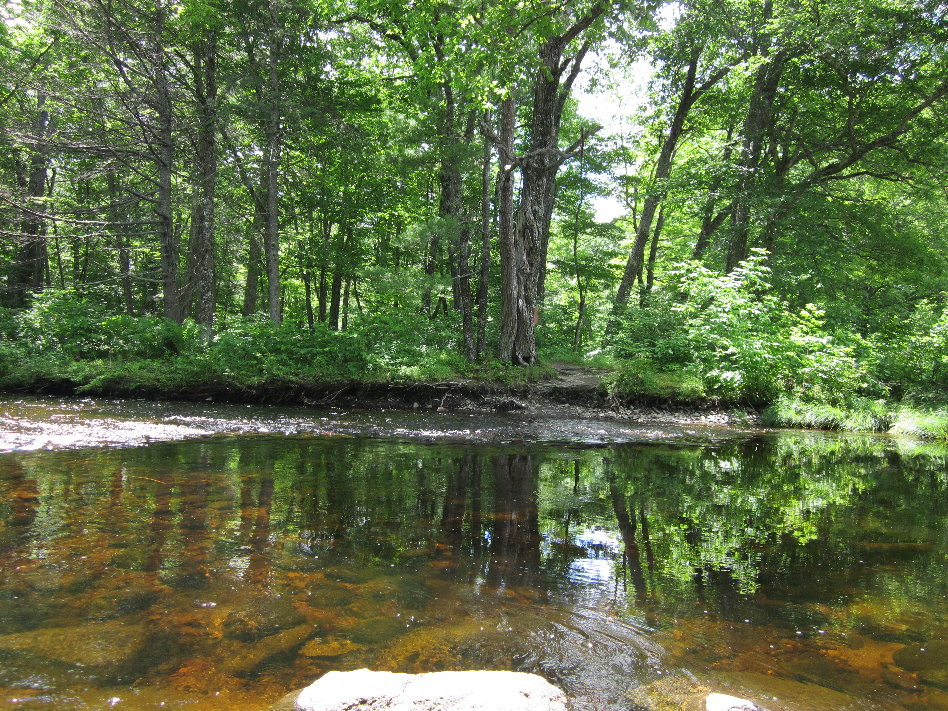
At Moxie Bald Lean-to

IMG_2114.JPG Original
1/320s f2.8 ISO160
Monday, July 2, 2012 7:37:00PM EDT
Tags: LV
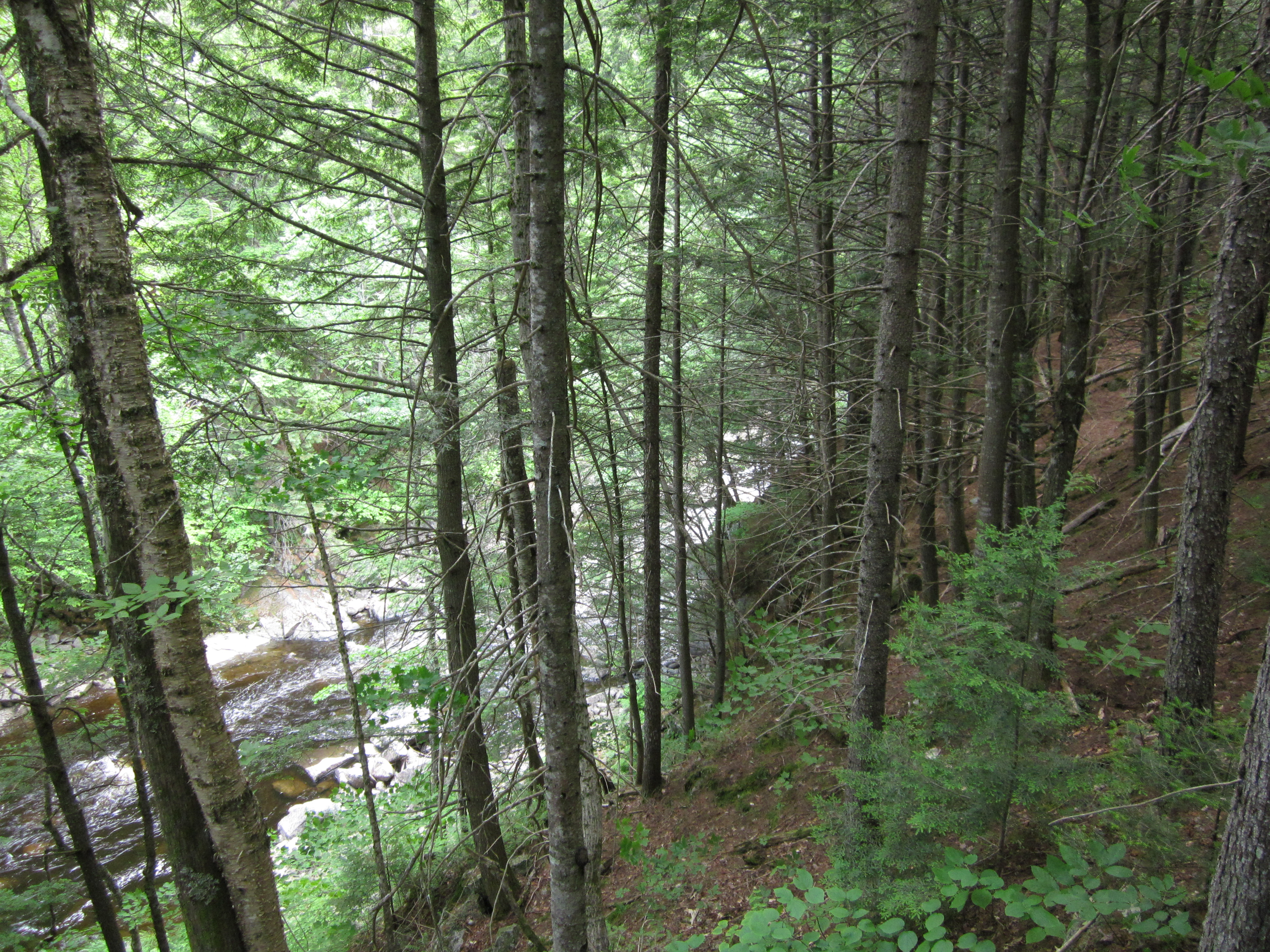
Lake seen from Appalachian Trail.
View from Appalachian Trail
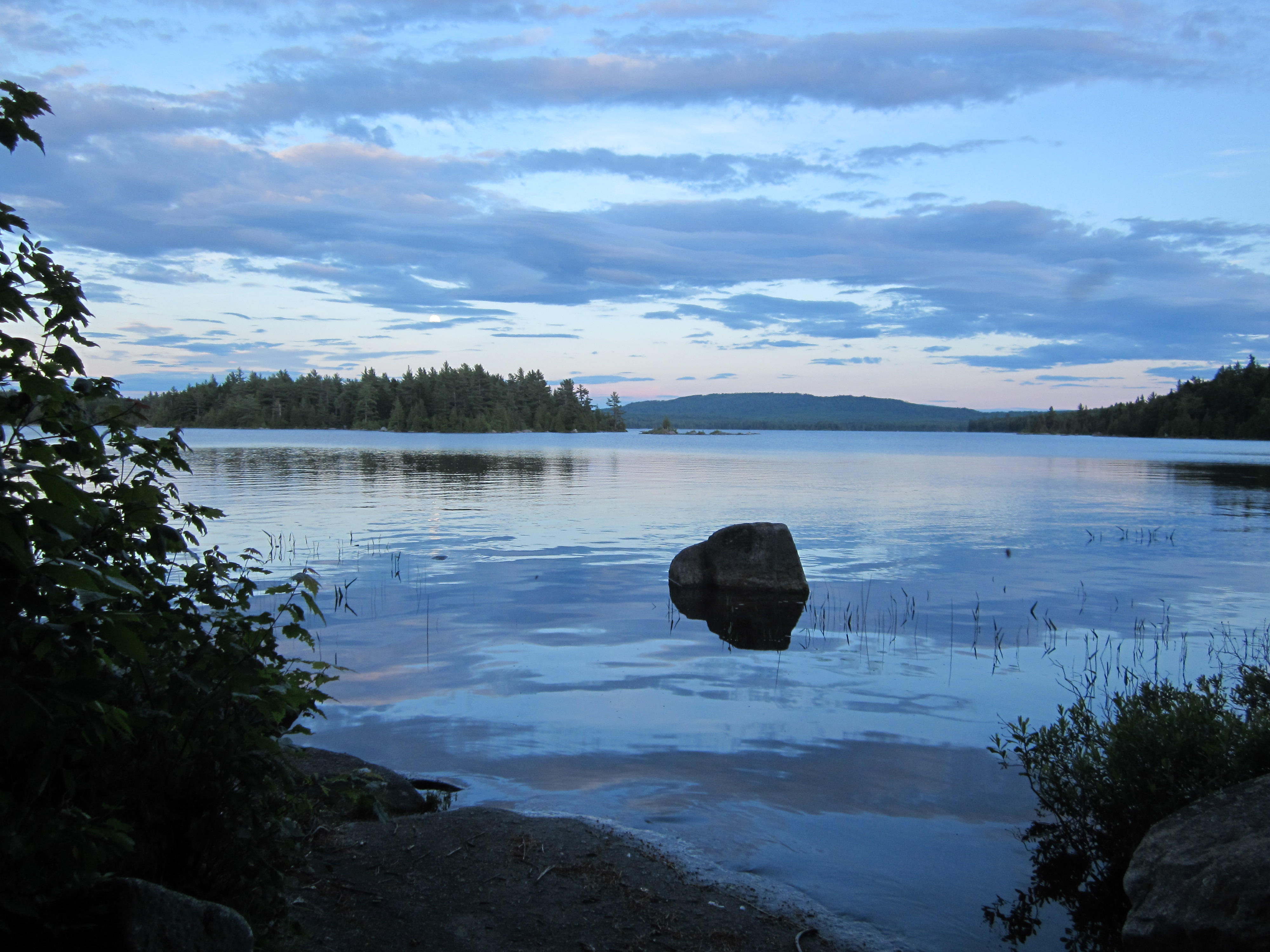
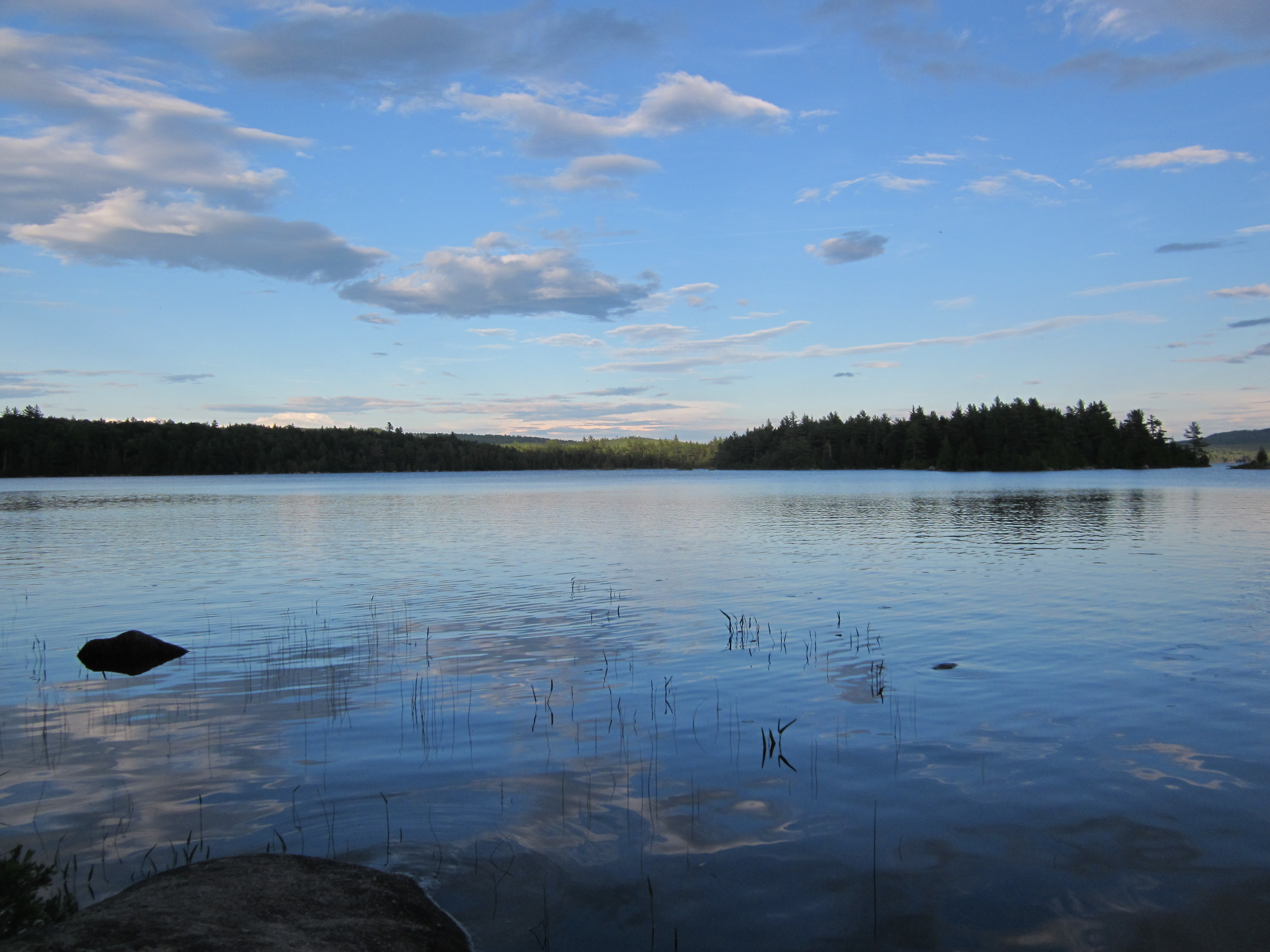
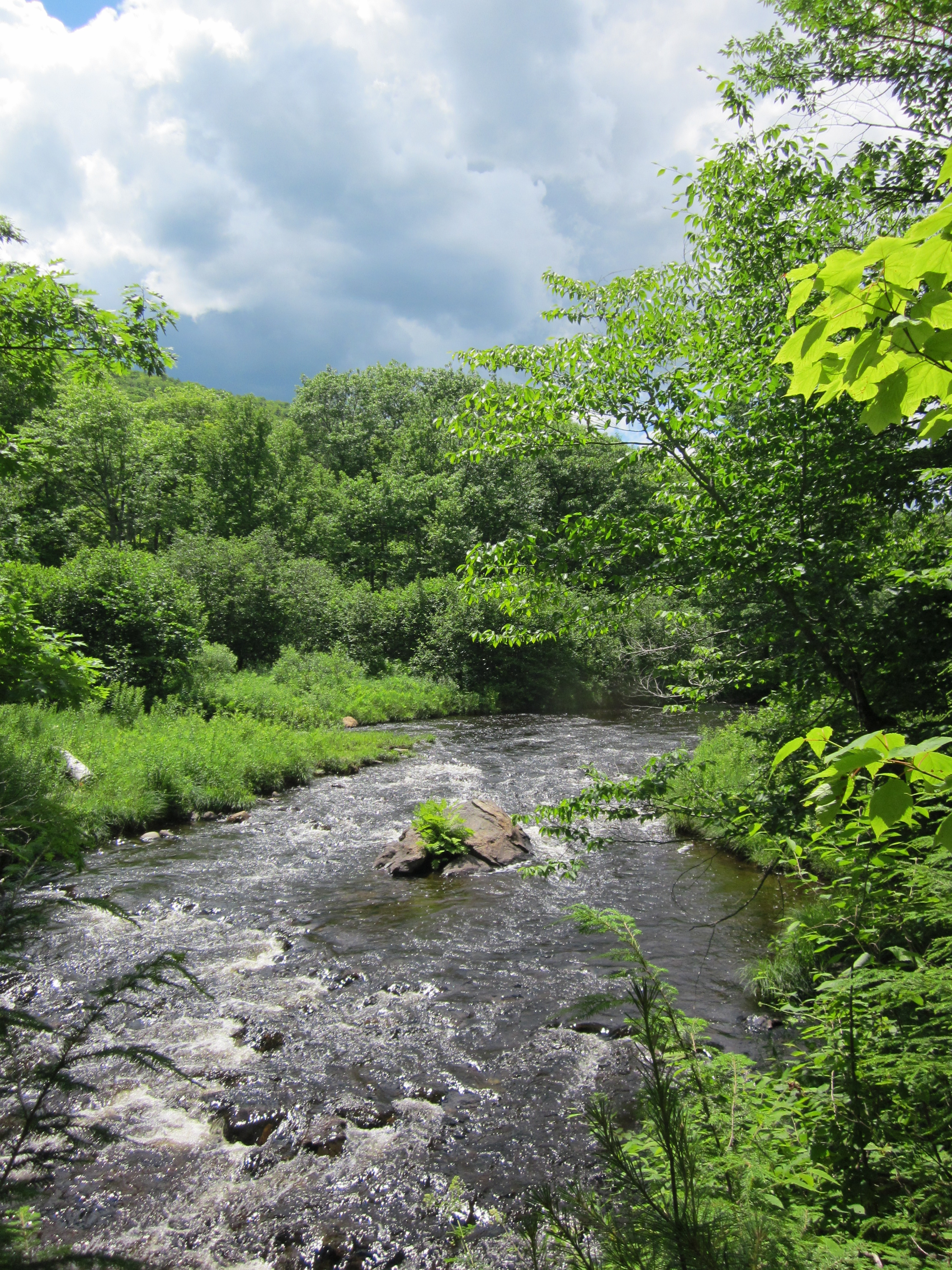
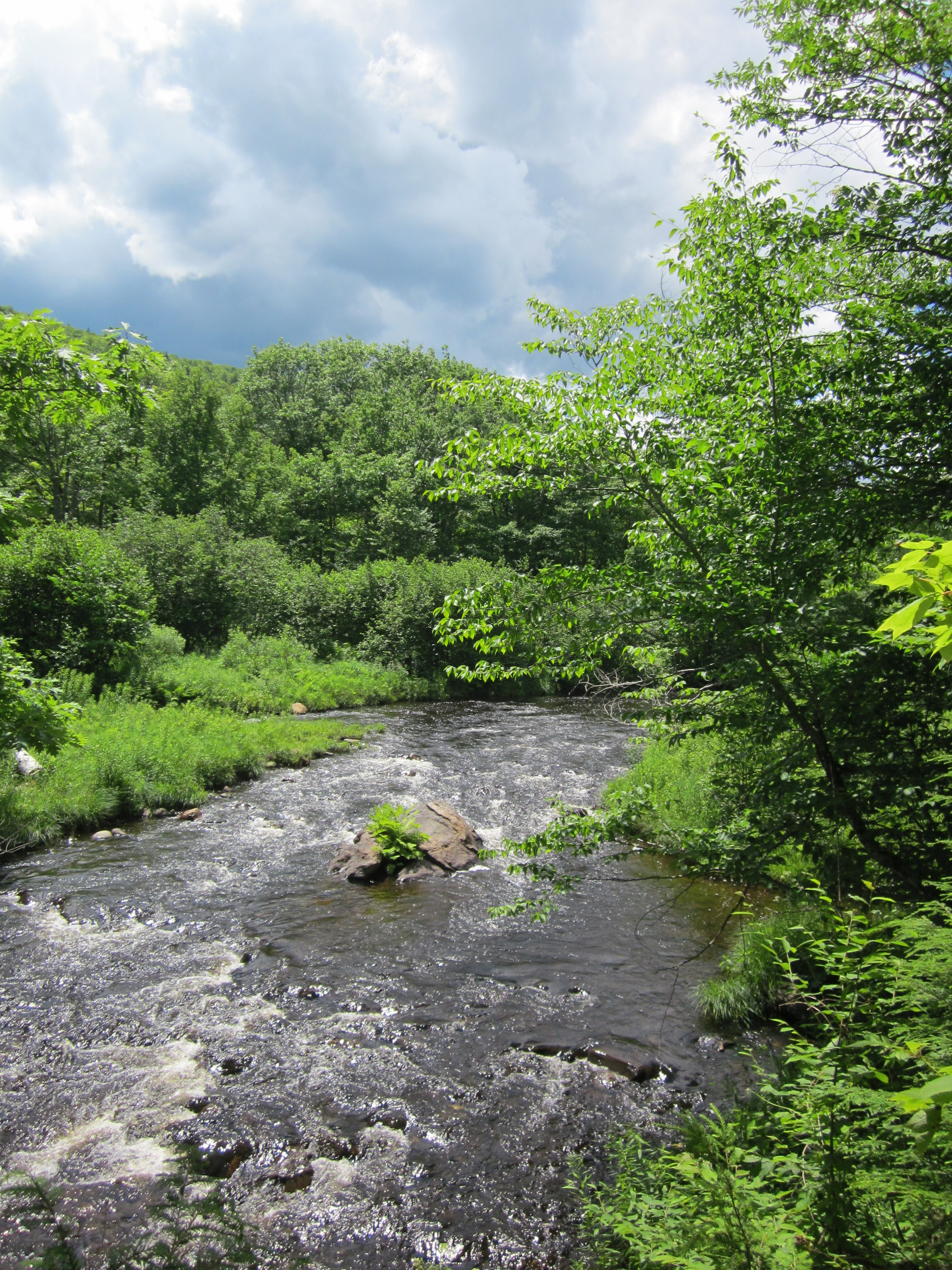
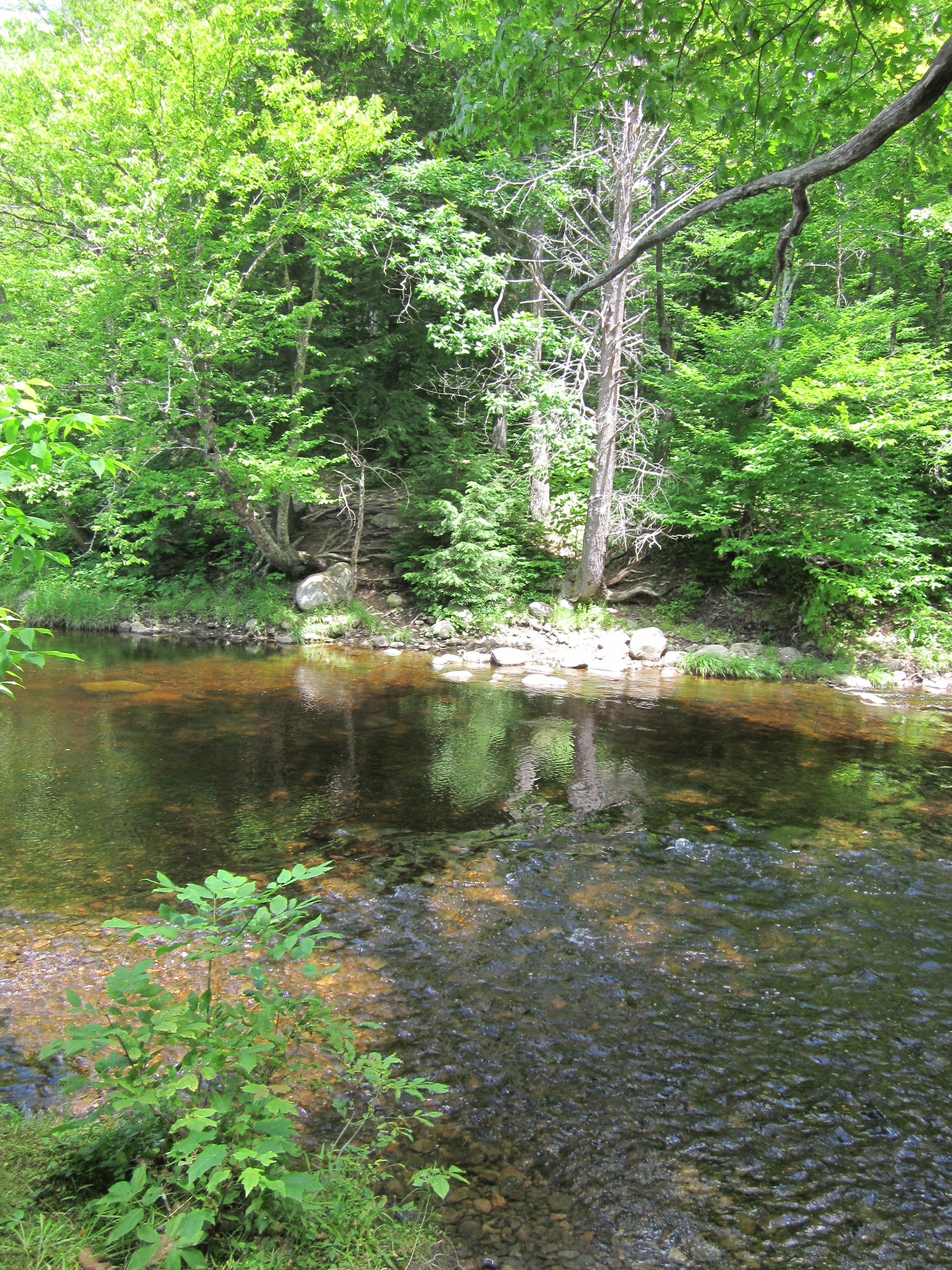
At Moxie Bald Lean-to

IMG_2113.JPG Original
1/640s f2.8 ISO80
Monday, July 2, 2012 7:36:48PM EDT
Tags: LV
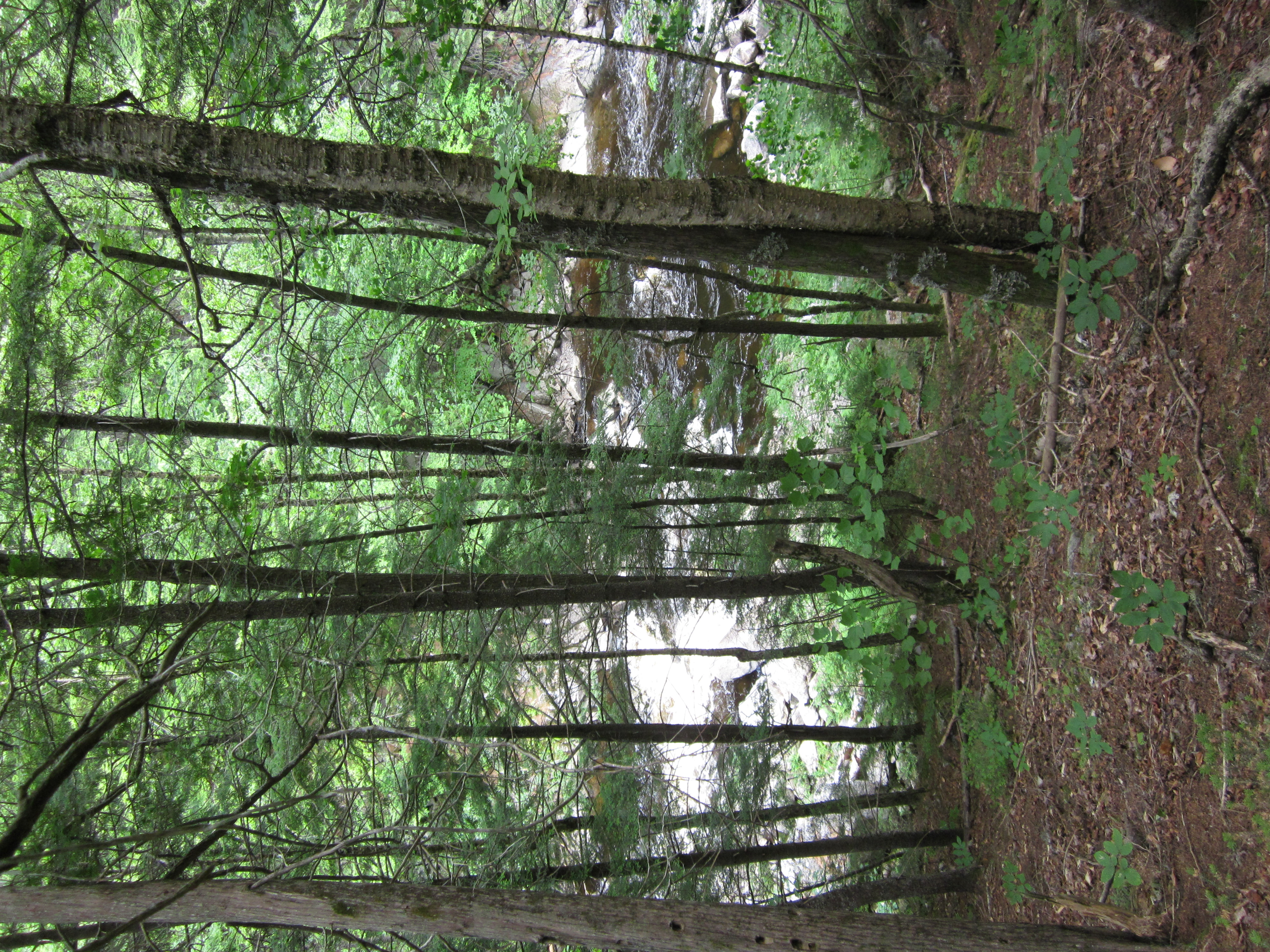
Lake seen from Appalachian Trail.
View from Appalachian Trail
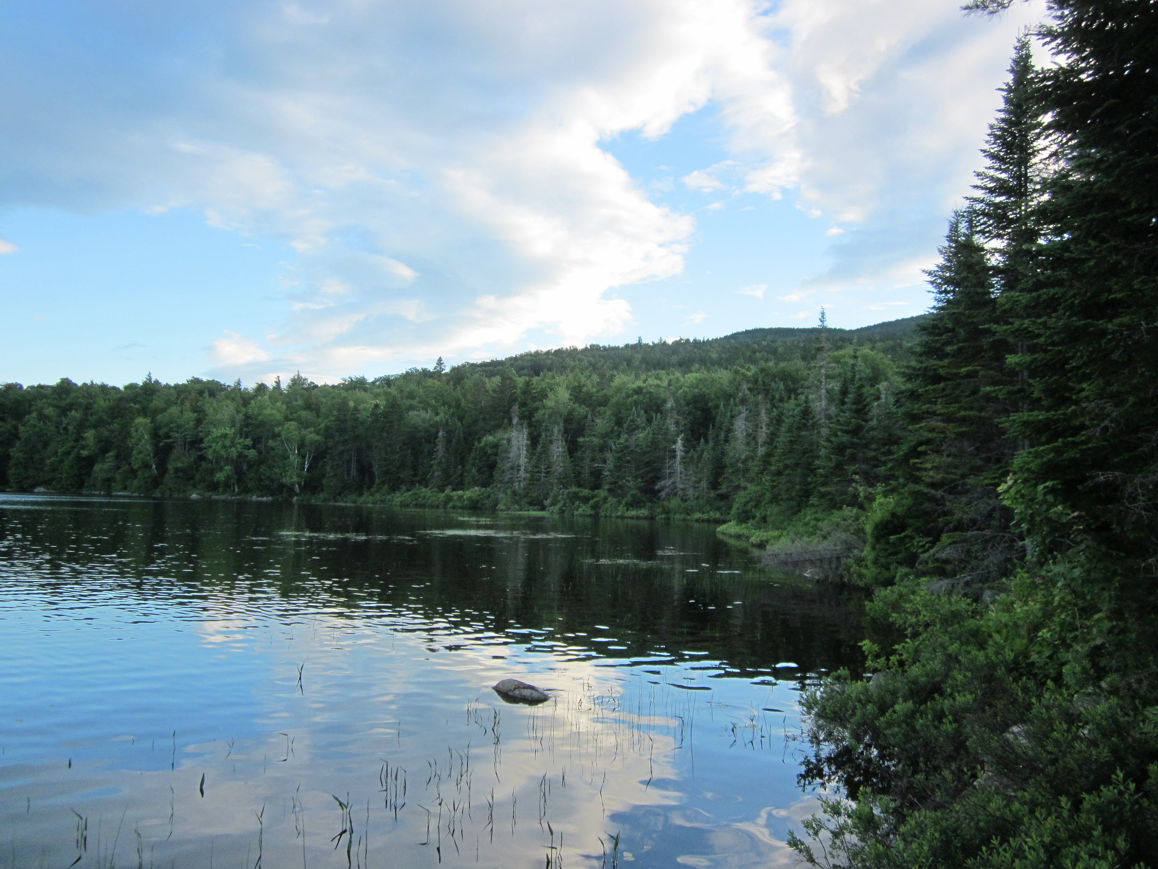
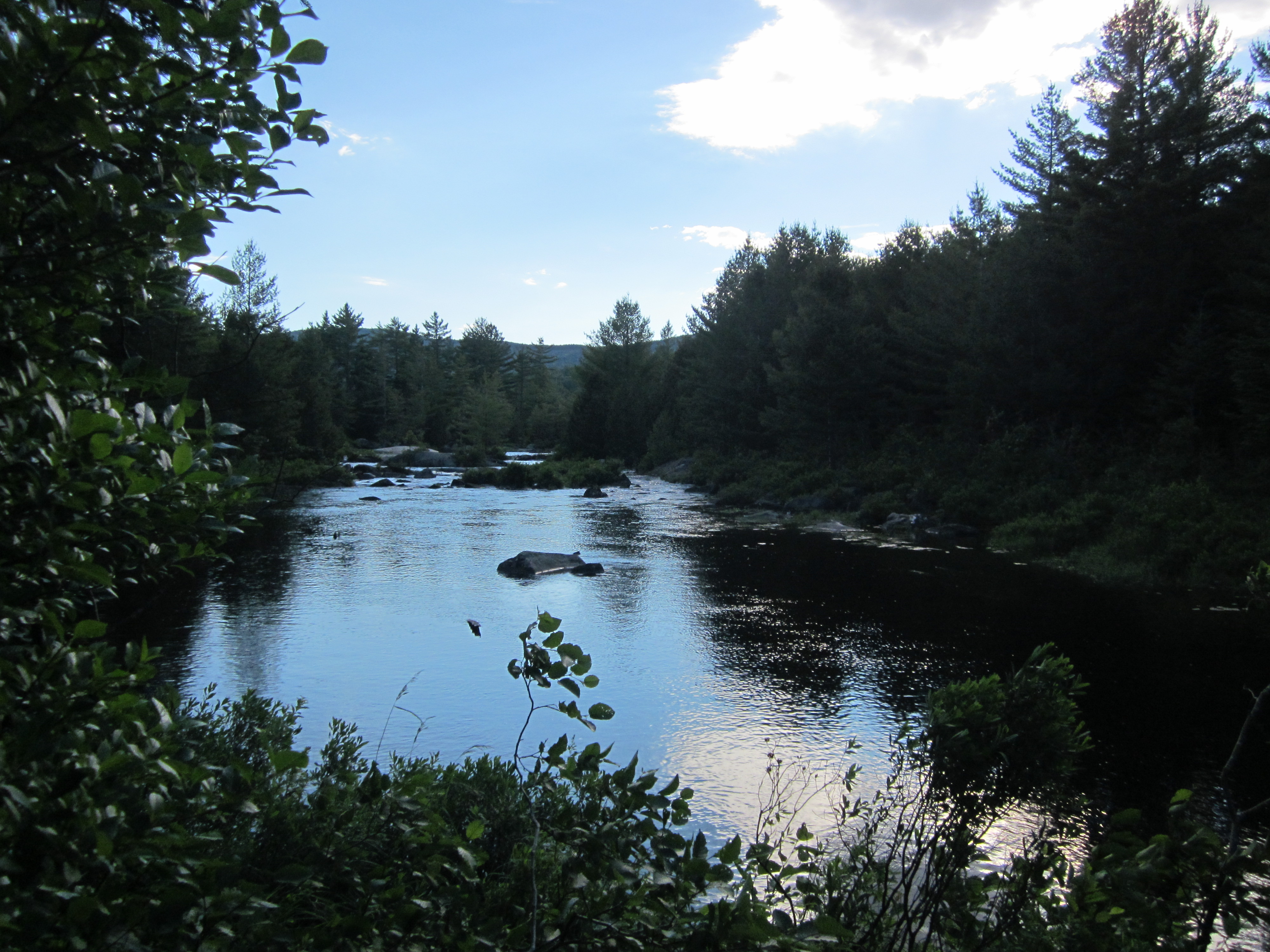
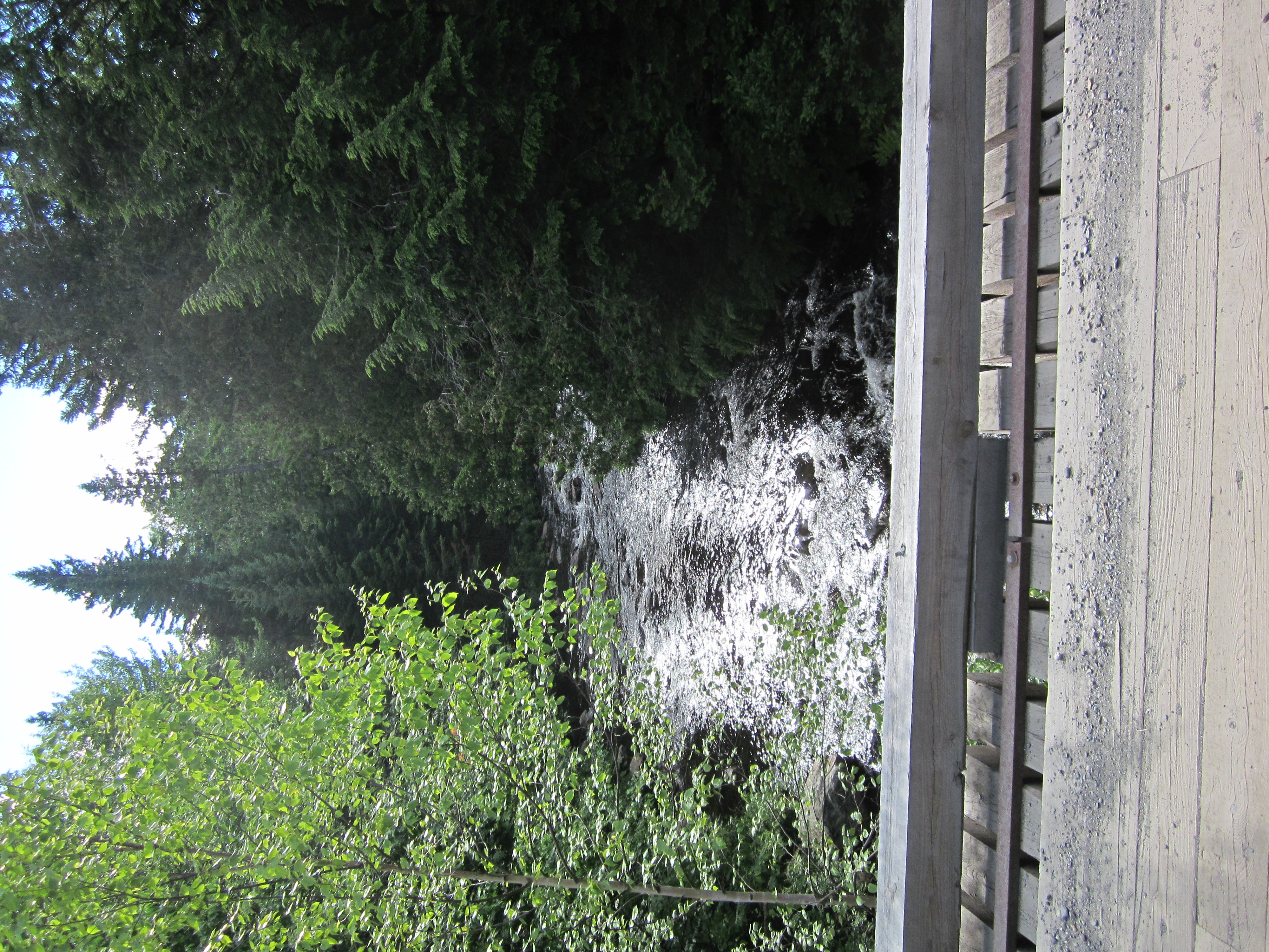
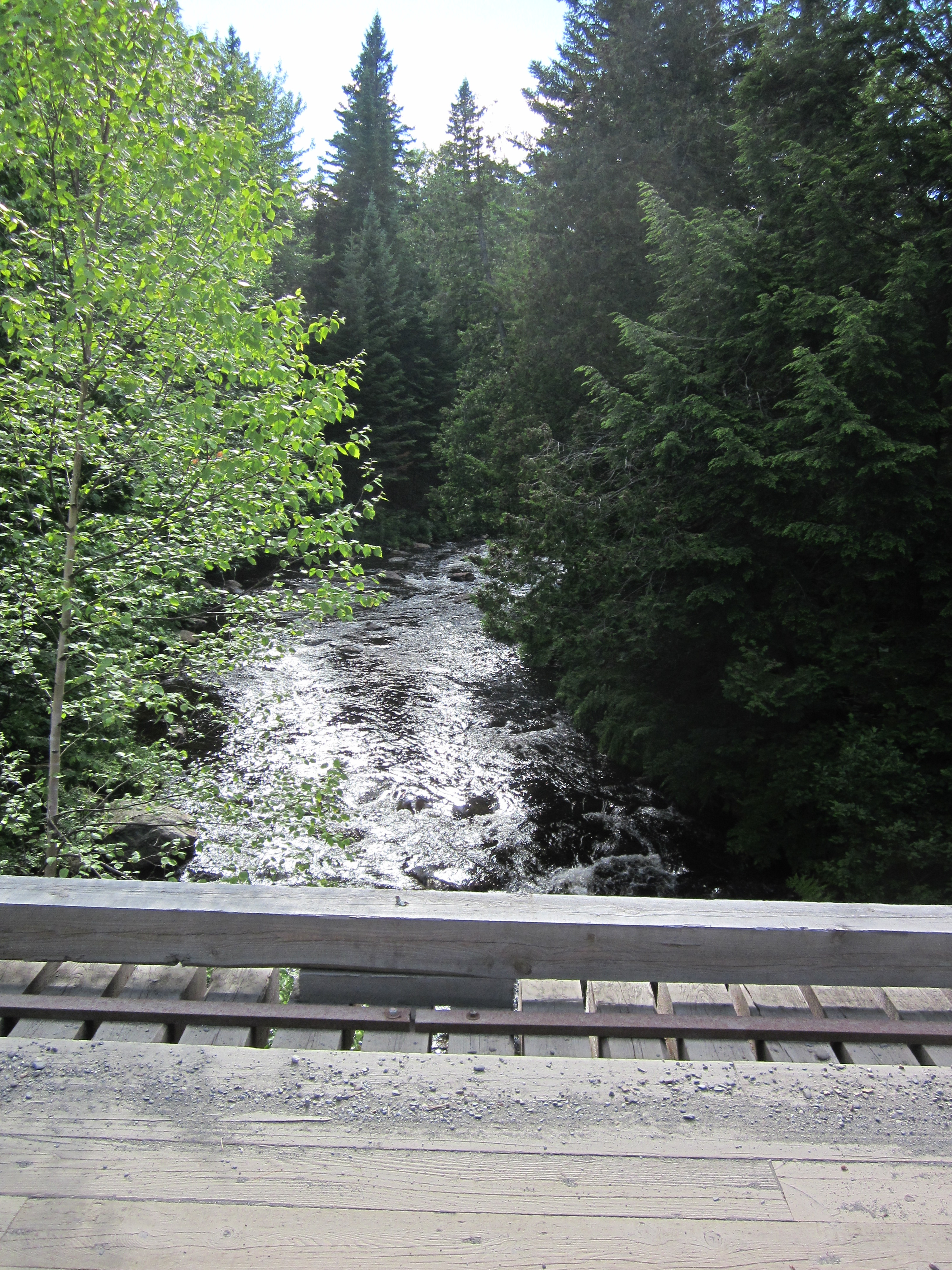
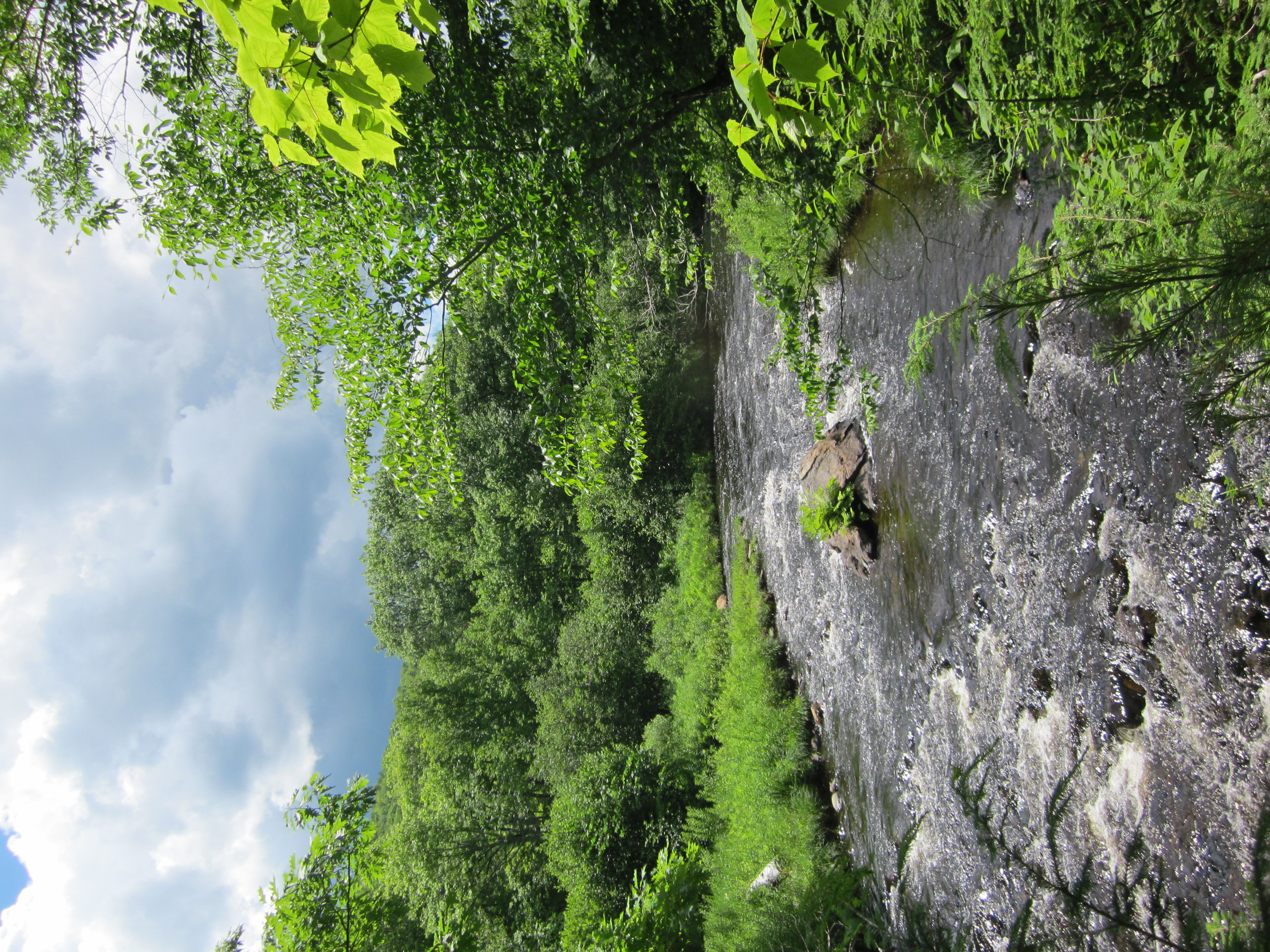
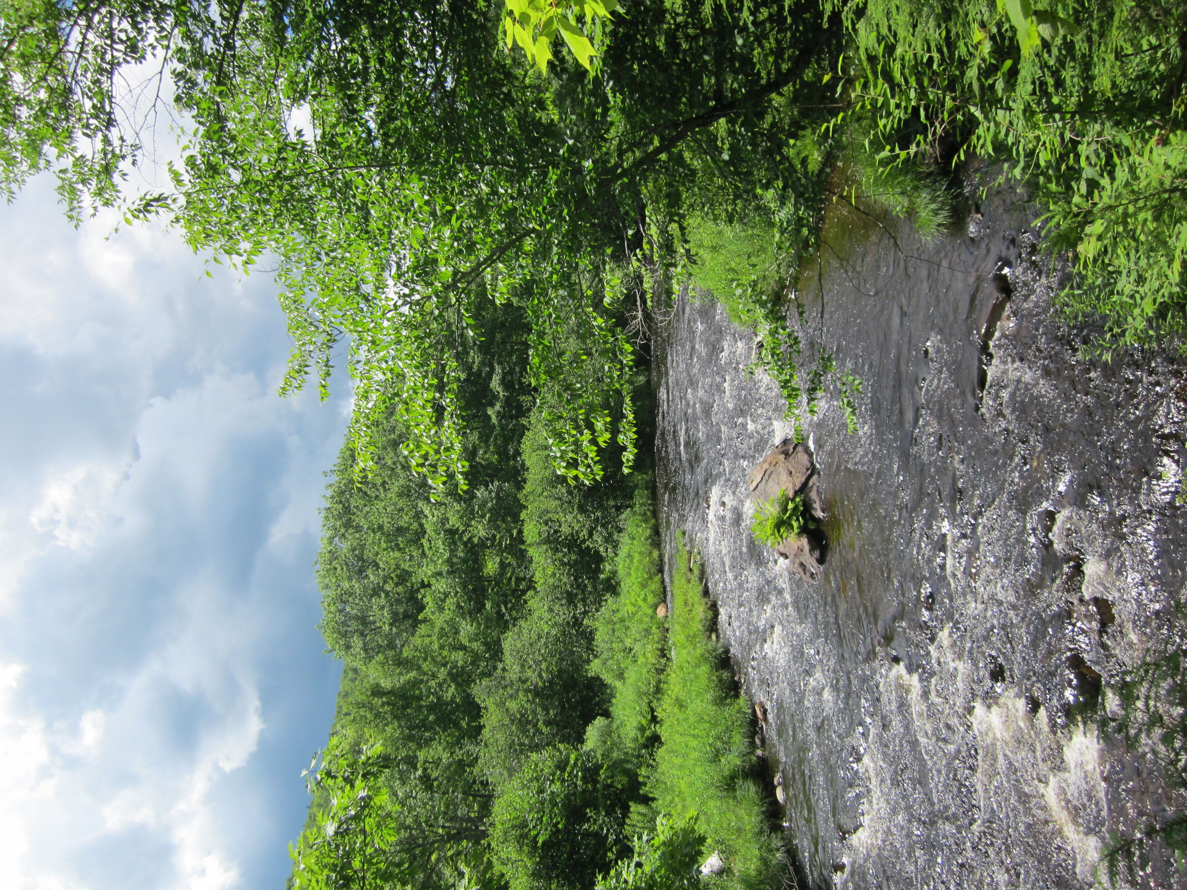
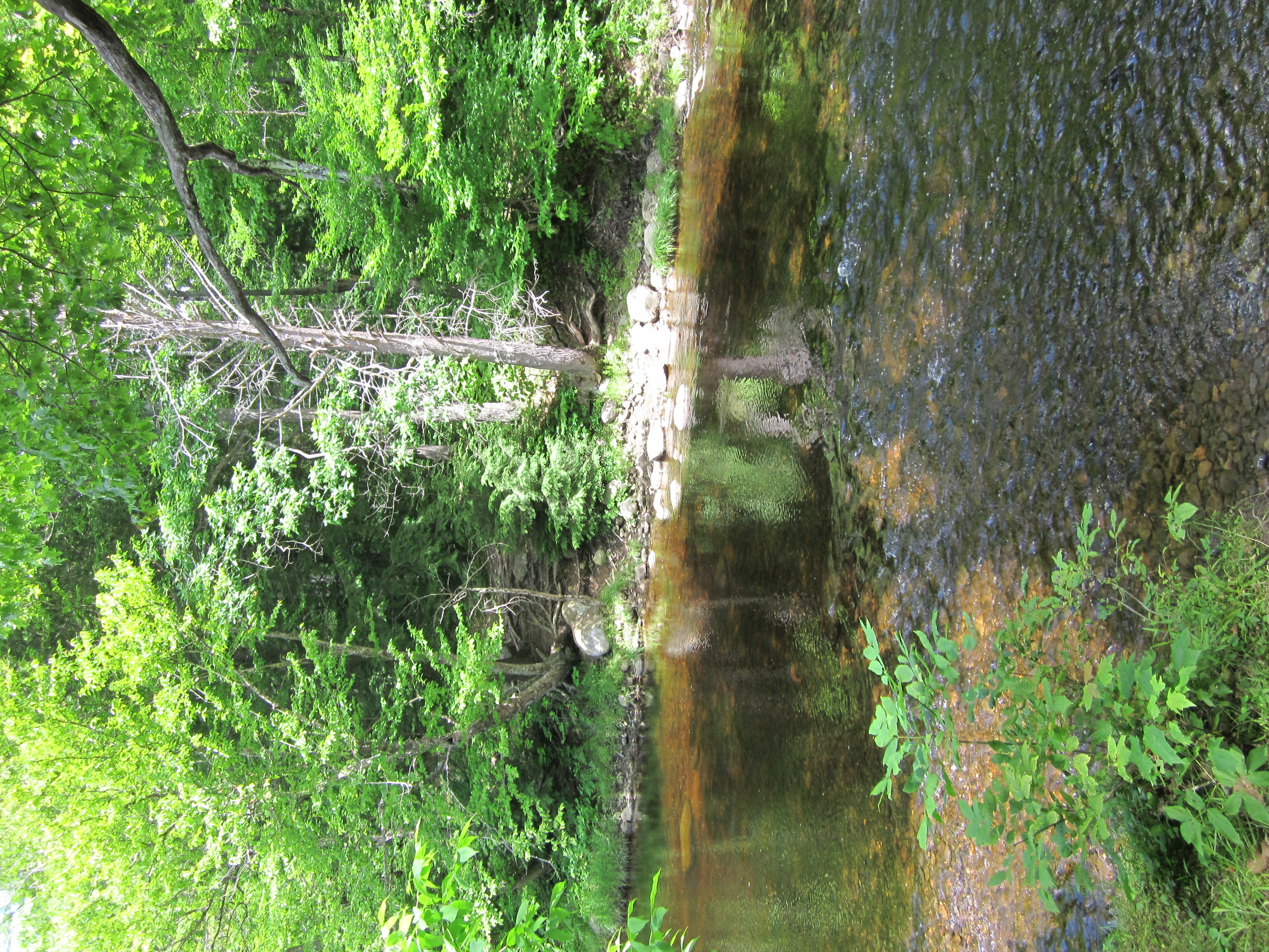
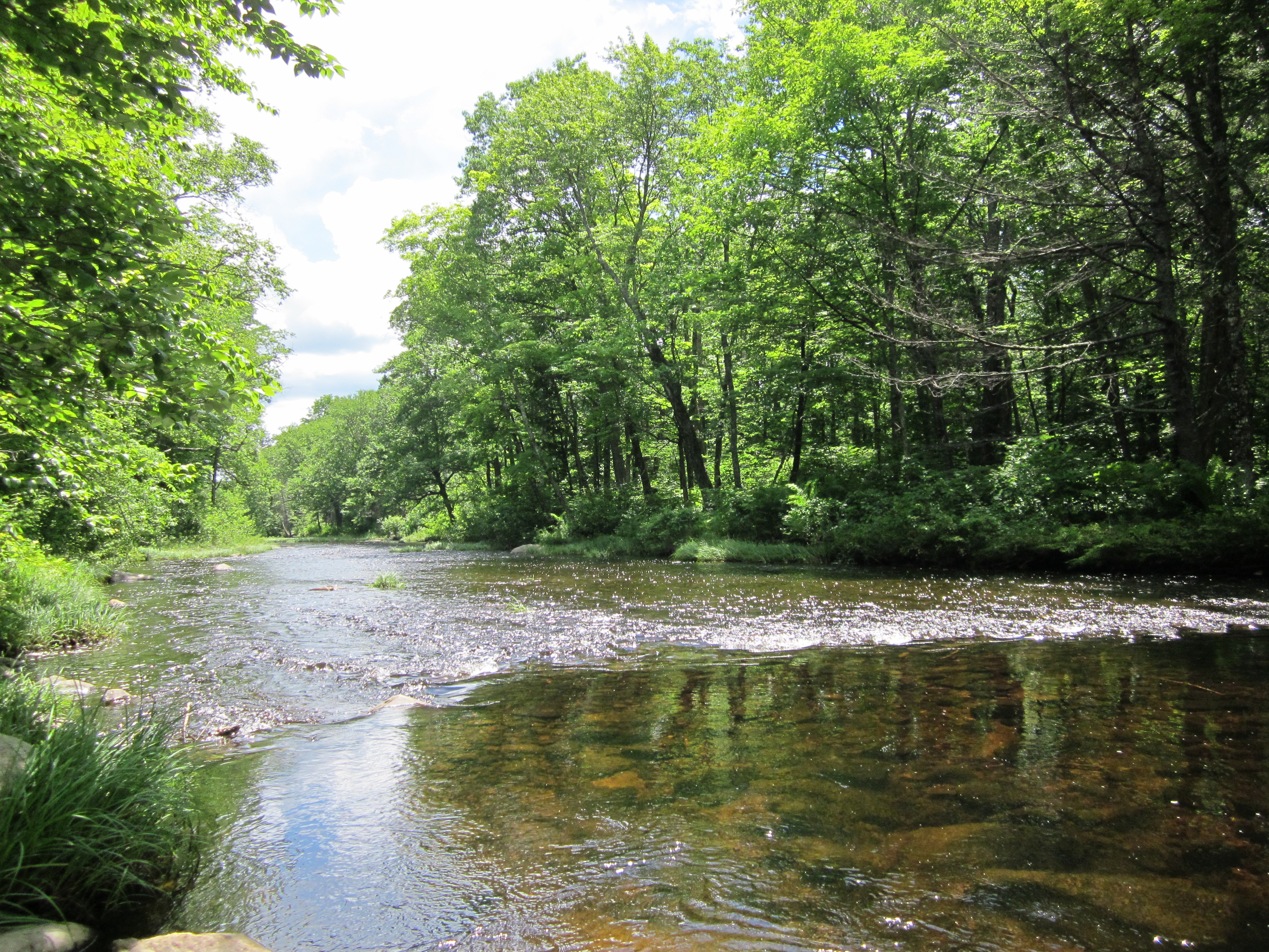
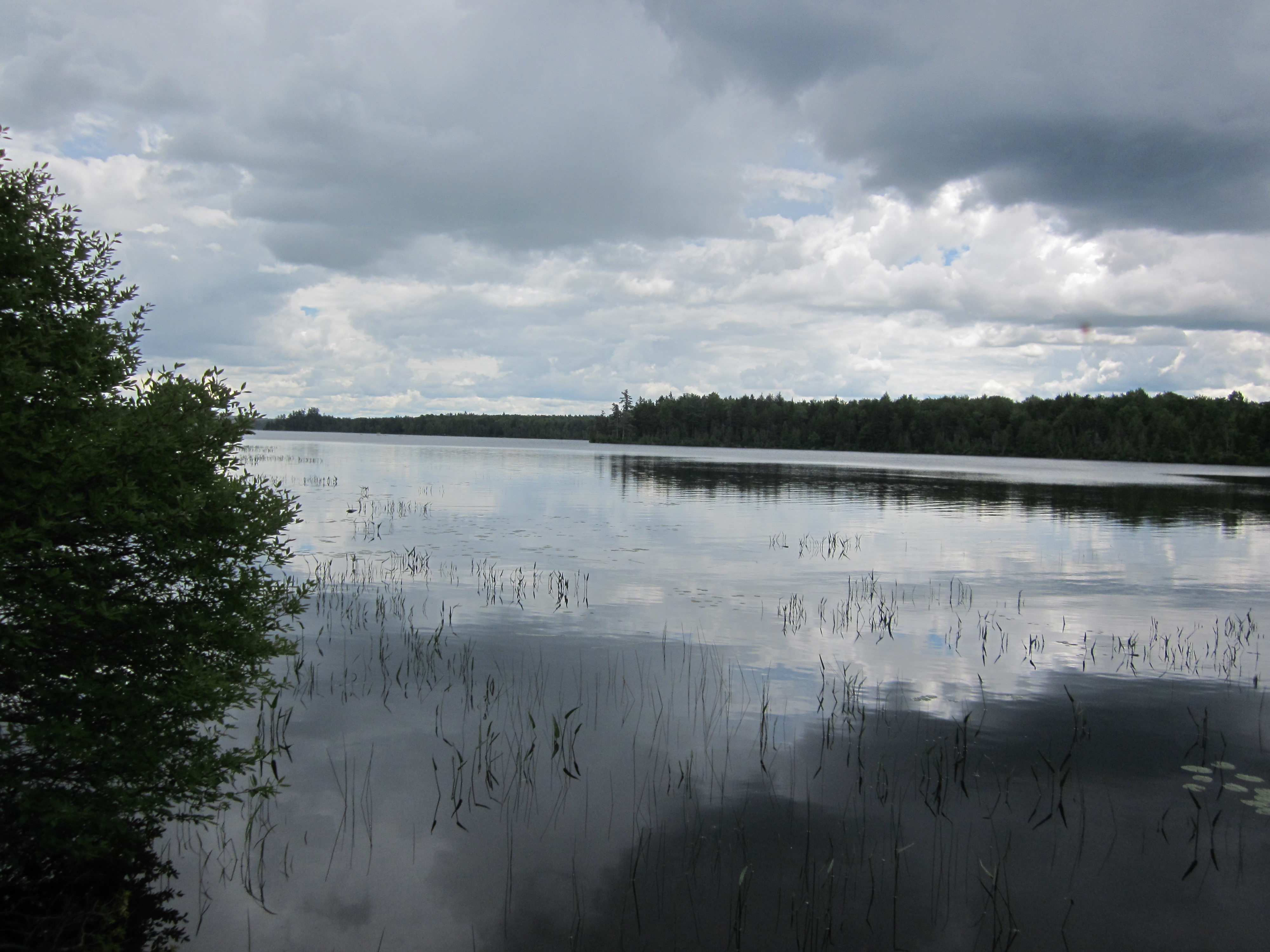
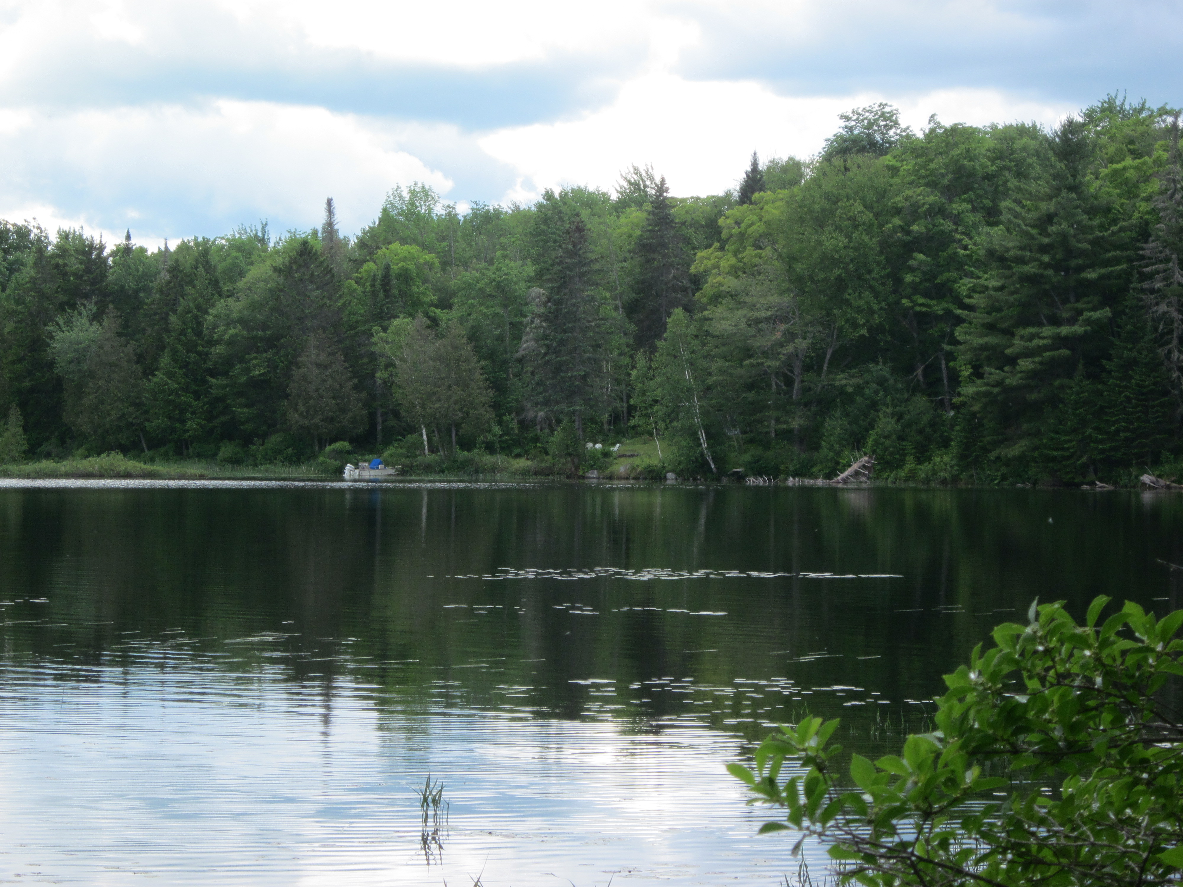
Bald Mountain Pond with bugs

IMG_2112.JPG Original
1/500s f2.8 ISO80
Monday, July 2, 2012 7:36:41PM EDT
Tags: LV
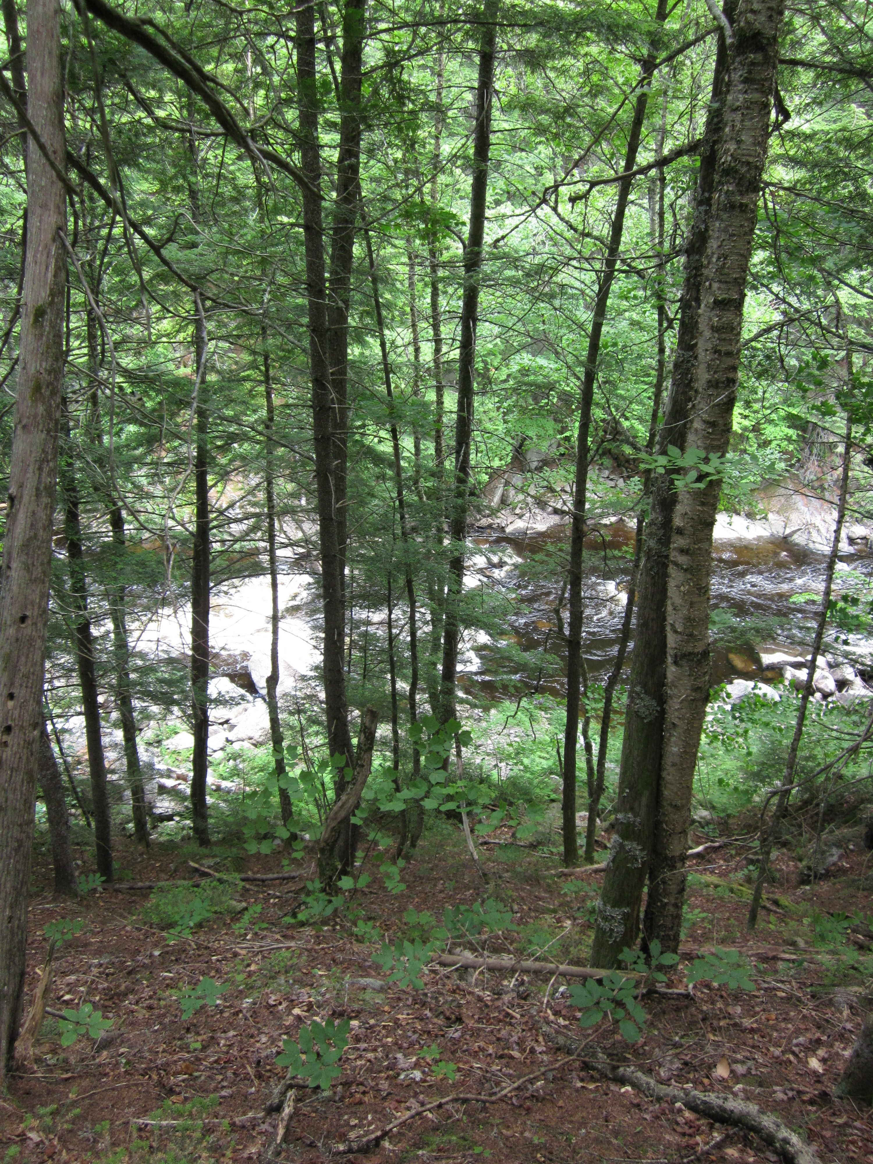
Lake seen from Appalachian Trail.
View from Appalachian Trail
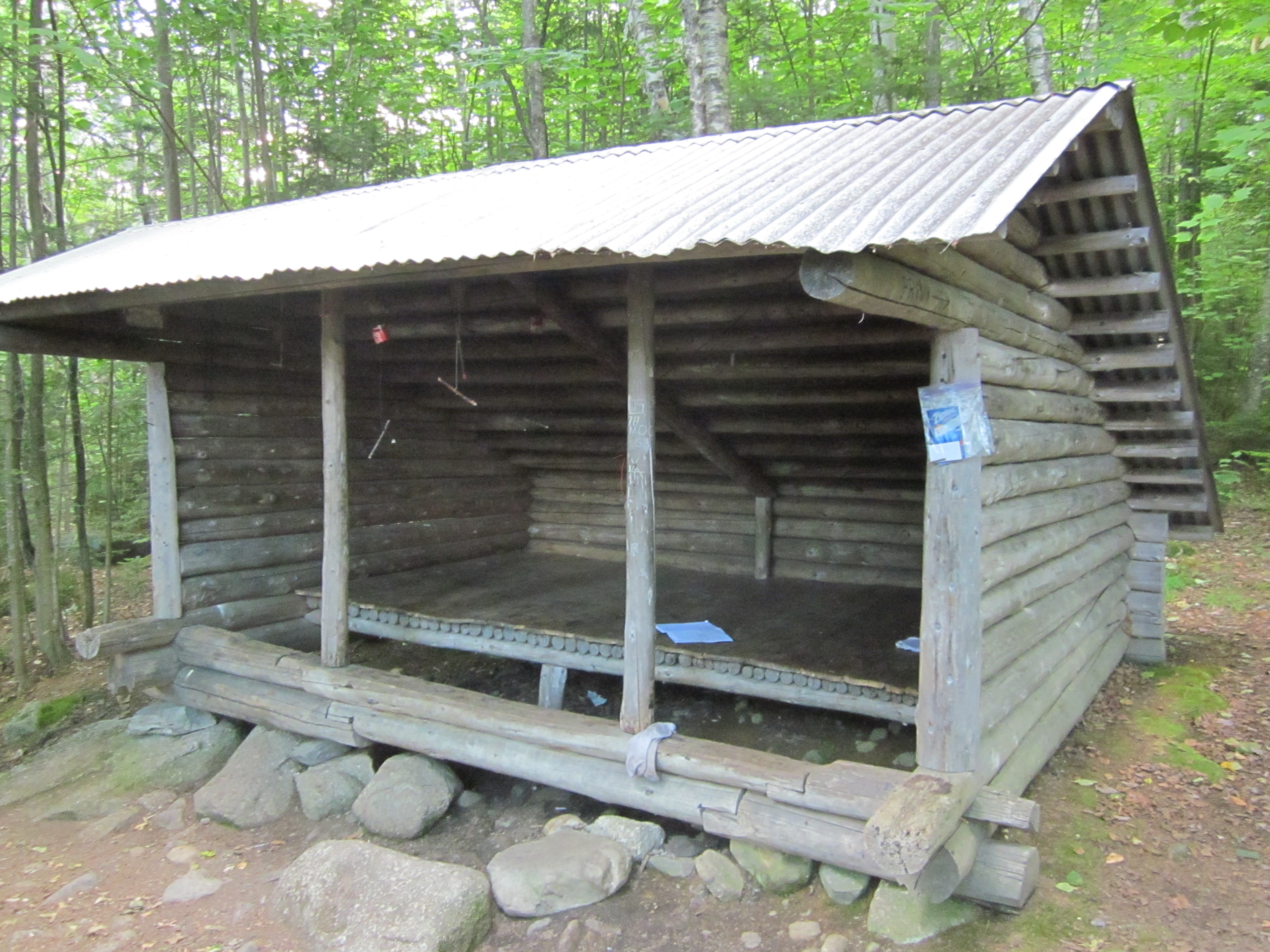
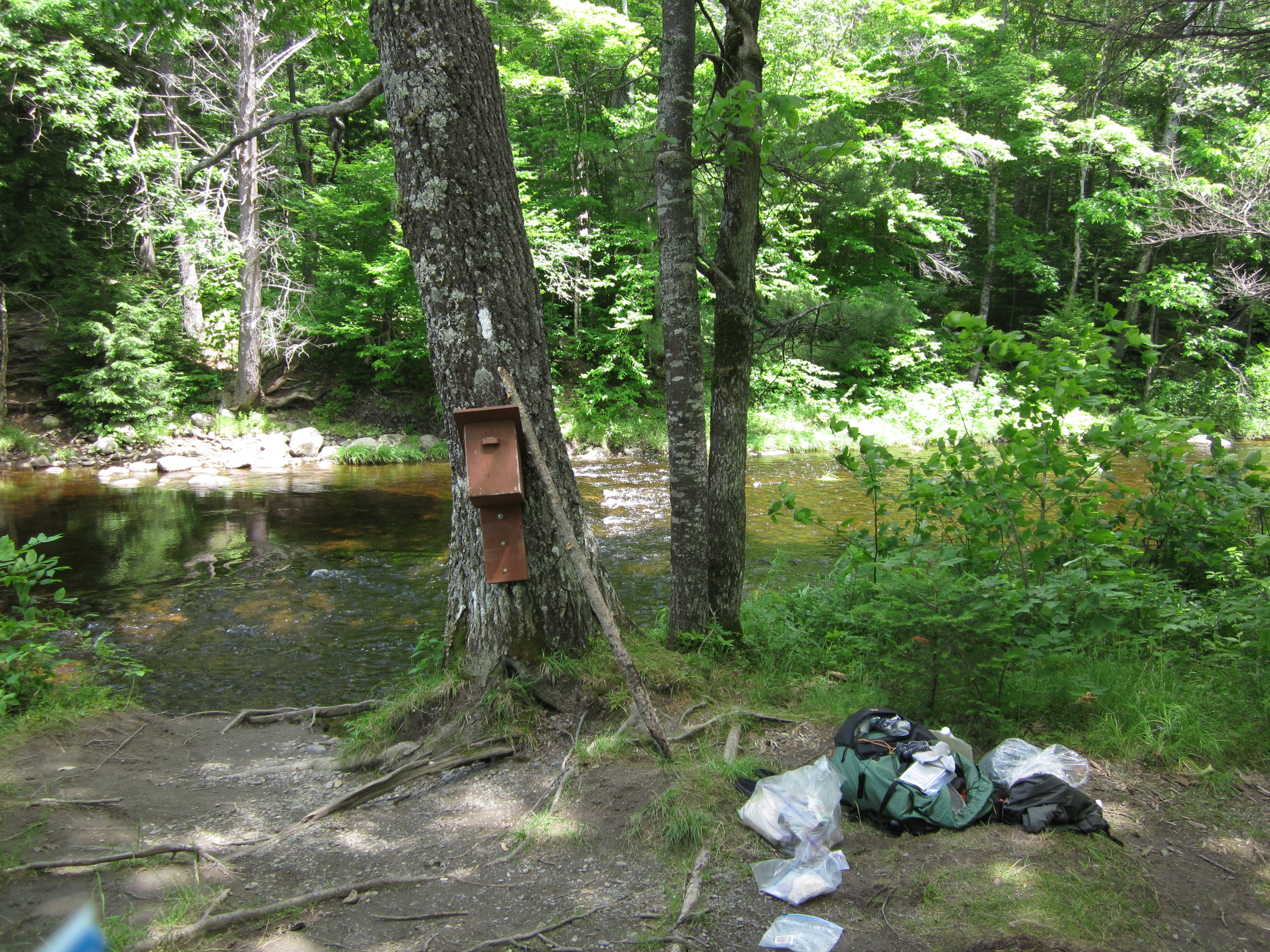
Moxie Bald Lean-to

IMG_2111.JPG Original
1/20s f2.8 ISO640
Monday, July 2, 2012 6:59:04PM EDT
Tags: V
View from Appalachian Trail
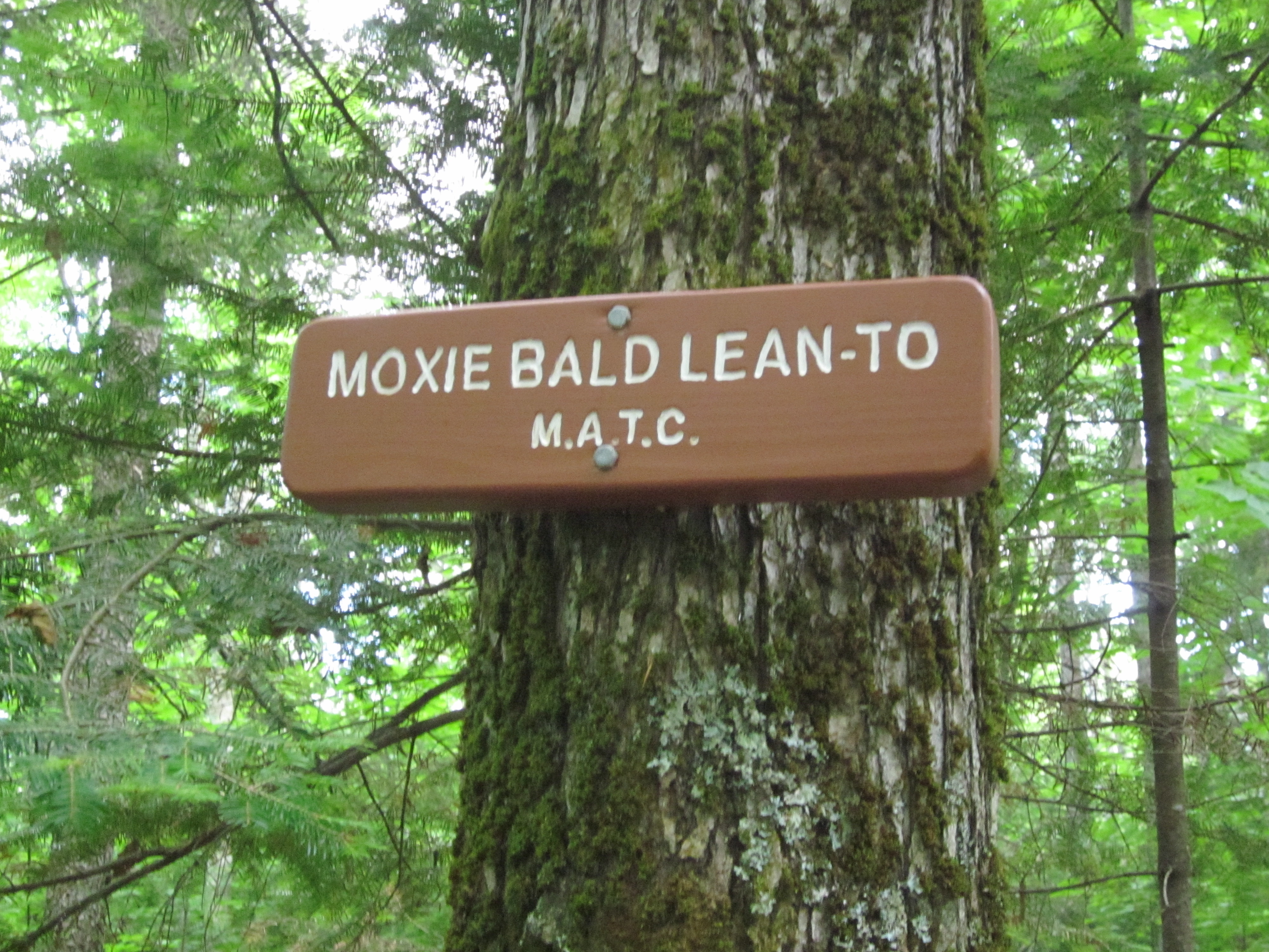
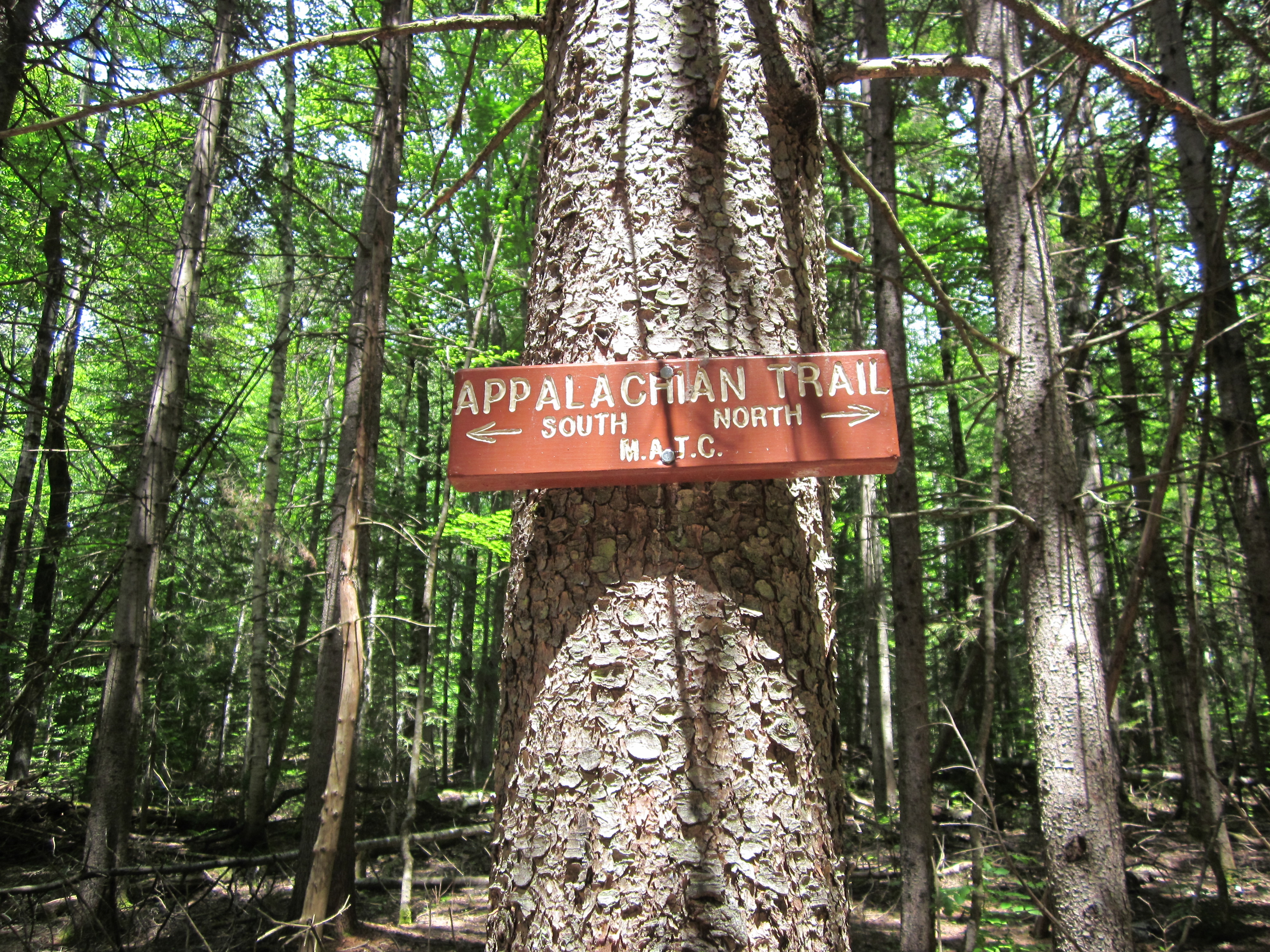
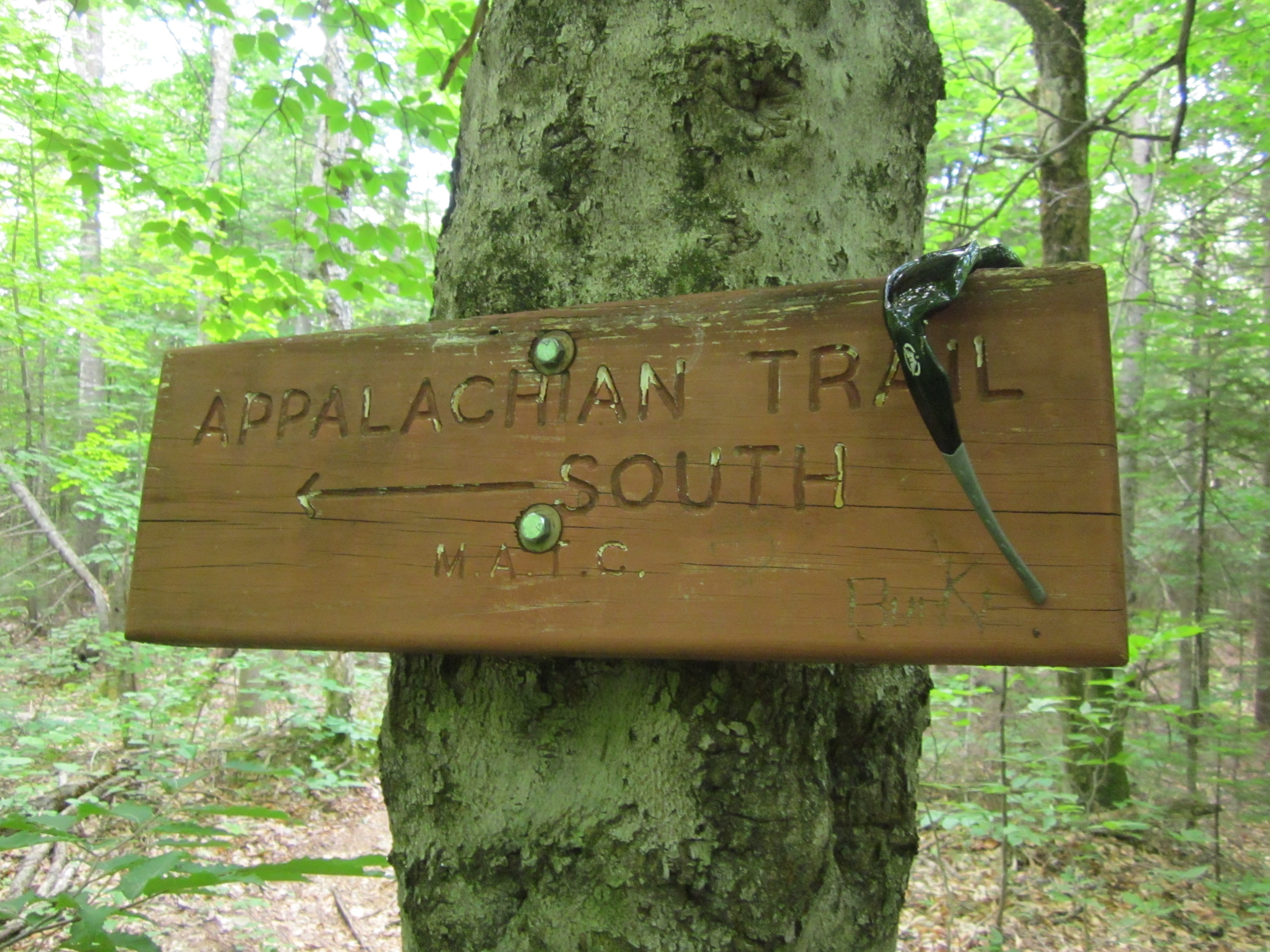
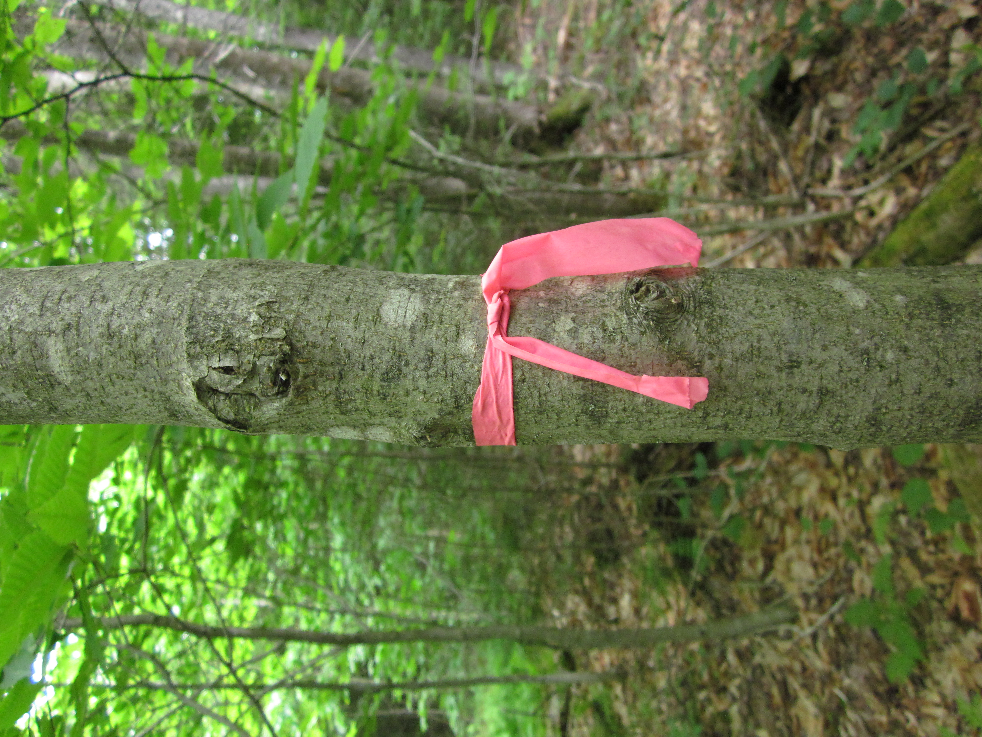
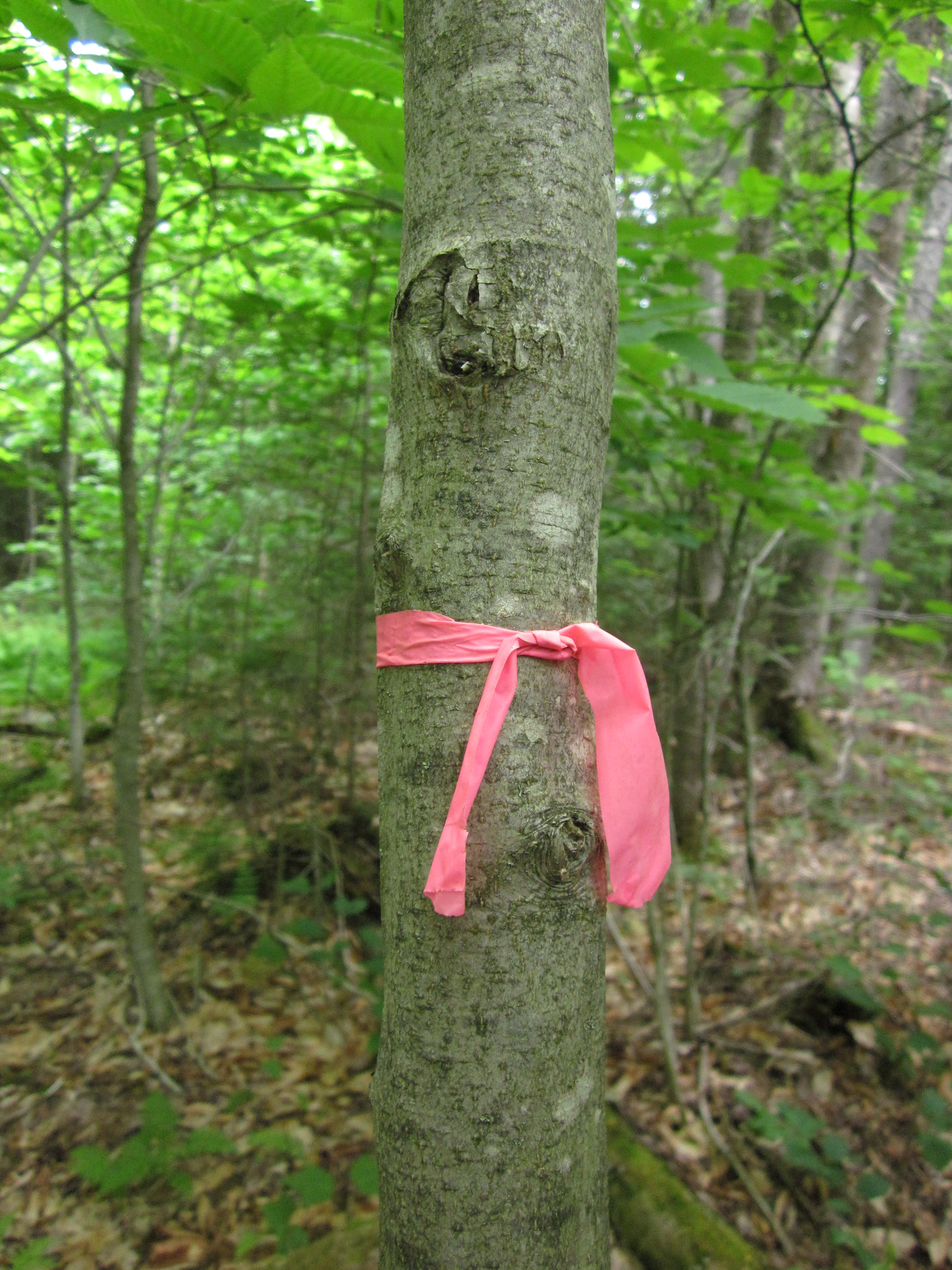
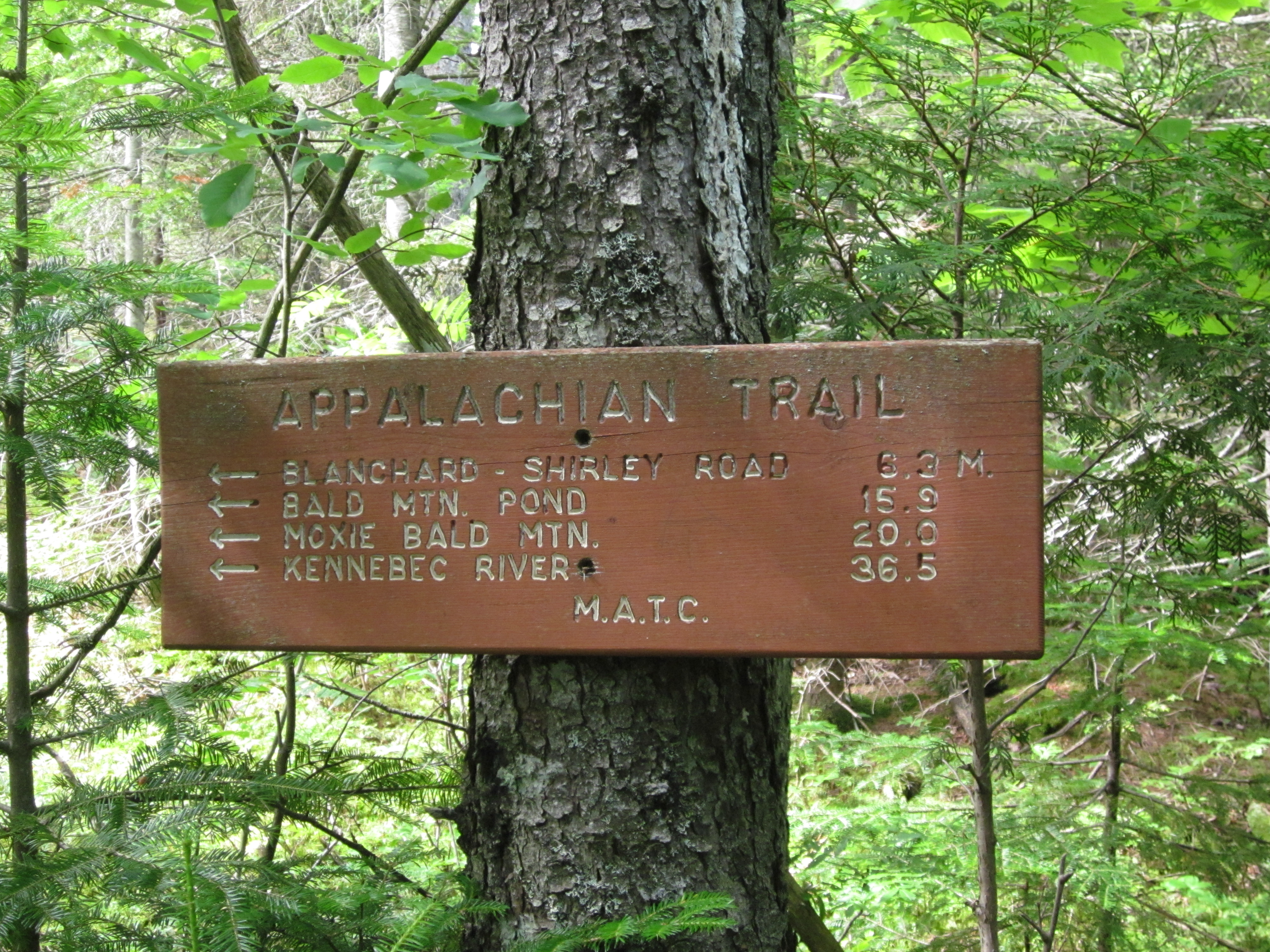
Sign for Moxie Bald Lean-to

IMG_2110.JPG Original
1/15s f3.5 ISO800
Monday, July 2, 2012 6:57:48PM EDT
Tags: S
Appalachian Trail sign.

IMG_2109.JPG Original
1/40s f2.8 ISO400
Full size rotated image
Rotation angle: 90
Monday, July 2, 2012 6:43:52PM EDT
Tags: T
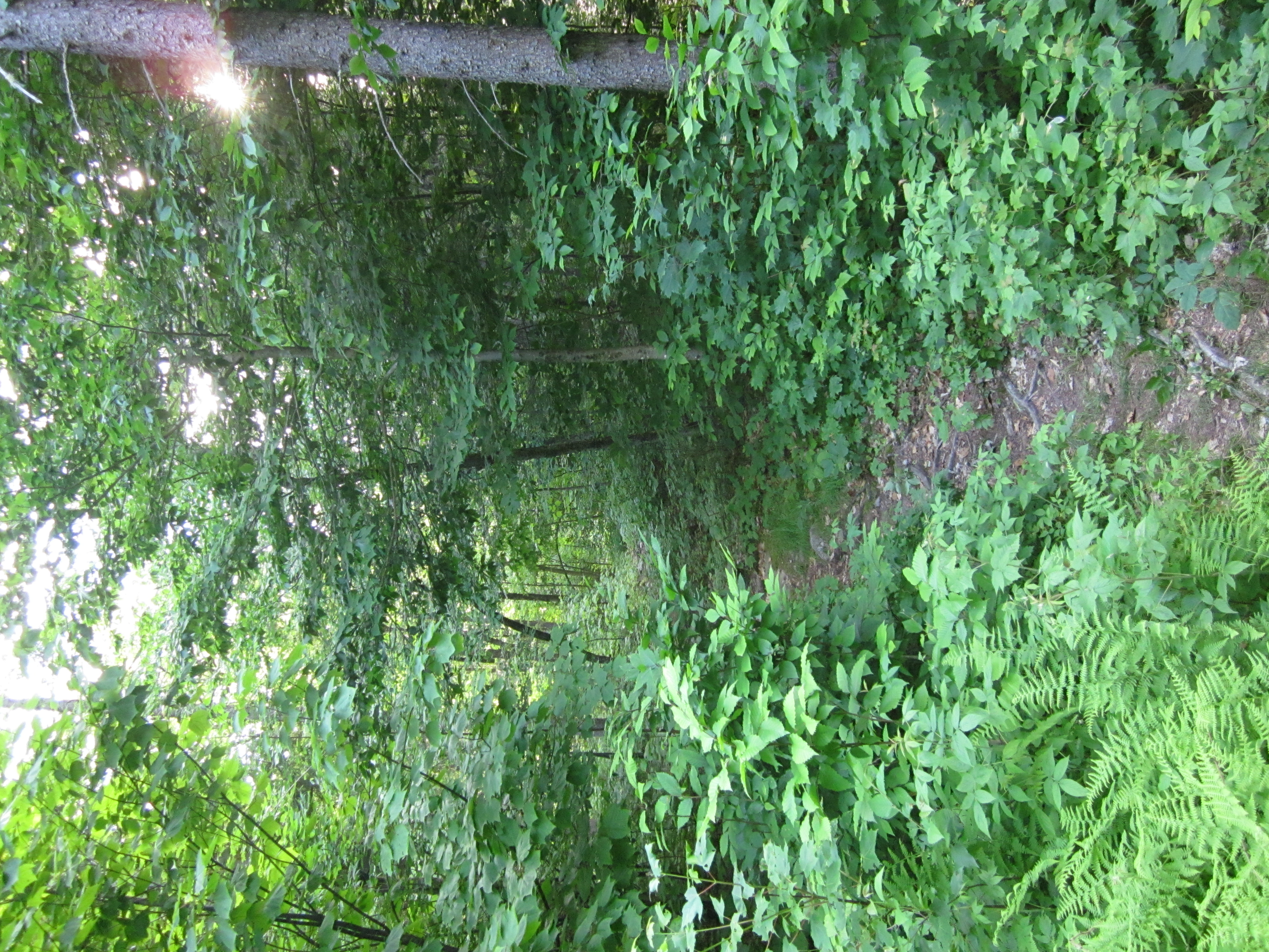
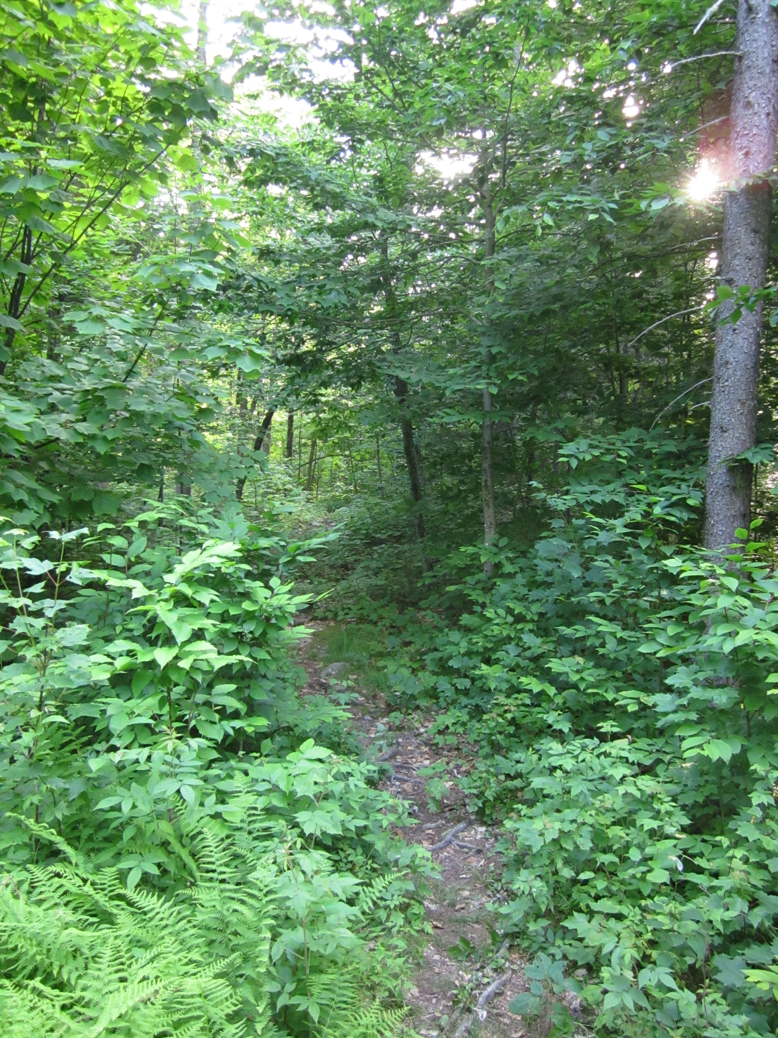
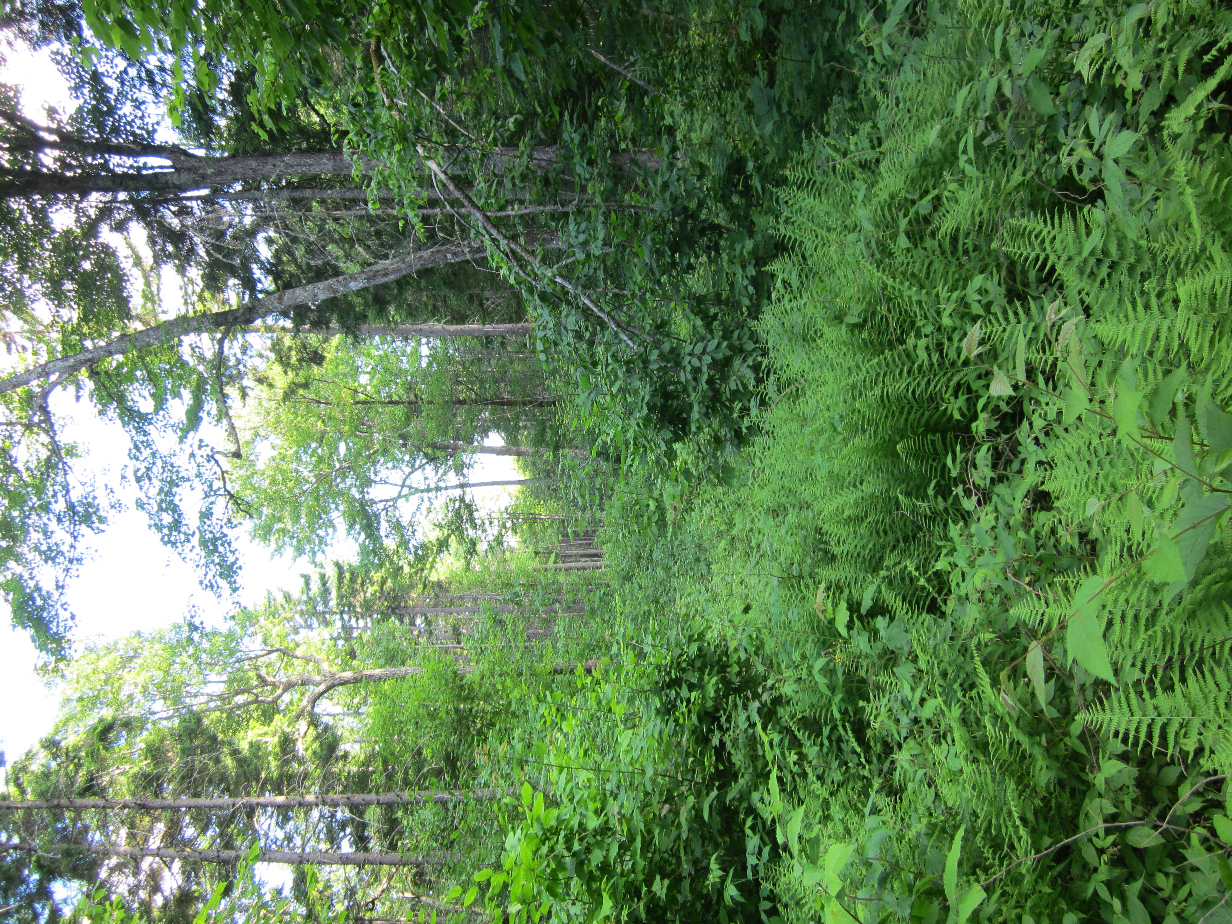
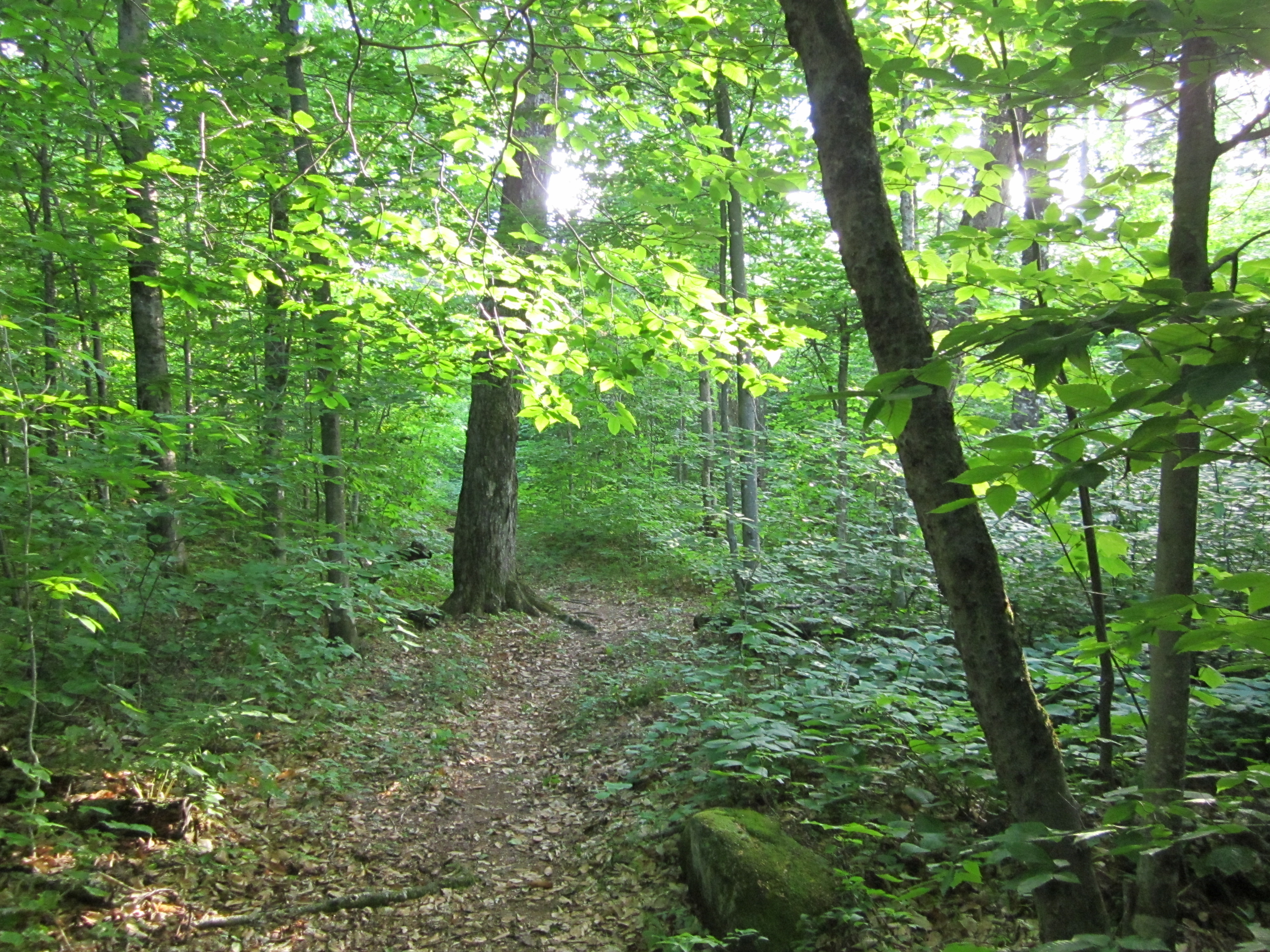
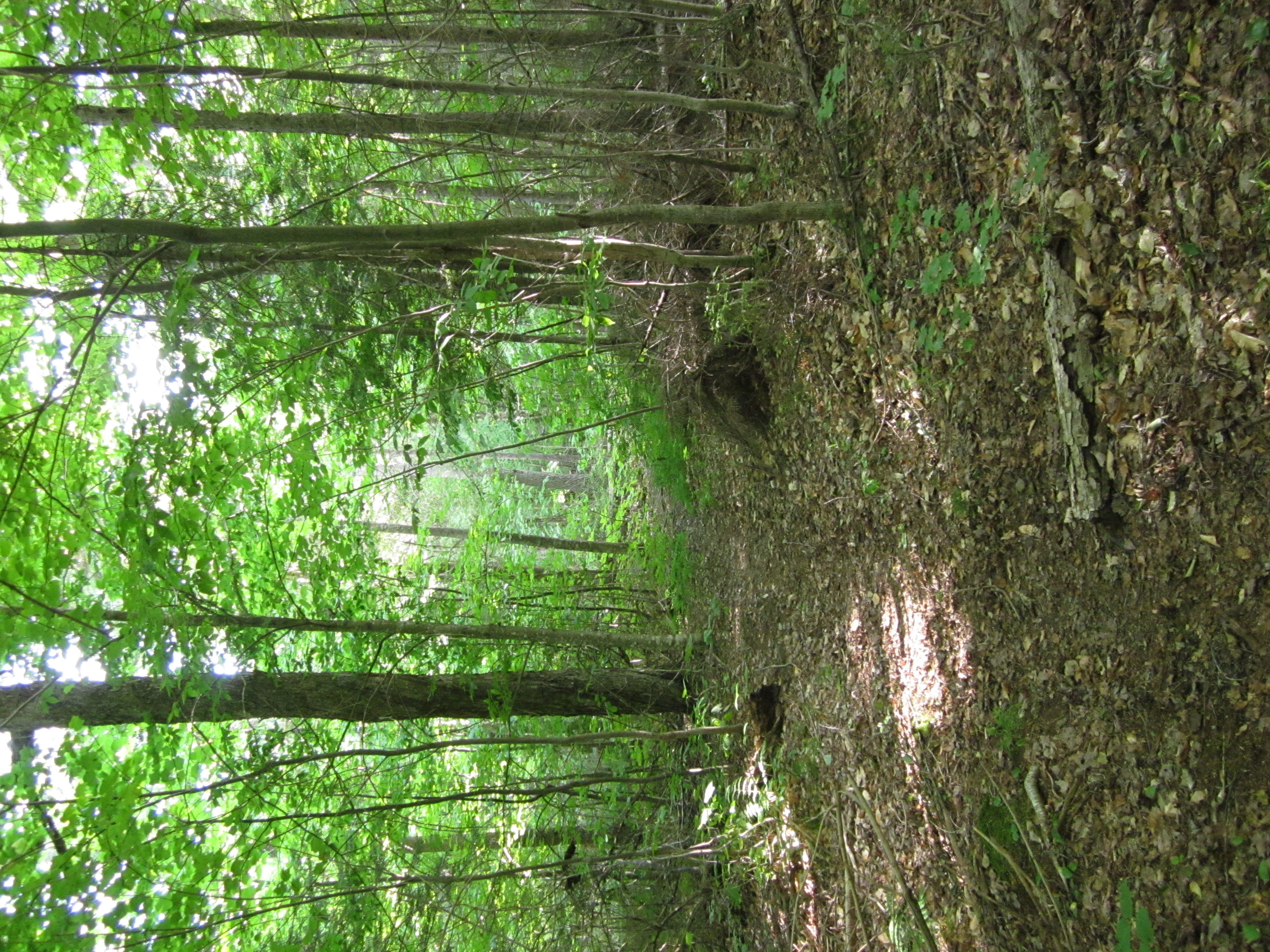
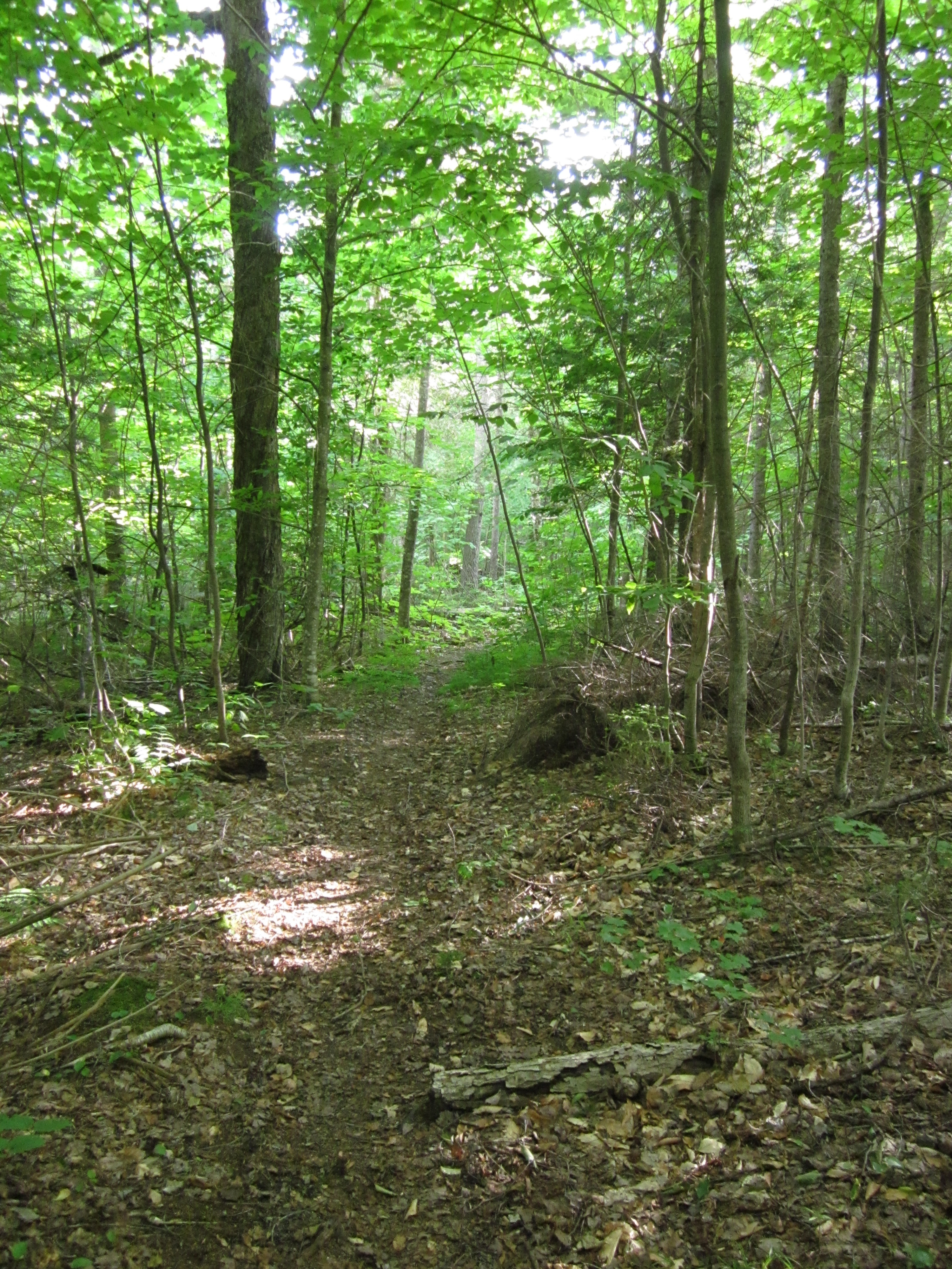
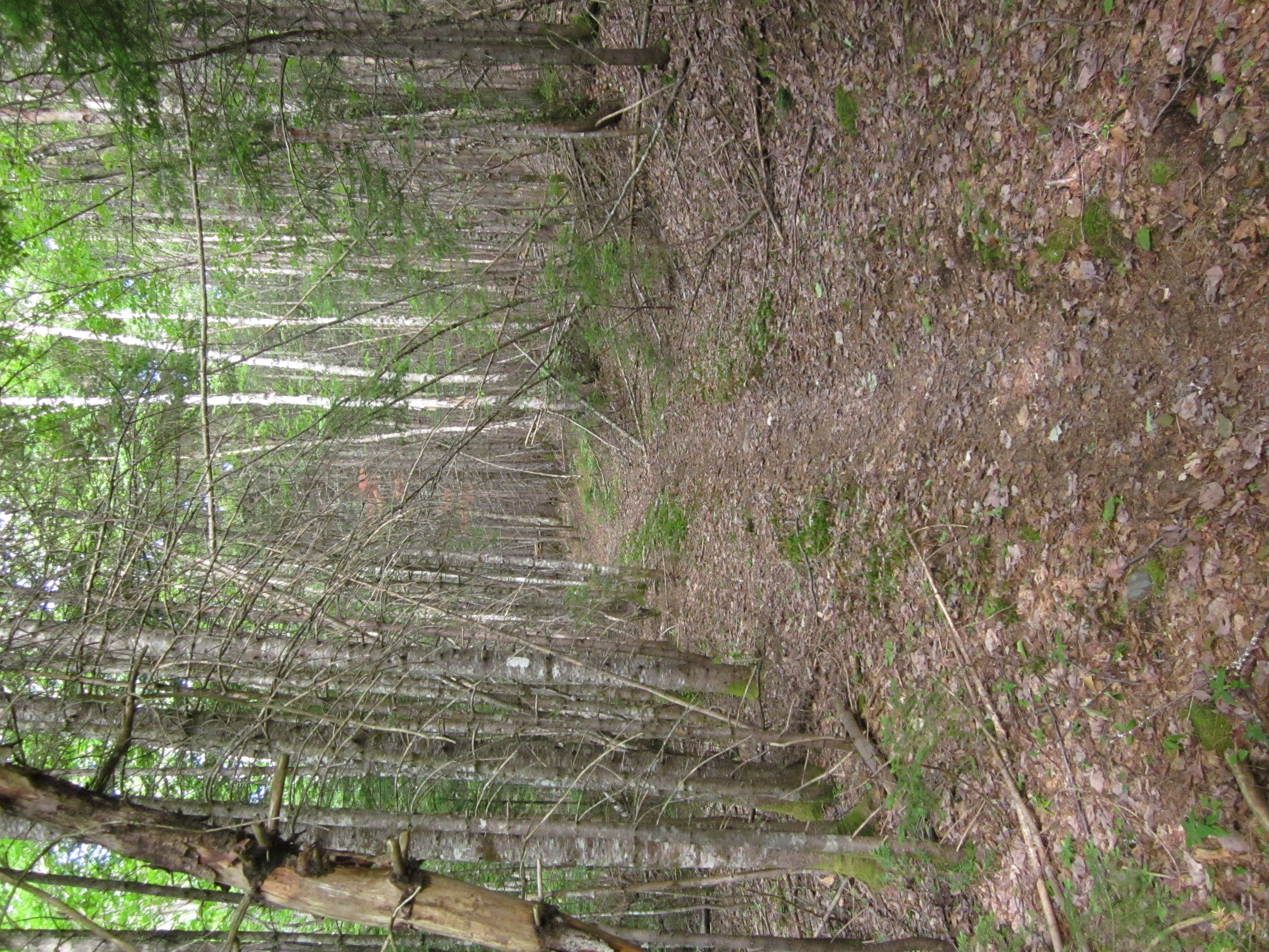
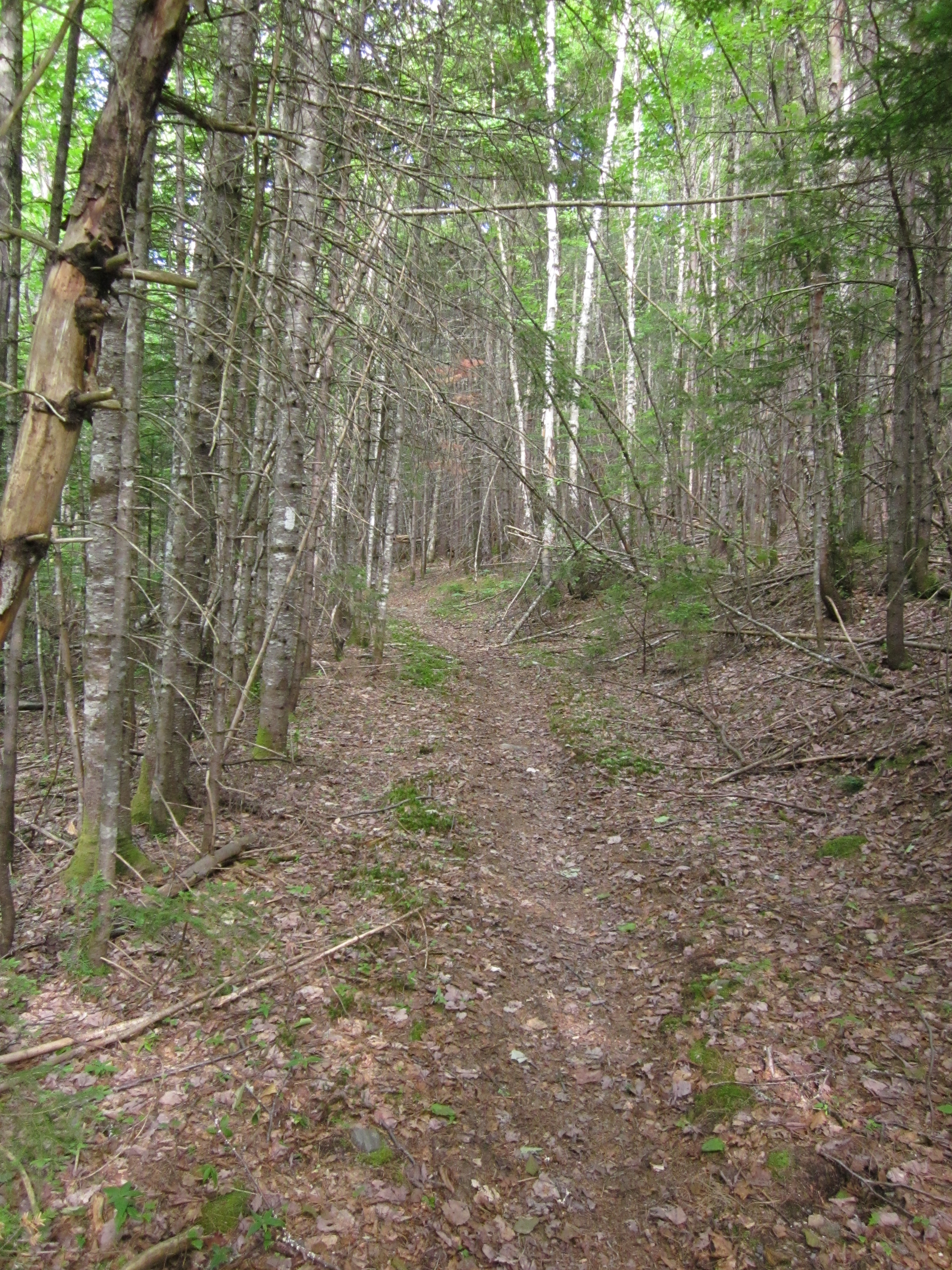
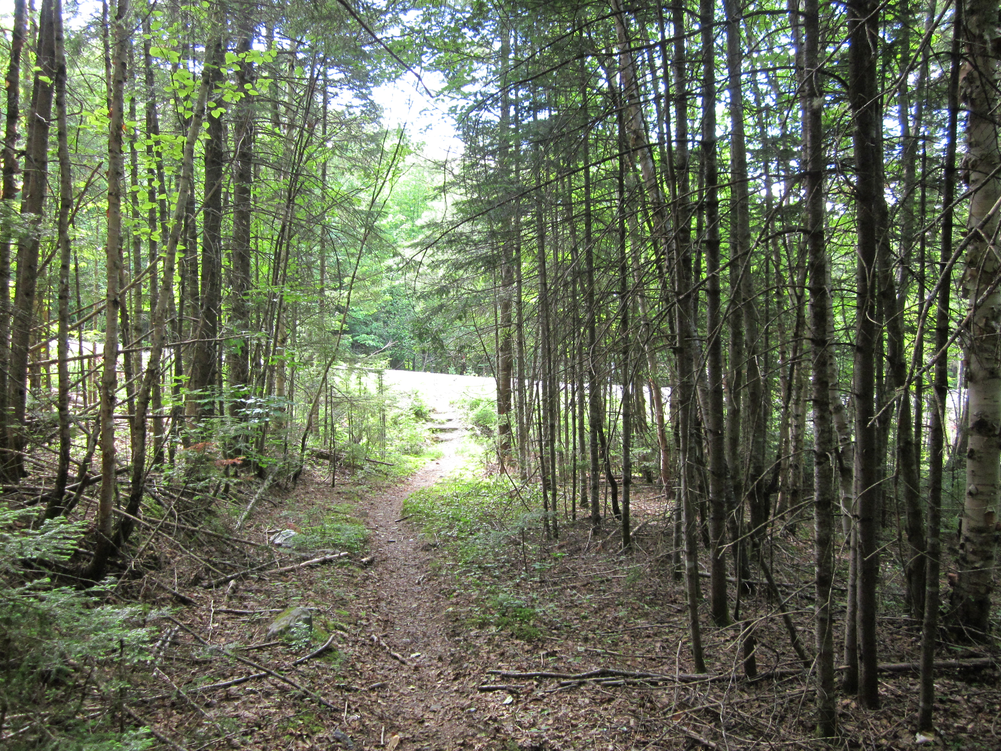
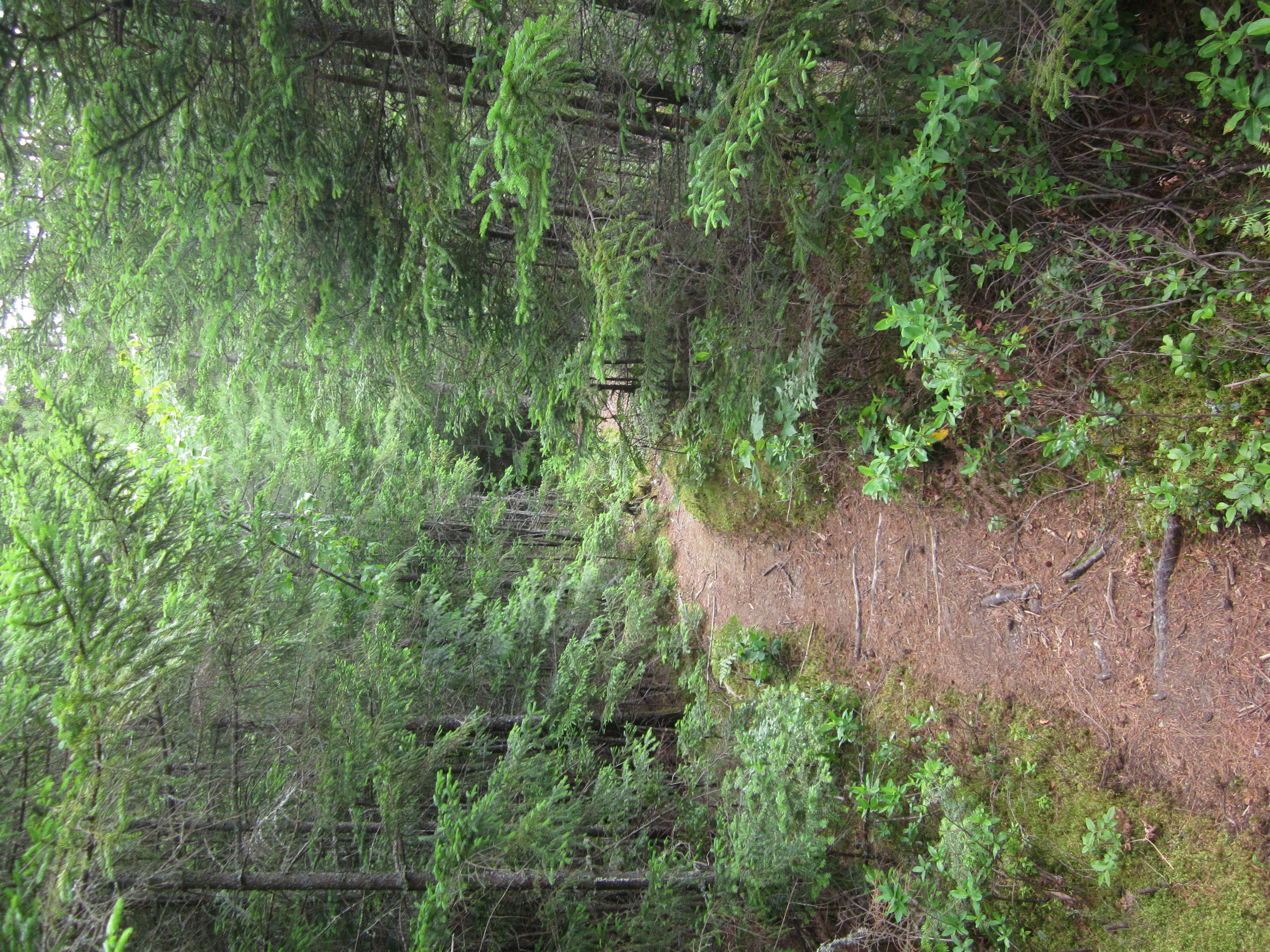
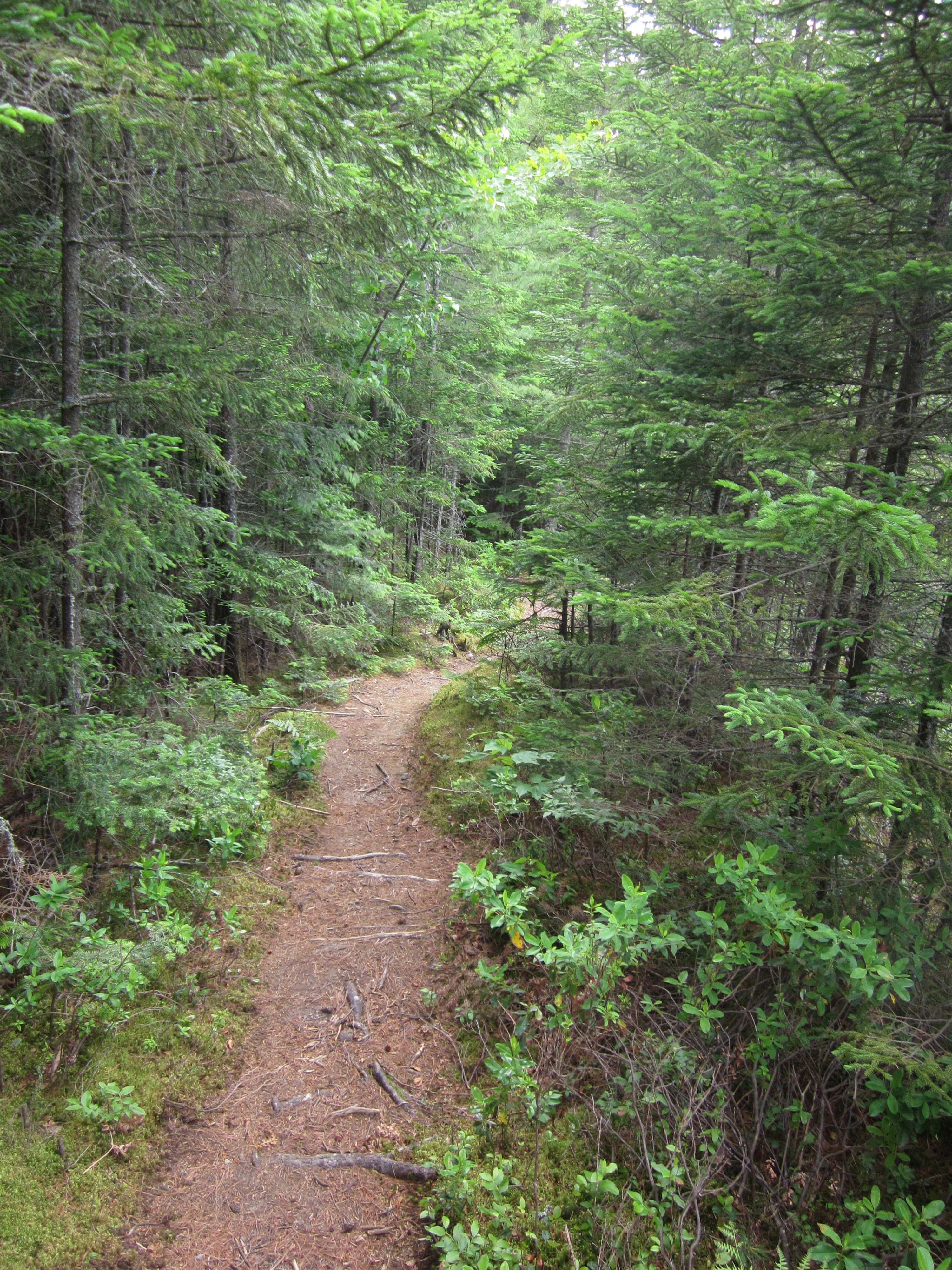
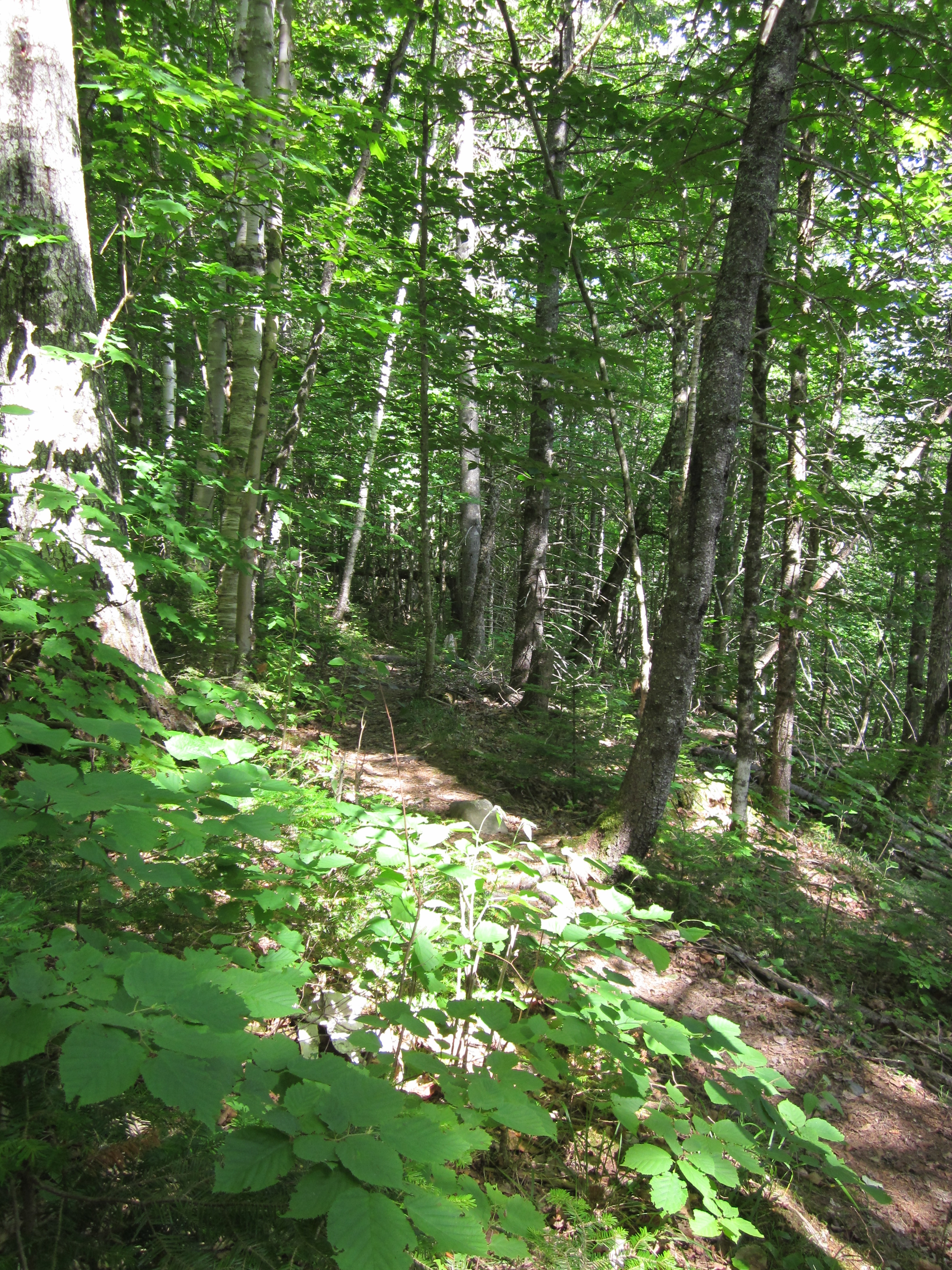
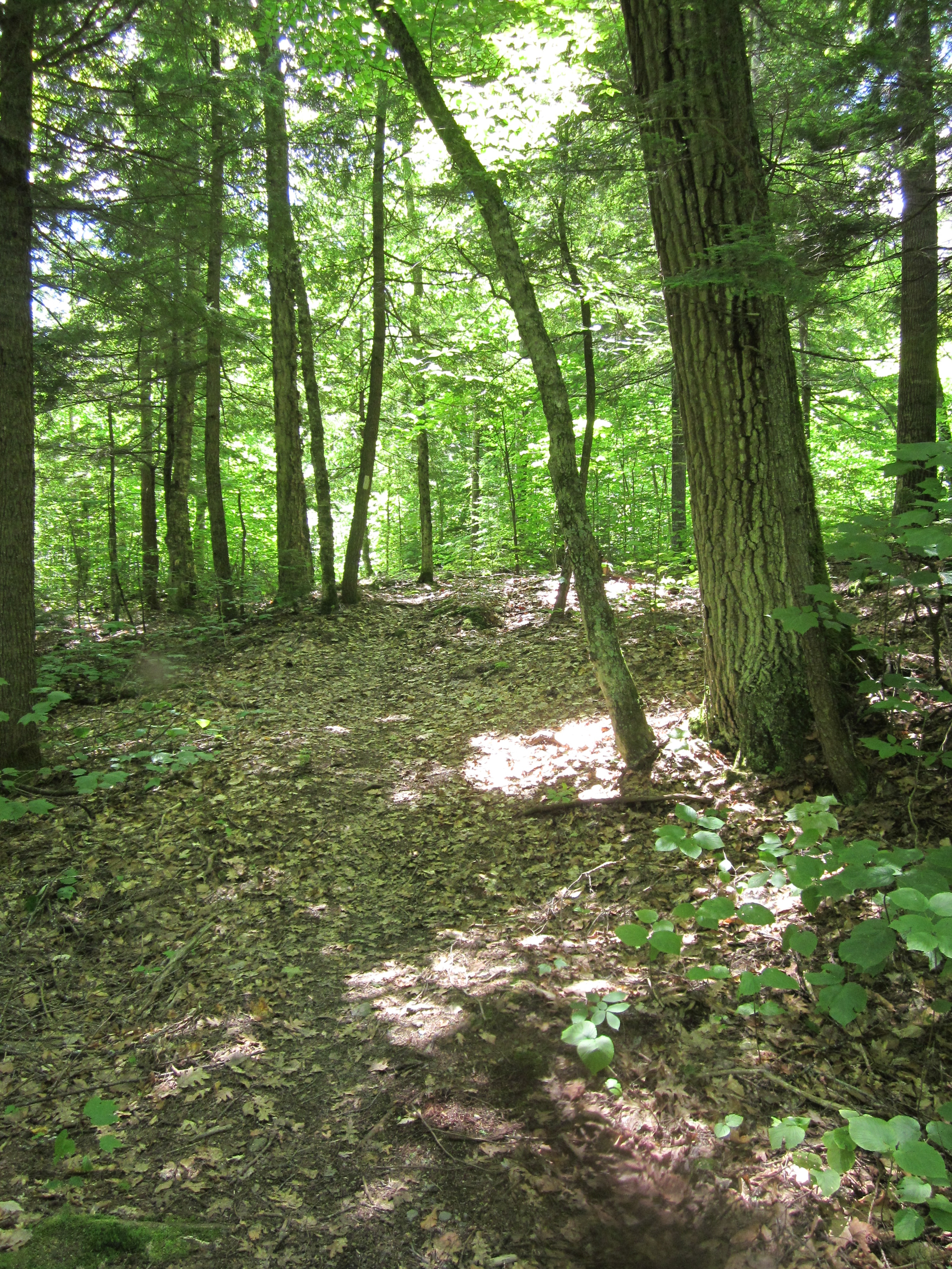
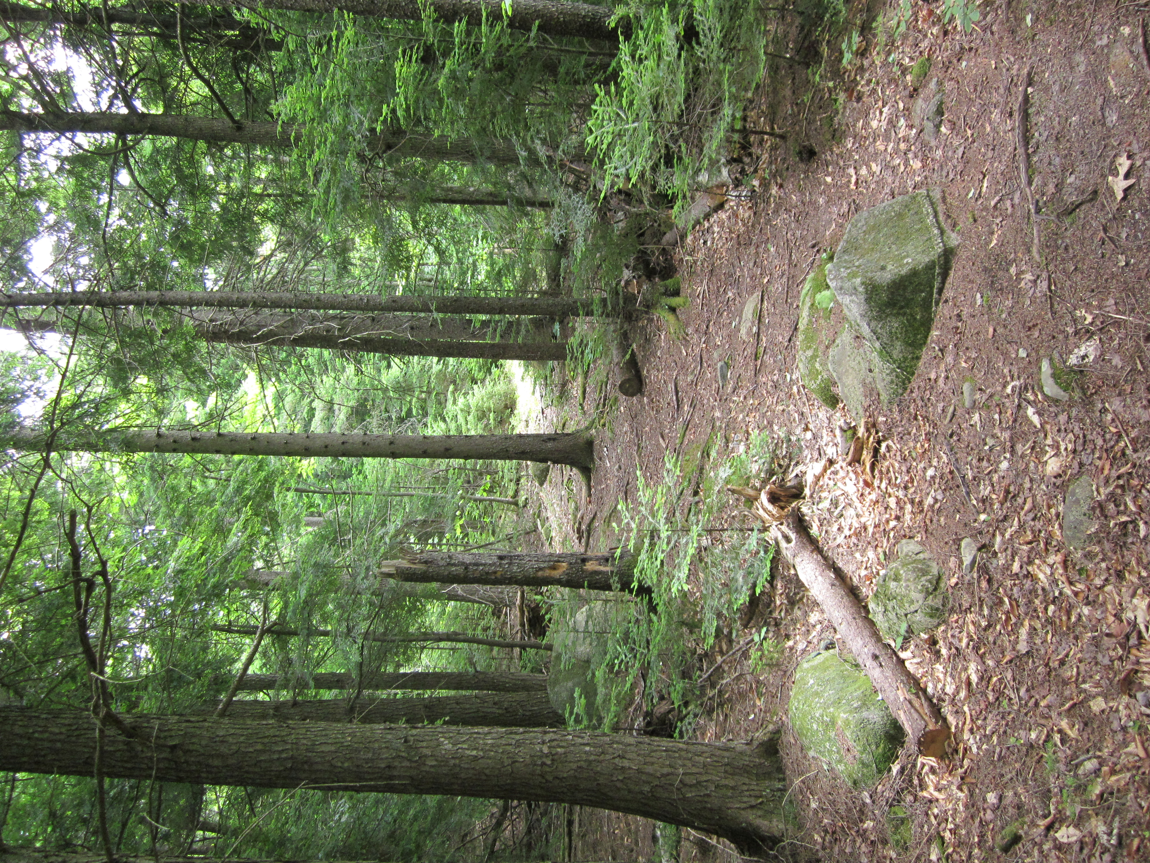
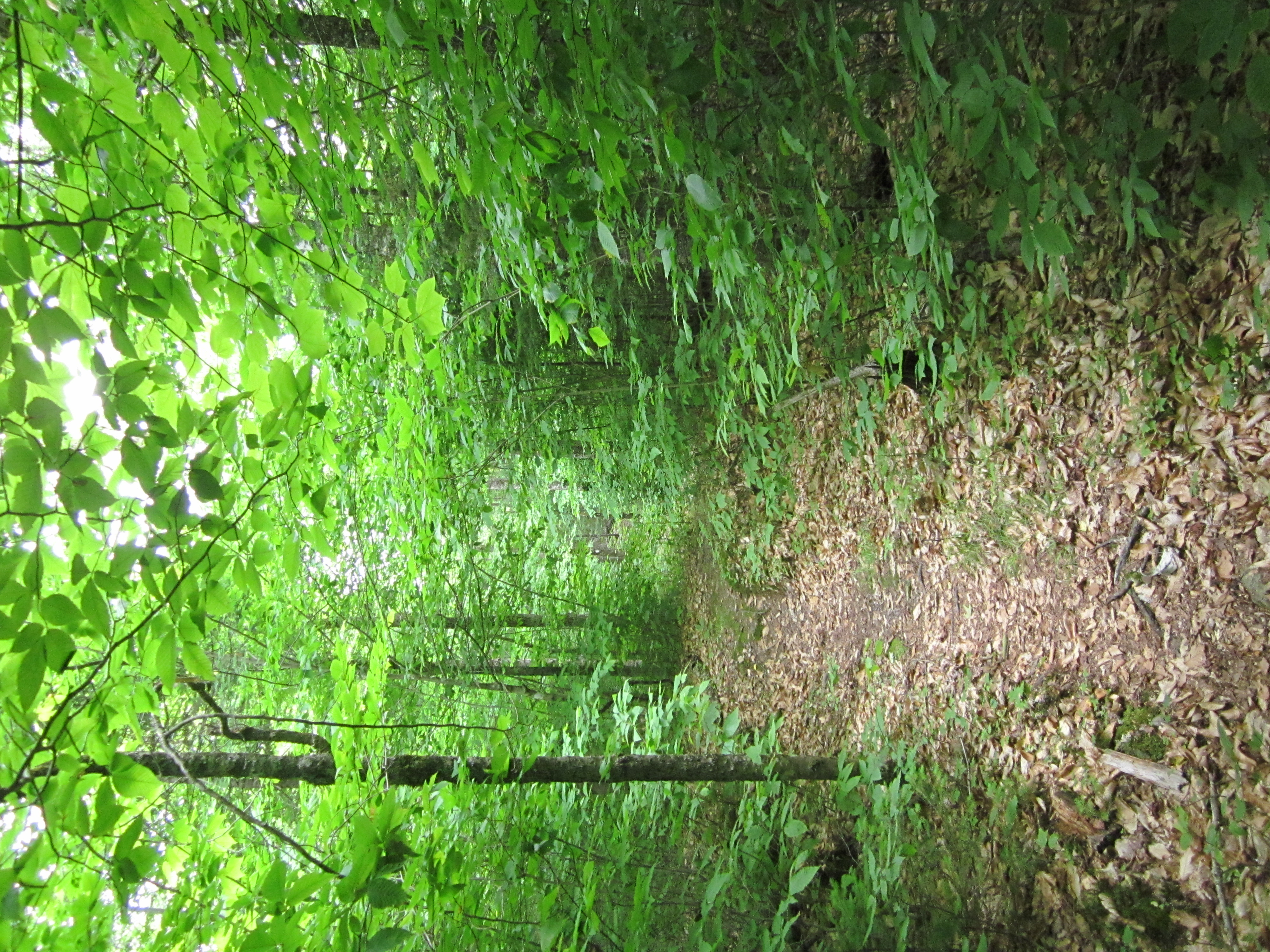
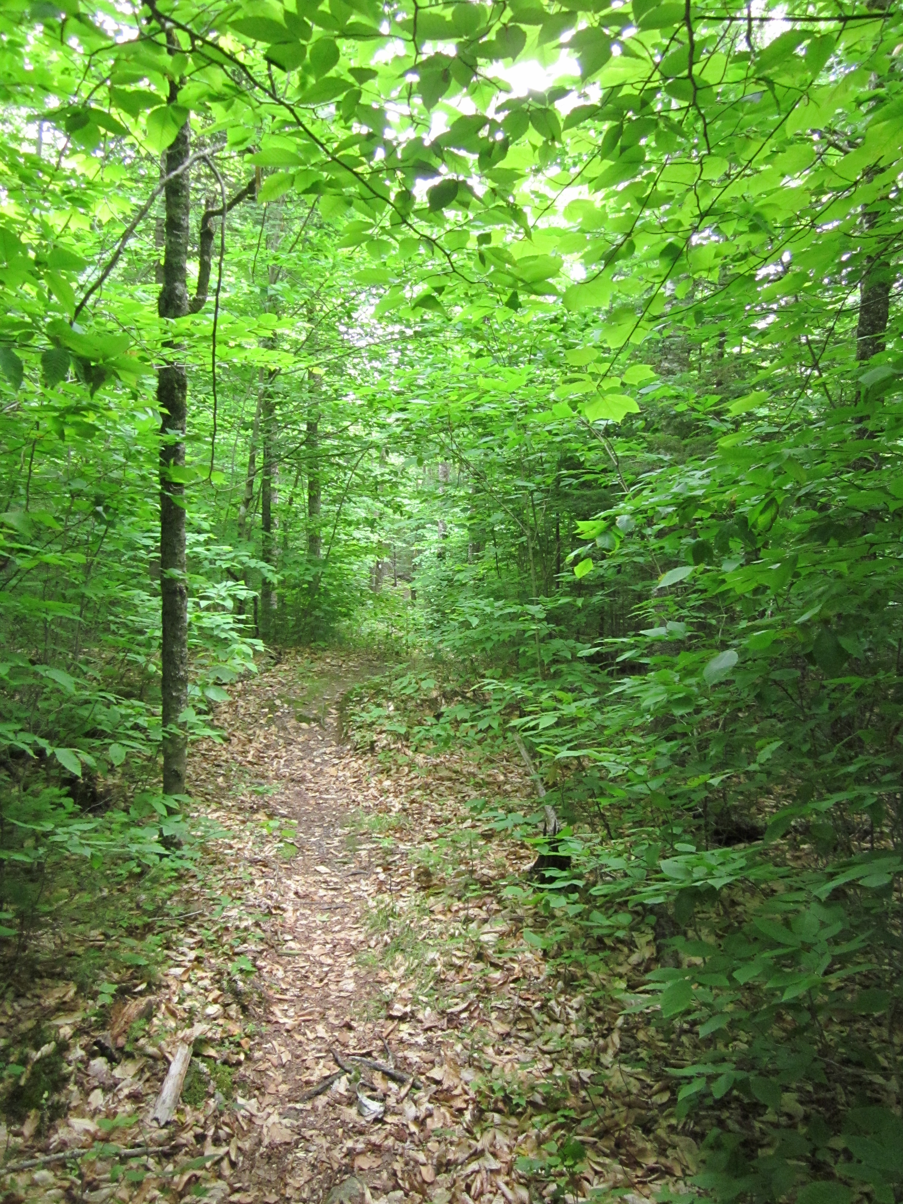
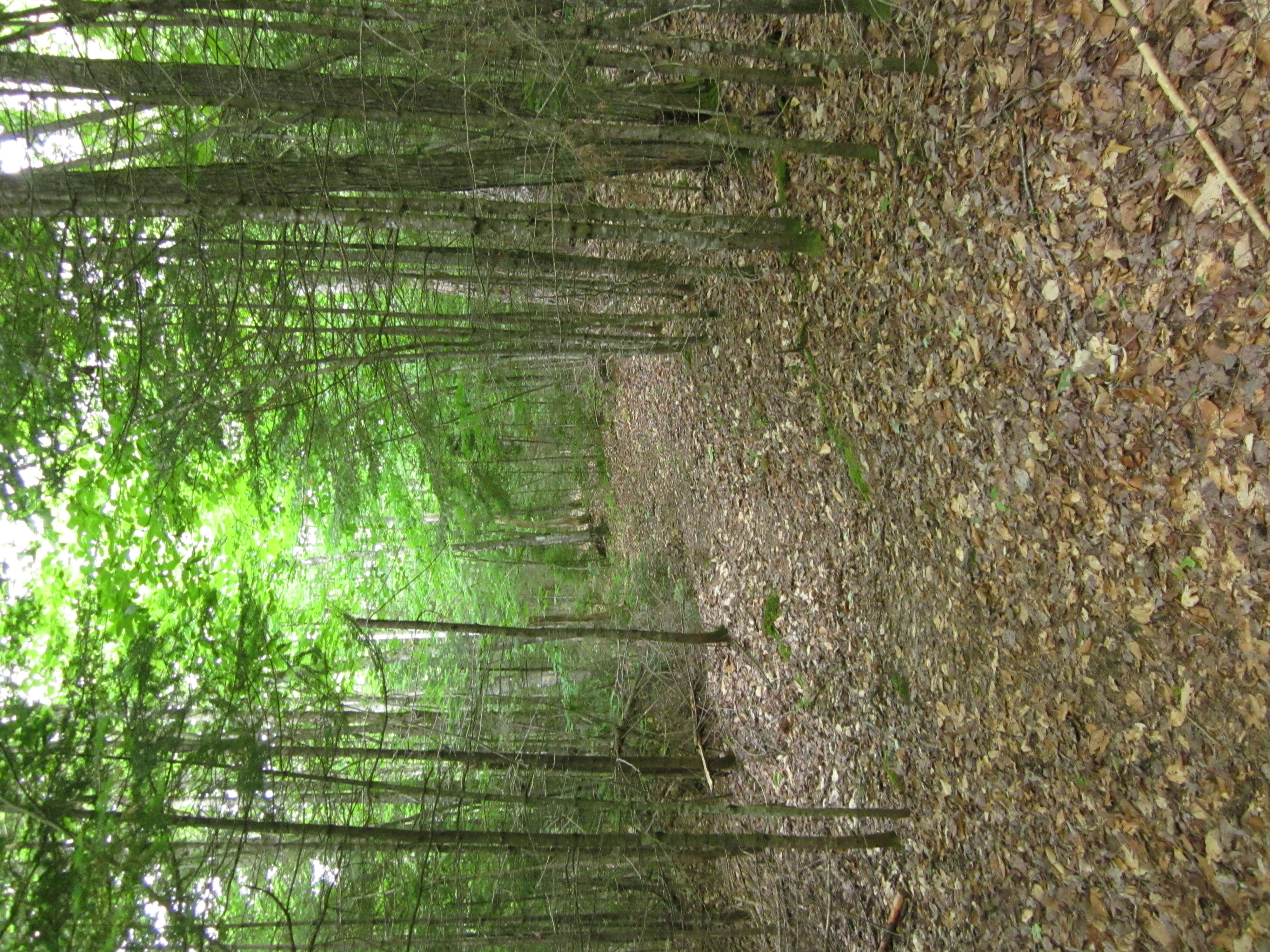
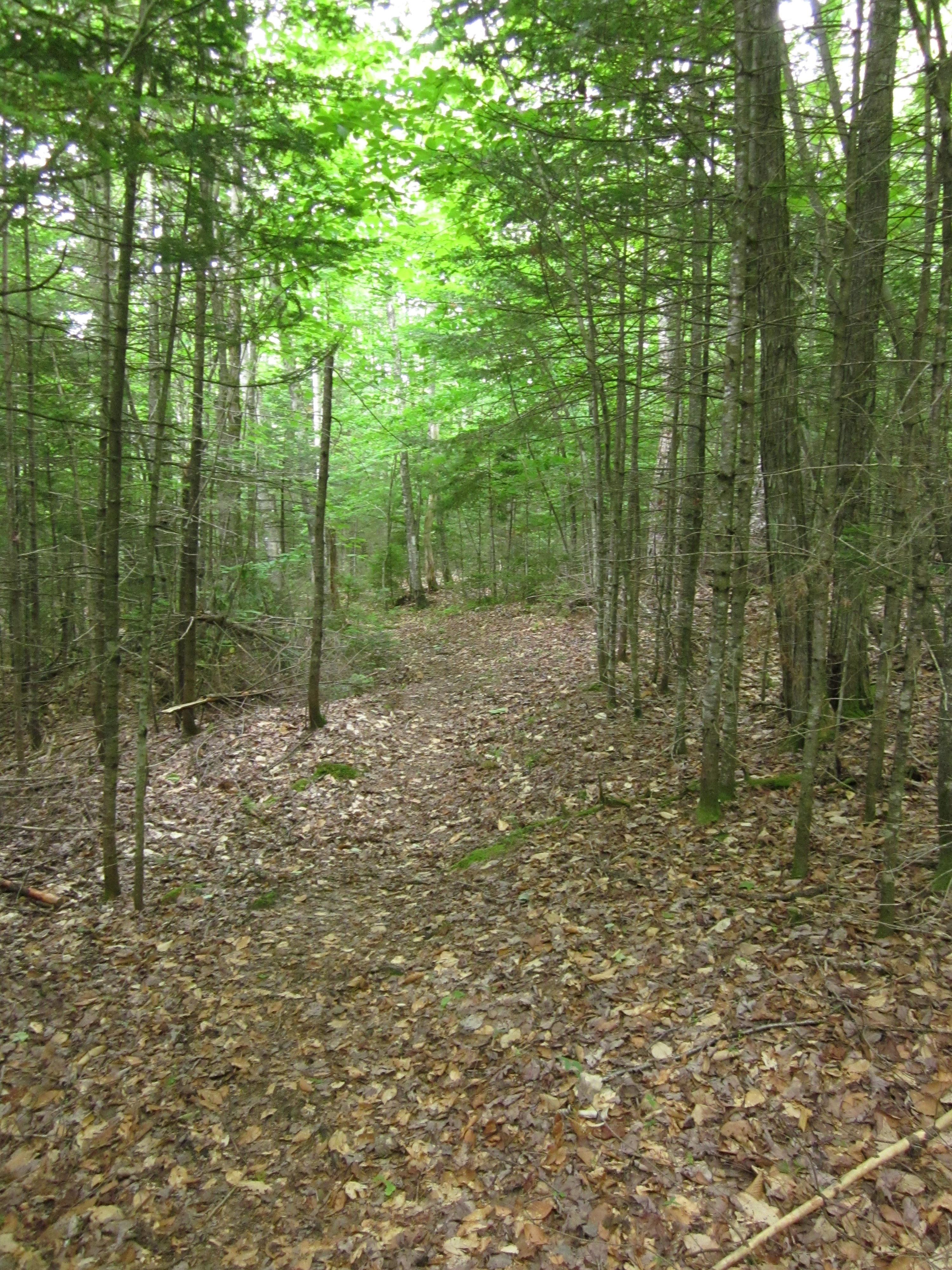
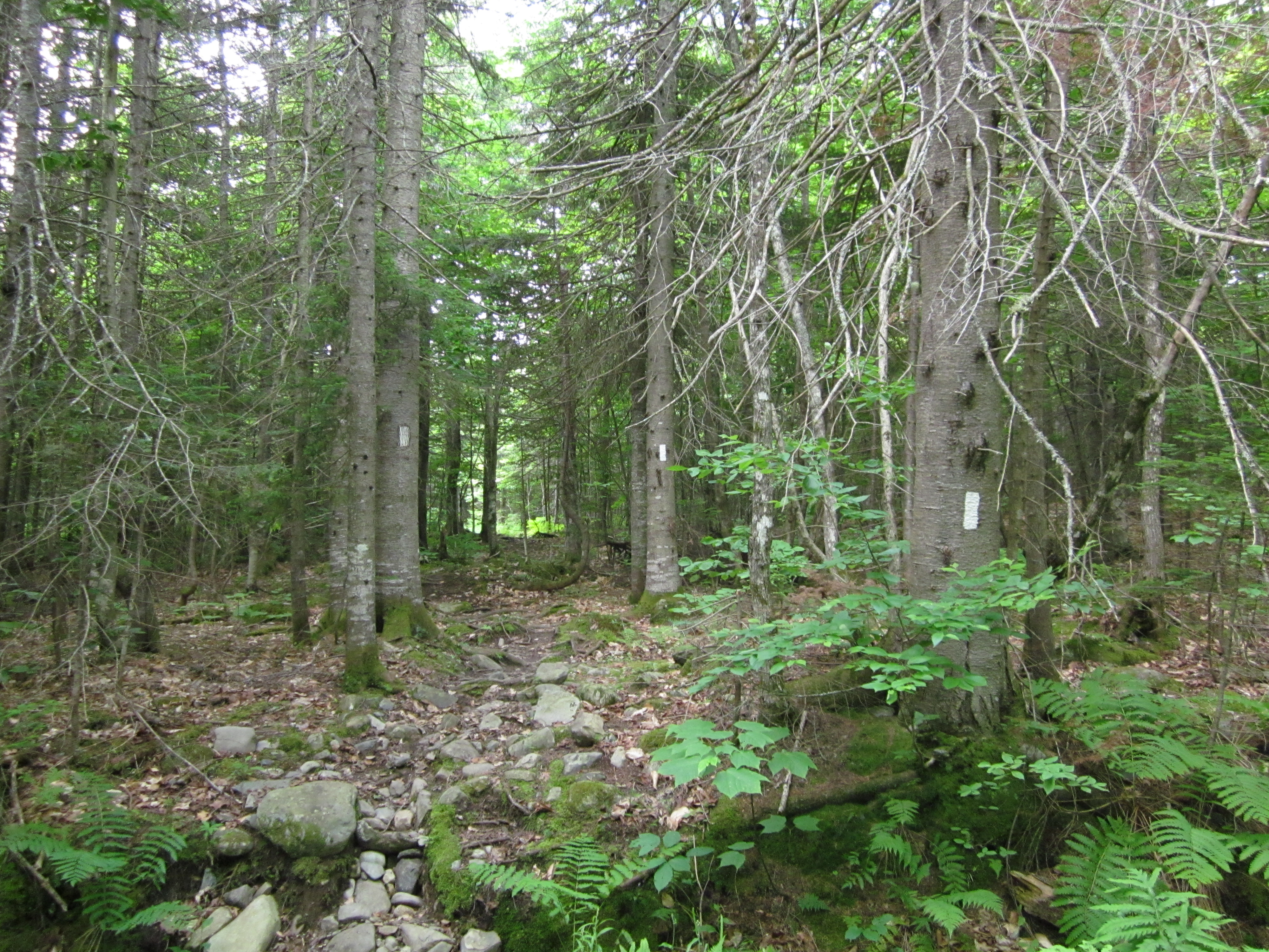
Appalachian Trail.

IMG_2108.JPG Original
1/60s f2.8 ISO160
Full size rotated image
Rotation angle: 90
Monday, July 2, 2012 6:43:47PM EDT
Tags: V
View from Appalachian Trail

IMG_2107.JPG Original
1/30s f2.8 ISO400
Monday, July 2, 2012 6:42:06PM EDT
Tags: T
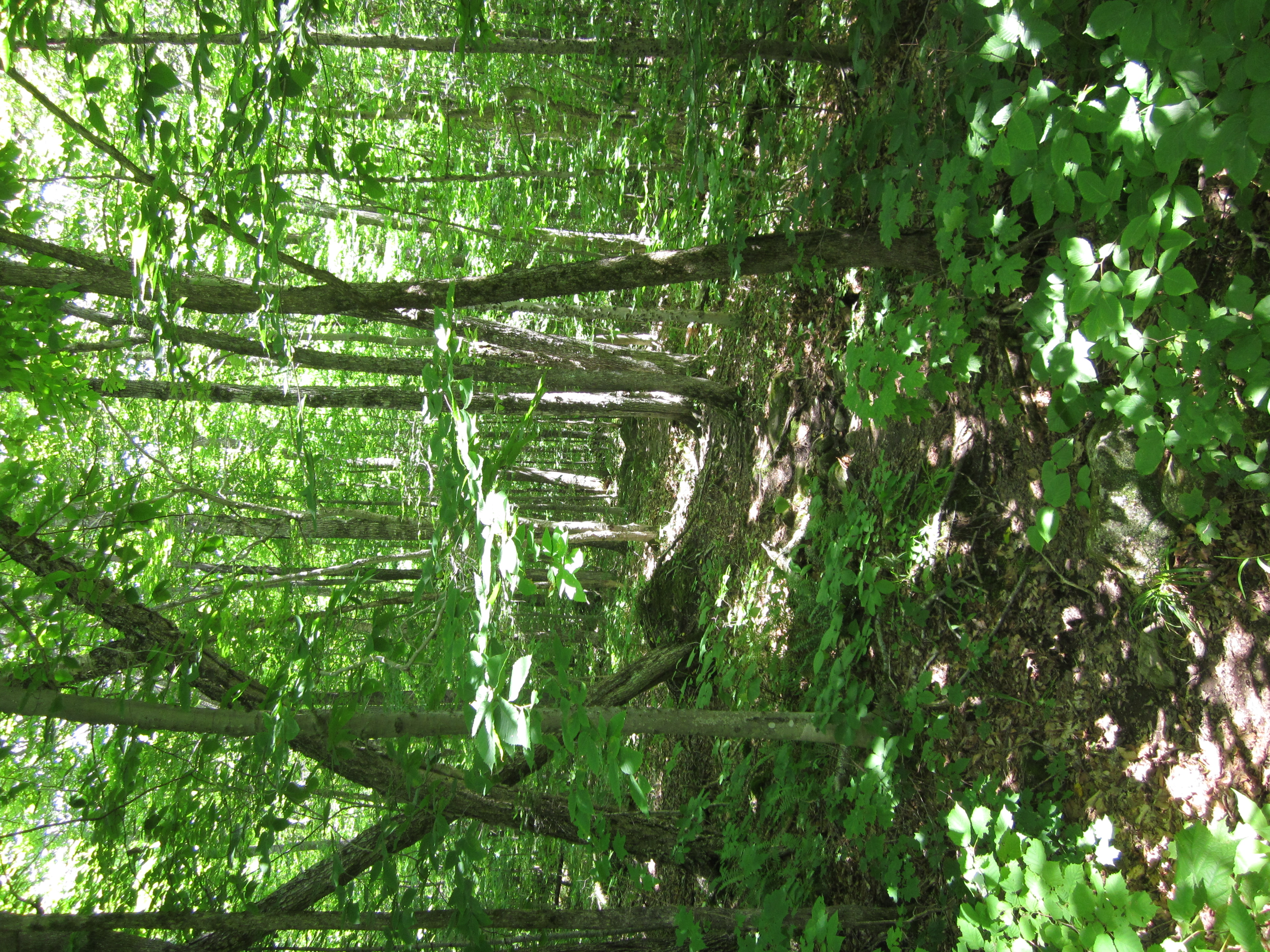
Appalachian Trail.

IMG_2106.JPG Original
1/20s f2.8 ISO640
Full size rotated image
Rotation angle: 90
Monday, July 2, 2012 6:41:44PM EDT
Tags: T
Appalachian Trail.

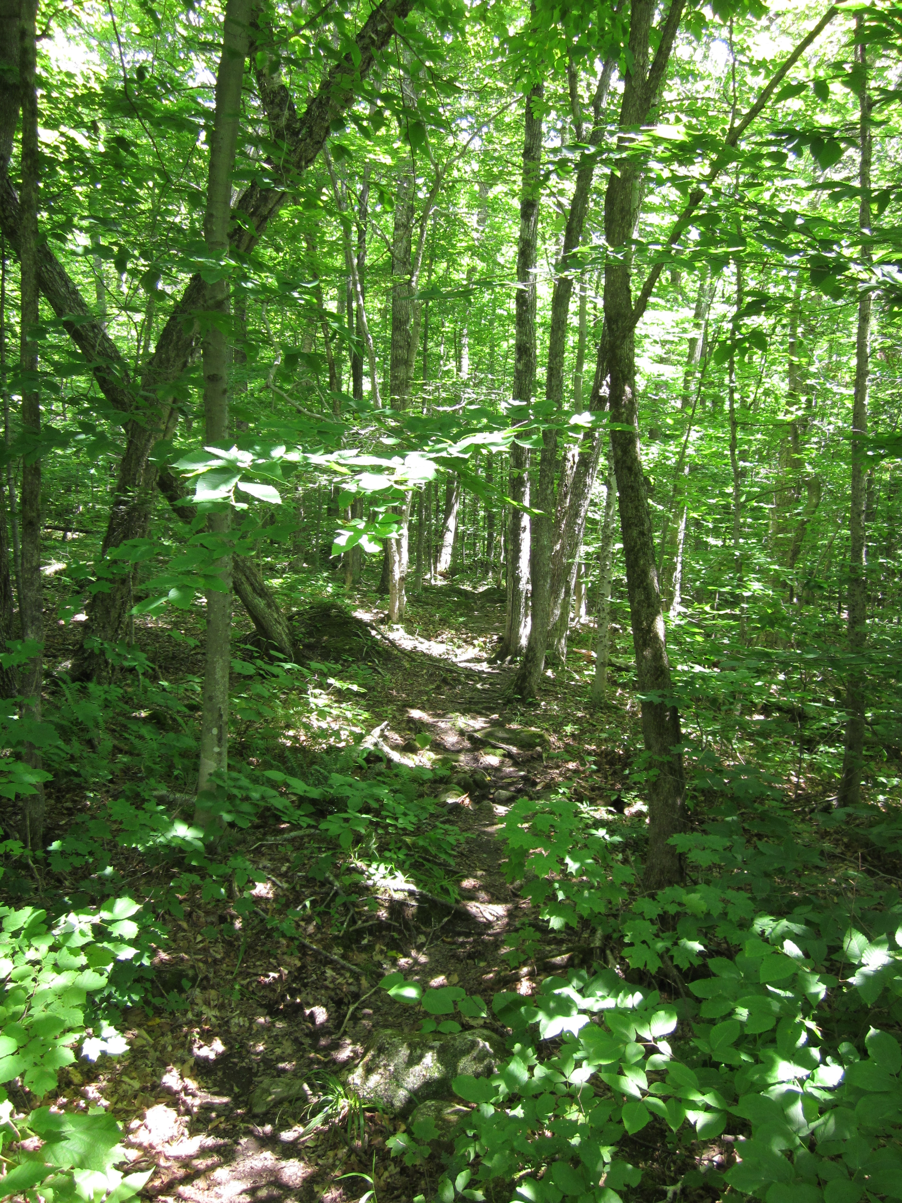
IMG_2105.JPG Original
1/30s f2.8 ISO400
Monday, July 2, 2012 6:41:34PM EDT
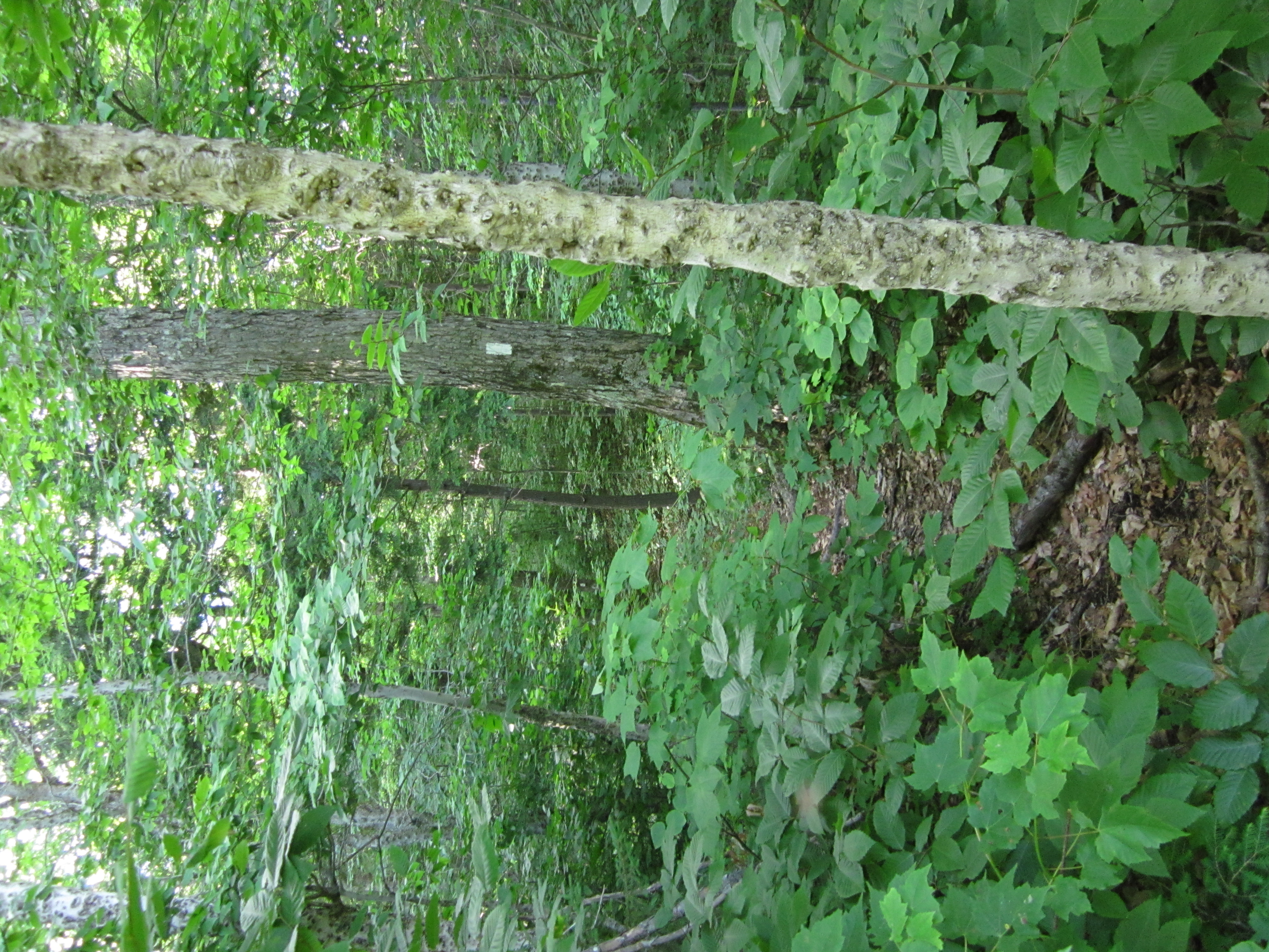
Tags: Z
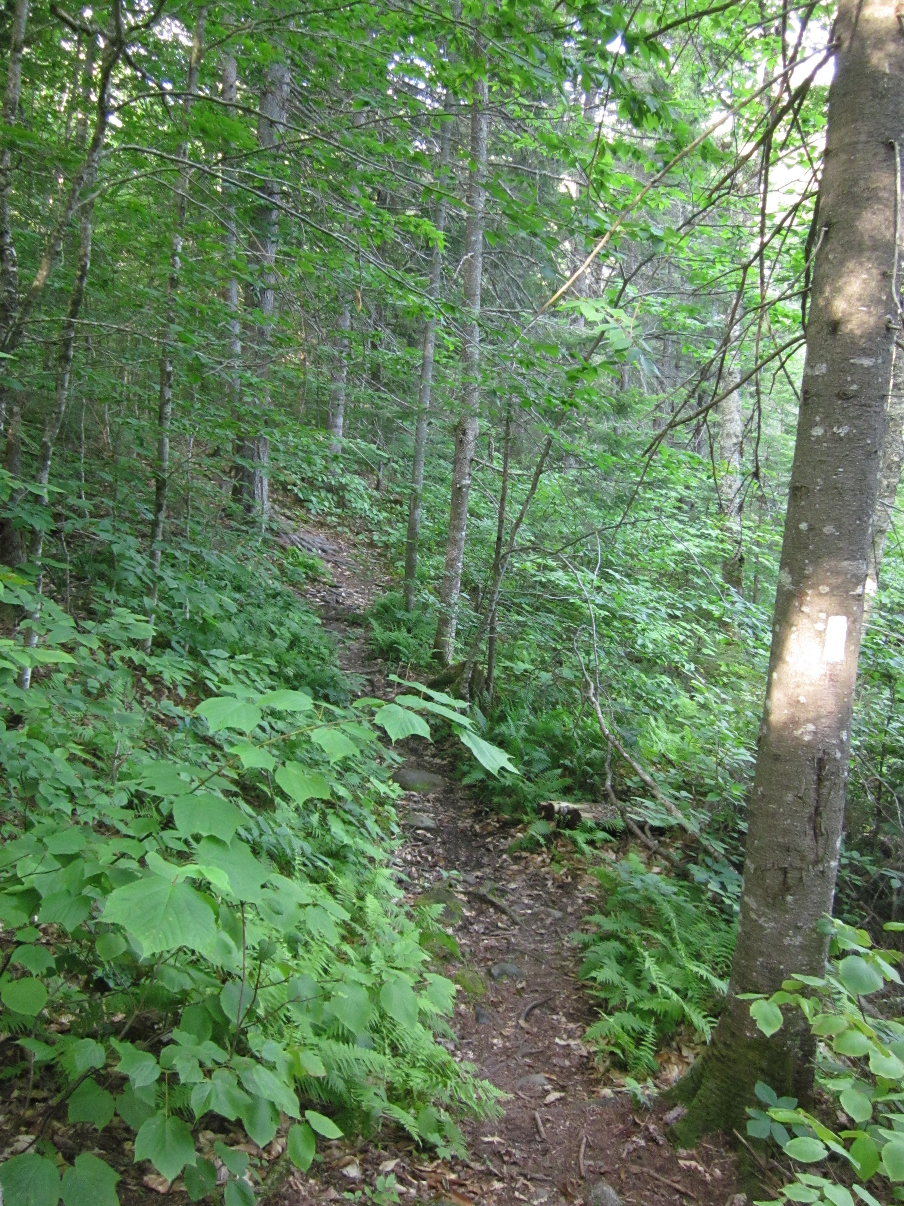
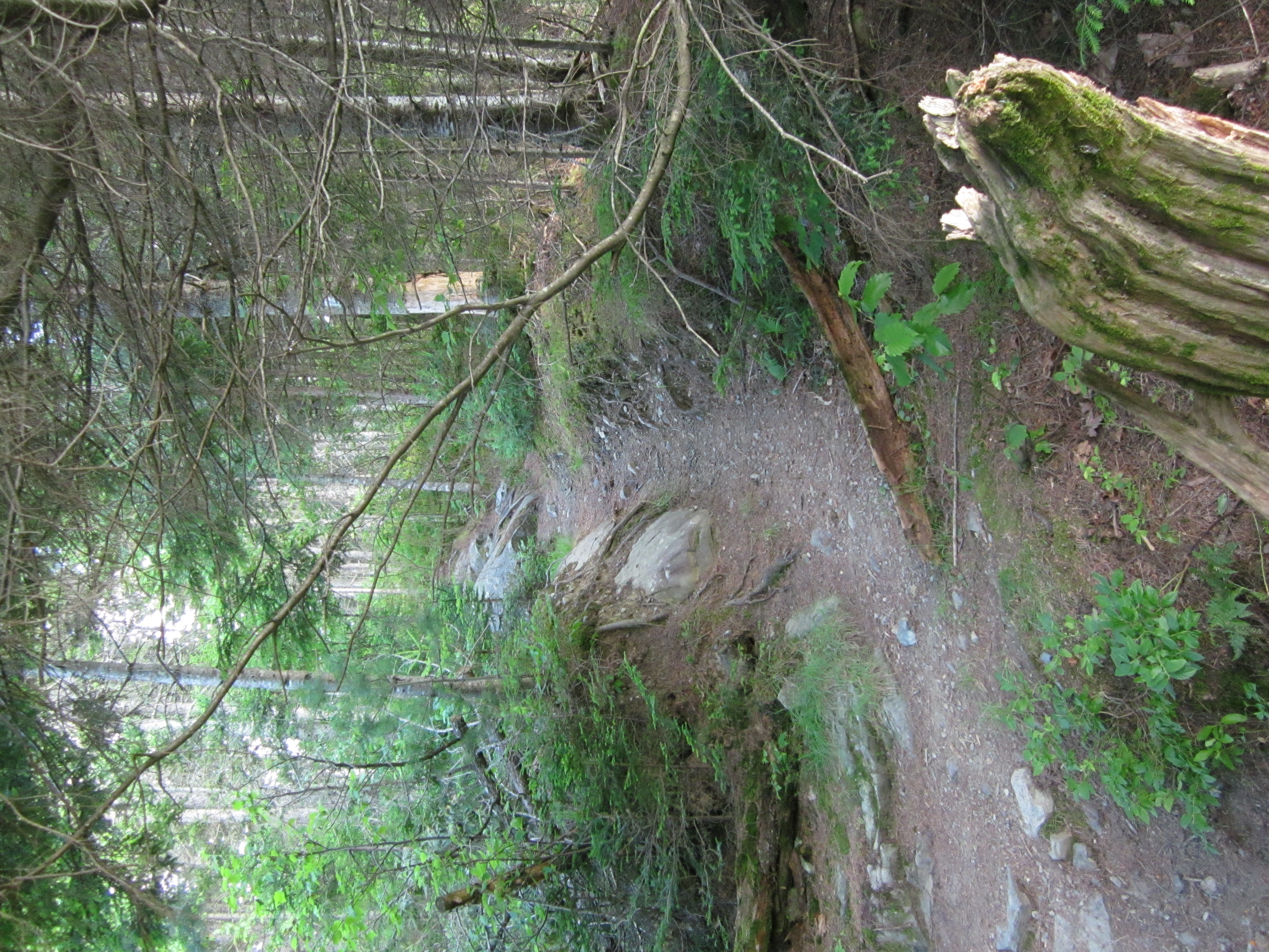
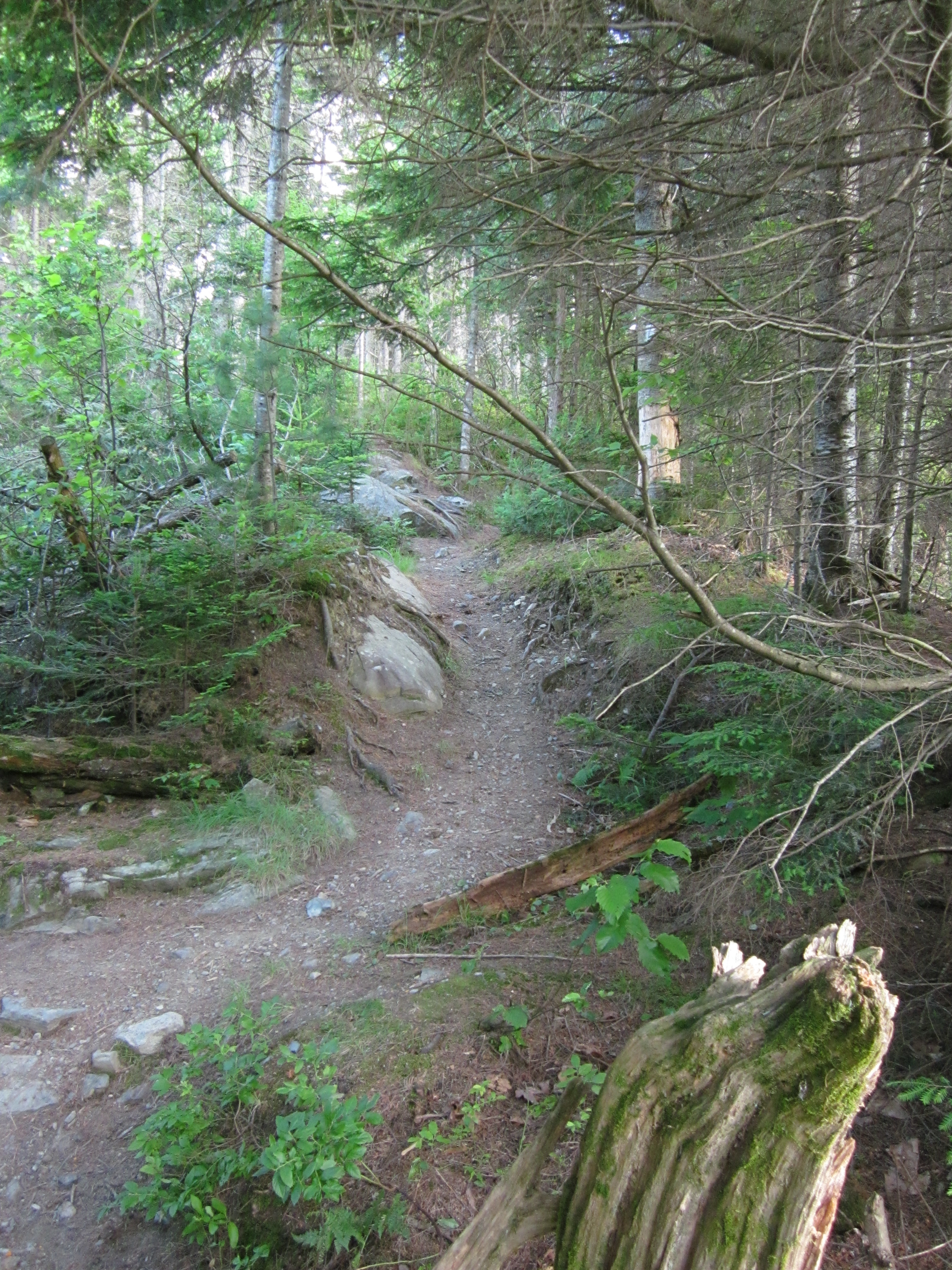
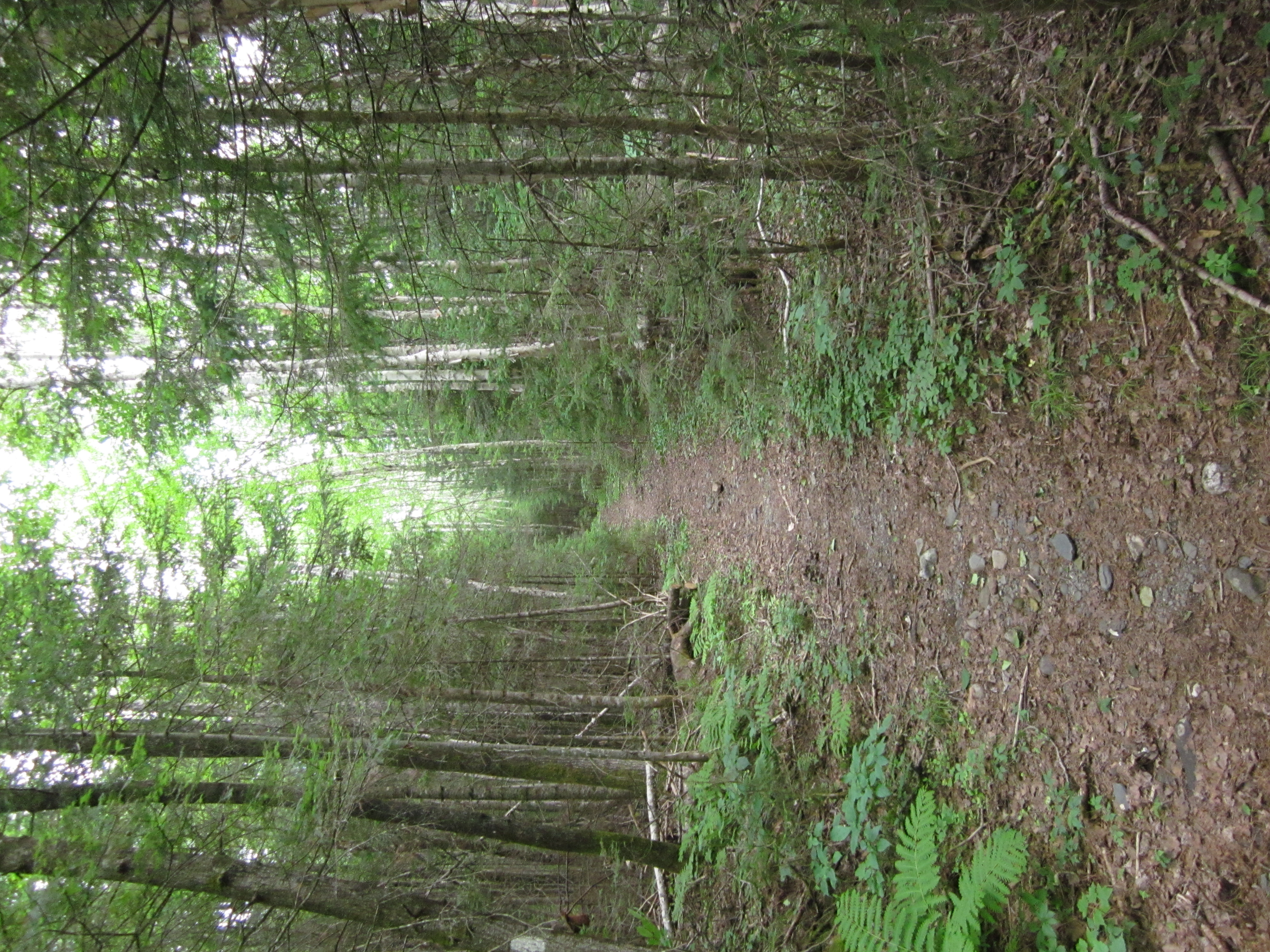
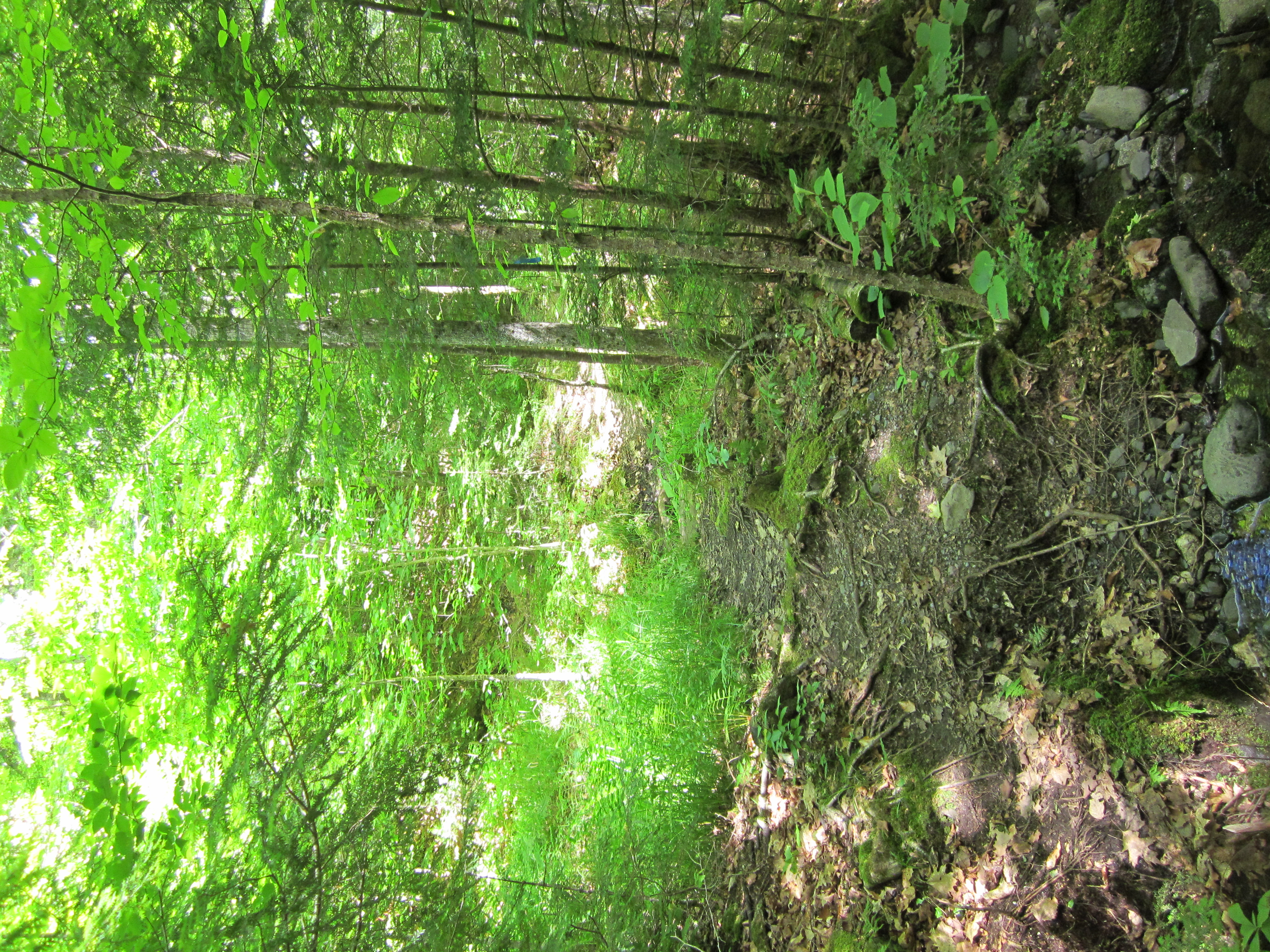
Appalachian Trail with white blaze.

IMG_2104.JPG Original
1/20s f2.8 ISO800
Monday, July 2, 2012 6:38:31PM EDT
Tags: V
View from Appalachian Trail
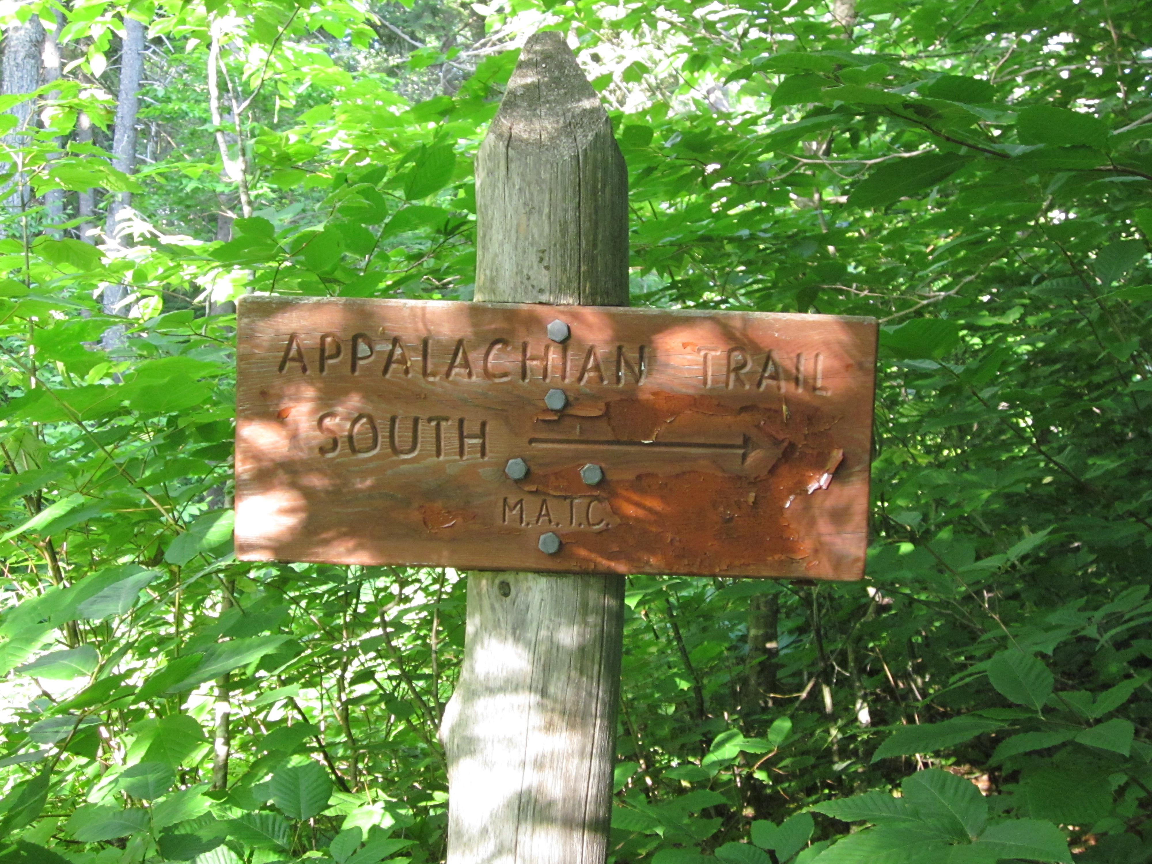
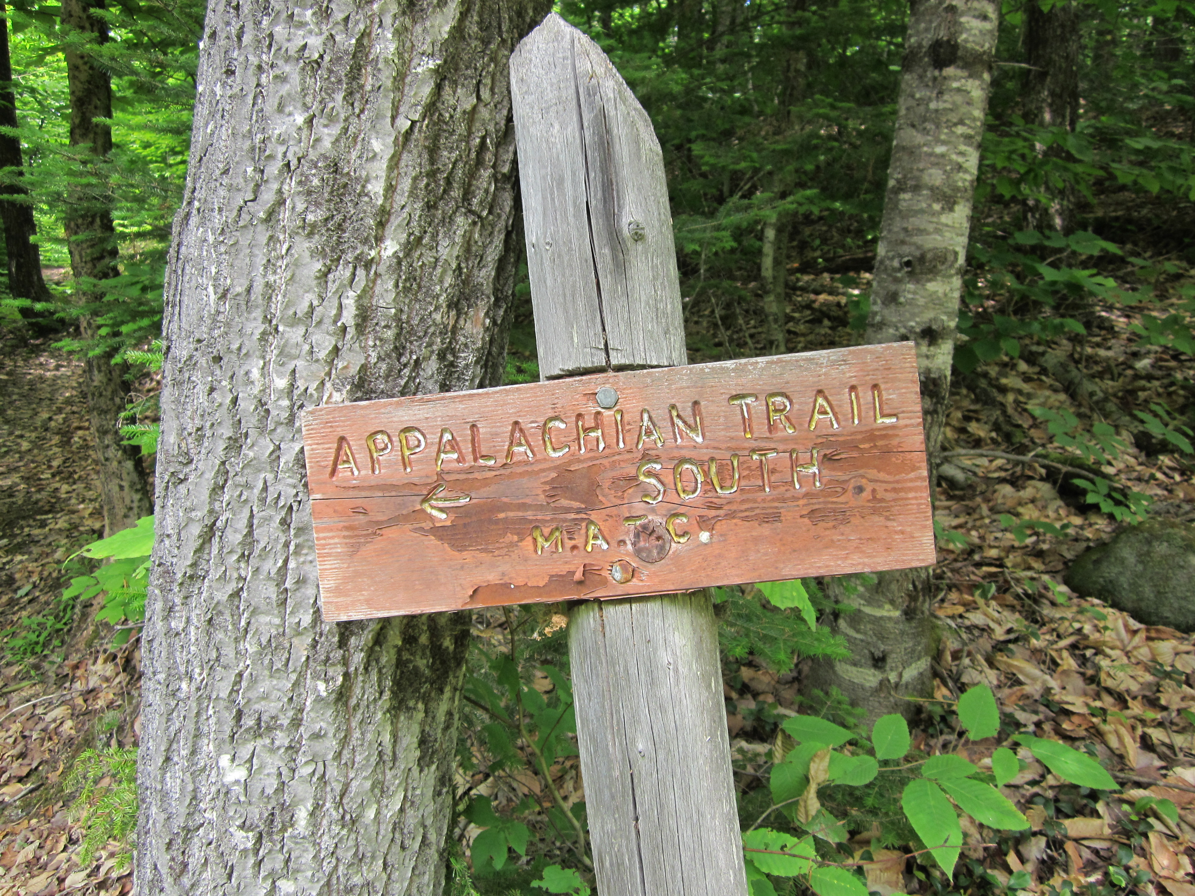
AT South

IMG_2103.JPG Original
1/50s f3.5 ISO400
Monday, July 2, 2012 6:31:10PM EDT
Tags: S
Appalachian Trail sign.

IMG_2102.JPG Original
1/30s f2.8 ISO400
Full size rotated image
Rotation angle: 90
Monday, July 2, 2012 6:30:55PM EDT
Tags: Z
Appalachian Trail with white blaze.
Very old logging road, unused.

IMG_2101.JPG Original
1/400s f2.8 ISO160
Full size rotated image
Rotation angle: 90
Monday, July 2, 2012 6:30:49PM EDT
Tags: O
Dirt, gravel, or logging road crossing the Appalachian Trail.

IMG_2100.JPG Original
1/30s f2.8 ISO400
Full size rotated image
Rotation angle: 90
Monday, July 2, 2012 6:27:03PM EDT
Tags: T
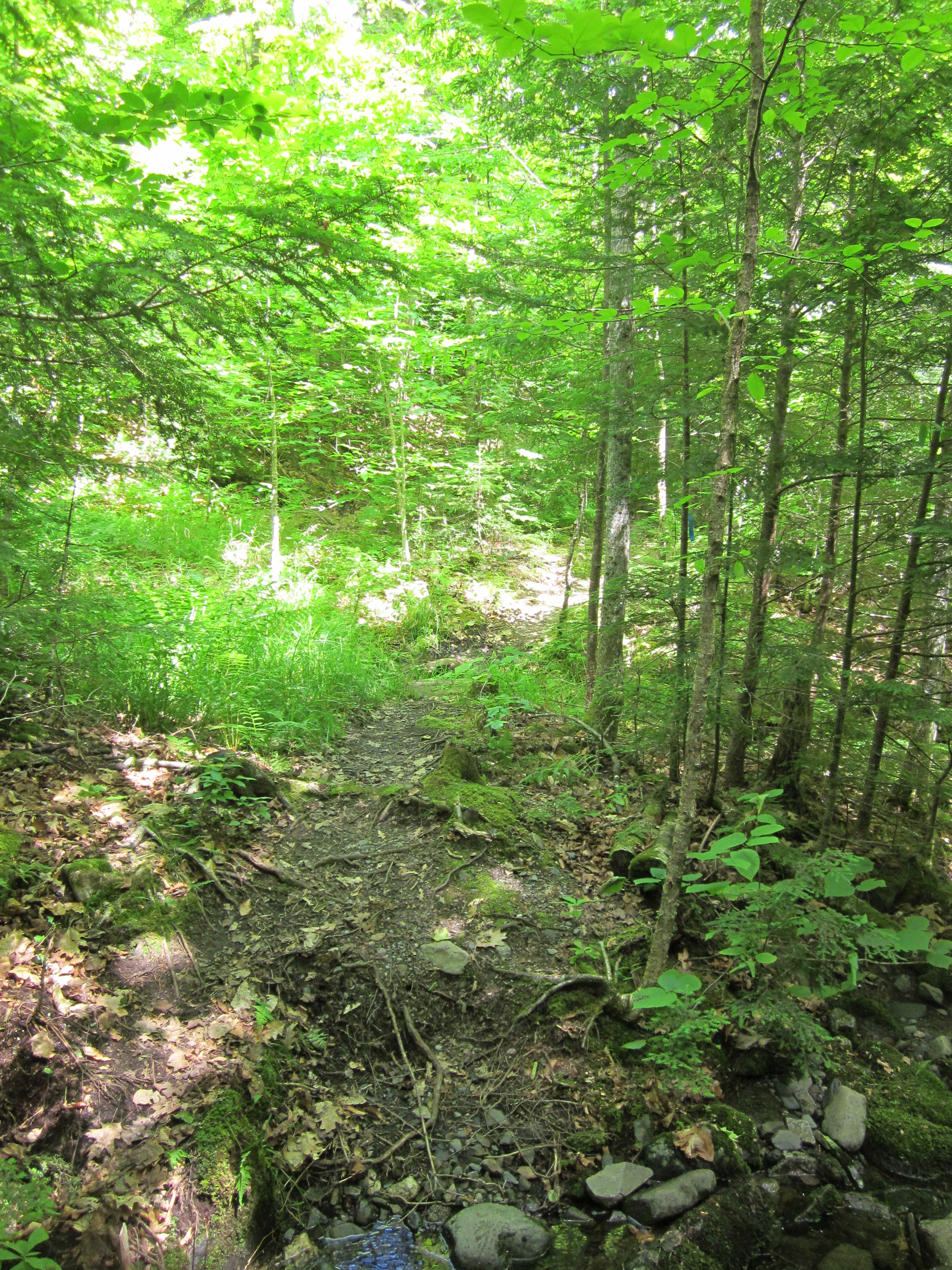
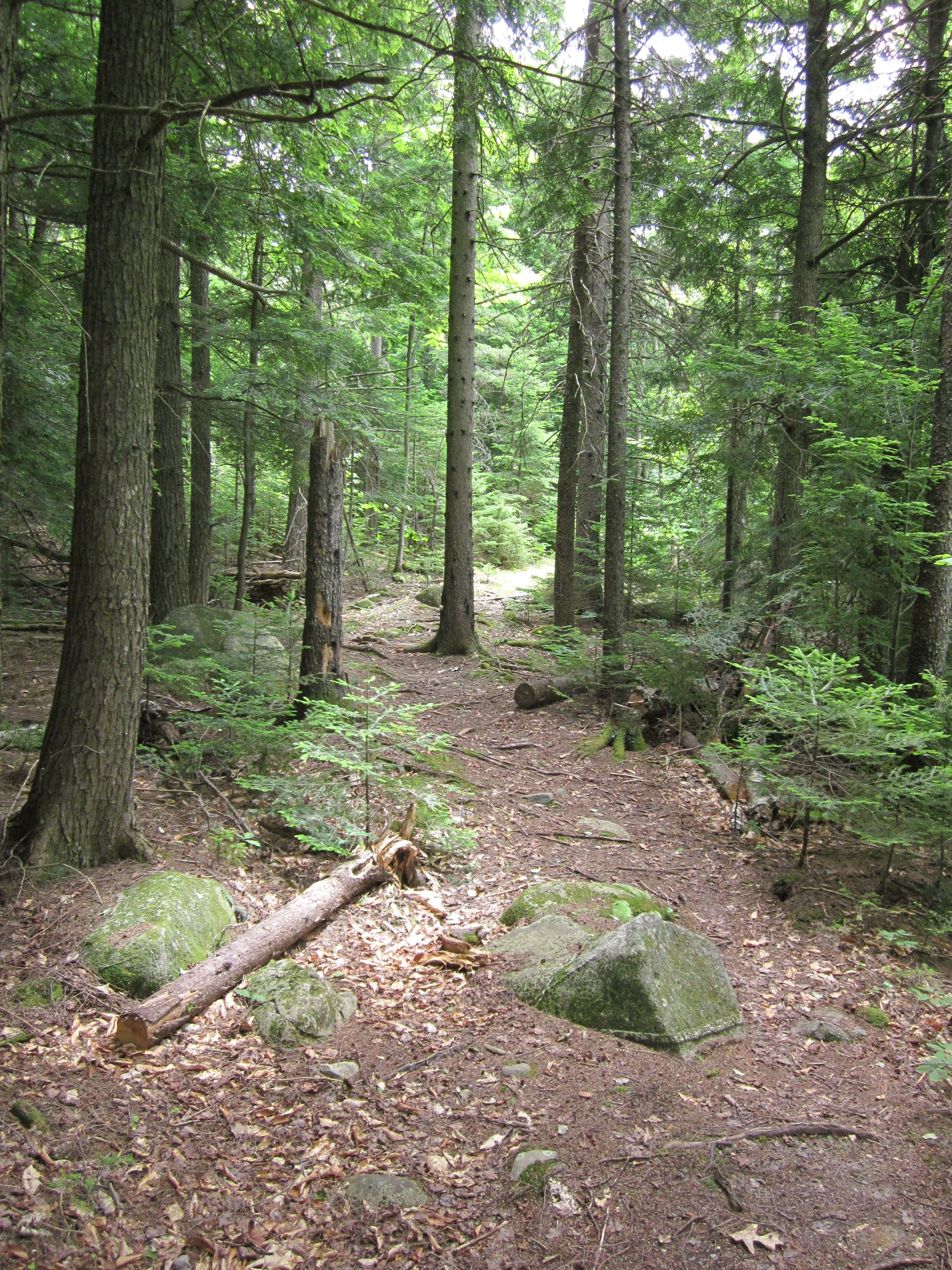
Appalachian Trail.

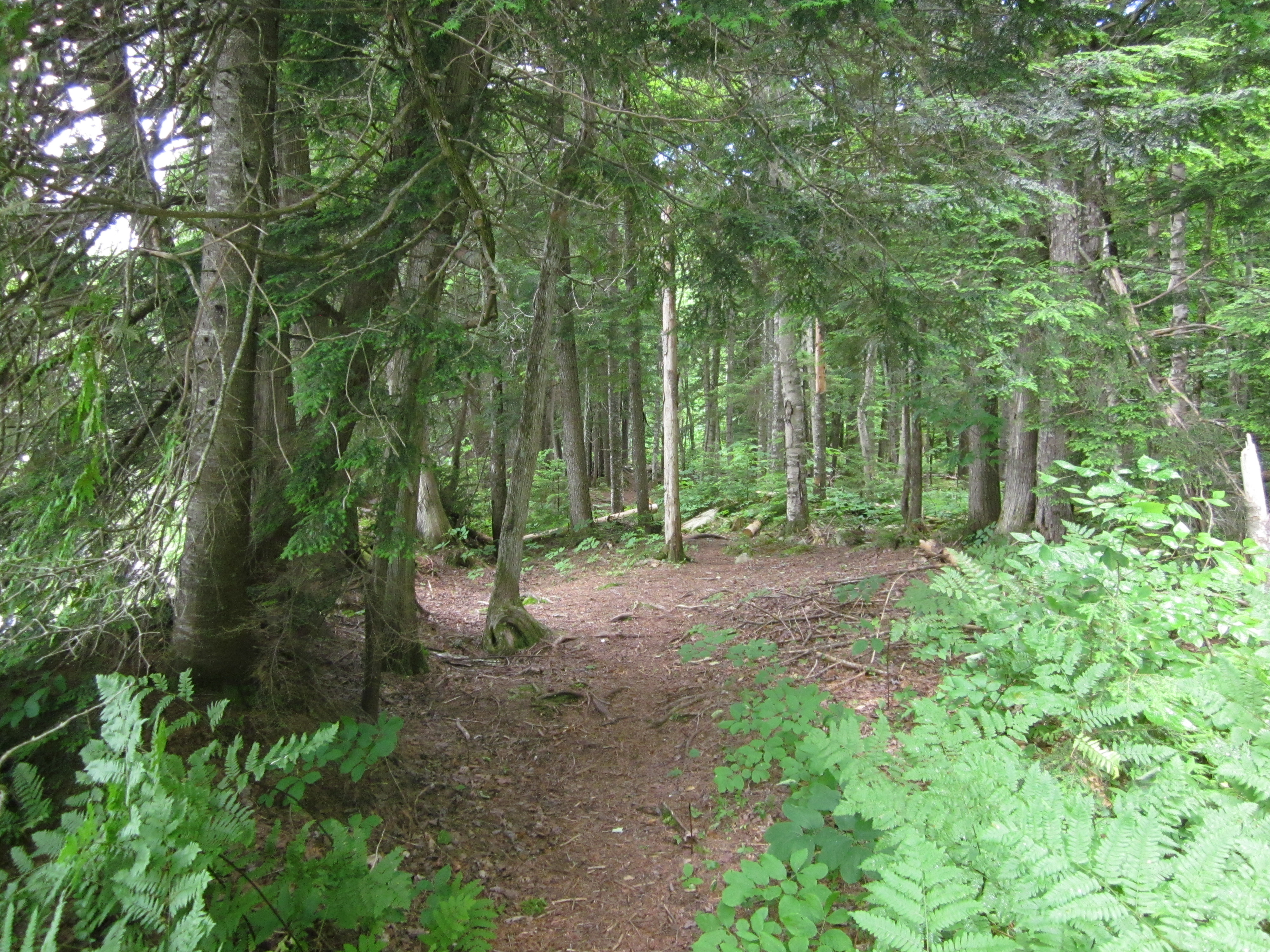
IMG_2099.JPG Original
1/60s f2.8 ISO160
Monday, July 2, 2012 6:26:55PM EDT
Tags: ZV
View from Appalachian Trail
Appalachian Trail with white blaze.

IMG_2098.JPG Original
1/30s f2.8 ISO400
Full size rotated image
Rotation angle: 90
Monday, July 2, 2012 6:18:54PM EDT
Tags: T
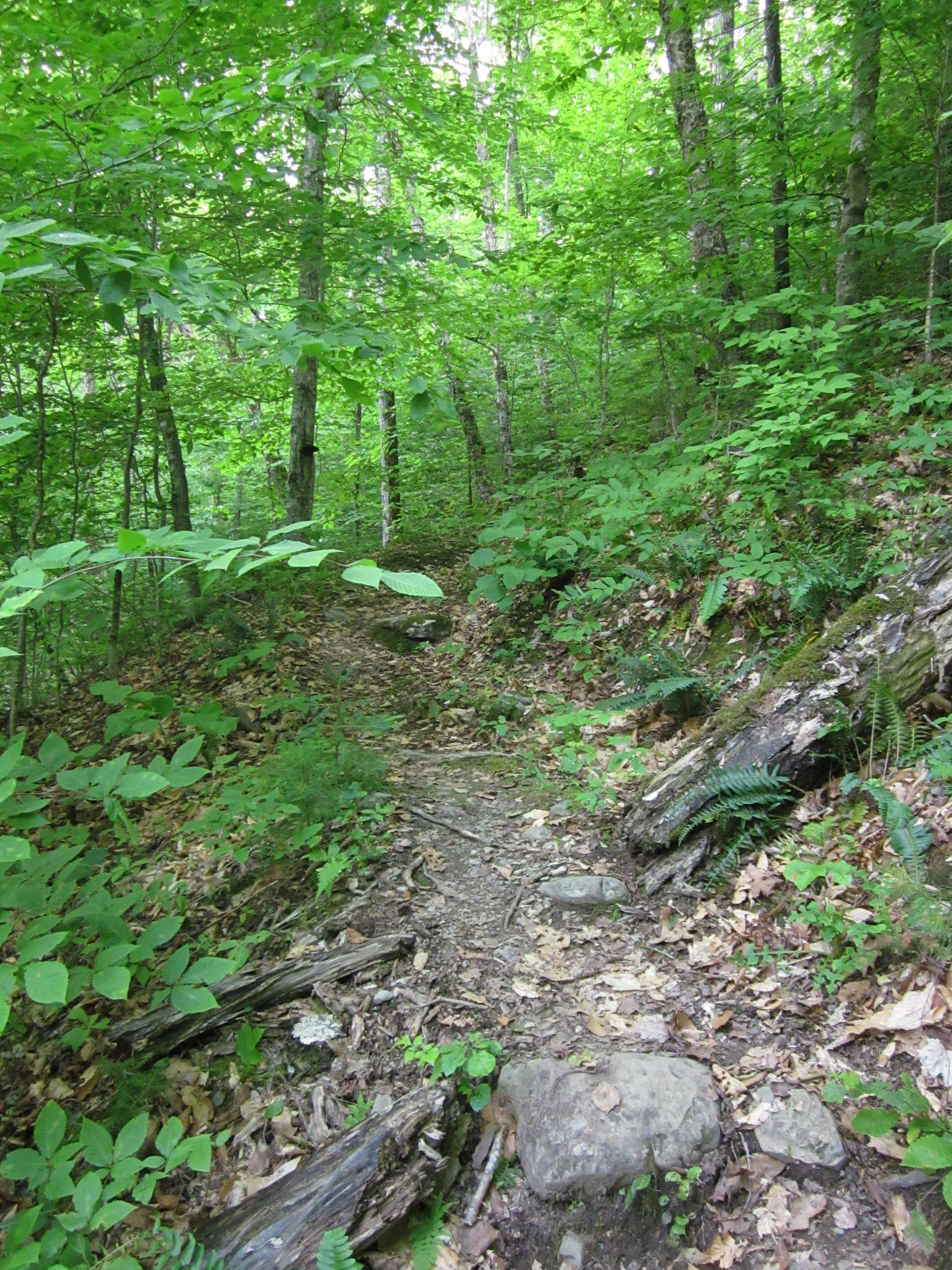
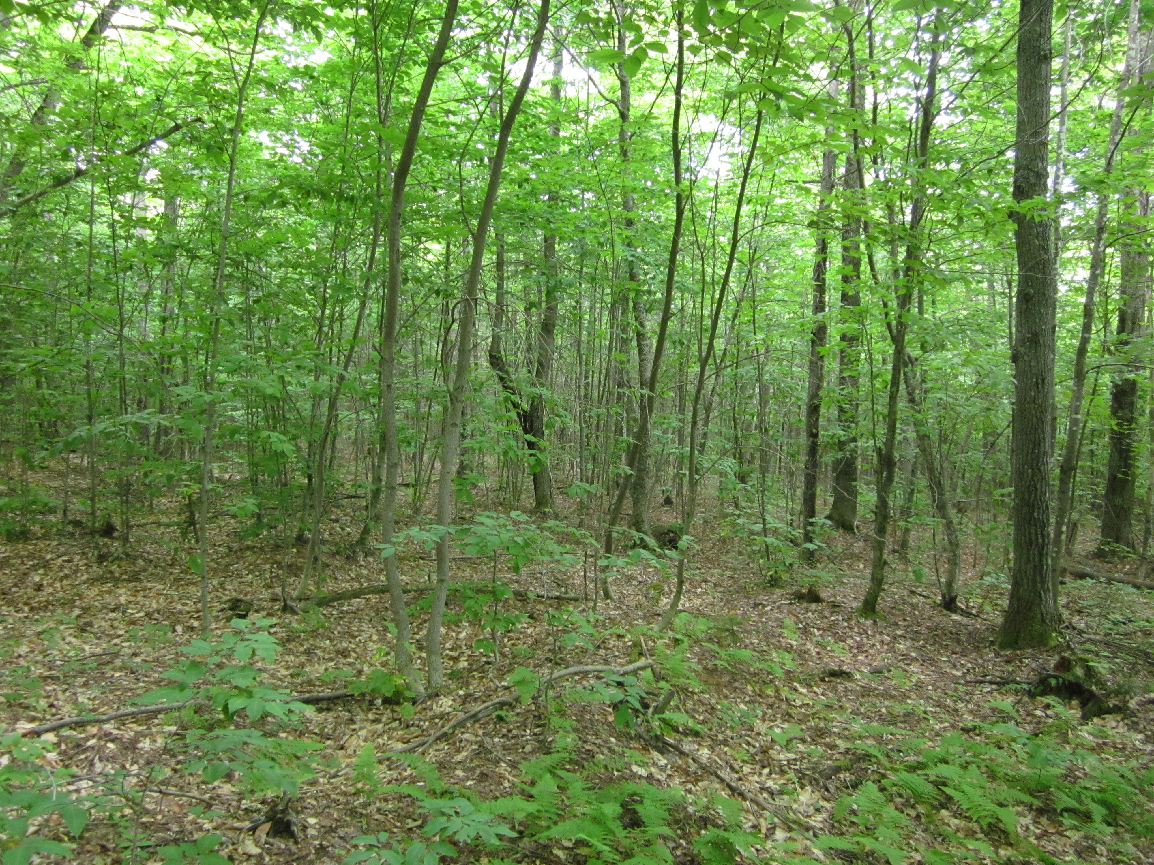
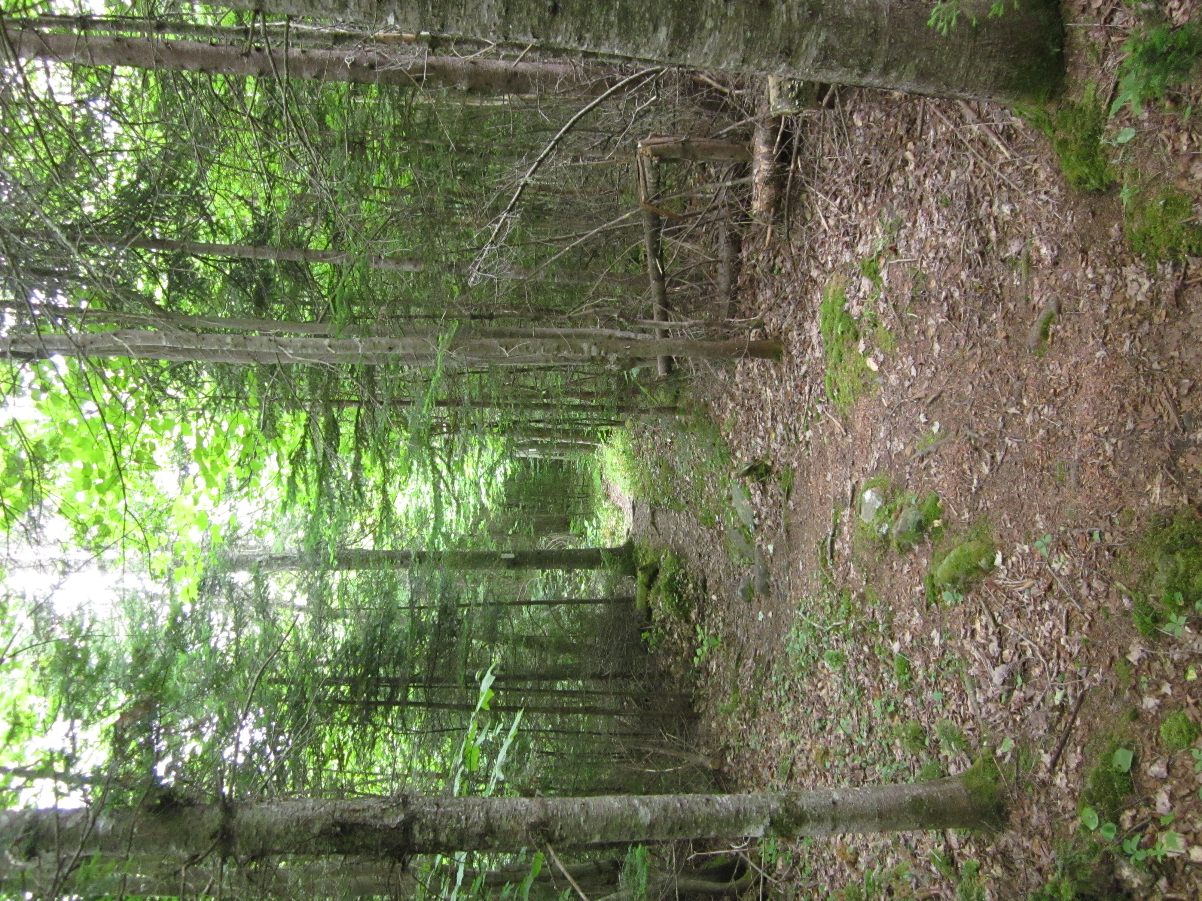
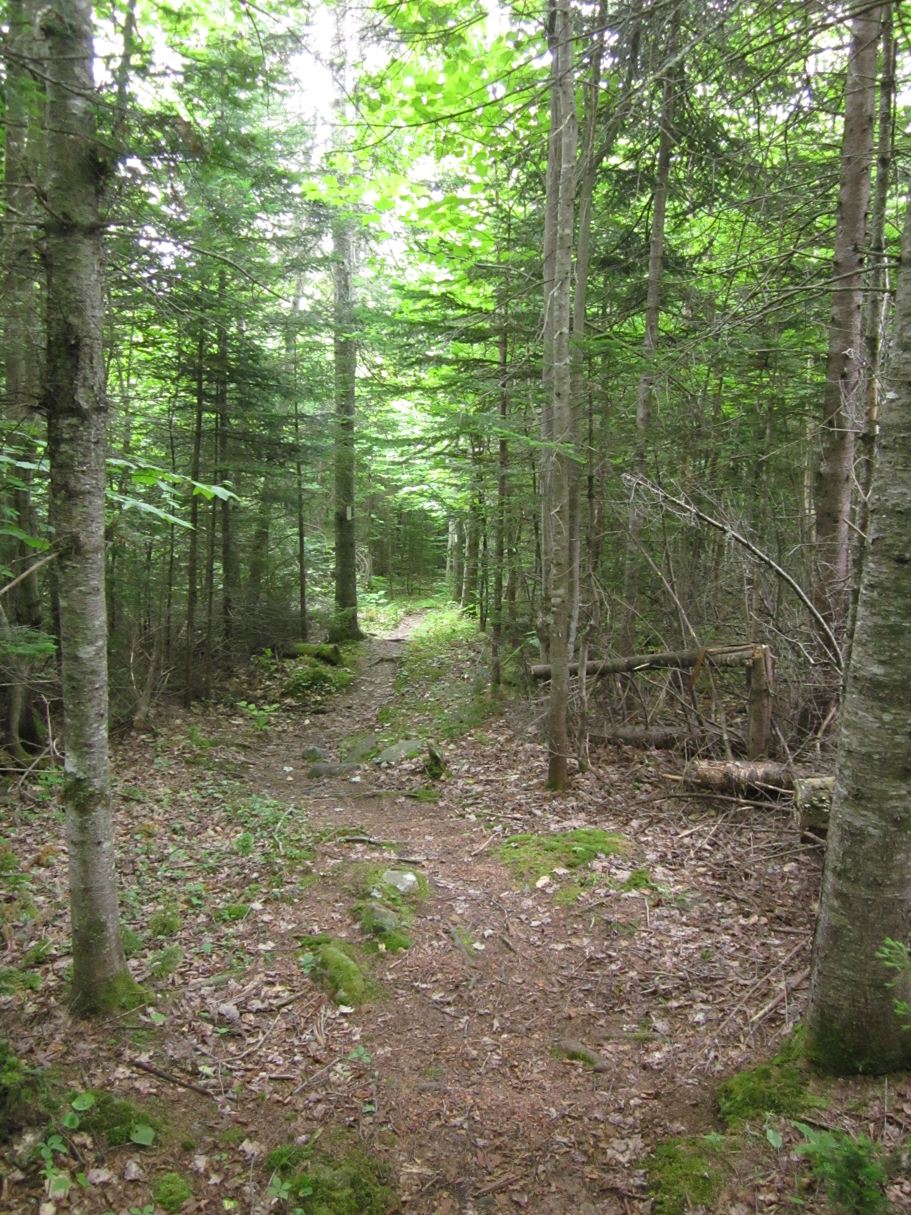
Appalachian Trail.
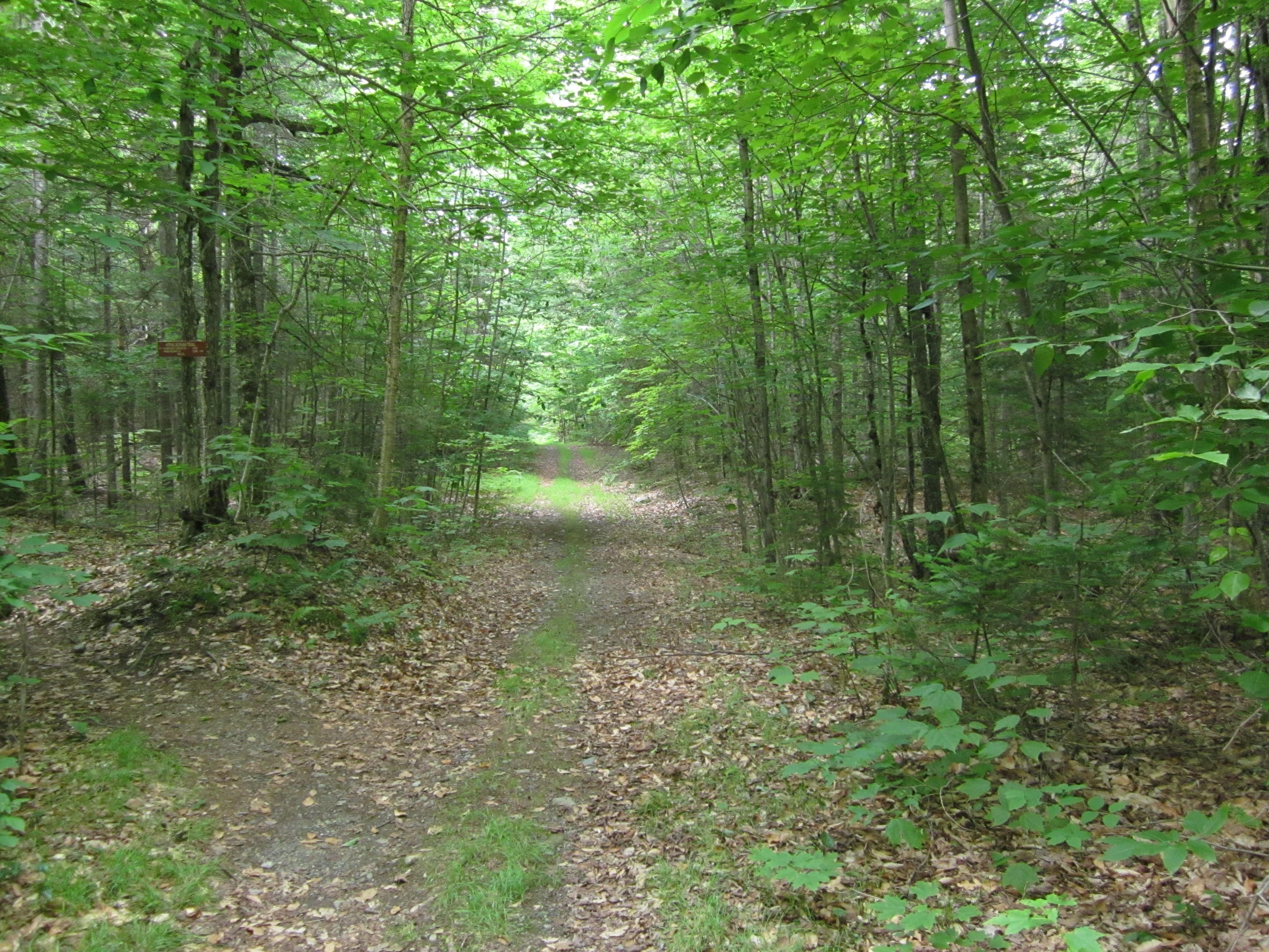
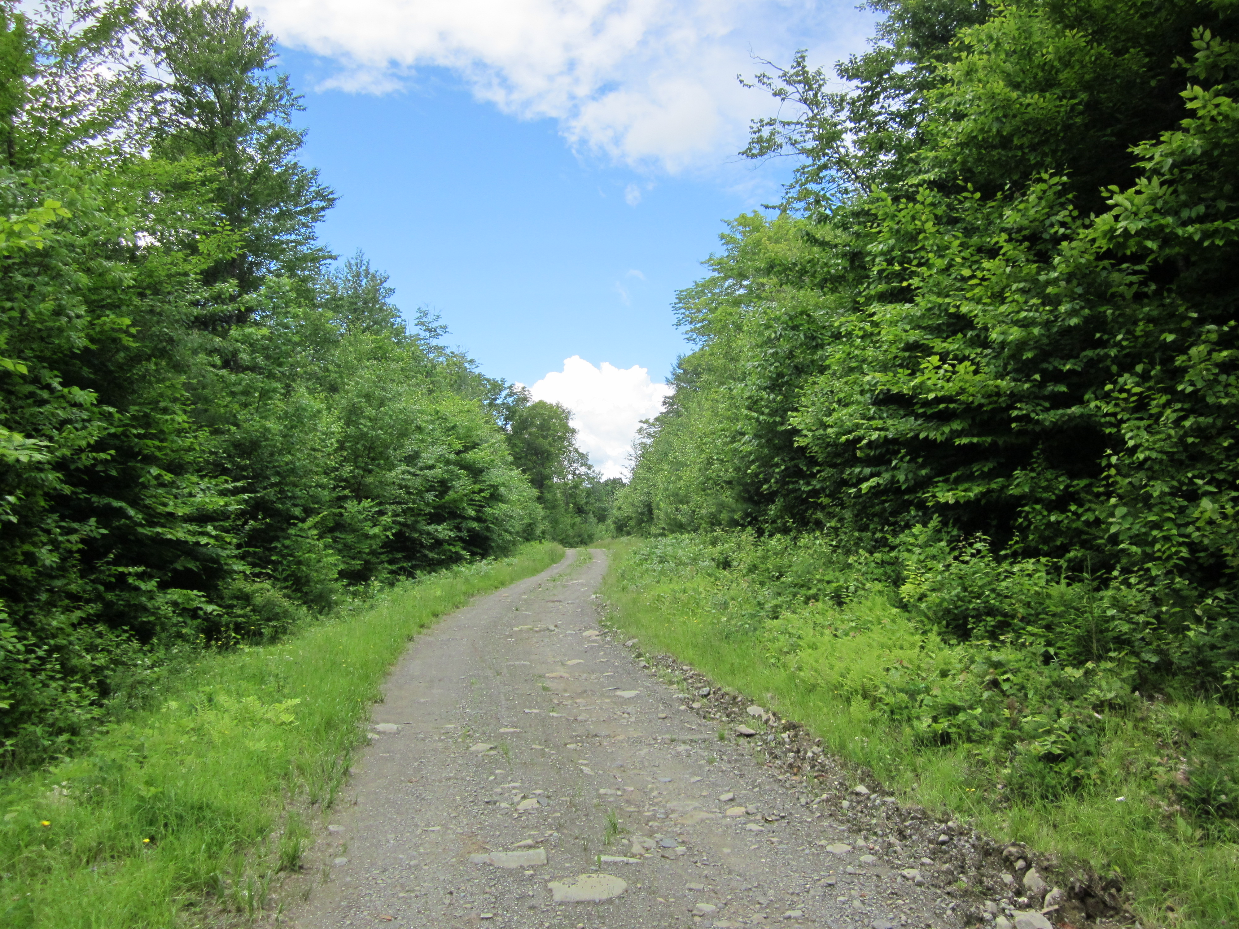
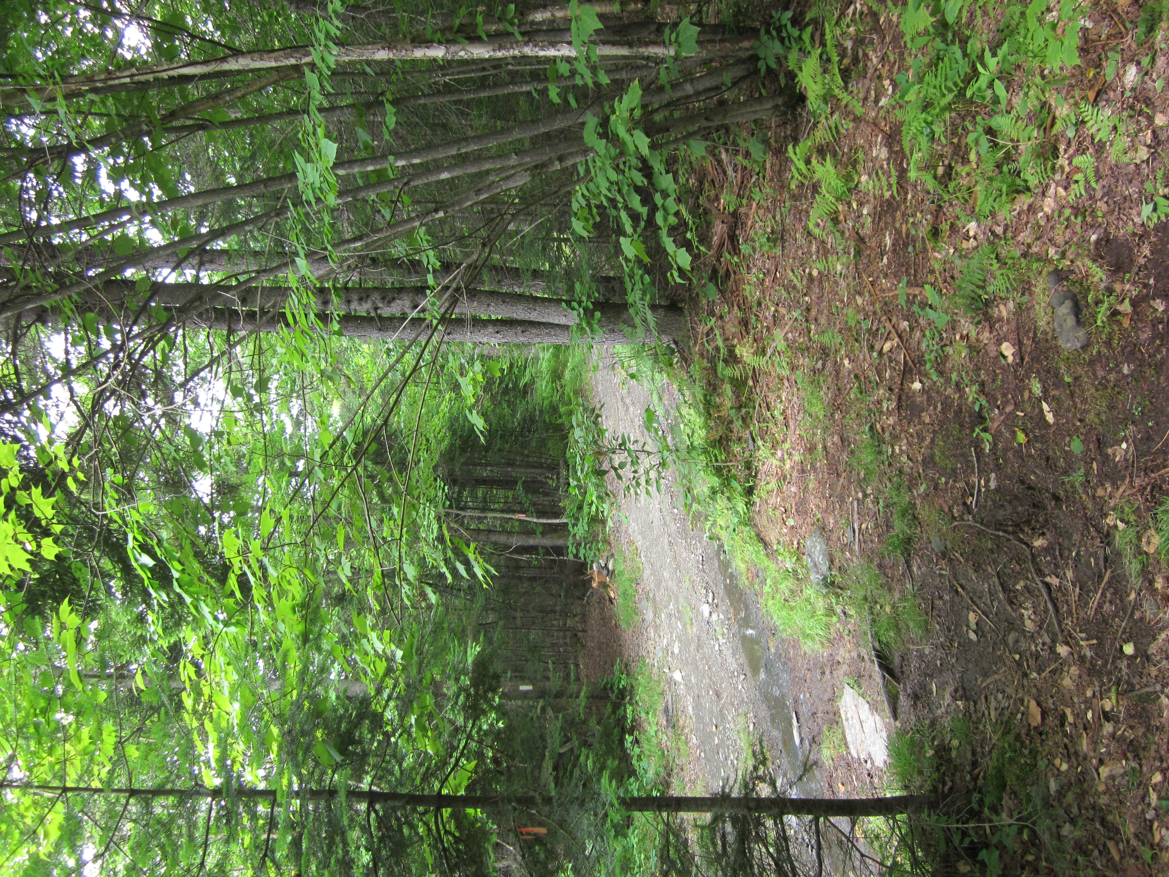
Logging road toward Shirley Road

IMG_2097.JPG Original
1/30s f2.8 ISO400
Monday, July 2, 2012 6:18:23PM EDT
Tags: SO
Dirt, gravel, or logging road crossing the Appalachian Trail.
Appalachian Trail sign.

IMG_2096.JPG Original
1/40s f2.8 ISO400
Monday, July 2, 2012 6:17:11PM EDT
Tags: V
View from Appalachian Trail

IMG_2095.JPG Original
1/20s f2.8 ISO400
Full size rotated image
Rotation angle: 90
Monday, July 2, 2012 6:17:01PM EDT
Tags: T
Appalachian Trail.

IMG_2094.JPG Original
1/20s f2.8 ISO400
Full size rotated image
Rotation angle: 90
Monday, July 2, 2012 6:16:55PM EDT
Tags: T
Appalachian Trail.
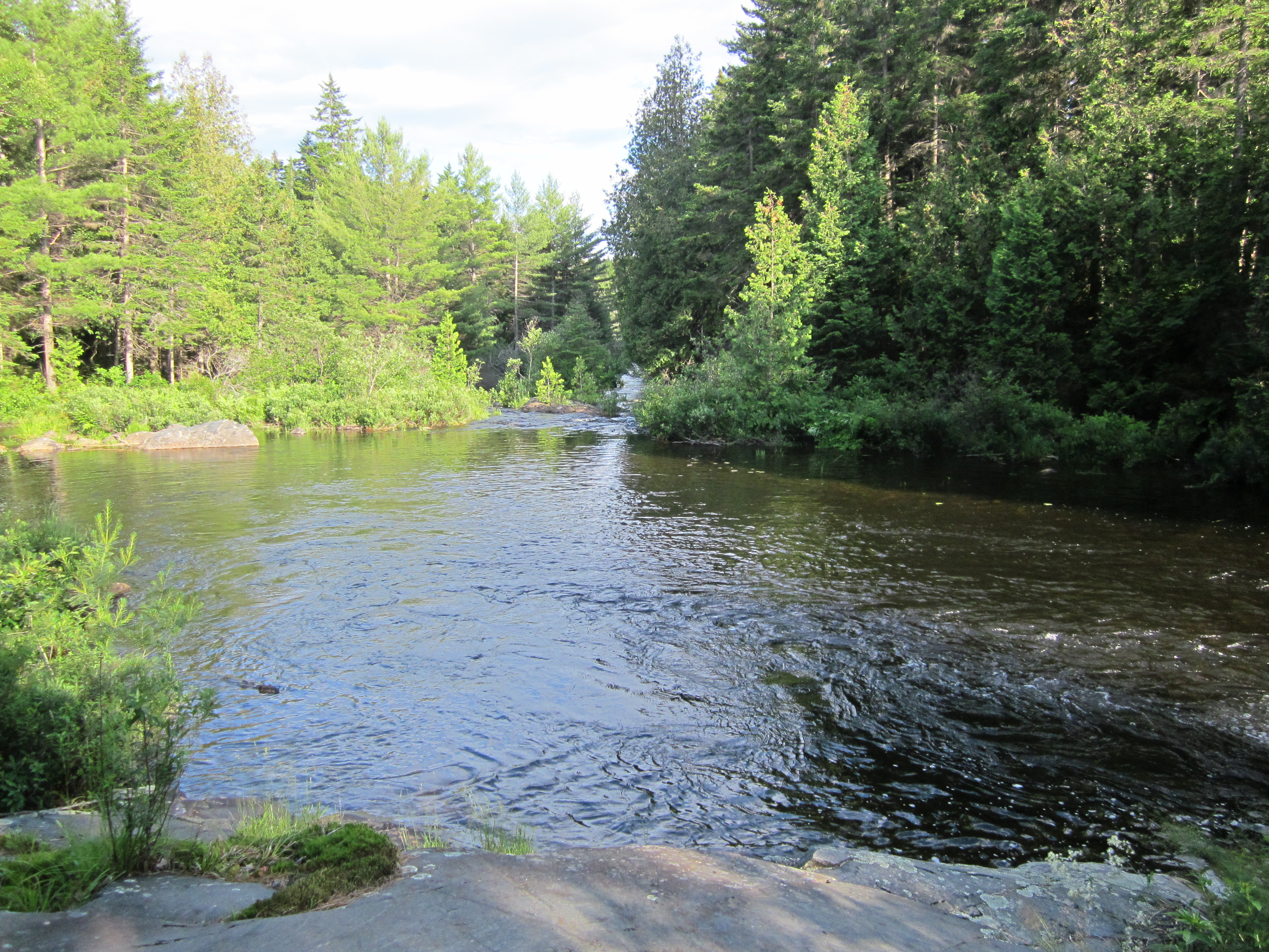
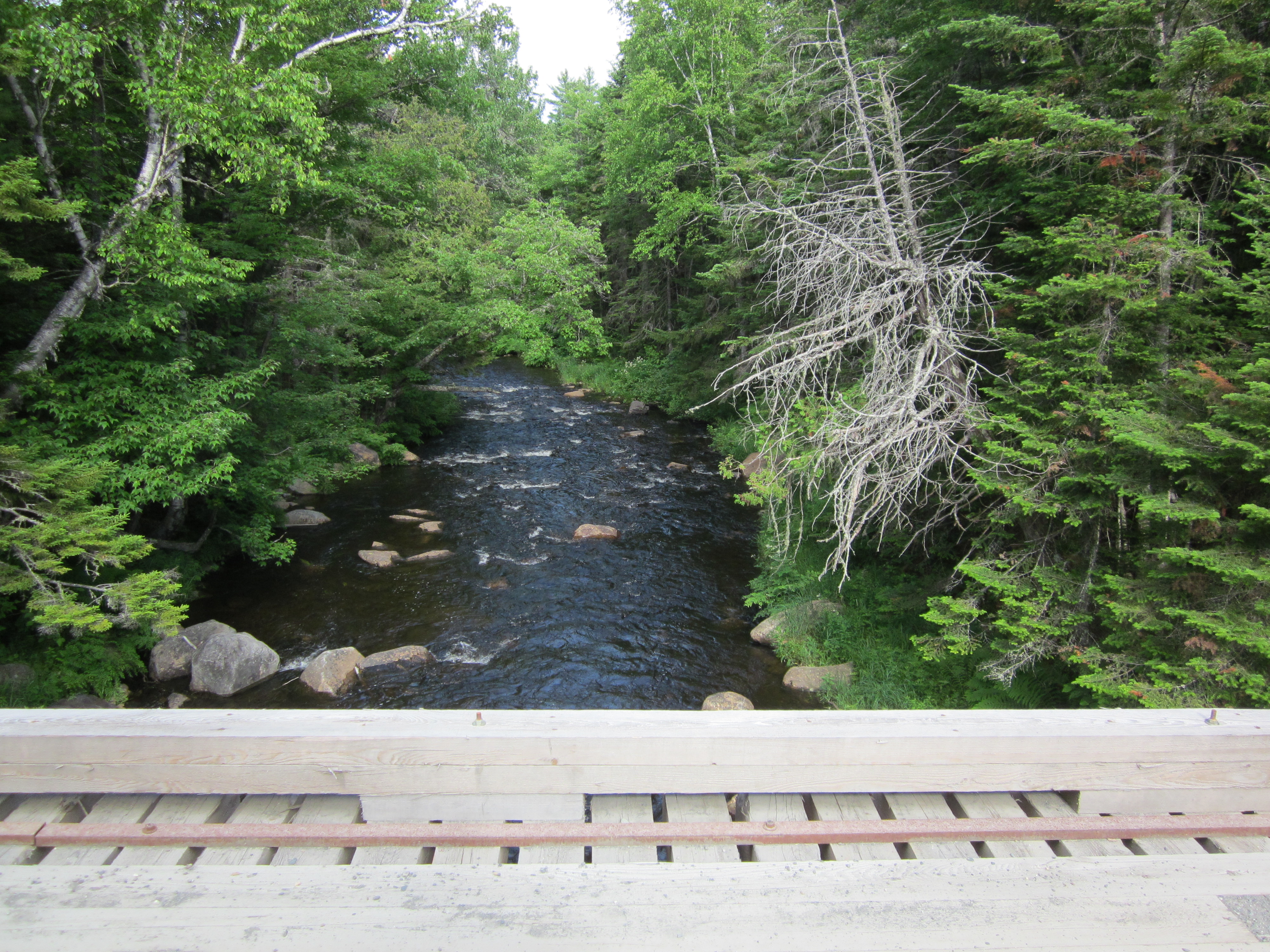
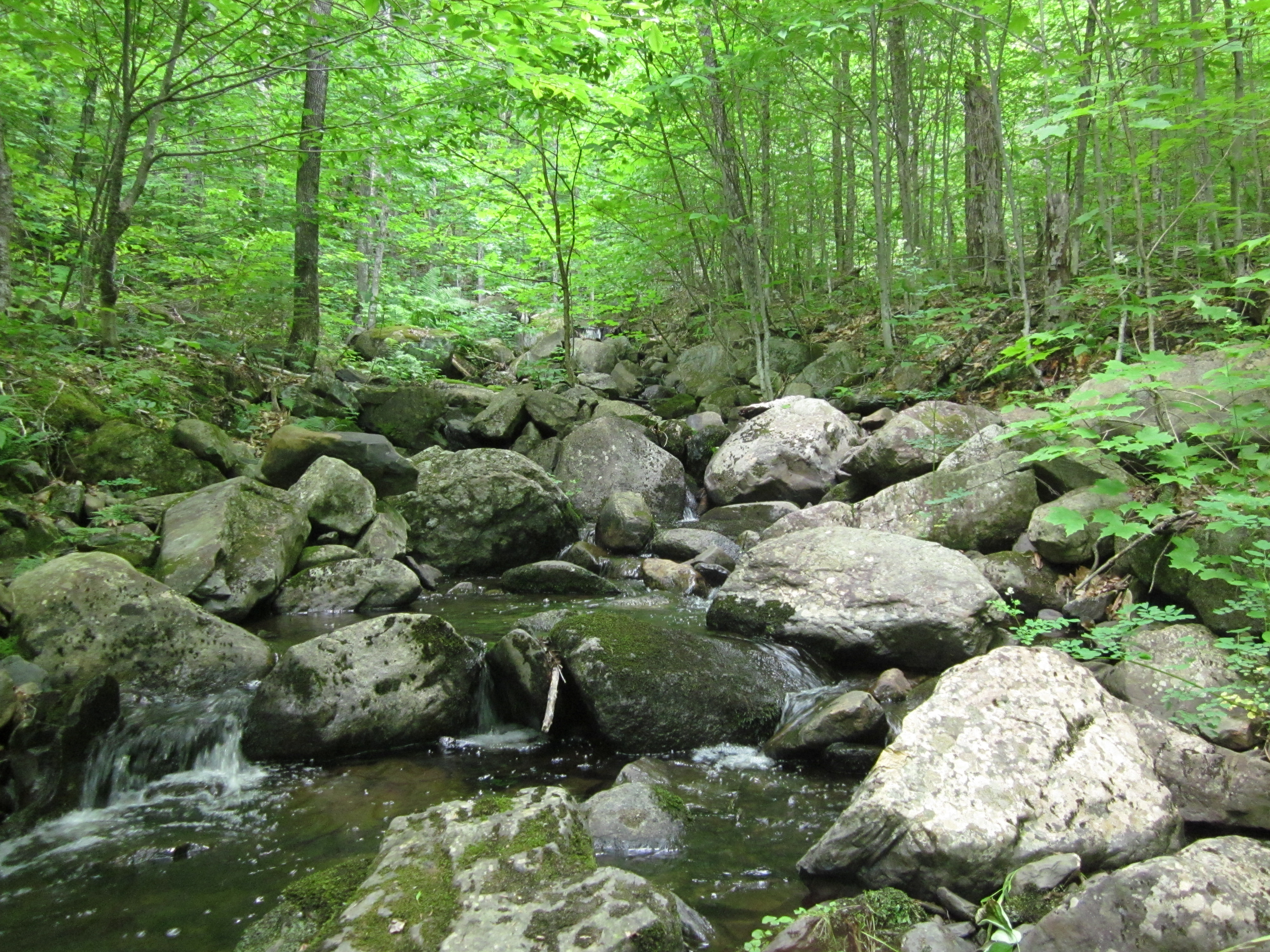
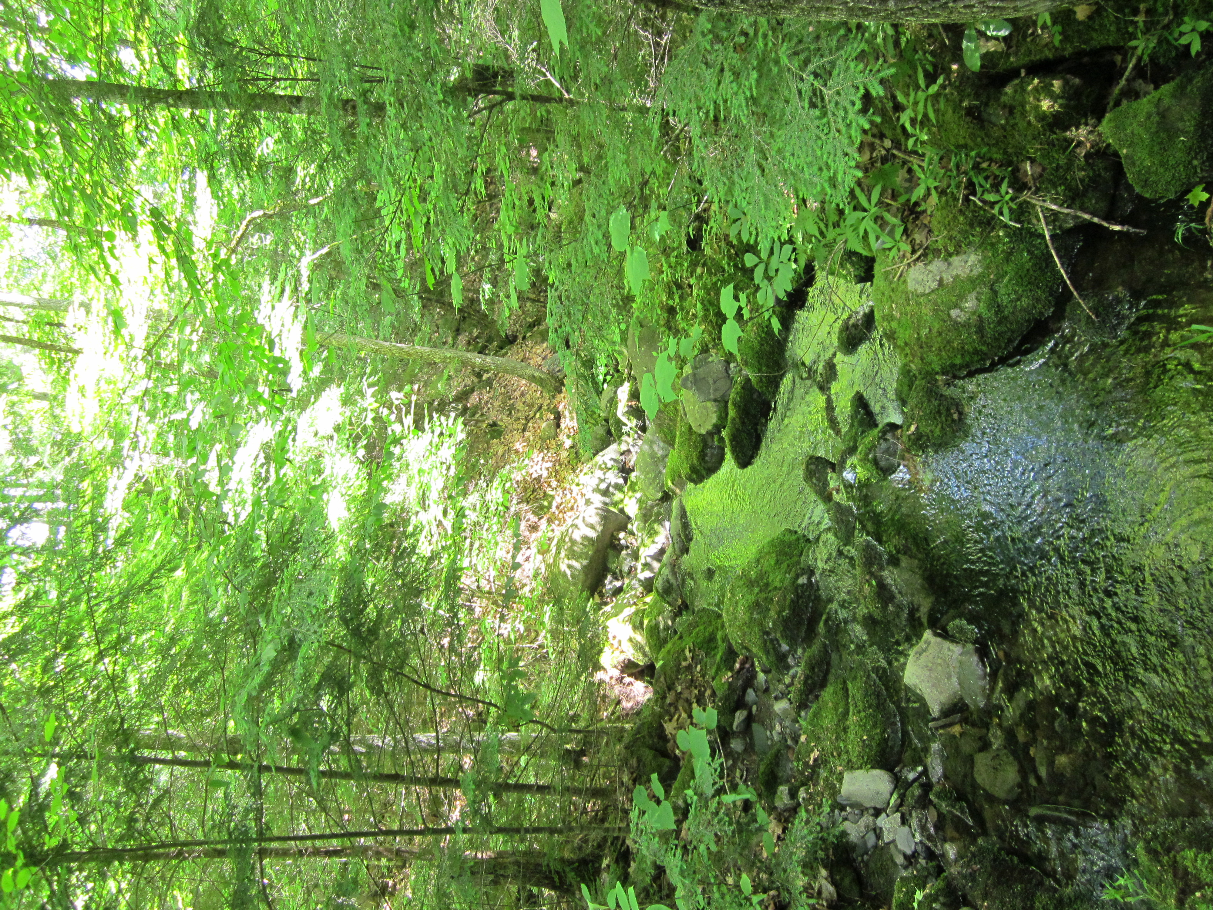
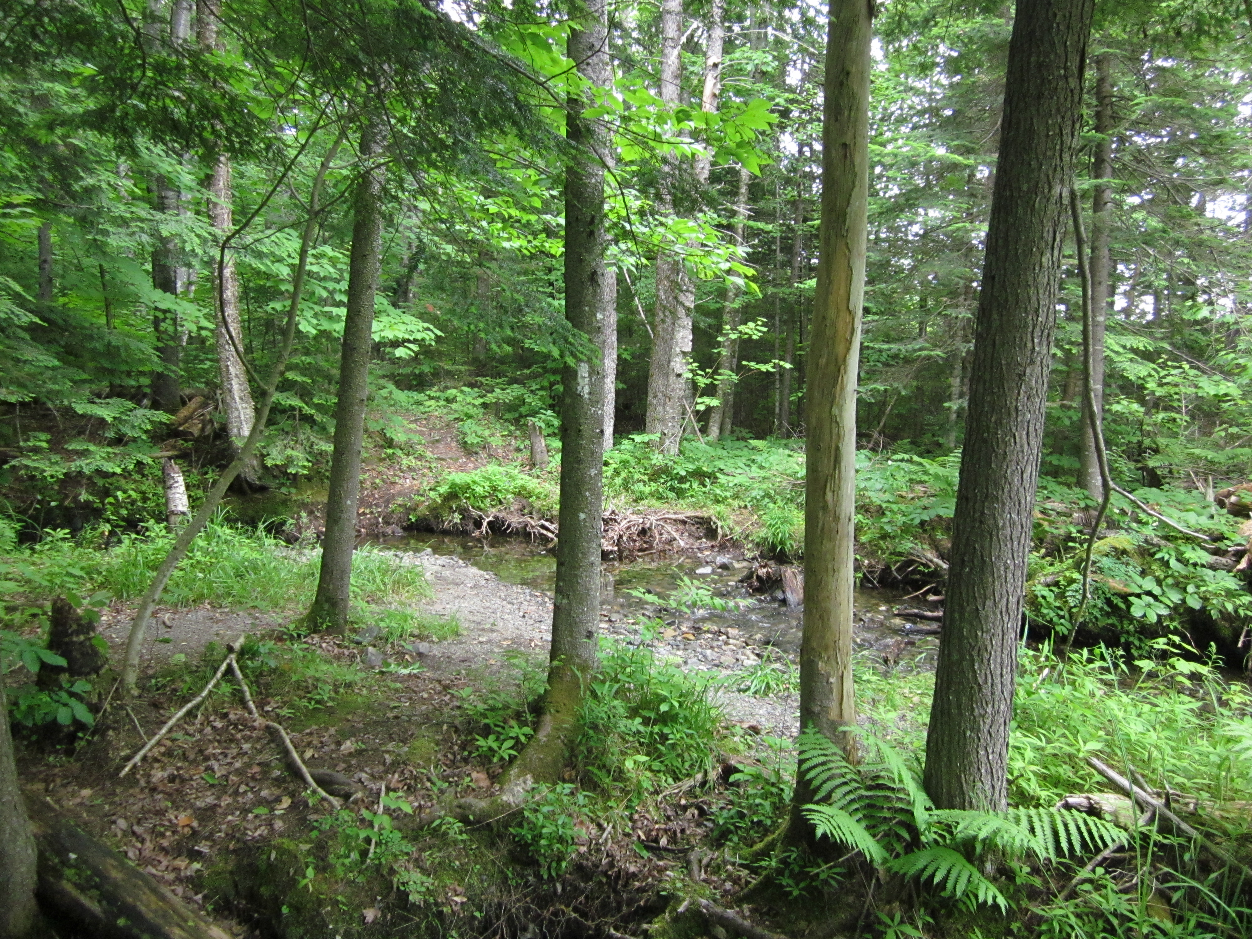
Bald Mountain Stream and Lake

IMG_2093.JPG Original
1/250s f8 ISO160
Monday, July 2, 2012 6:02:43PM EDT
Tags: CLV
Creek on Appalachian Trail.
Lake seen from Appalachian Trail.
View from Appalachian Trail
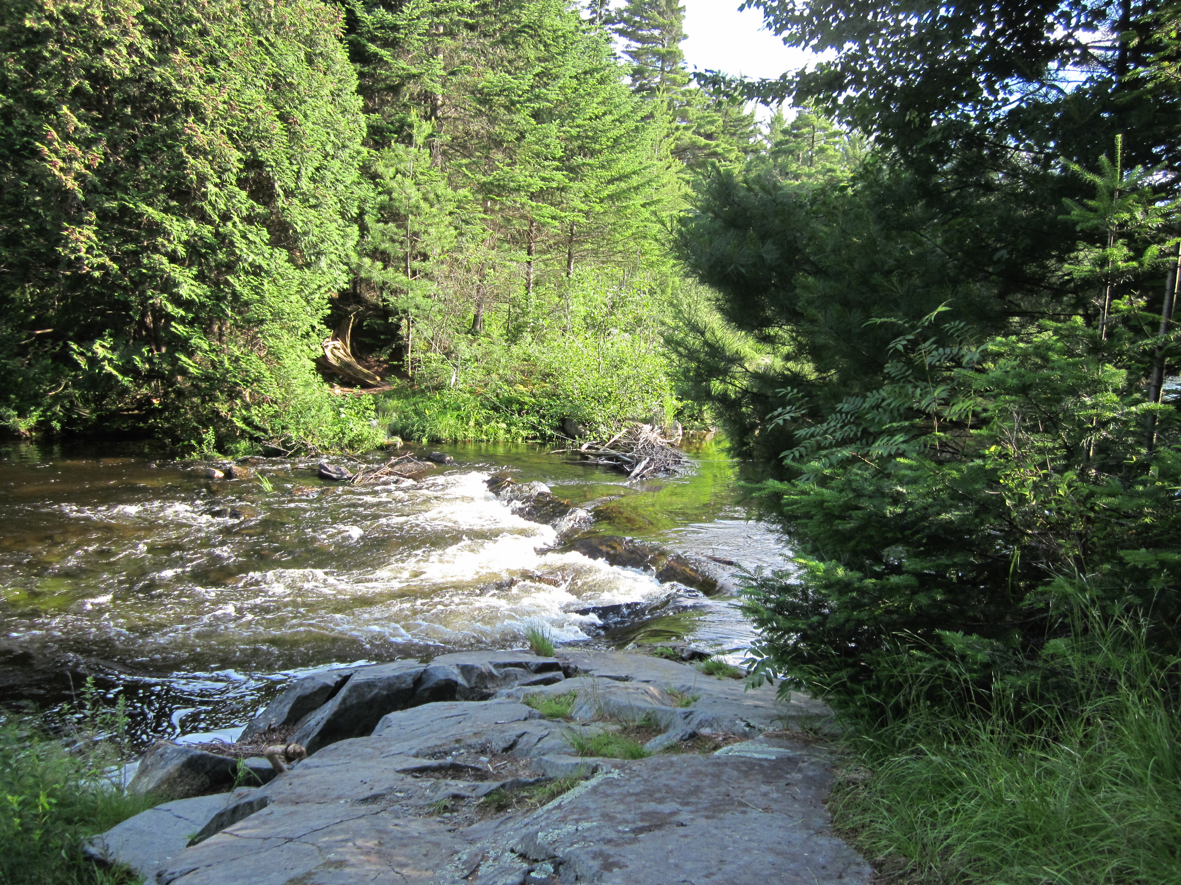
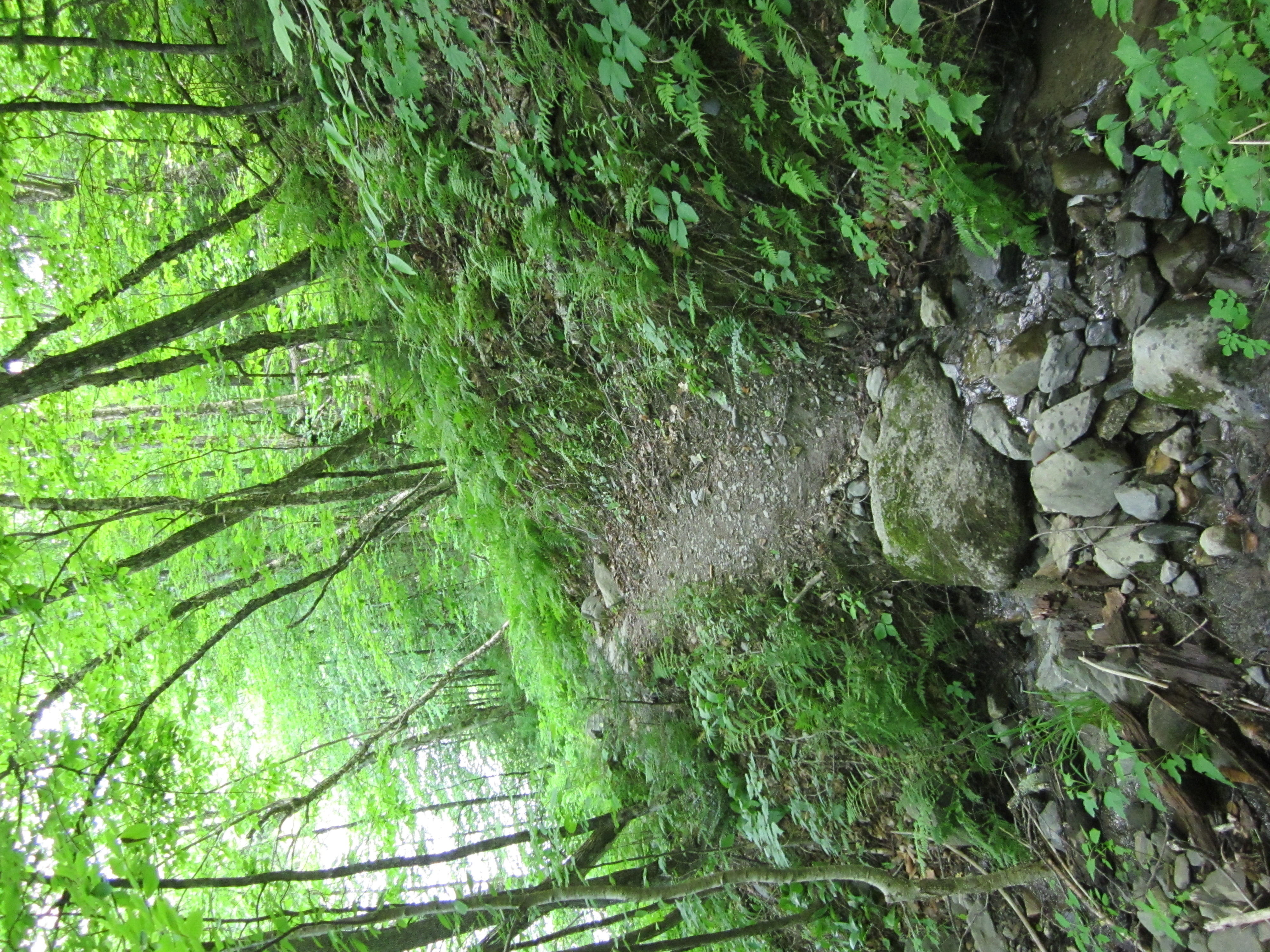
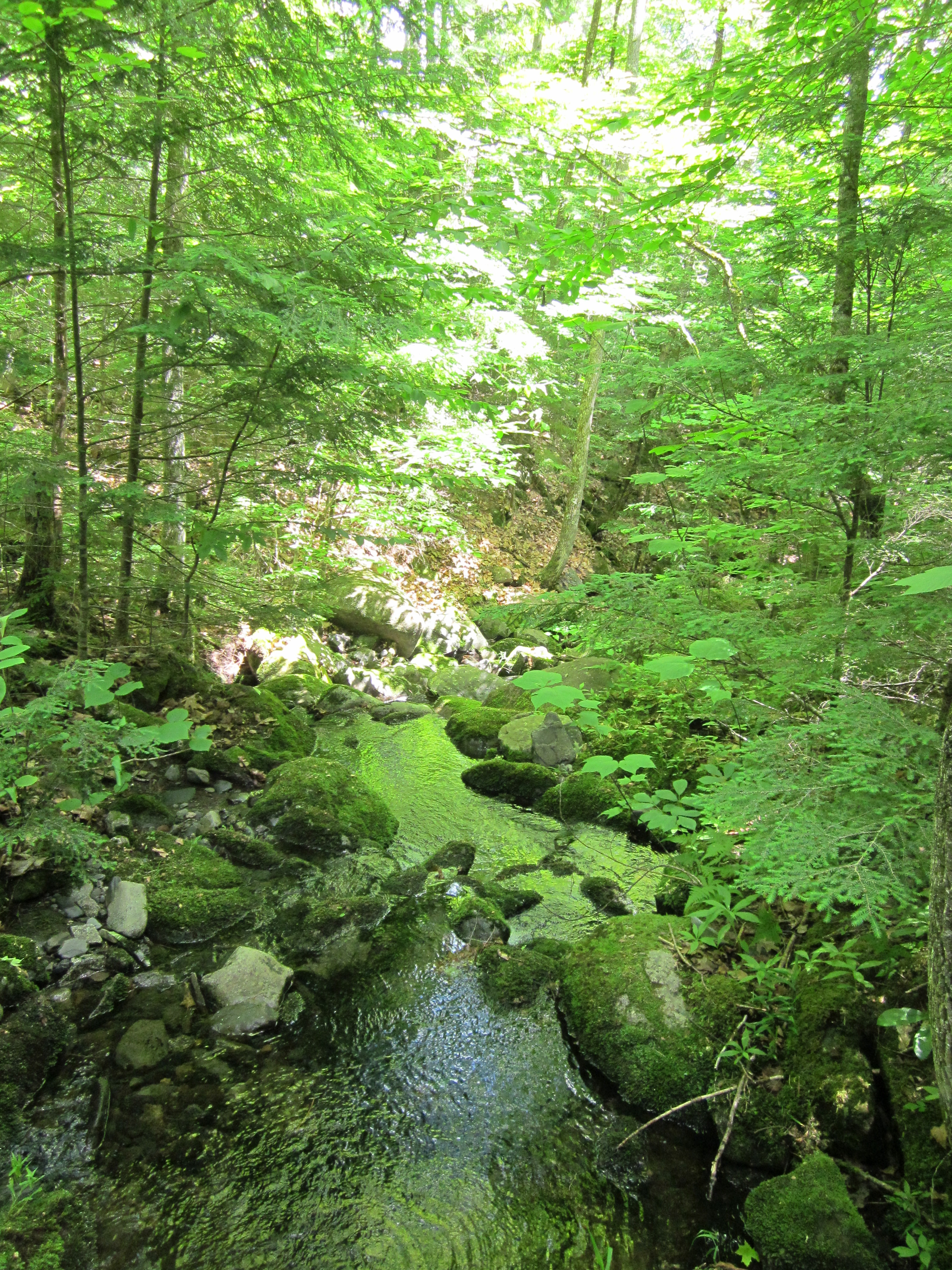
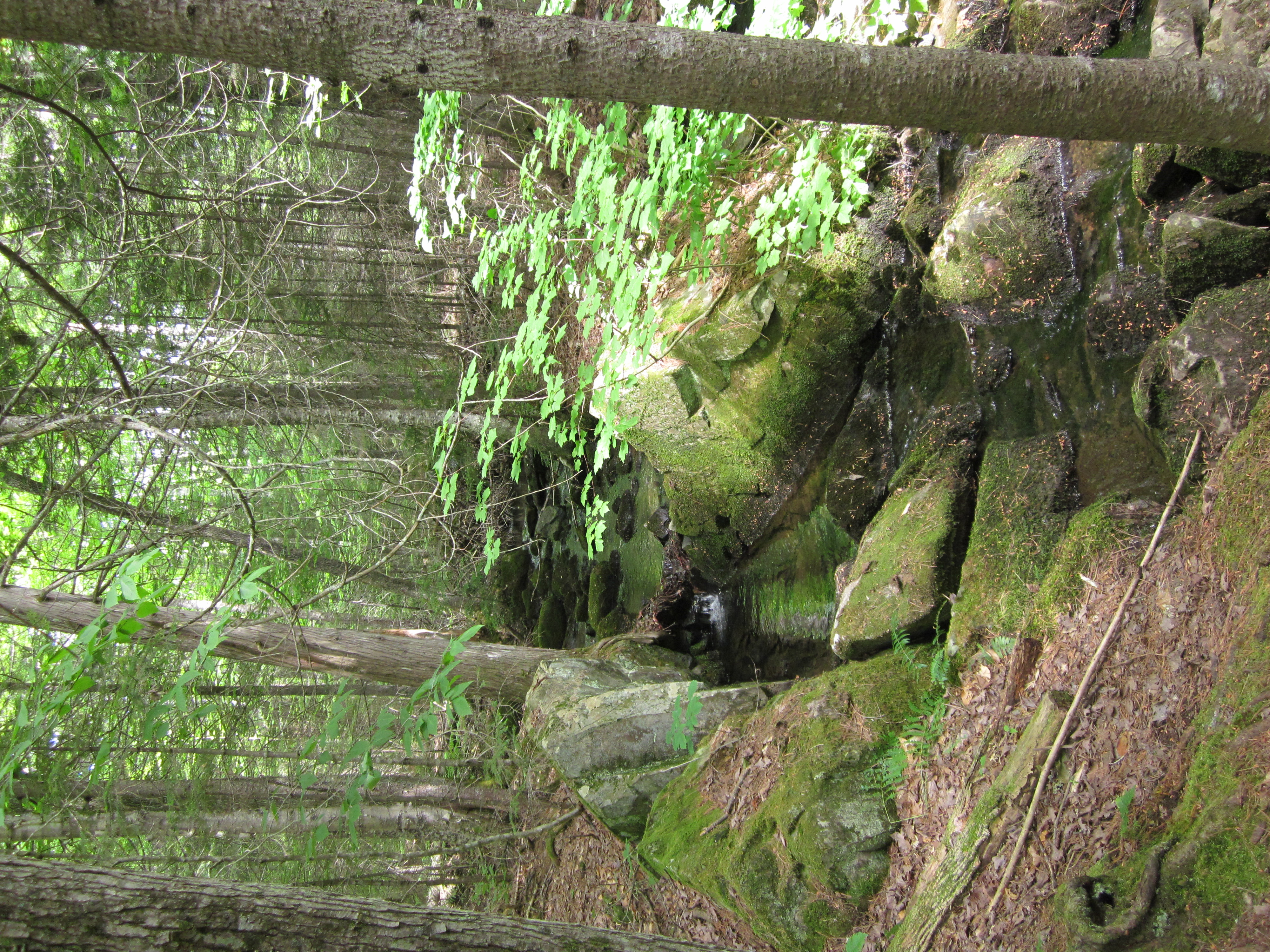
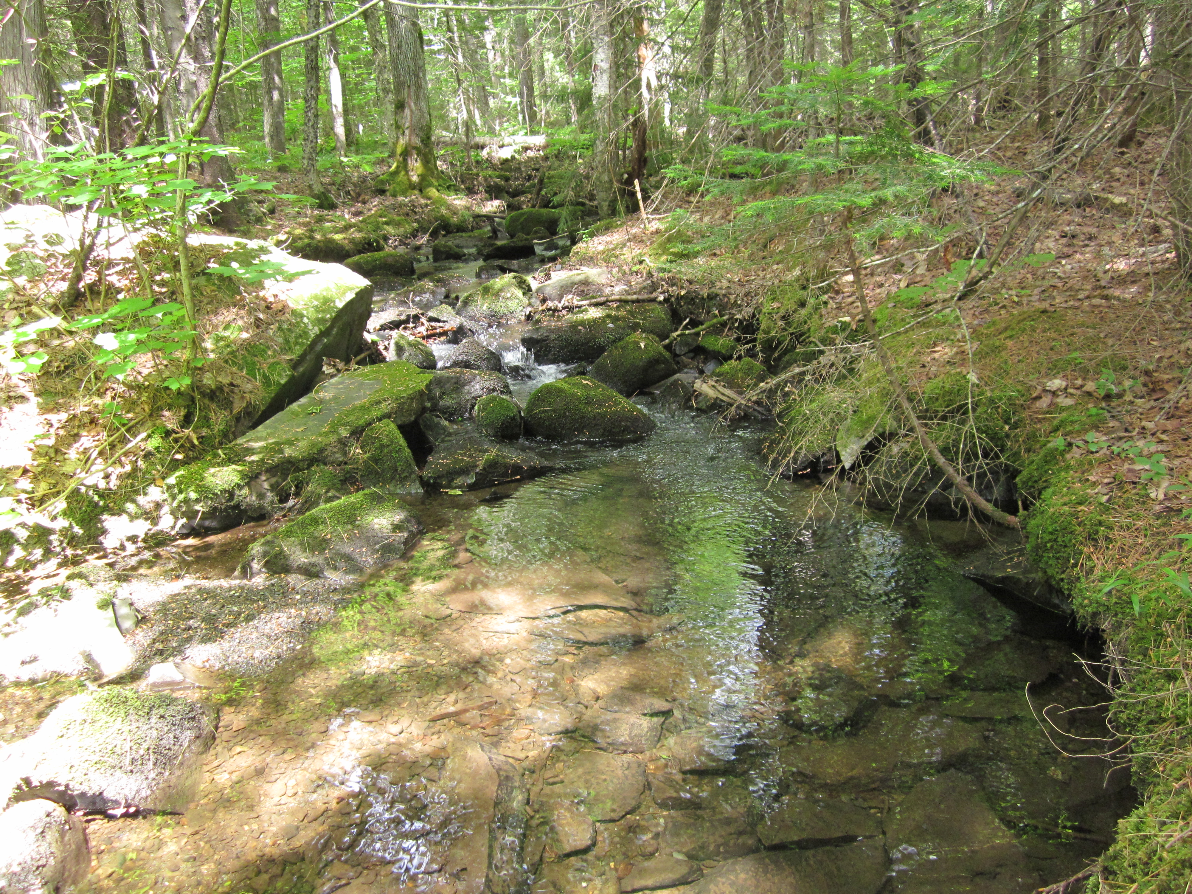
Bald Mountain Stream ford, South side

IMG_2092.JPG Original
1/640s f2.8 ISO160
Monday, July 2, 2012 6:02:20PM EDT
Tags: FTC
Creek on Appalachian Trail.
Ford crossing on the Appalachian Trail.
Appalachian Trail.
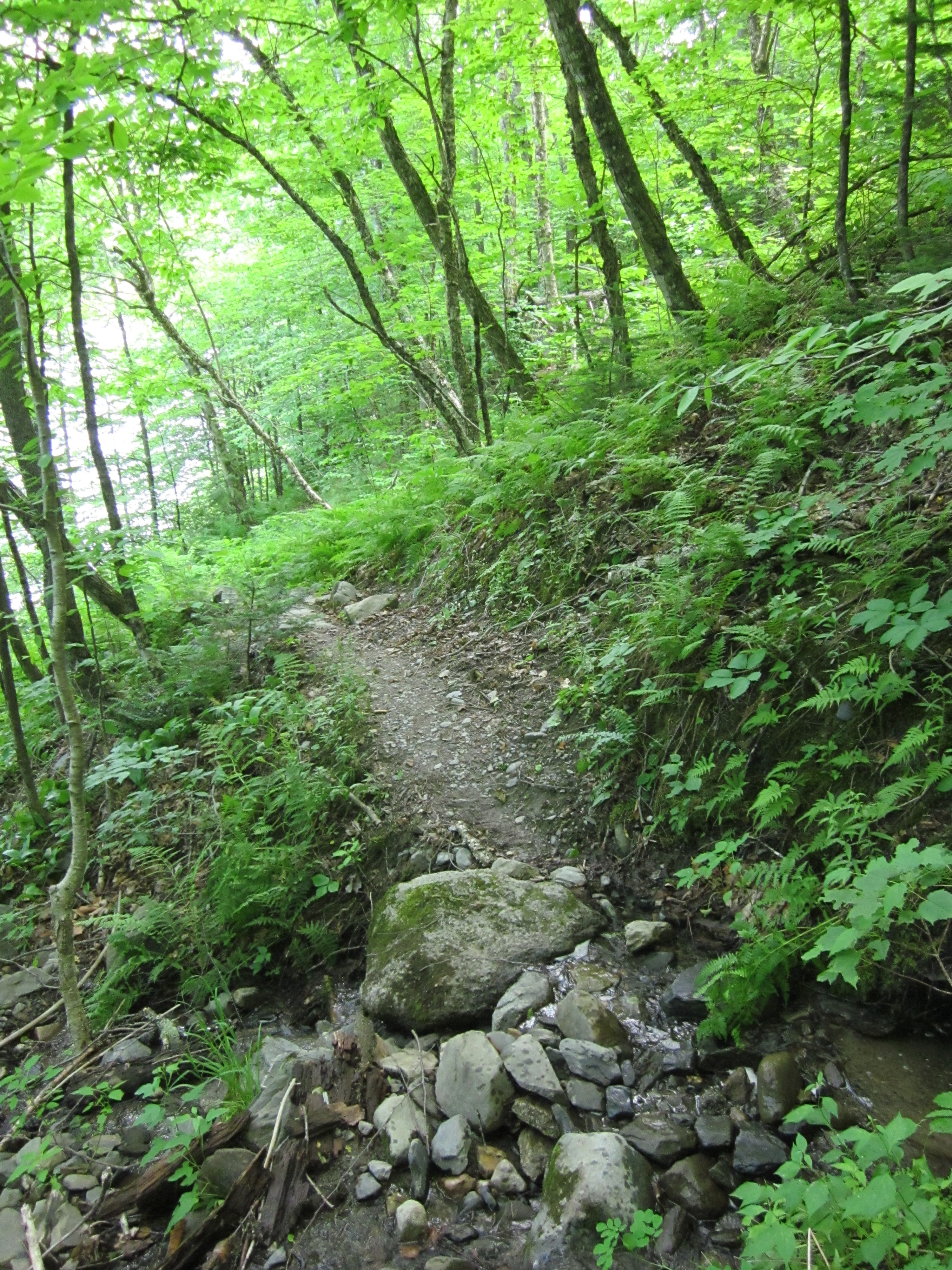
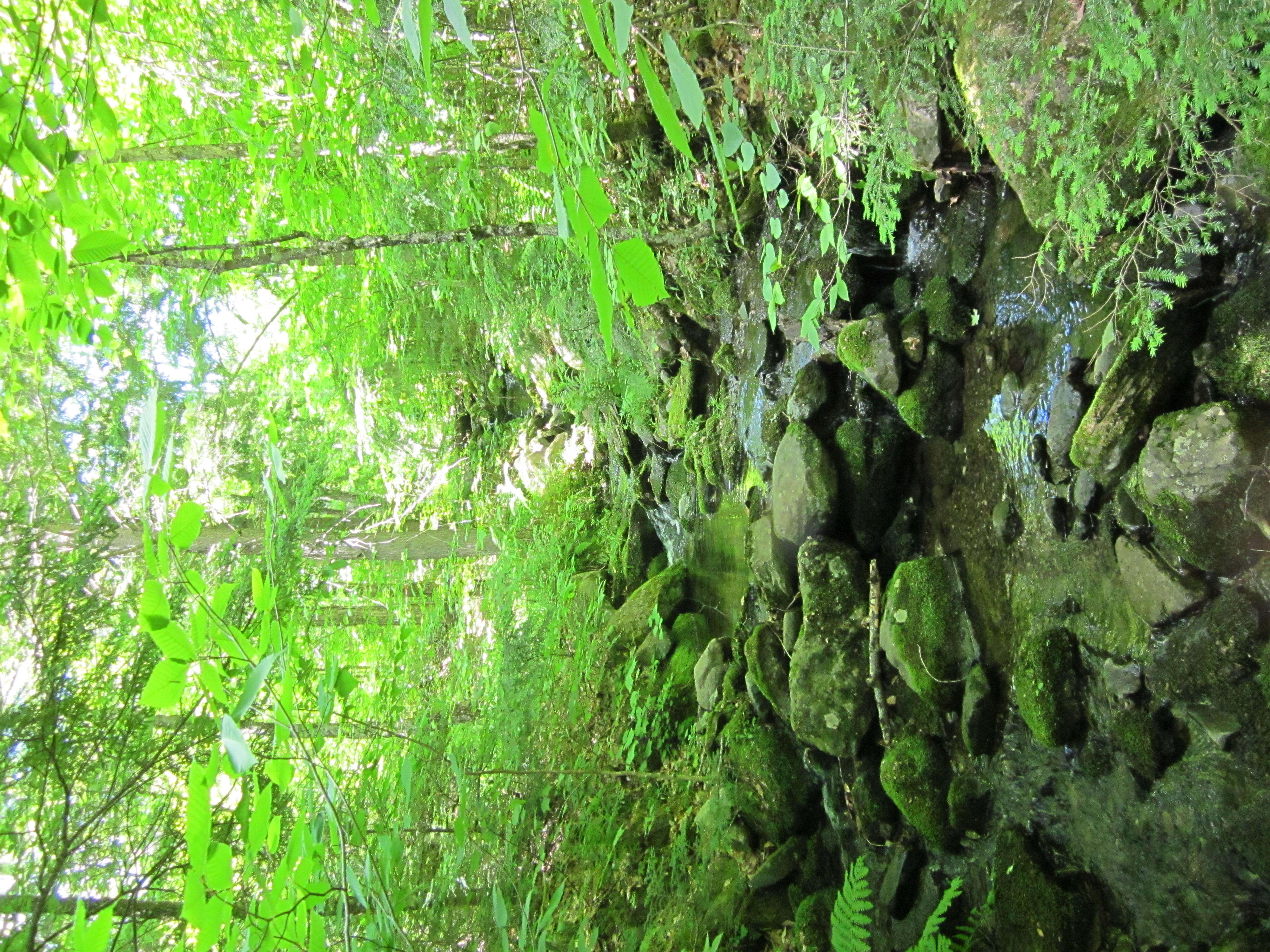
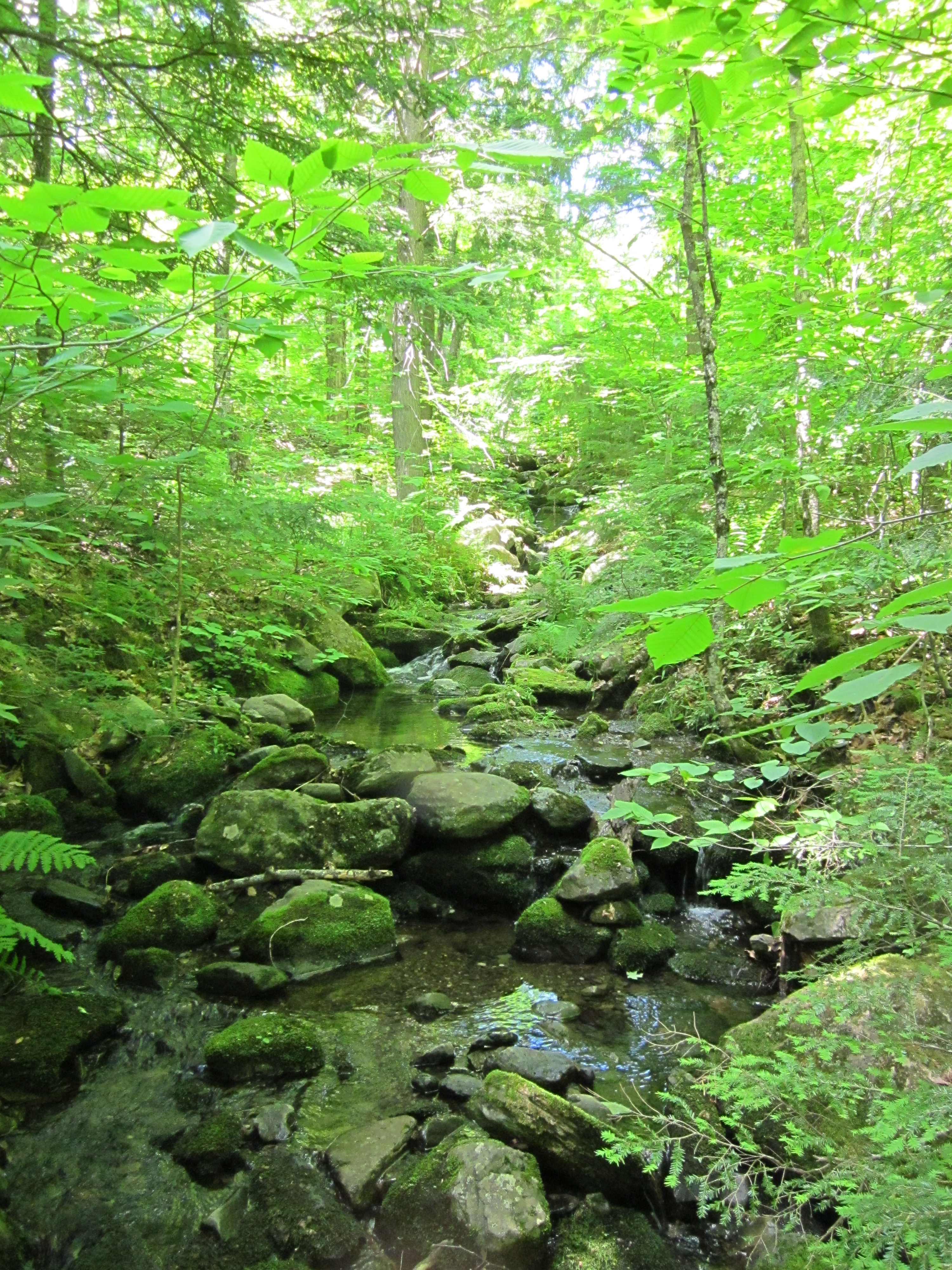
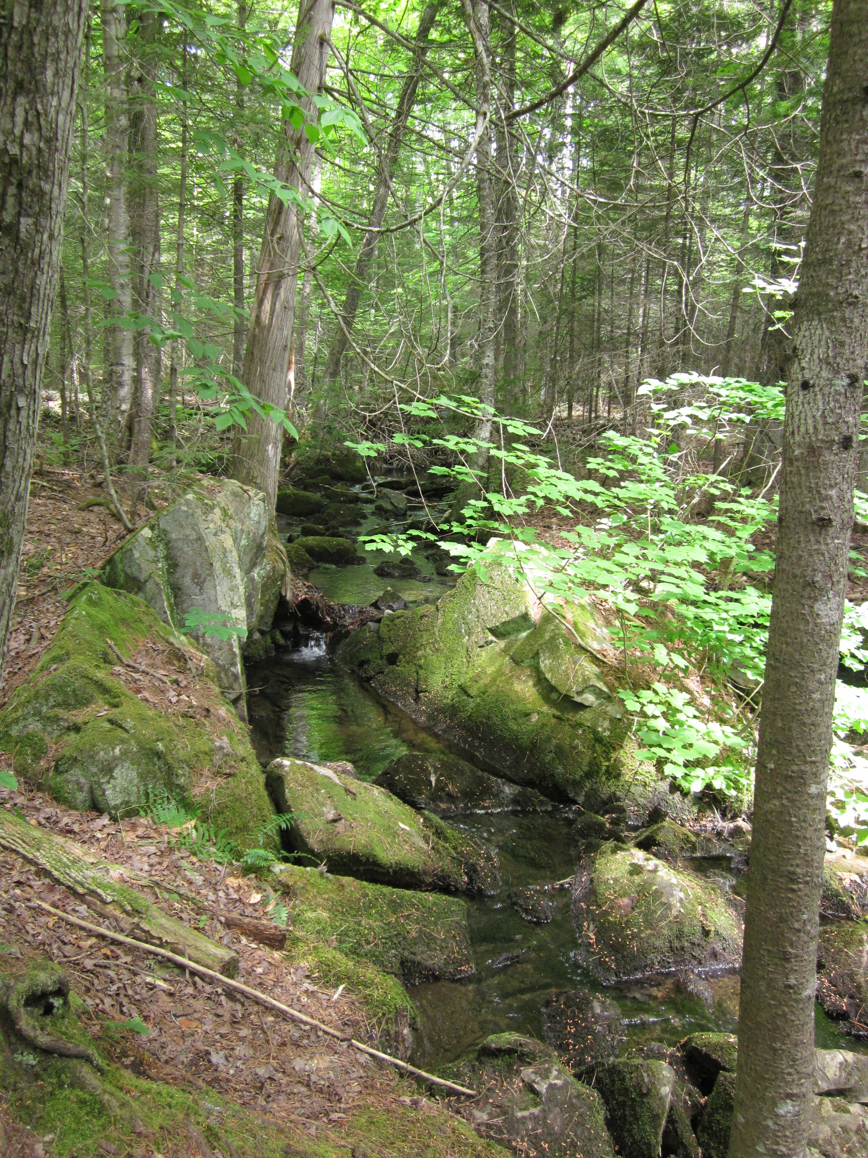
Bald Mountain Stream ford, South side

IMG_2091.JPG Original
1/250s f2.8 ISO160
Monday, July 2, 2012 6:02:05PM EDT
Tags: ZFC
Creek on Appalachian Trail.
Ford crossing on the Appalachian Trail.
Appalachian Trail with white blaze.
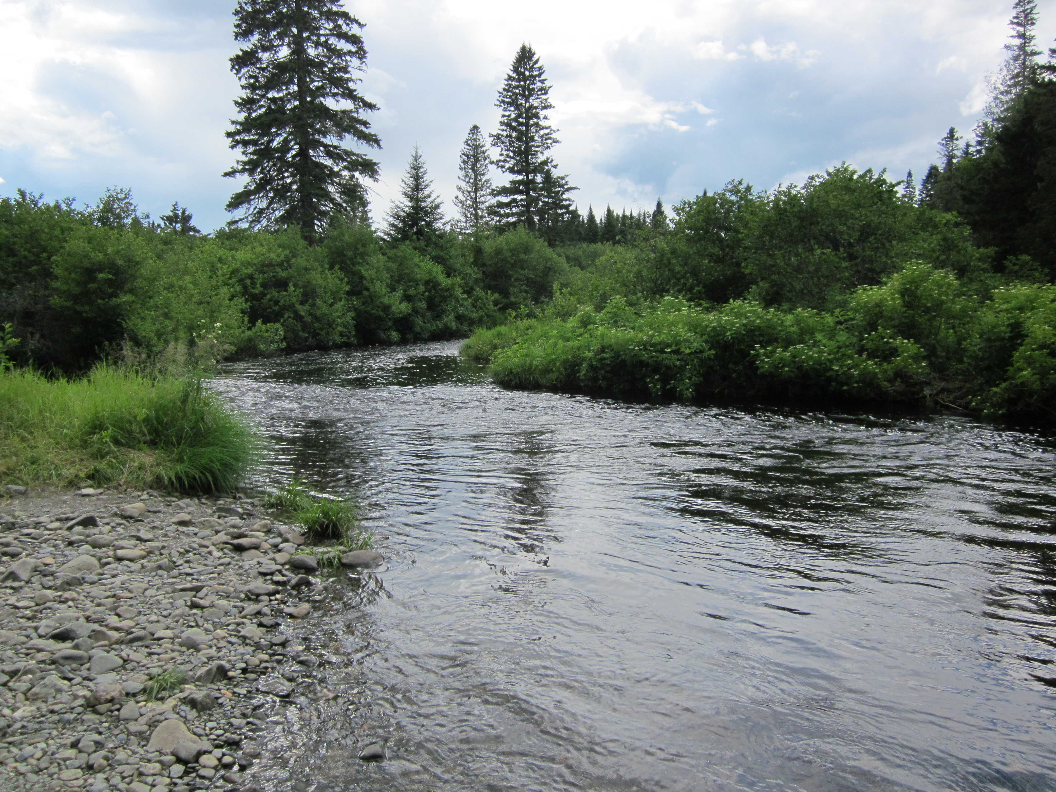
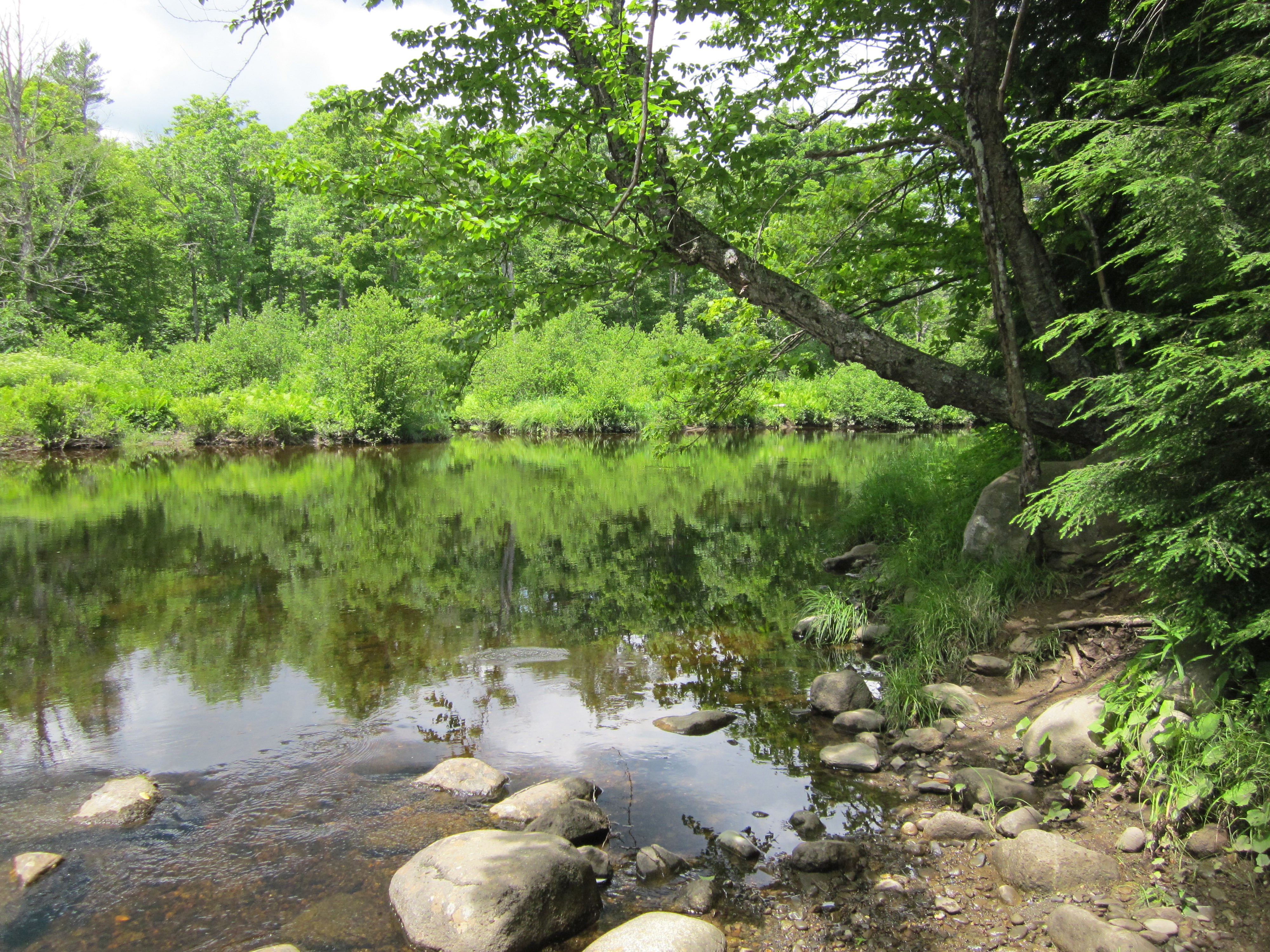
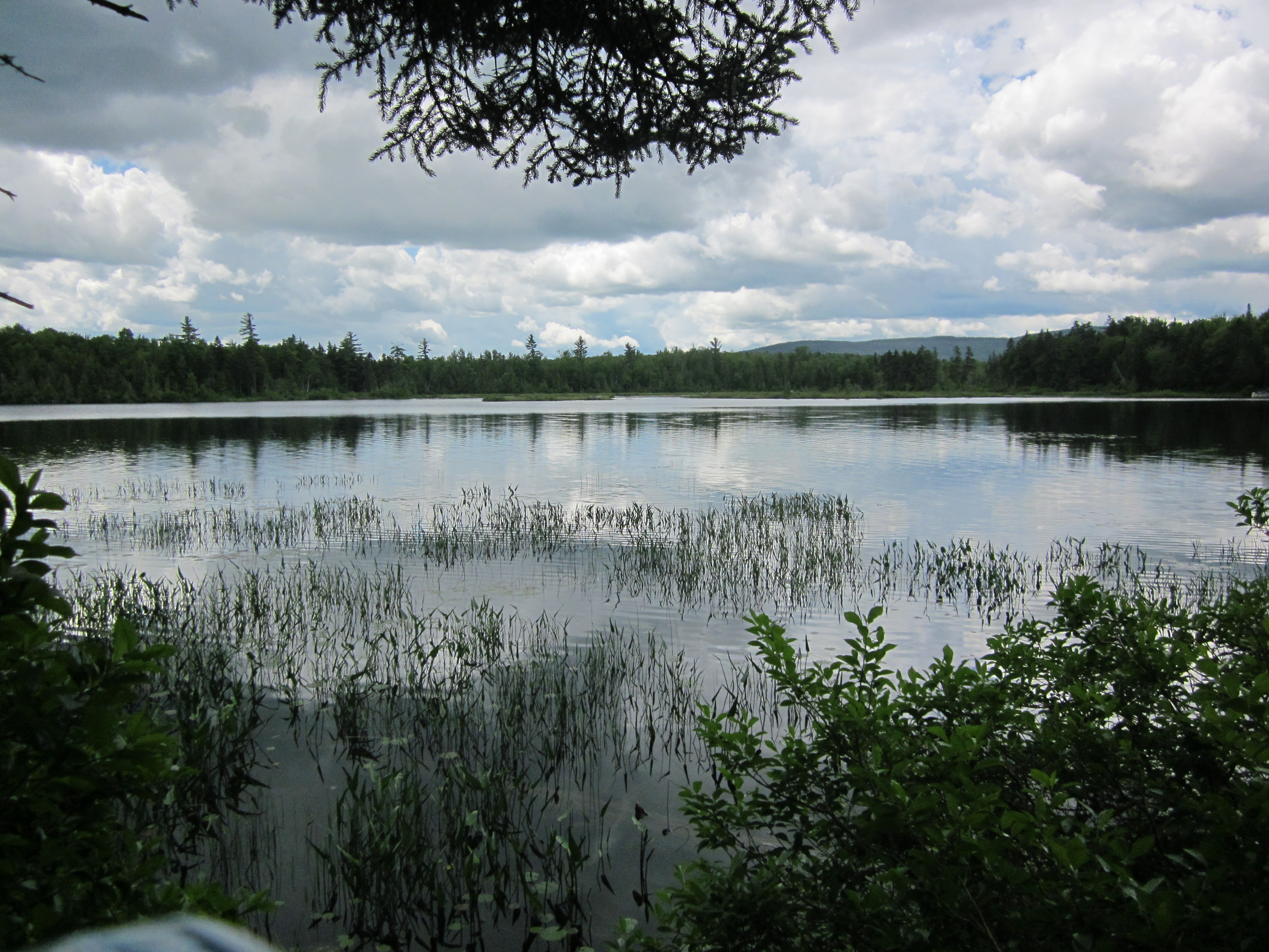
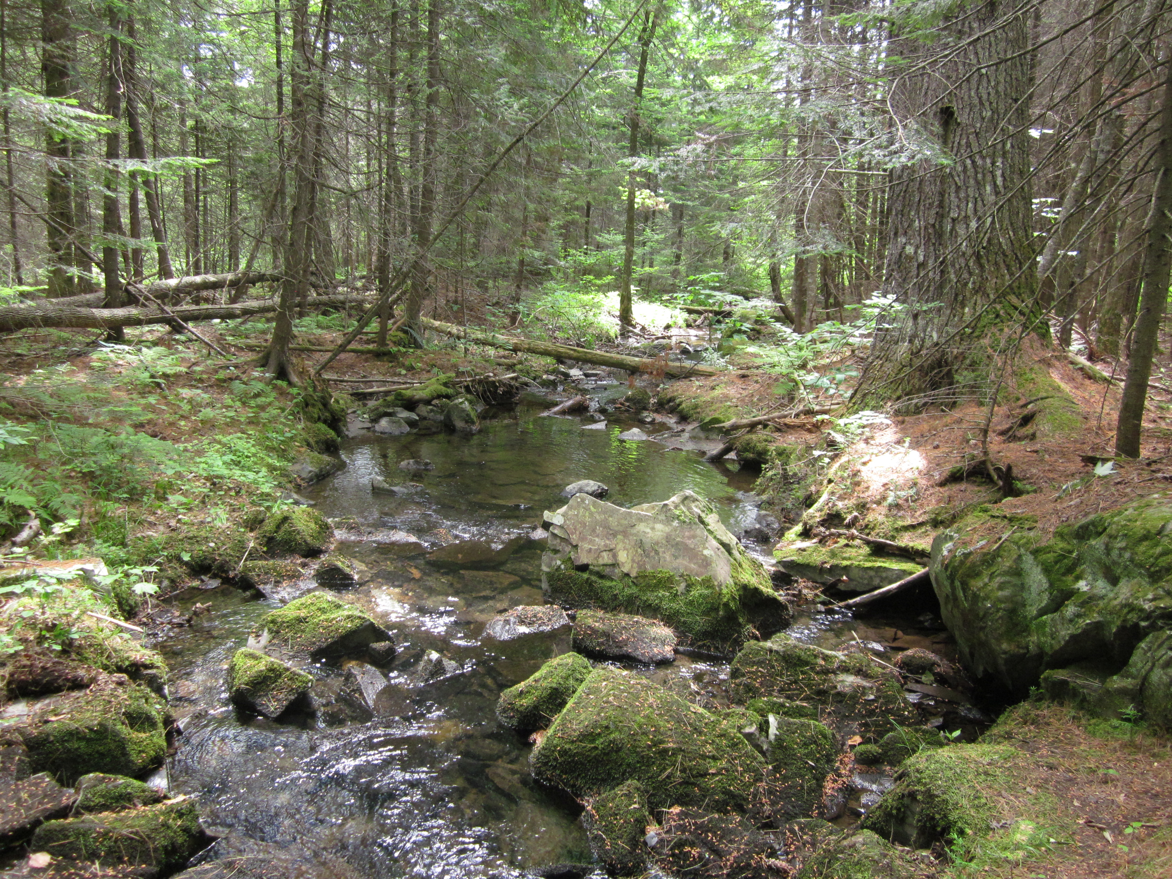
Bald Mountain Pond

IMG_2090.JPG Original
1/400s f2.8 ISO160
Monday, July 2, 2012 6:01:41PM EDT
Tags: VL
Lake seen from Appalachian Trail.
View from Appalachian Trail
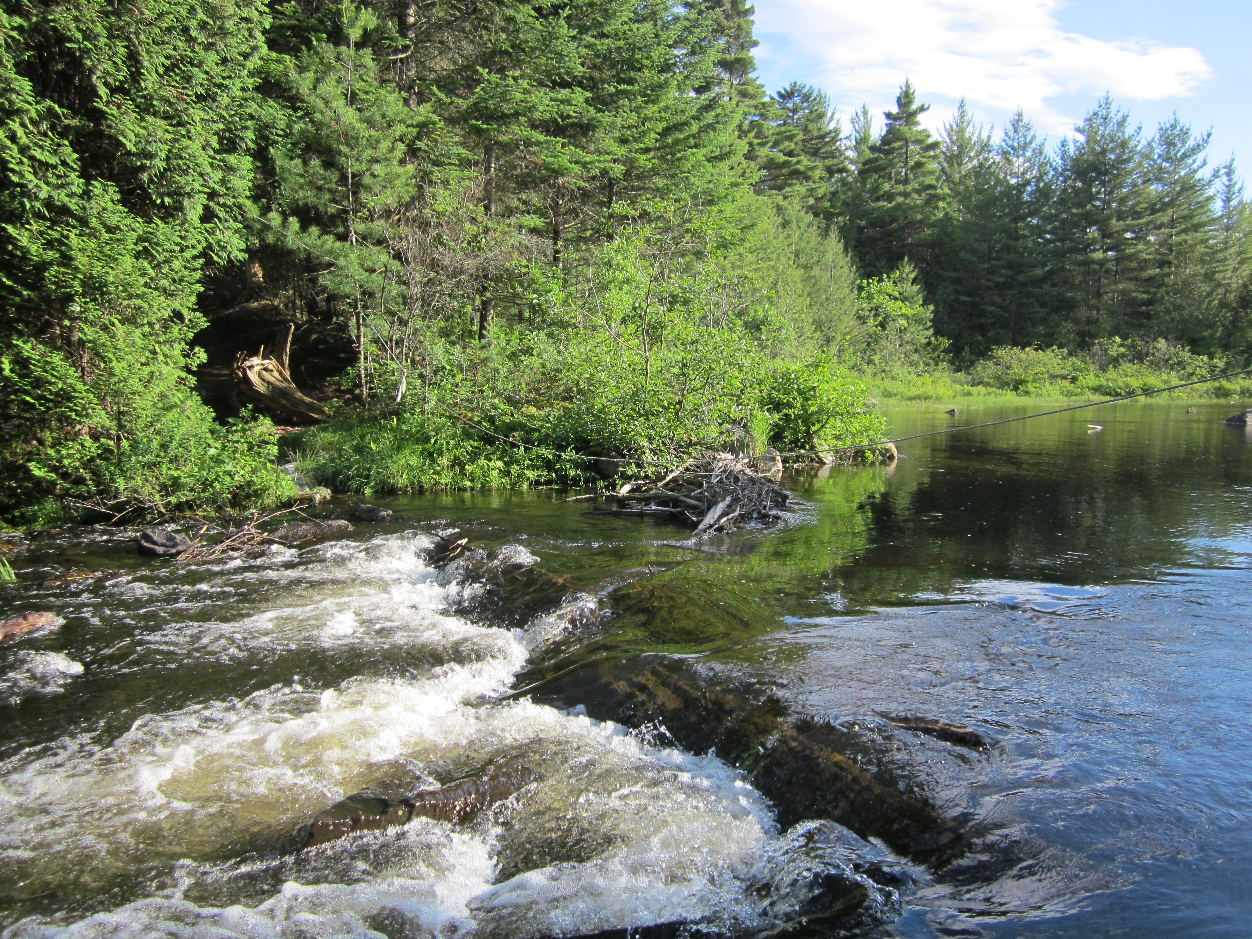
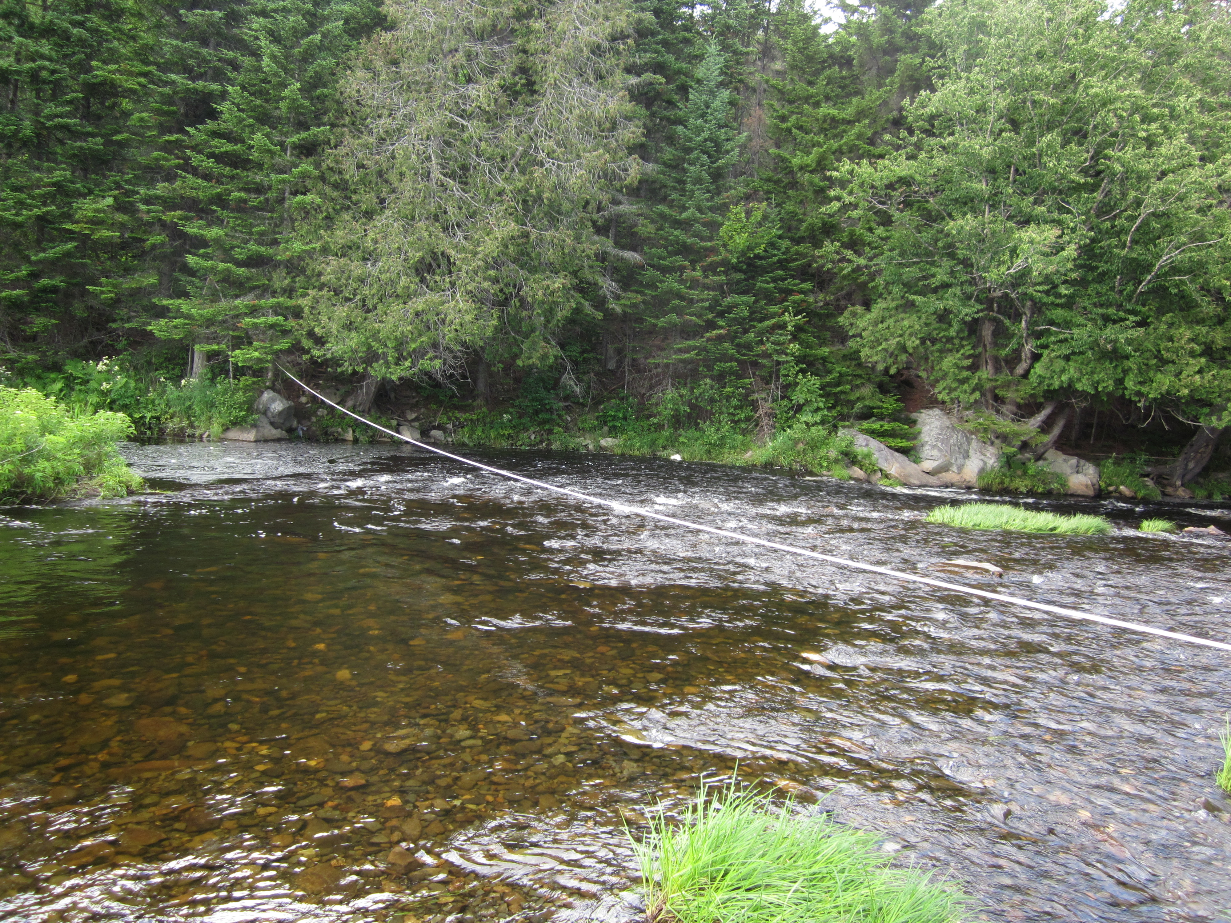
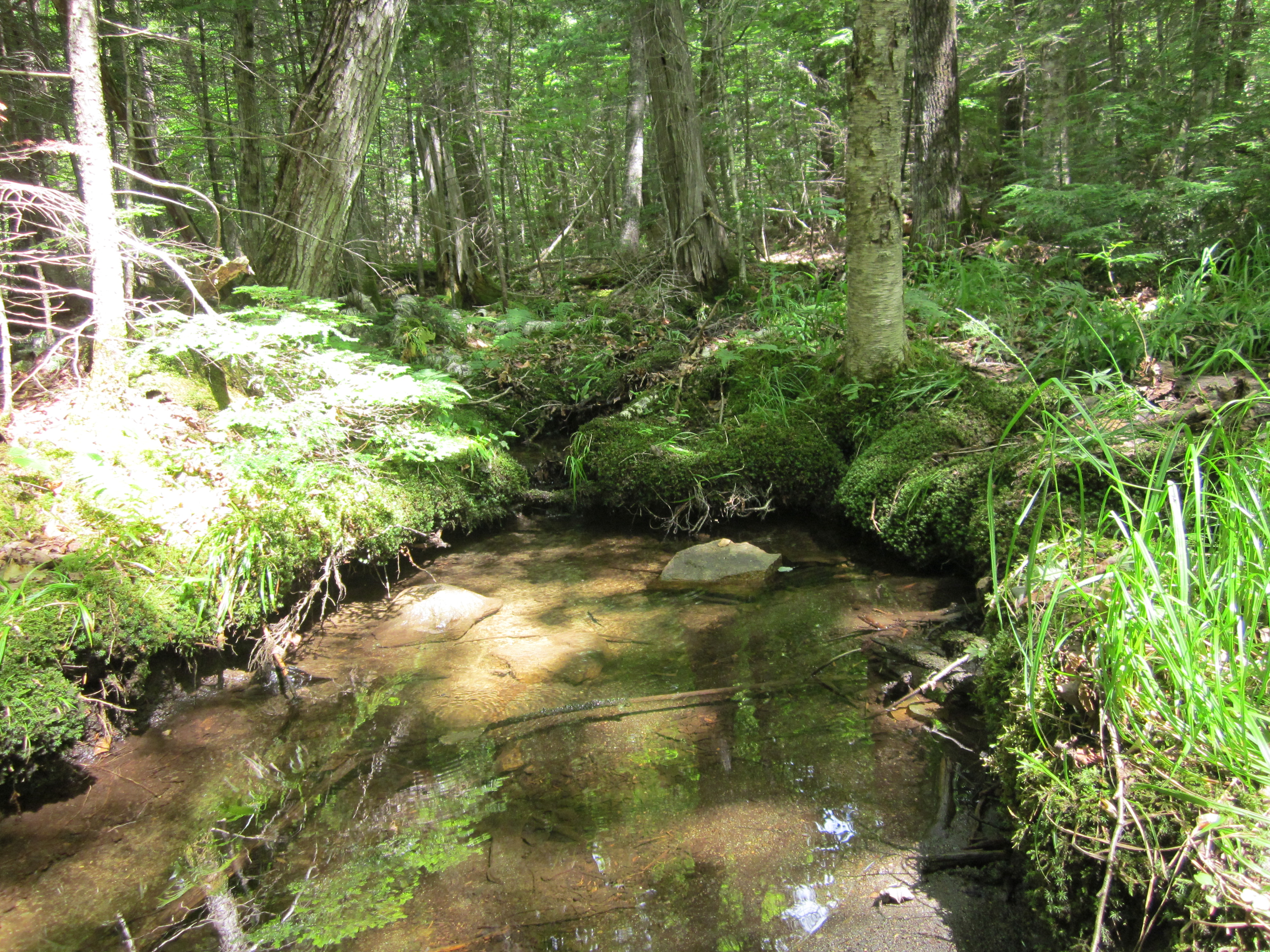
Ford with rope, Bald Mountain Stream - South side

IMG_2089.JPG Original
1/160s f2.8 ISO80
Monday, July 2, 2012 6:01:36PM EDT
Tags: FT
Ford crossing on the Appalachian Trail.
Appalachian Trail.
Bald Mountain Pond

IMG_2088.JPG Original
1/200s f8 ISO160
Monday, July 2, 2012 5:55:05PM EDT
Tags: L
Lake seen from Appalachian Trail.

IMG_2087.JPG Original
1/40s f2.8 ISO400
Full size rotated image
Rotation angle: 90
Monday, July 2, 2012 5:54:54PM EDT
Tags: T
Appalachian Trail.
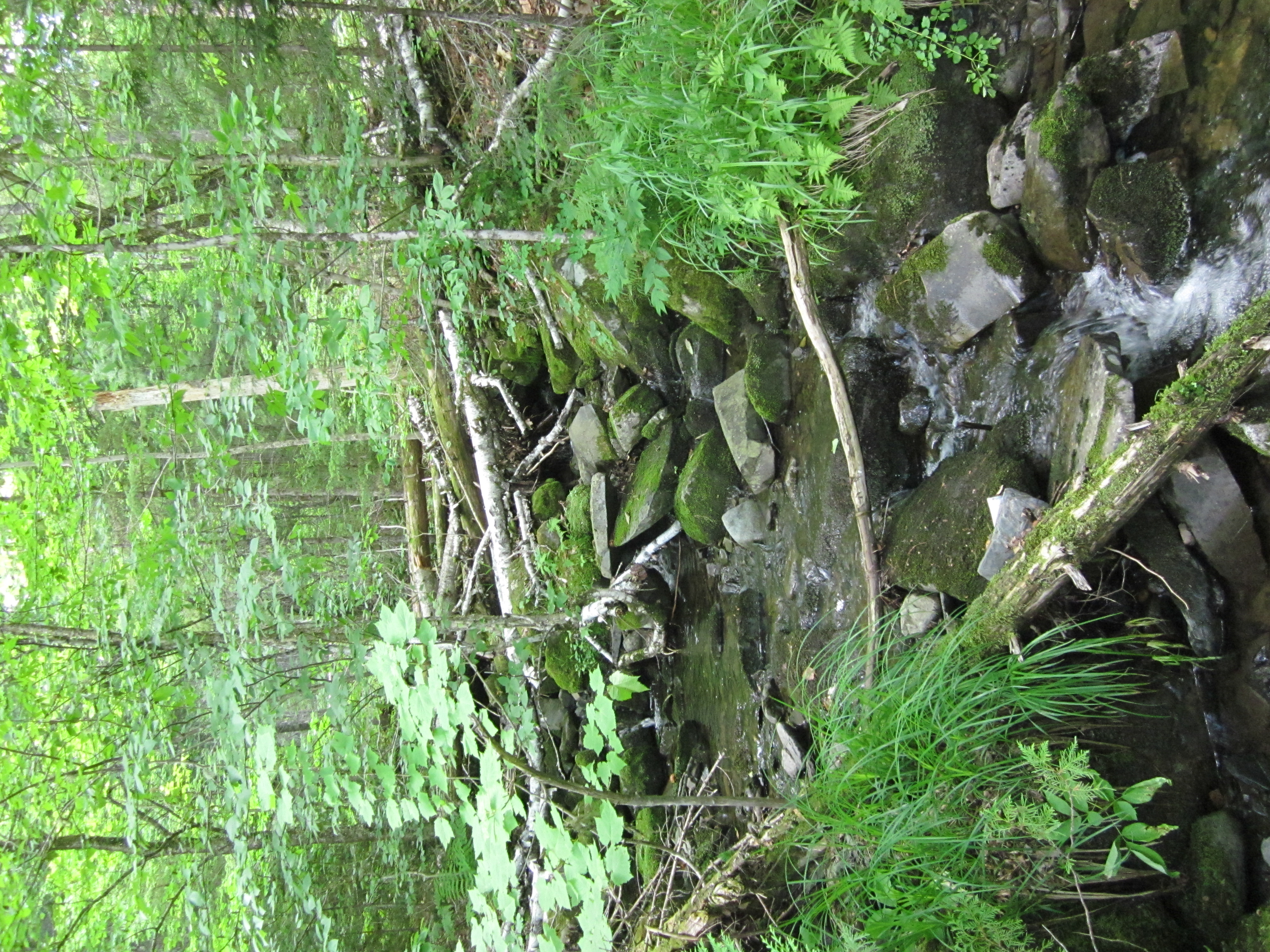
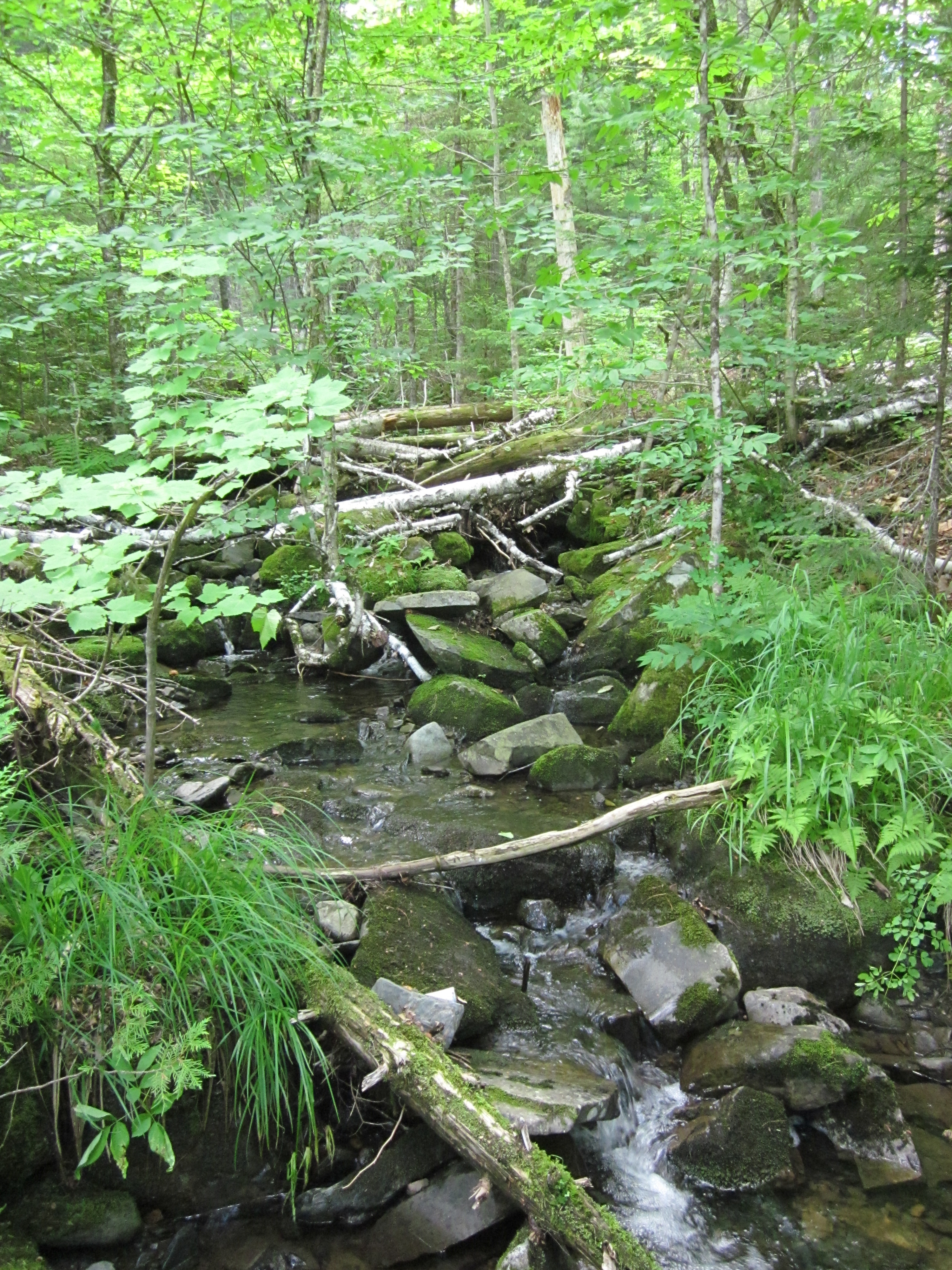
Ford with rope, Bald Mountain Stream

IMG_2086.JPG Original
1/60s f2.8 ISO125
Monday, July 2, 2012 5:54:49PM EDT
Tags: FT
Ford crossing on the Appalachian Trail.
Appalachian Trail.
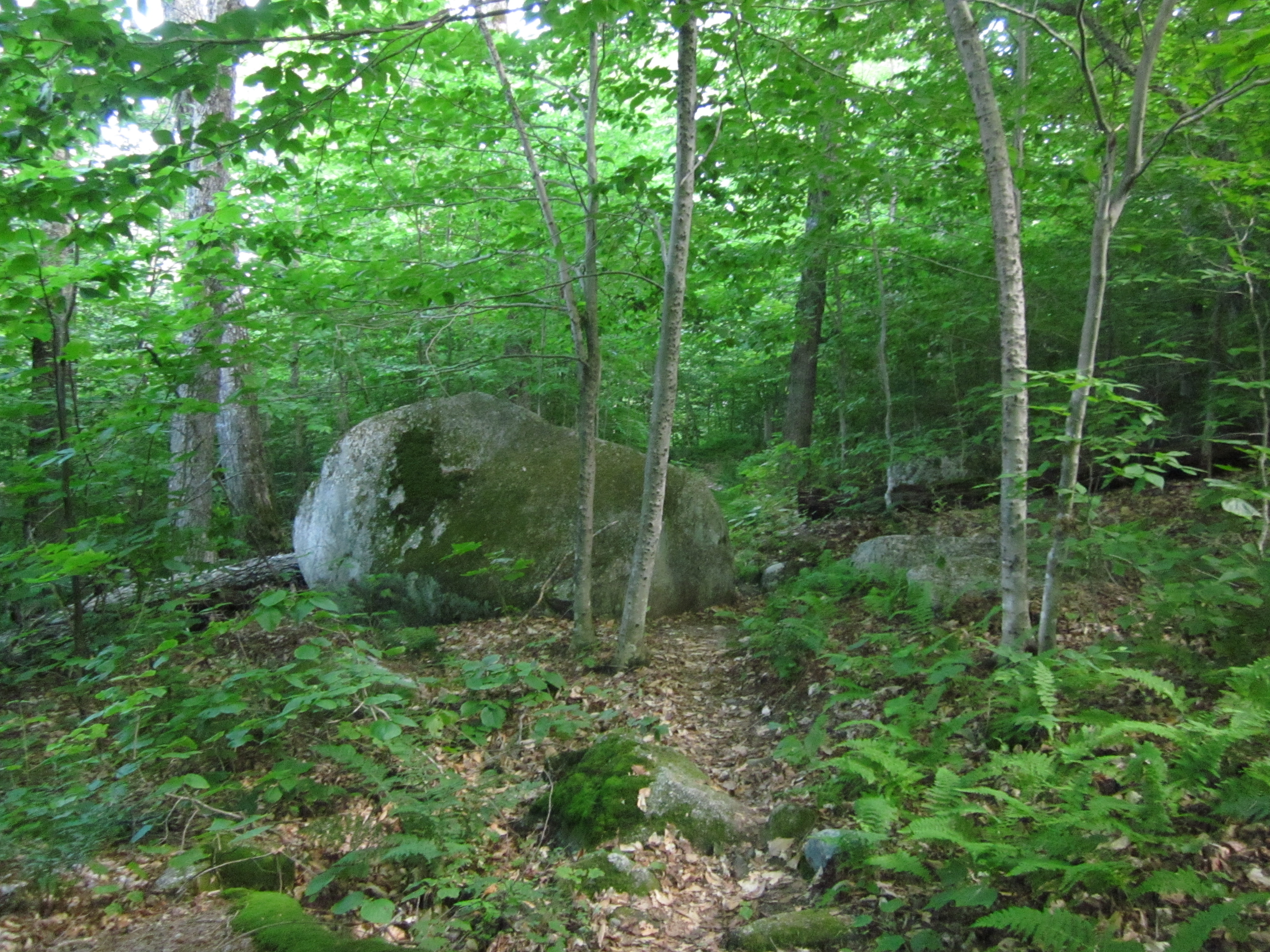
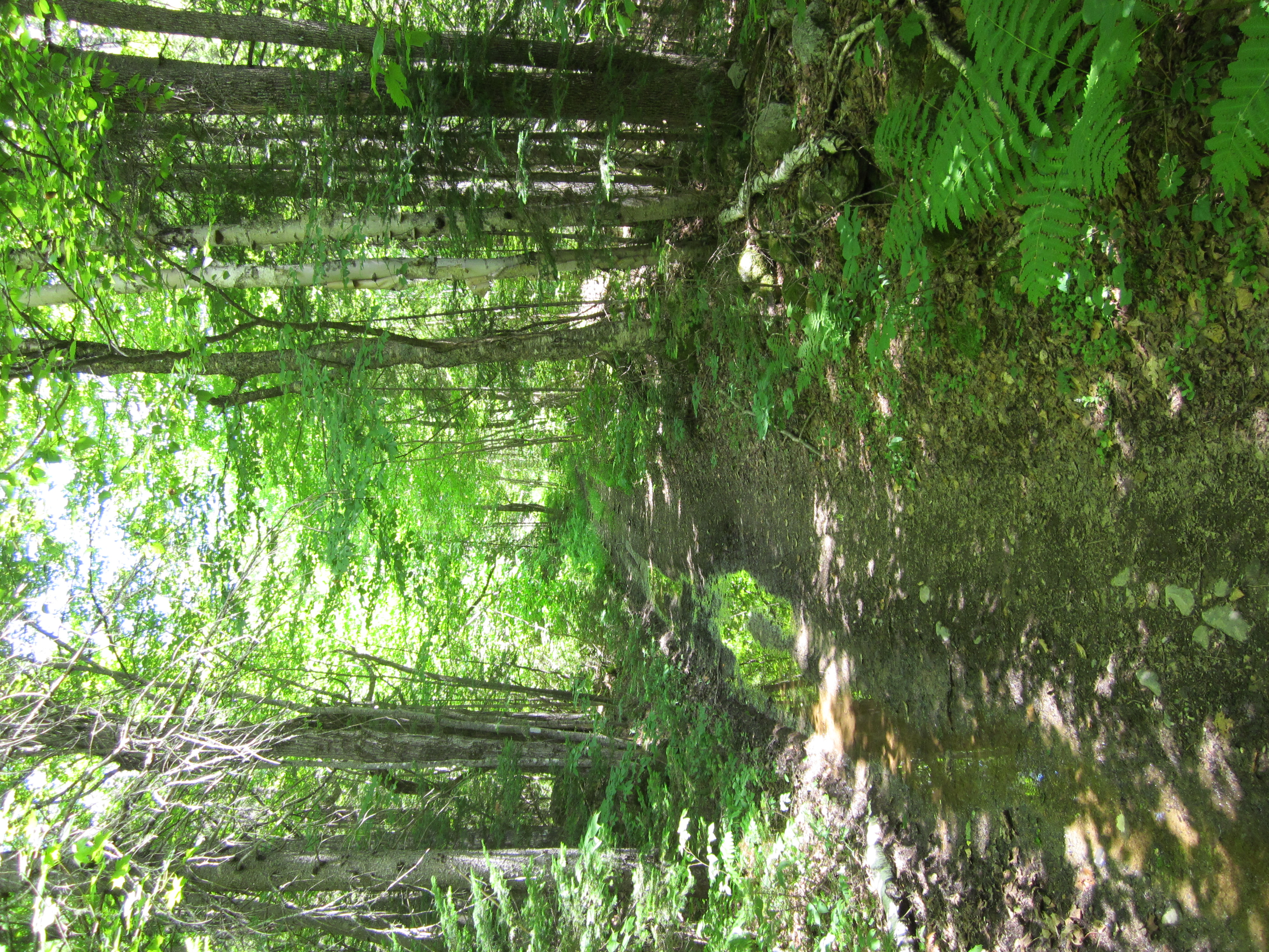
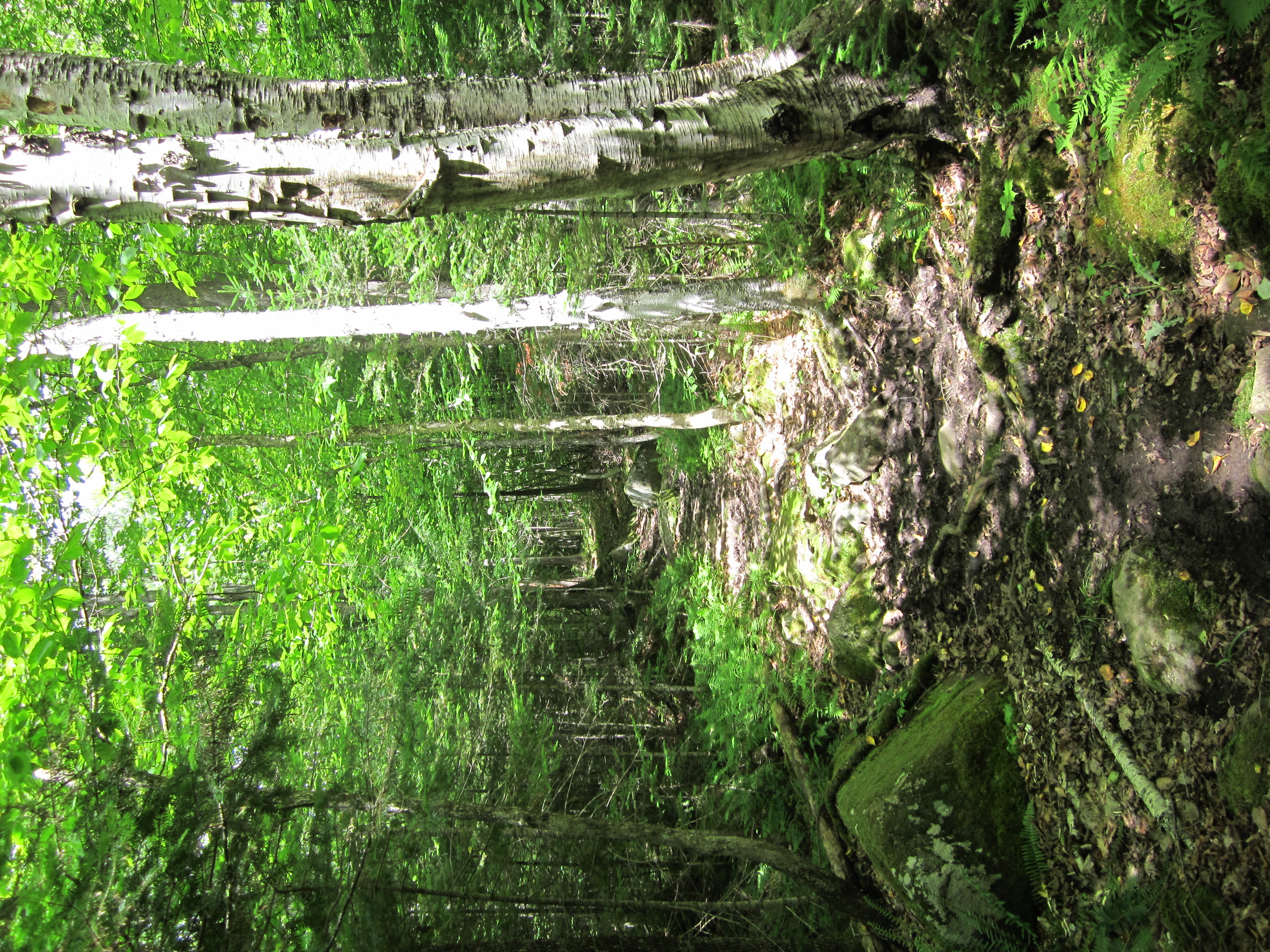
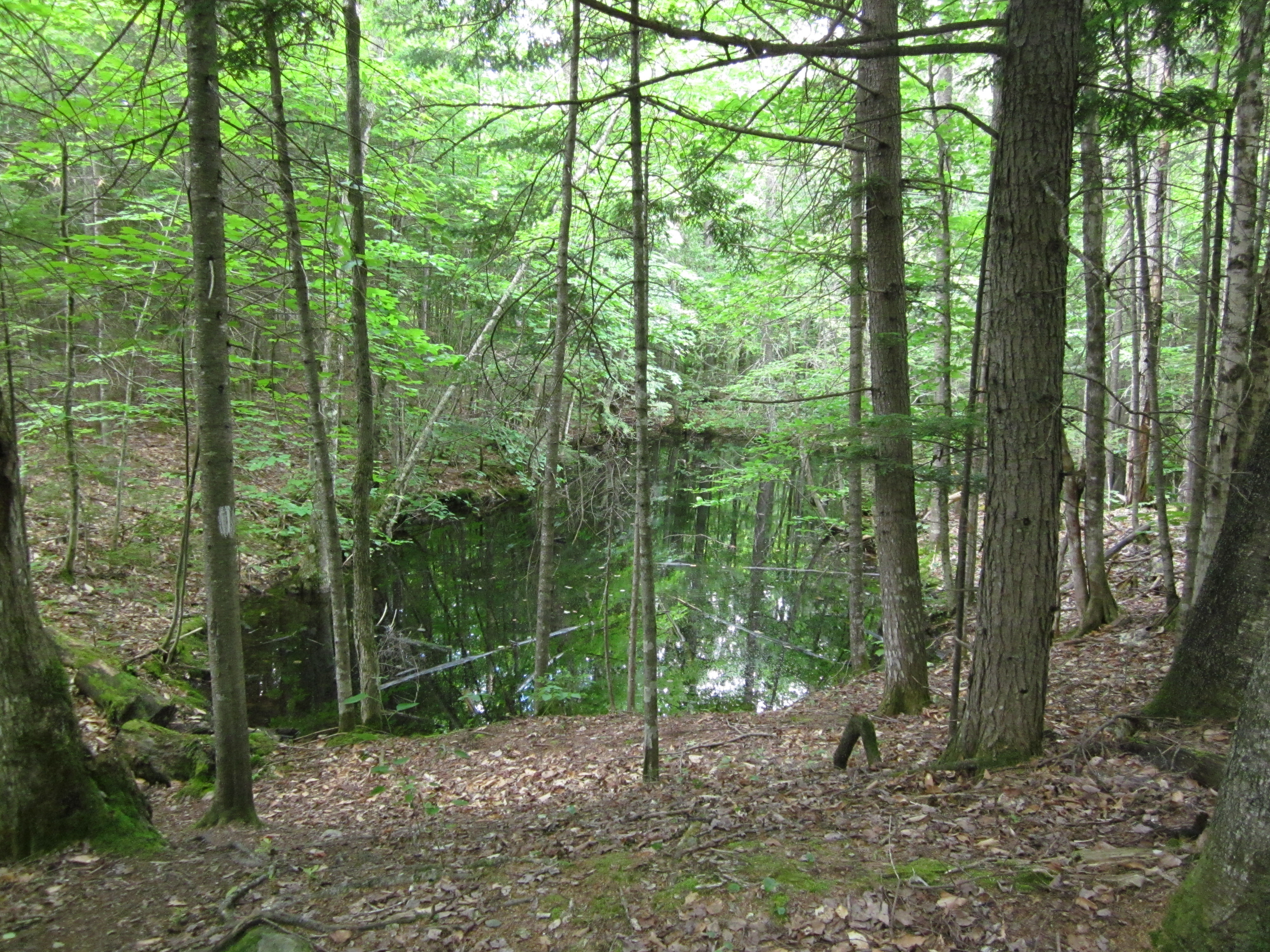
Old trail and detour past beaver pond

IMG_2085.JPG Original
1/60s f2.8 ISO400
Full size rotated image
Rotation angle: 90
Monday, July 2, 2012 5:27:11PM EDT
Tags: T
Appalachian Trail.
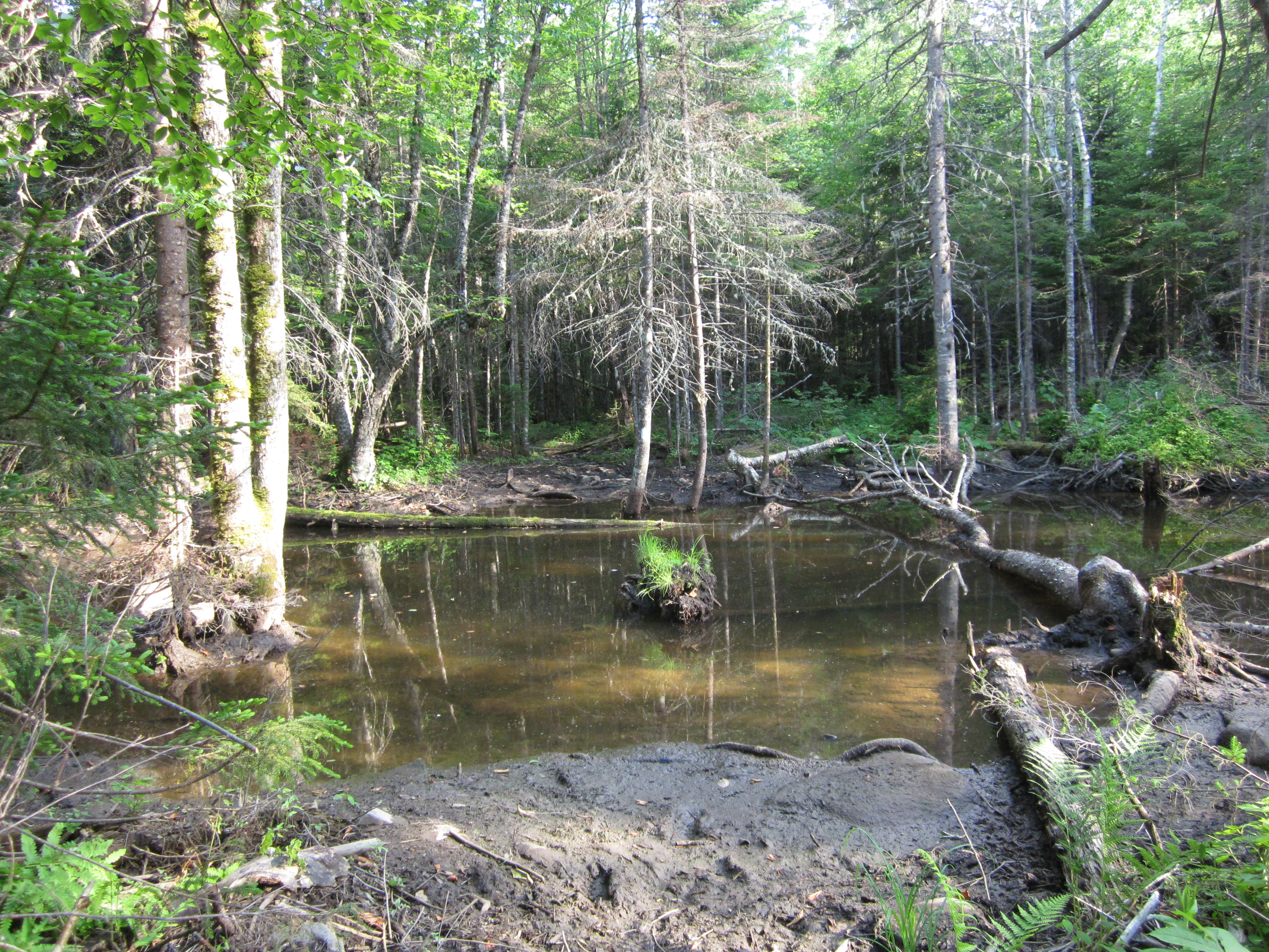
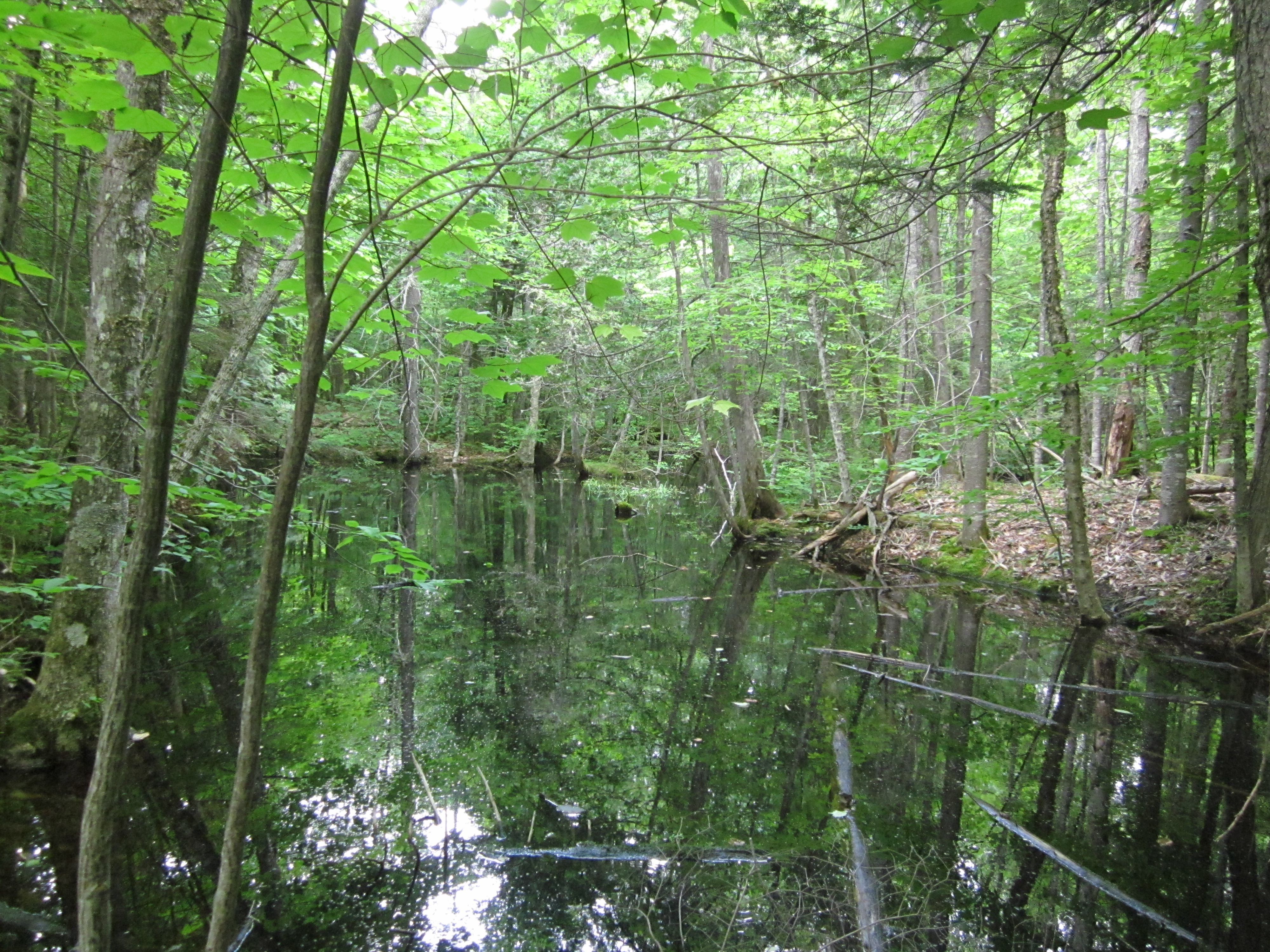
Beaver Pond

IMG_2084.JPG Original
1/60s f2.8 ISO200
Monday, July 2, 2012 5:26:53PM EDT
Tags: L
Lake seen from Appalachian Trail.

IMG_2083.JPG Original
1/80s f2.8 ISO100
Full size rotated image
Rotation angle: 90
Monday, July 2, 2012 5:06:45PM EDT
Tags: TR
River, brook, or creek.
Appalachian Trail.
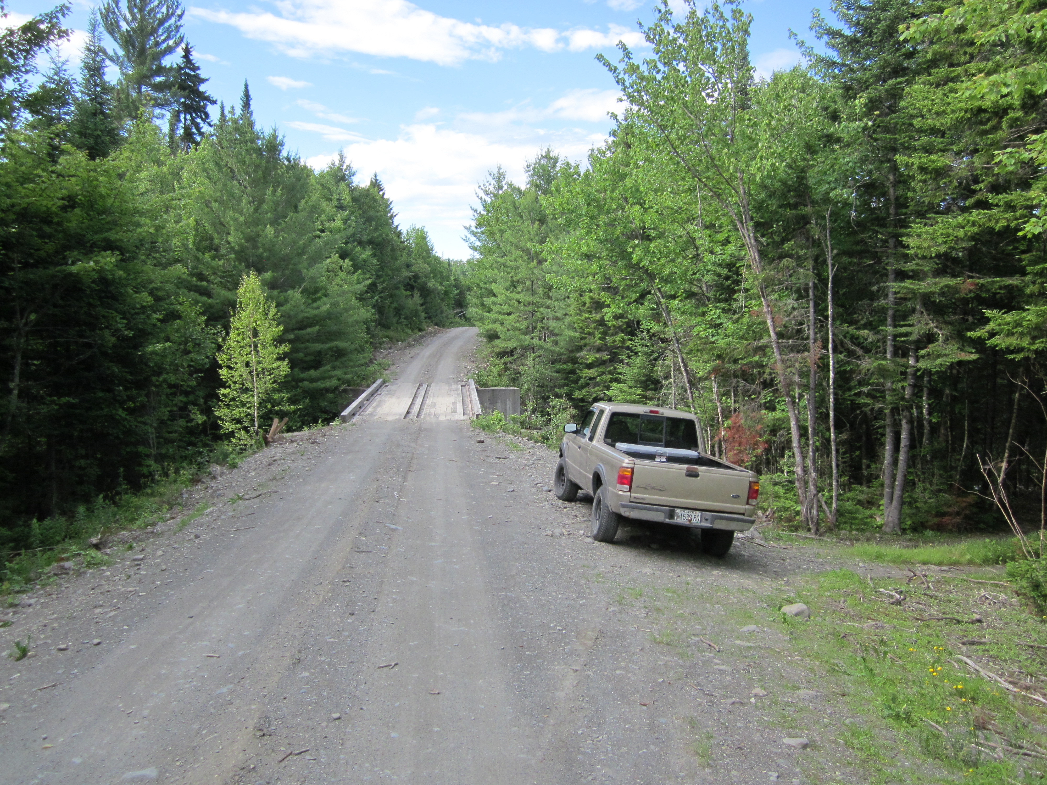
Road bridge over Bald Mountain Stream. Off trail

IMG_2082.JPG Original
1/640s f2.8 ISO100
Full size rotated image
Rotation angle: 90
Monday, July 2, 2012 5:06:21PM EDT
Tags: B
Bridge on the Appalachian Trail.
Road bridge over Bald Mountain Stream. Off trail

IMG_2081.JPG Original
1/320s f2.8 ISO160
Monday, July 2, 2012 5:06:06PM EDT
Tags: B
Bridge on the Appalachian Trail.
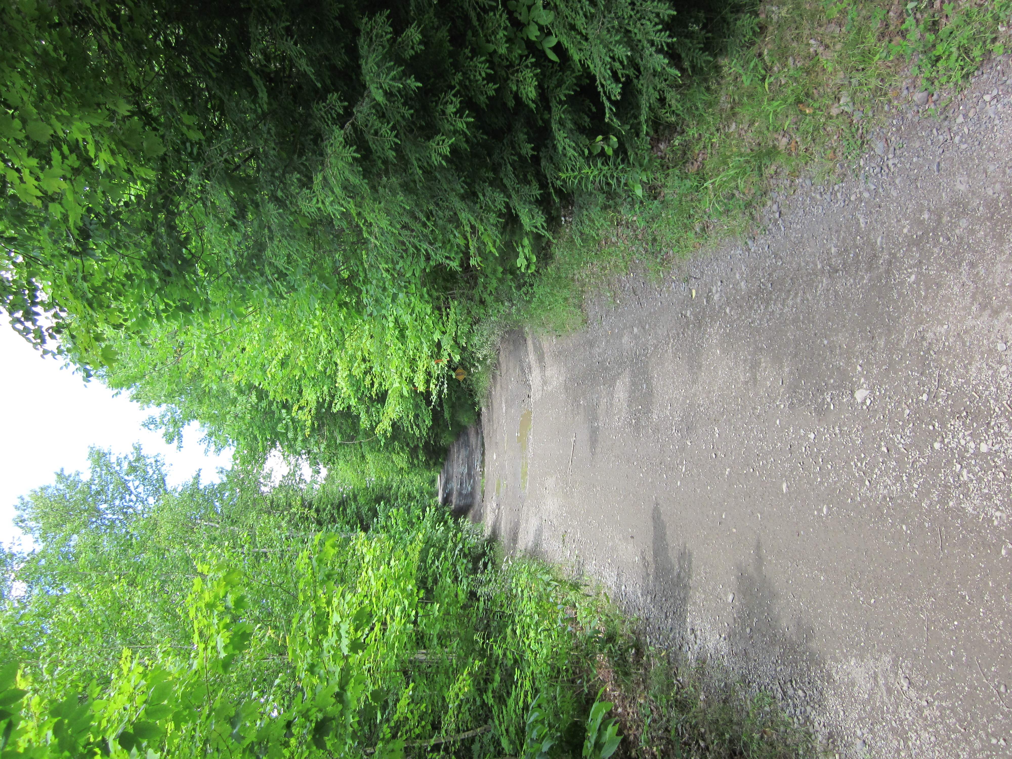
Unexpected road. Not on map.

IMG_2080.JPG Original
1/640s f2.8 ISO160
Monday, July 2, 2012 5:05:37PM EDT
Tags: O
Dirt, gravel, or logging road crossing the Appalachian Trail.

IMG_2079.JPG Original
1/50s f2.8 ISO400
Full size rotated image
Rotation angle: 90
Monday, July 2, 2012 5:05:10PM EDT
Tags: Z
Appalachian Trail with white blaze.

IMG_2078.JPG Original
1/60s f2.8 ISO200
Monday, July 2, 2012 5:05:05PM EDT
Tags: TO
Dirt, gravel, or logging road crossing the Appalachian Trail.
Appalachian Trail.

IMG_2077.JPG Original
1/400s f2.8 ISO160
Monday, July 2, 2012 4:39:36PM EDT
Tags: VC
Creek on Appalachian Trail.
View from Appalachian Trail

IMG_2076.JPG Original
1/60s f2.8 ISO100
Full size rotated image
Rotation angle: 90
Monday, July 2, 2012 4:39:13PM EDT
Tags: T
Appalachian Trail.

IMG_2075.JPG Original
1/320s f2.8 ISO160
Full size rotated image
Rotation angle: 90
Monday, July 2, 2012 4:39:00PM EDT
Tags: VC
Creek on Appalachian Trail.
View from Appalachian Trail

IMG_2074.JPG Original
1/50s f2.8 ISO400
Full size rotated image
Rotation angle: 90
Monday, July 2, 2012 4:24:28PM EDT
Tags: T
Appalachian Trail.
South side of ford

IMG_2073.JPG Original
1/200s f8 ISO160
Monday, July 2, 2012 4:09:35PM EDT
Tags: FRT
Ford crossing on the Appalachian Trail.
River, brook, or creek.
Appalachian Trail.
Ford of the West Branch Piscataquis River

IMG_2072.JPG Original
1/320s f8 ISO160
Full size rotated image
Rotation angle: 90
Monday, July 2, 2012 4:09:22PM EDT
Tags: FRT
Ford crossing on the Appalachian Trail.
River, brook, or creek.
Appalachian Trail.
Ford of the West Branch Piscataquis River

IMG_2071.JPG Original
1/1250s f2.8 ISO160
Monday, July 2, 2012 4:09:06PM EDT
Tags: FRT
Ford crossing on the Appalachian Trail.
River, brook, or creek.
Appalachian Trail.
Ford of the West Branch Piscataquis River with rope

IMG_2070.JPG Original
1/60s f2.8 ISO80
Monday, July 2, 2012 4:08:56PM EDT
Tags: FRT
Ford crossing on the Appalachian Trail.
River, brook, or creek.
Appalachian Trail.

IMG_2069.JPG Original
1/60s f2.8 ISO100
Monday, July 2, 2012 3:50:04PM EDT
Tags: Z
Appalachian Trail with white blaze.

IMG_2068.JPG Original
1/60s f2.8 ISO80
Full size rotated image
Rotation angle: 90
Monday, July 2, 2012 3:49:58PM EDT
Tags: T
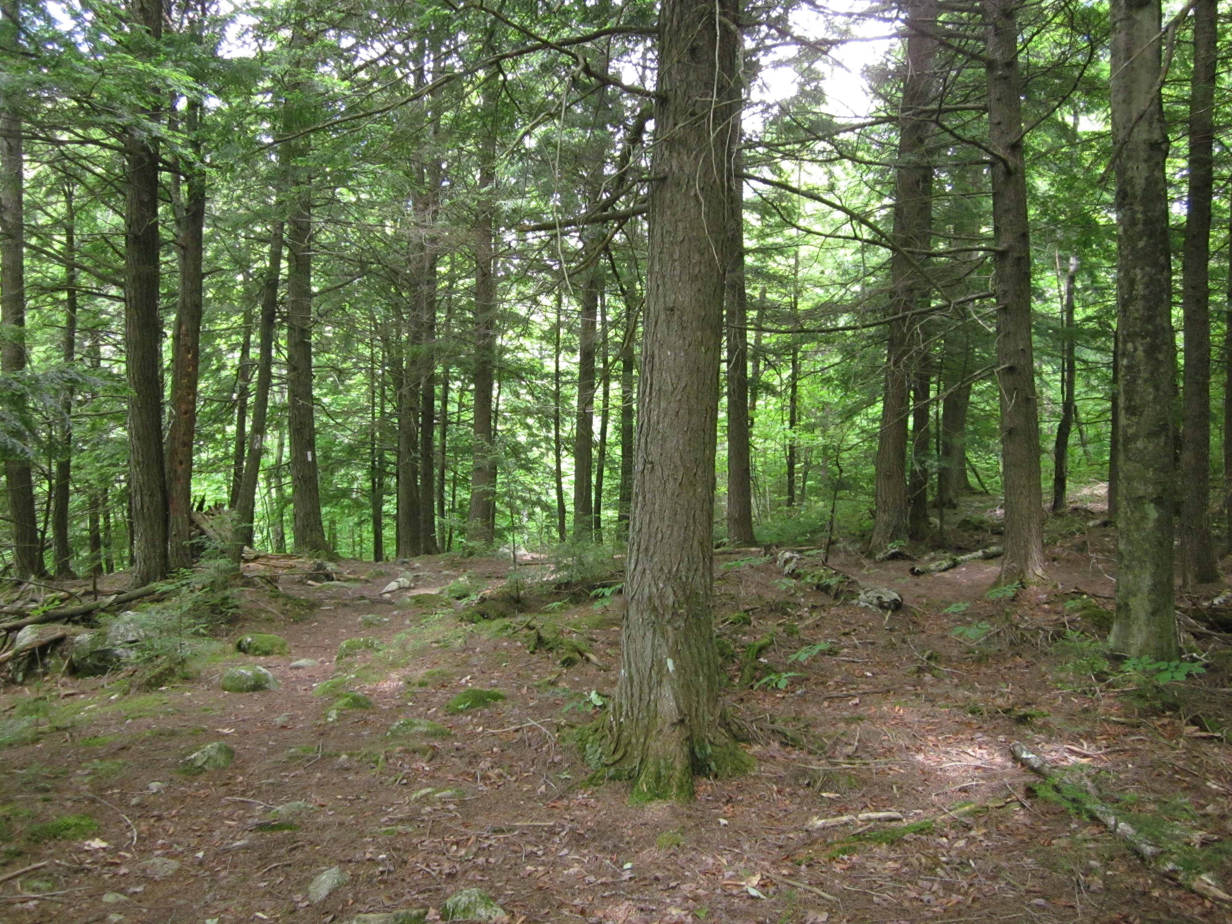
Appalachian Trail.

IMG_2067.JPG Original
1/60s f2.8 ISO160
Full size rotated image
Rotation angle: 90
Monday, July 2, 2012 3:49:50PM EDT
Tags: Z
Appalachian Trail with white blaze.

IMG_2066.JPG Original
1/60s f2.8 ISO80
Monday, July 2, 2012 3:20:16PM EDT
Tags: CR
Creek on Appalachian Trail.
River, brook, or creek.

IMG_2065.JPG Original
1/40s f2.8 ISO400
Full size rotated image
Rotation angle: 90
Monday, July 2, 2012 3:20:06PM EDT
Tags: C
Creek on Appalachian Trail.
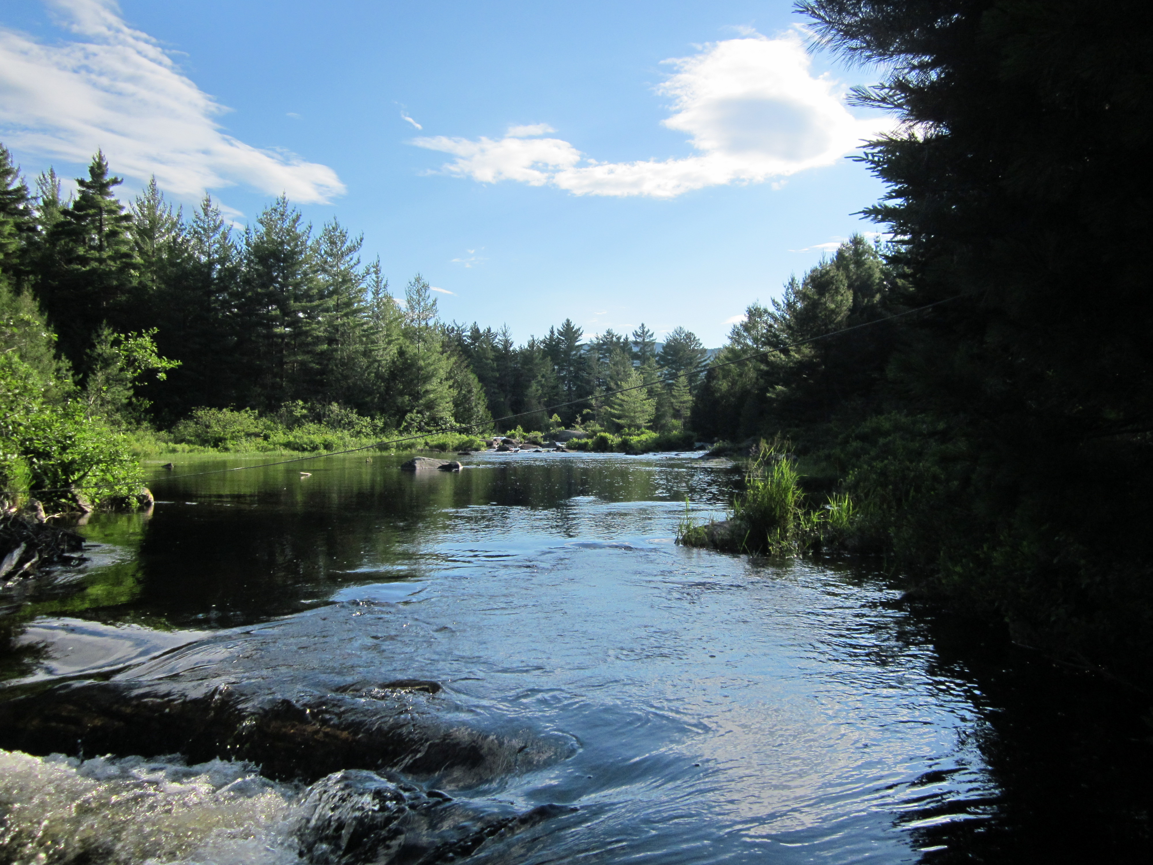
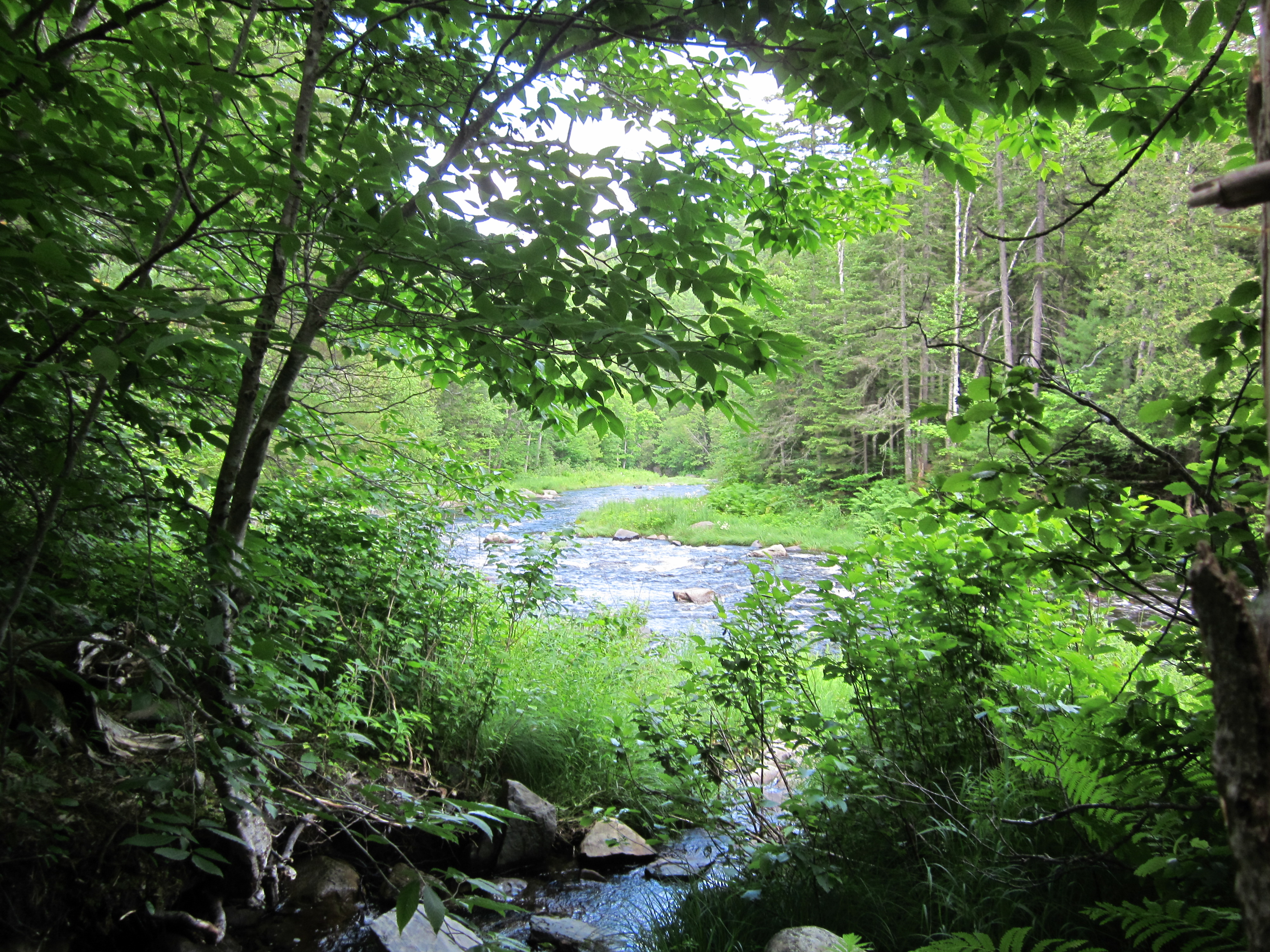
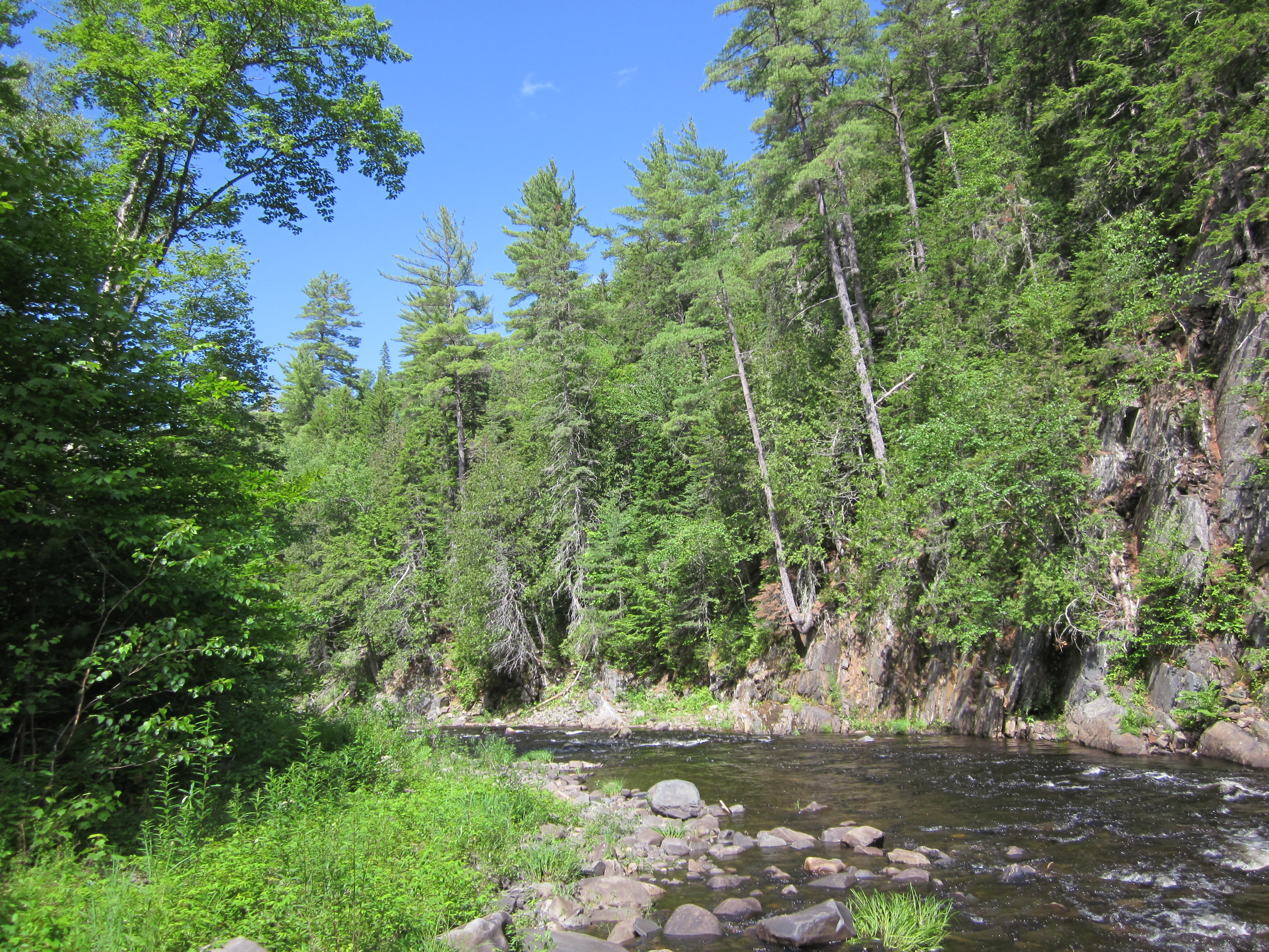
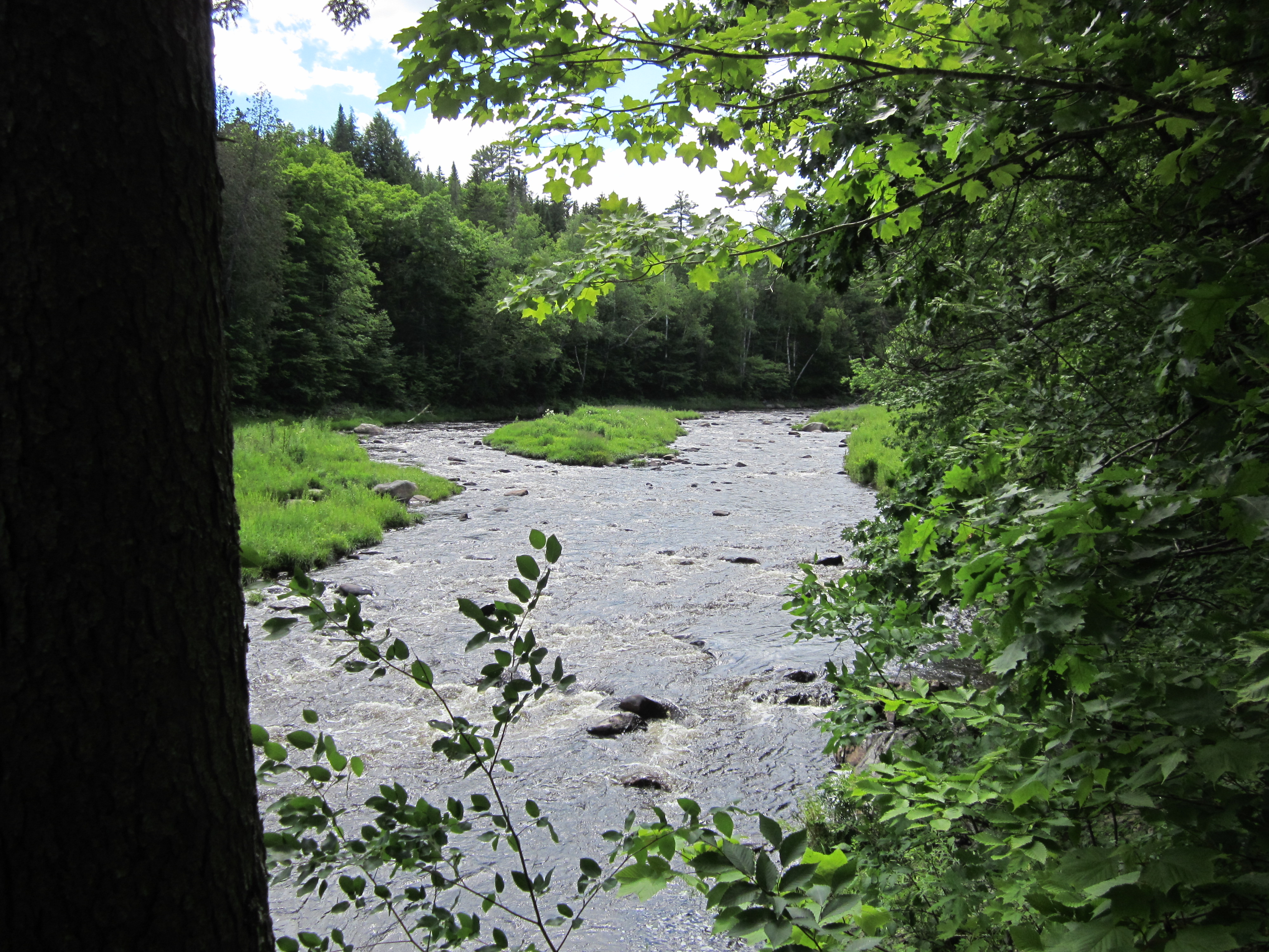
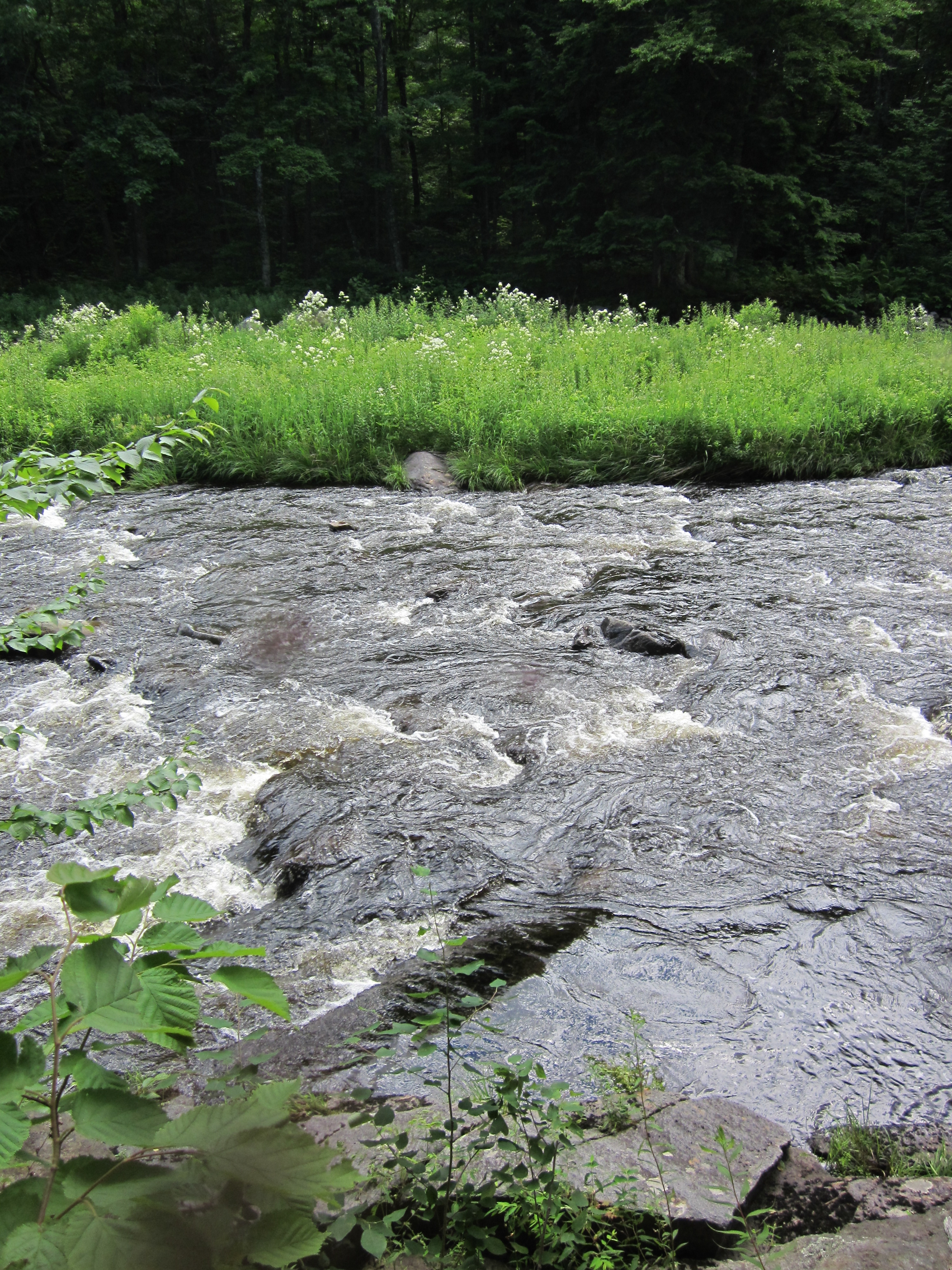
West Branch Piscataquis River

IMG_2064.JPG Original
1/250s f8 ISO160
Monday, July 2, 2012 3:13:10PM EDT
Tags: R
River, brook, or creek.
West Branch Piscataquis River

IMG_2063.JPG Original
1/500s f2.8 ISO80
Monday, July 2, 2012 3:12:55PM EDT
Tags: RV
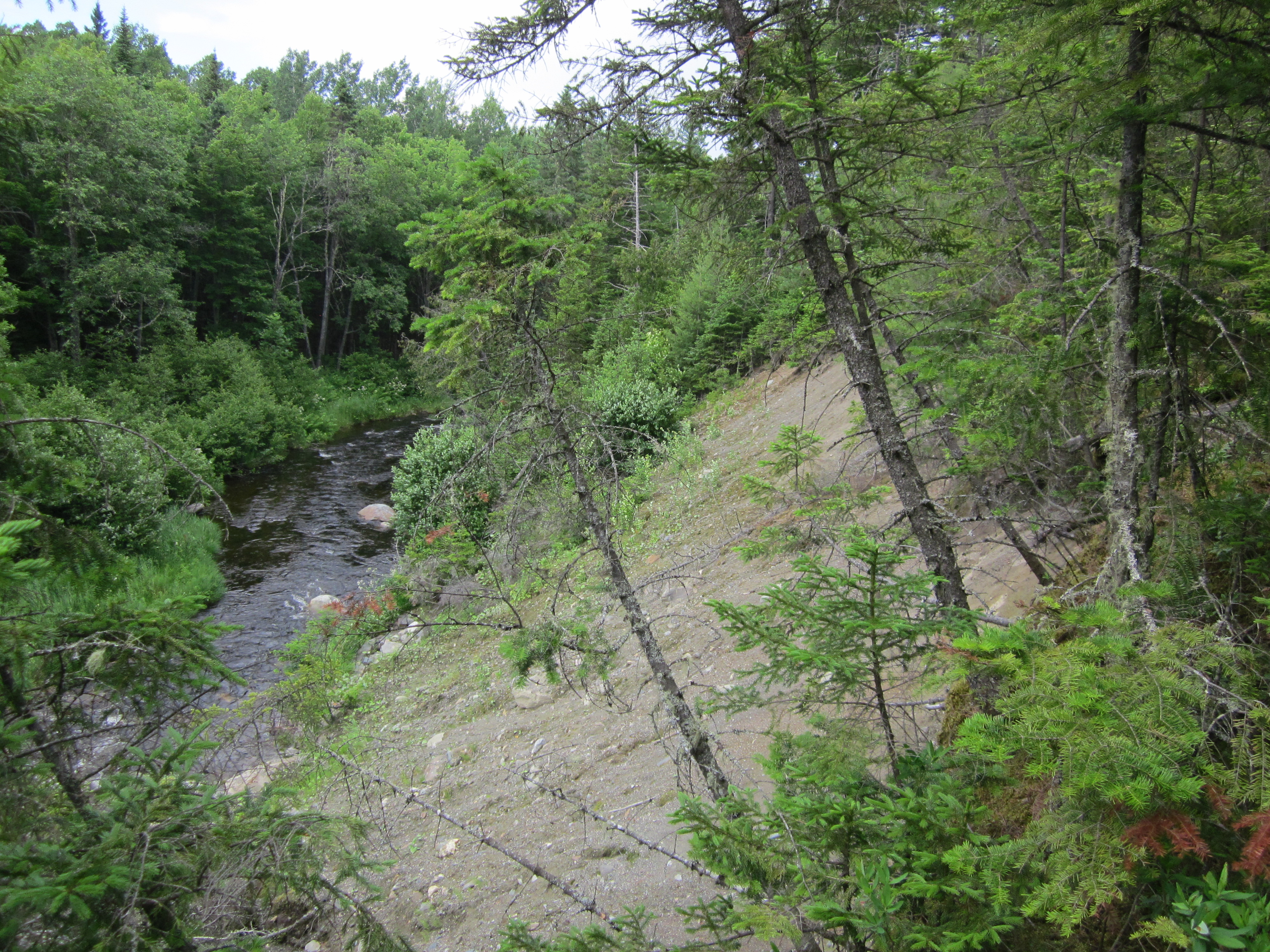
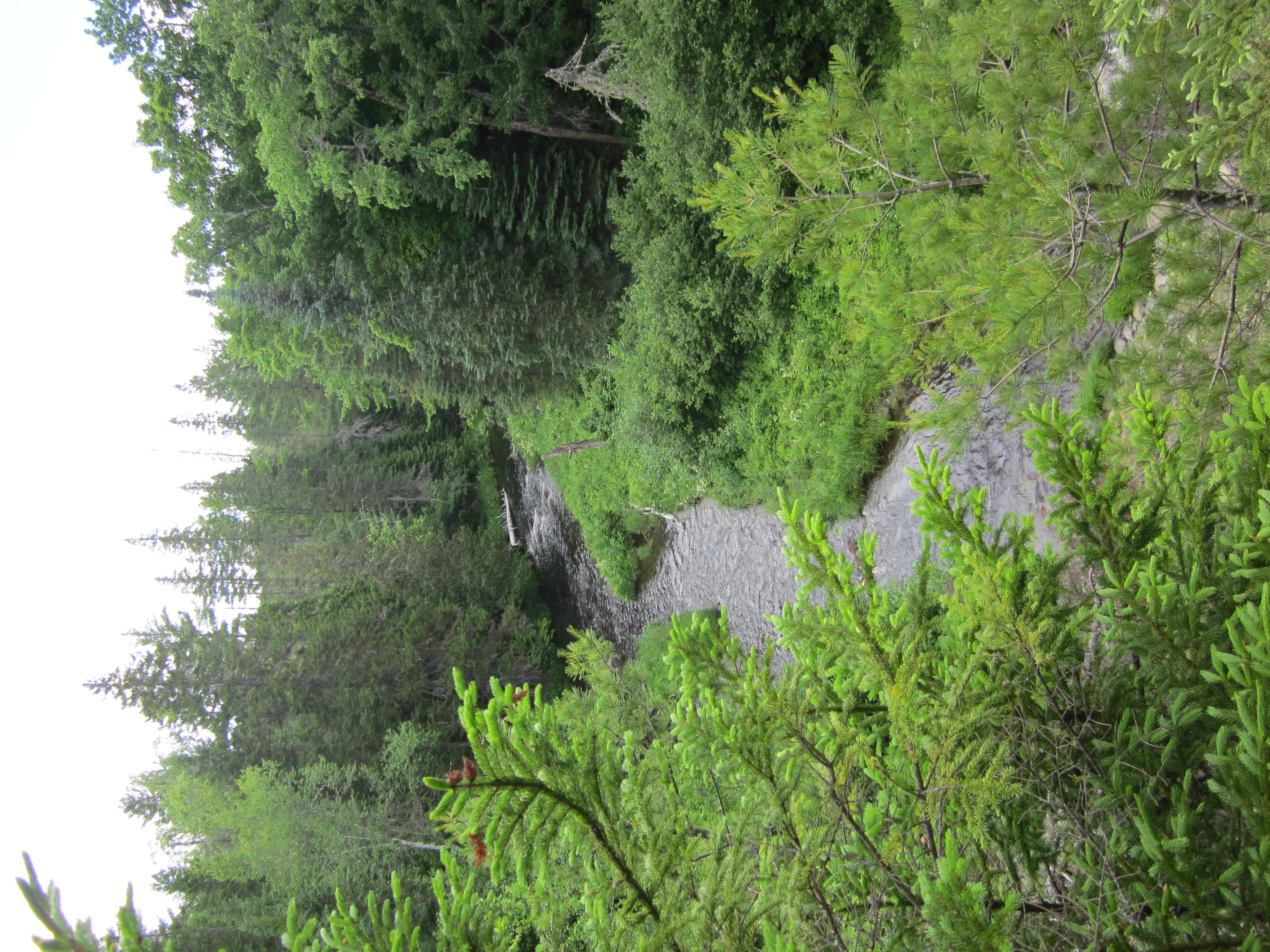
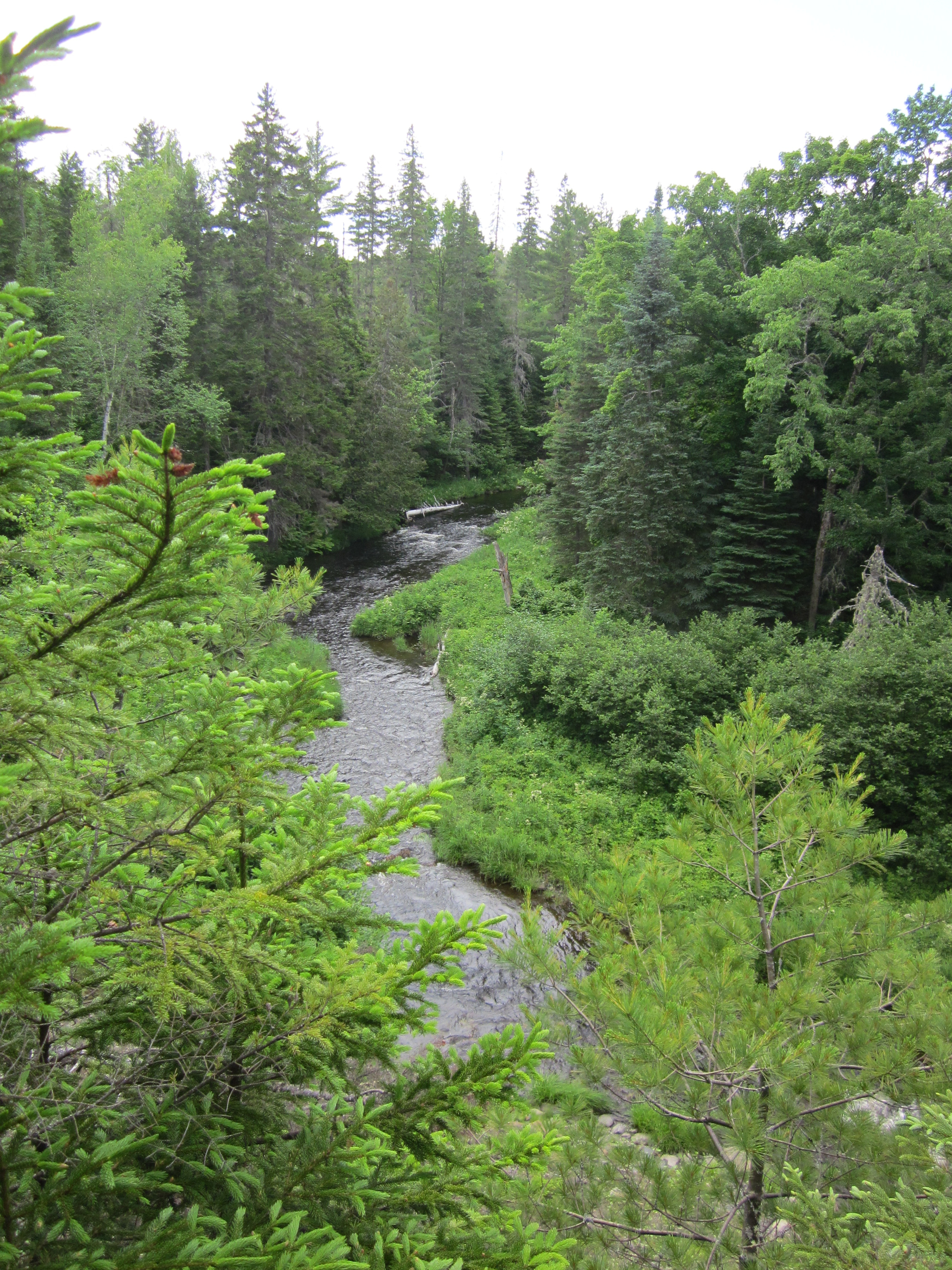
River, brook, or creek.
View from Appalachian Trail
West Branch Piscataquis River

IMG_2062.JPG Original
1/320s f2.8 ISO80
Full size rotated image
Rotation angle: 90
Monday, July 2, 2012 3:12:42PM EDT
Tags: RV
River, brook, or creek.
View from Appalachian Trail
West Branch Piscataquis River

IMG_2061.JPG Original
1/500s f2.8 ISO80
Monday, July 2, 2012 3:12:23PM EDT
Tags: RV
River, brook, or creek.
View from Appalachian Trail

IMG_2060.JPG Original
1/50s f2.8 ISO400
Full size rotated image
Rotation angle: 90
Monday, July 2, 2012 3:04:27PM EDT
Tags: T
Appalachian Trail.
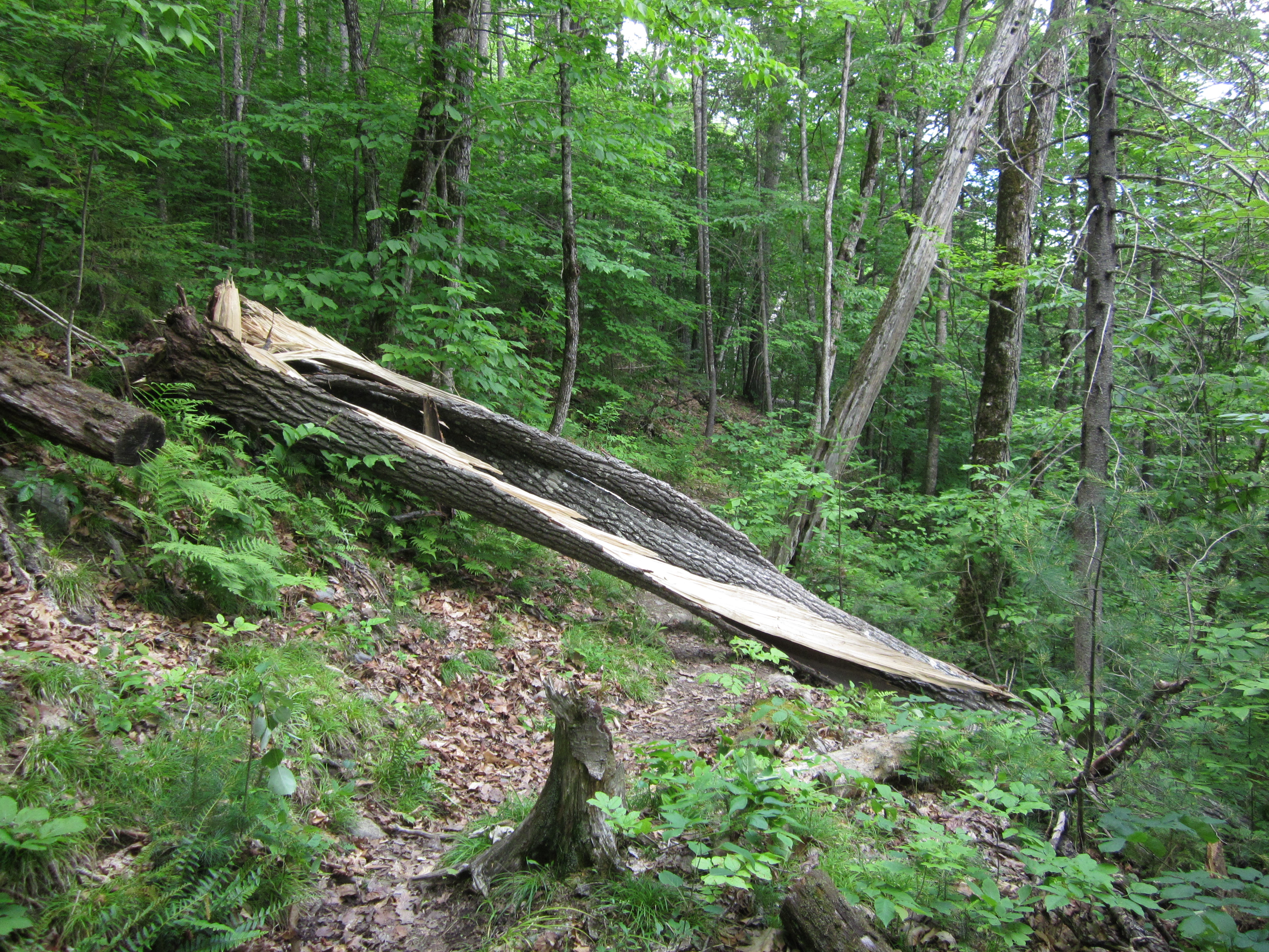
Split tree

IMG_2059.JPG Original
1/60s f2.8 ISO160
Monday, July 2, 2012 3:04:21PM EDT
Tags: T
Appalachian Trail.

IMG_2058.JPG Original
1/100s f2.8 ISO125
Monday, July 2, 2012 2:58:03PM EDT
Tags: TRV
River, brook, or creek.
Appalachian Trail.
View from Appalachian Trail

IMG_2057.JPG Original
1/60s f2.8 ISO160
Full size rotated image
Rotation angle: 90
Monday, July 2, 2012 2:57:53PM EDT
Tags: T
Appalachian Trail.

IMG_2056.JPG Original
1/60s f2.8 ISO200
Full size rotated image
Rotation angle: 90
Monday, July 2, 2012 2:57:45PM EDT
Tags: T
Appalachian Trail.
West Branch Piscataquis River

IMG_2055.JPG Original
1/640s f2.8 ISO80
Monday, July 2, 2012 2:57:37PM EDT
Tags: V
View from Appalachian Trail
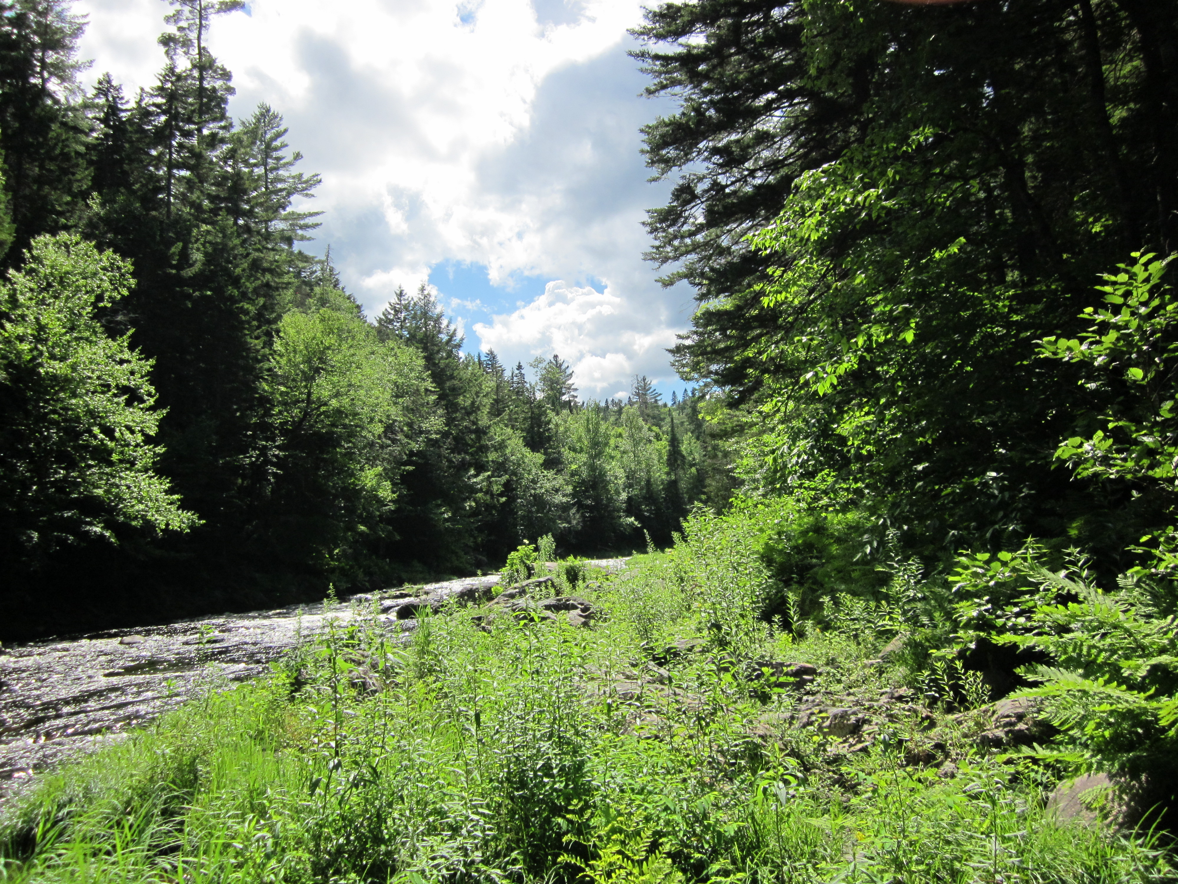
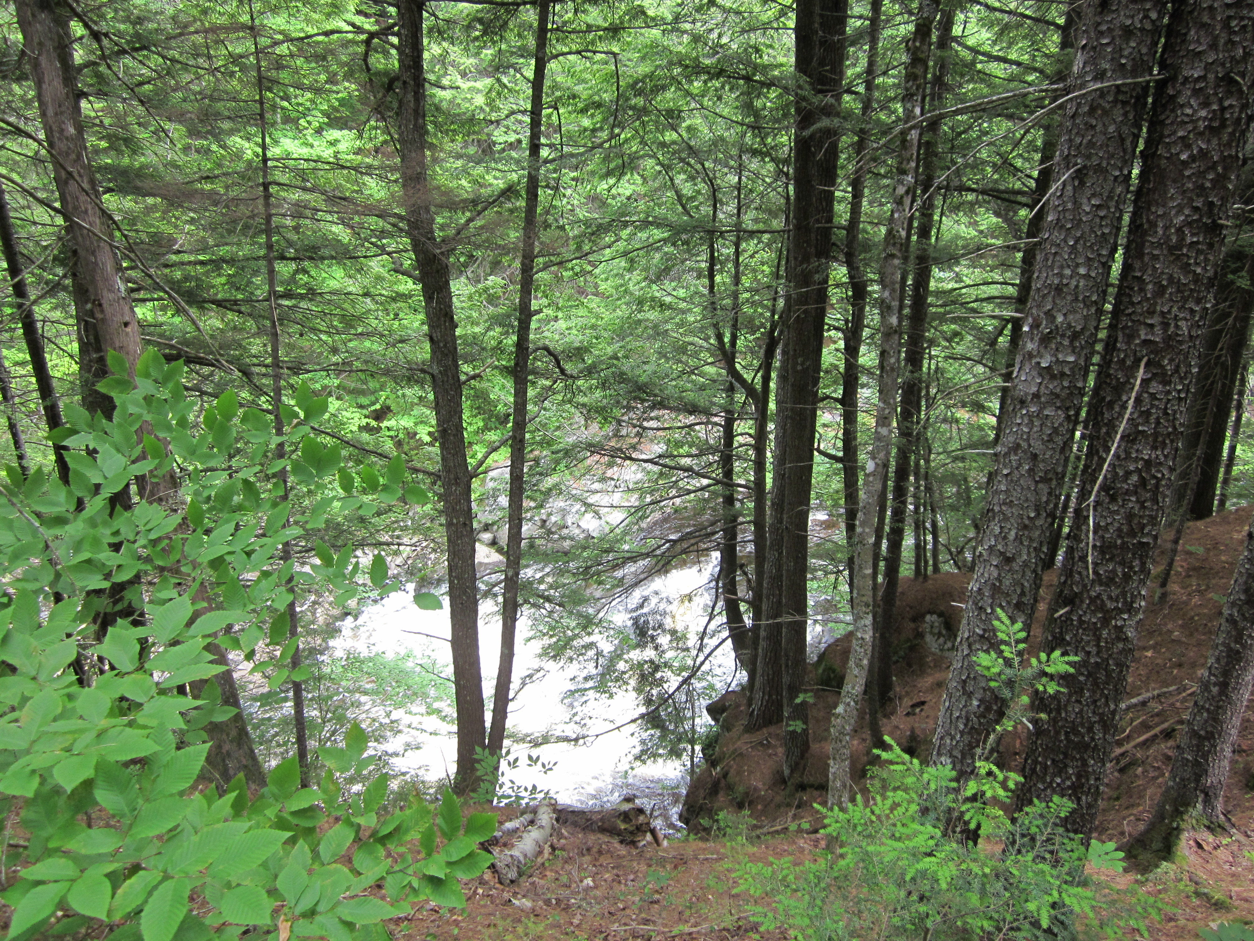
West Branch Piscataquis River

IMG_2054.JPG Original
1/640s f2.8 ISO80
Monday, July 2, 2012 2:40:58PM EDT
Tags: V
View from Appalachian Trail
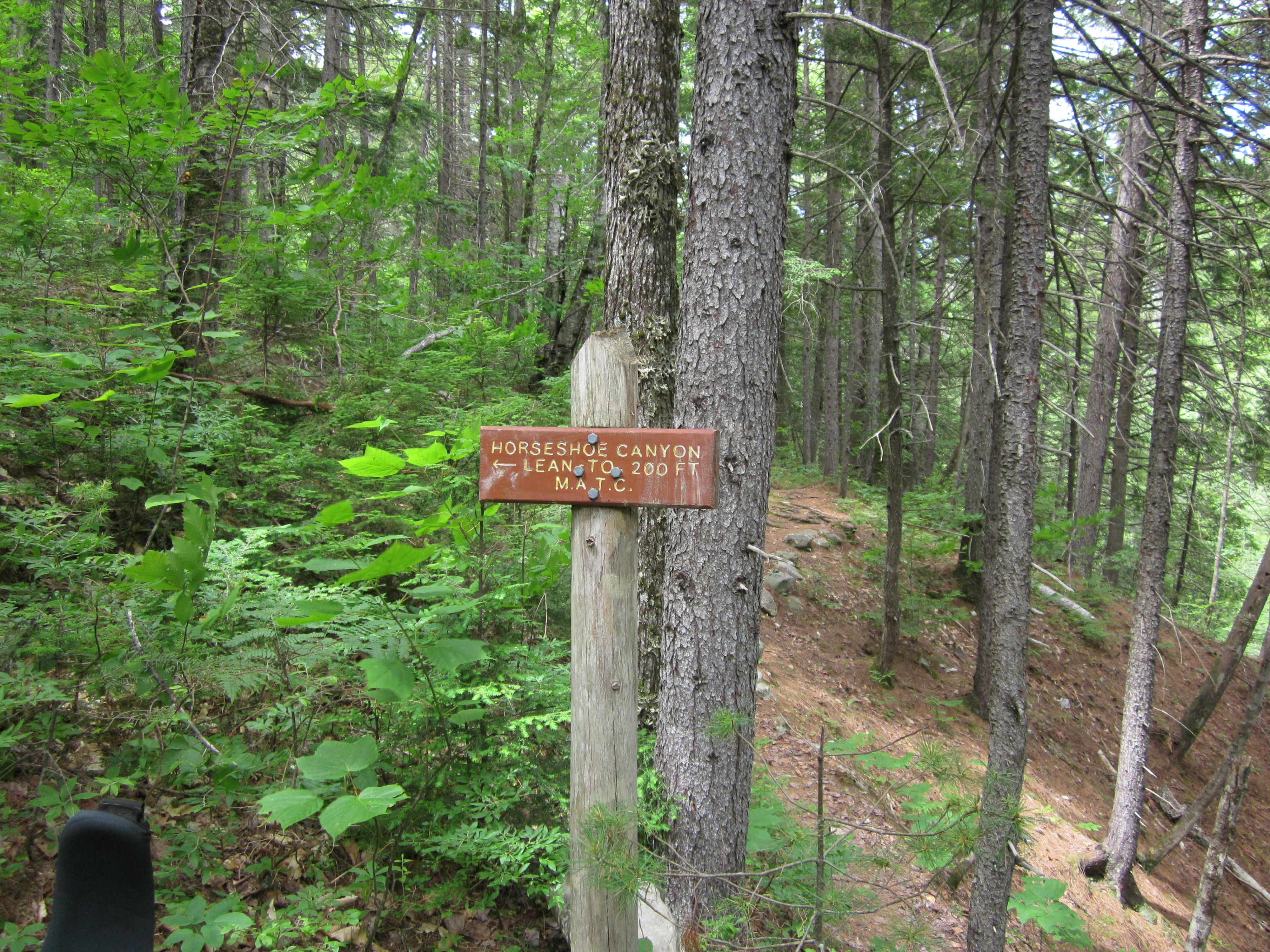
Horseshoe Canyon Lean-to sign (North end)
")
IMG_2053.JPG Original
1/60s f2.8 ISO160
Monday, July 2, 2012 2:26:29PM EDT
Tags: ST
Appalachian Trail sign.
Appalachian Trail.
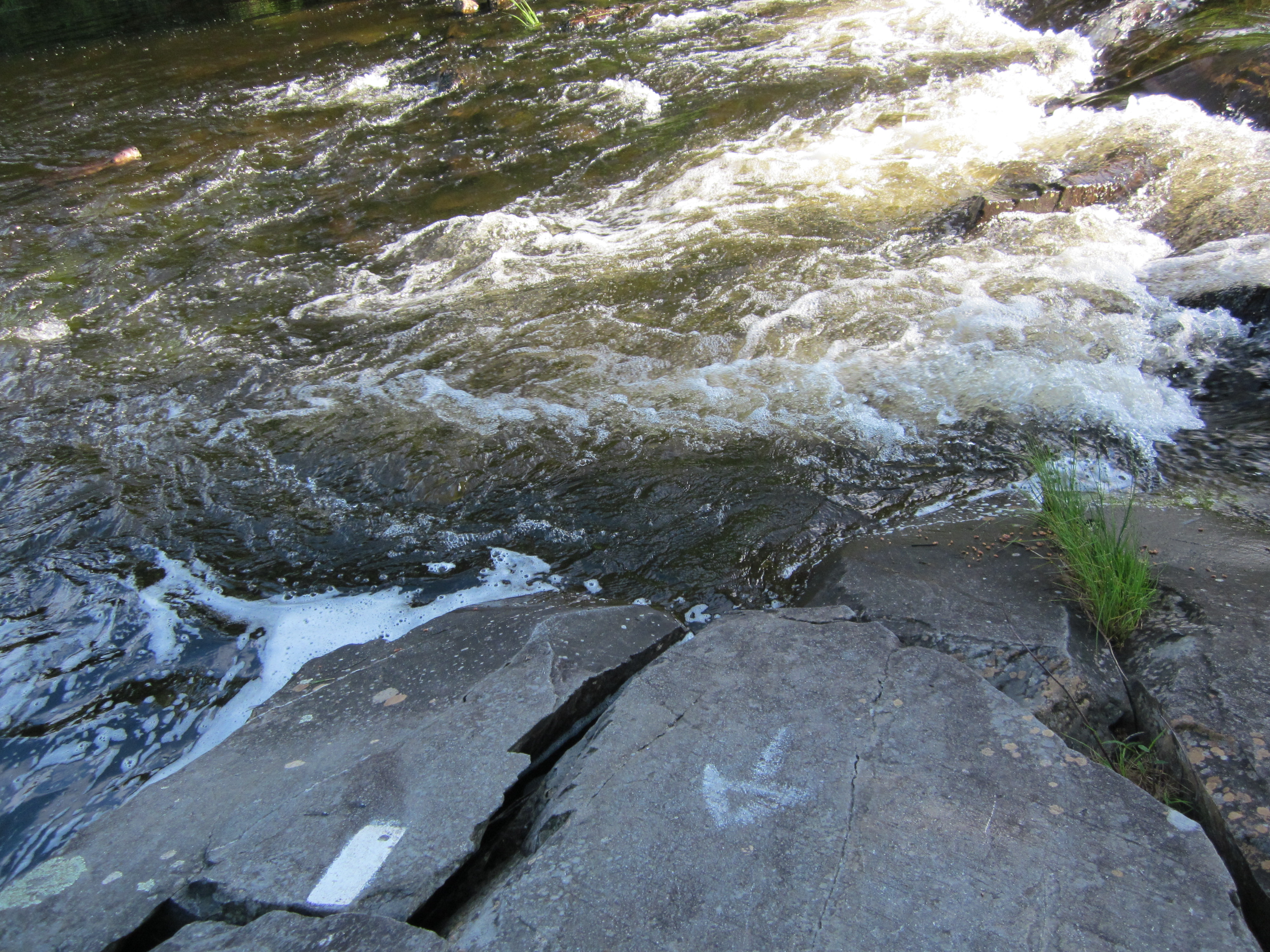
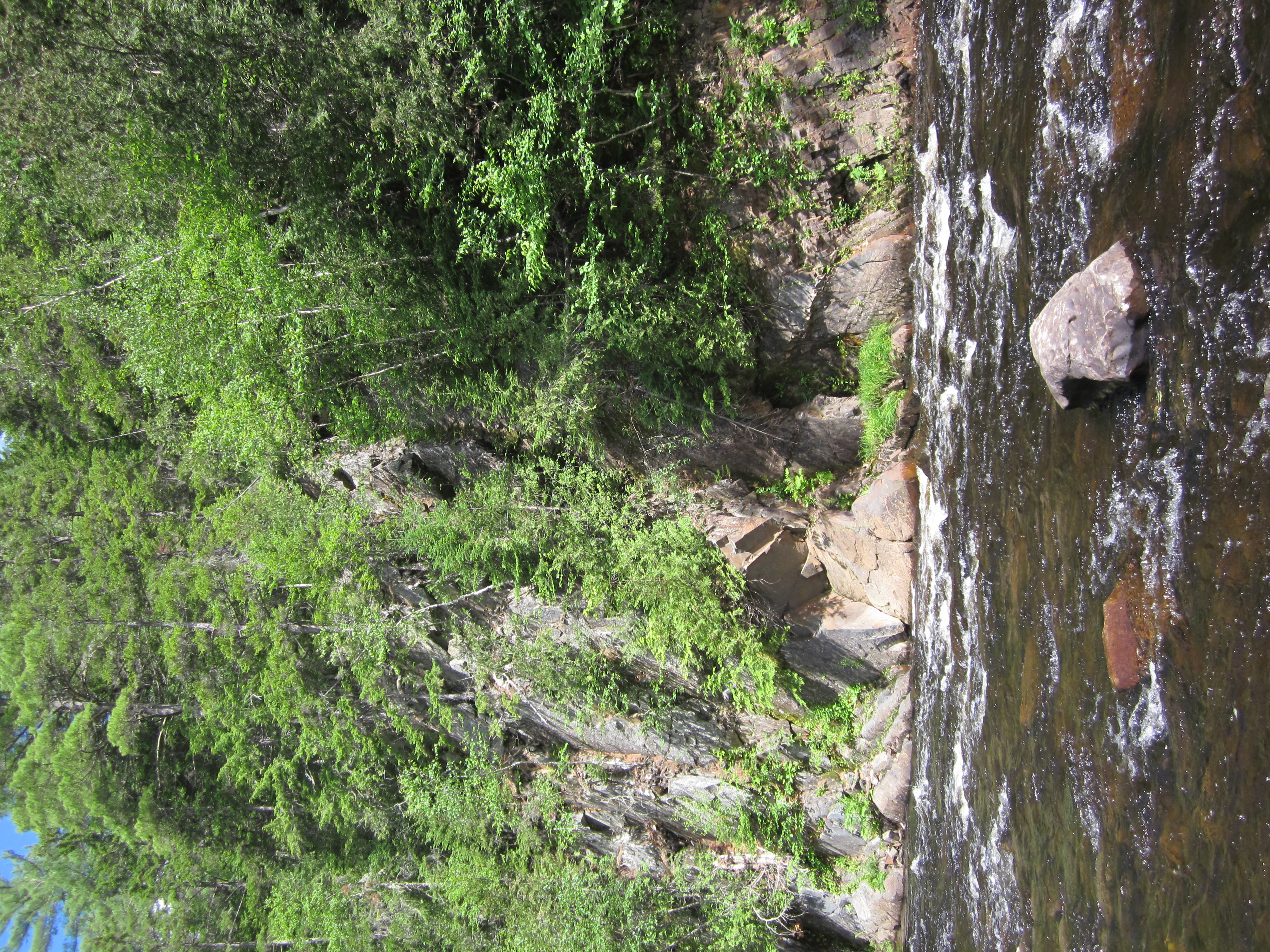
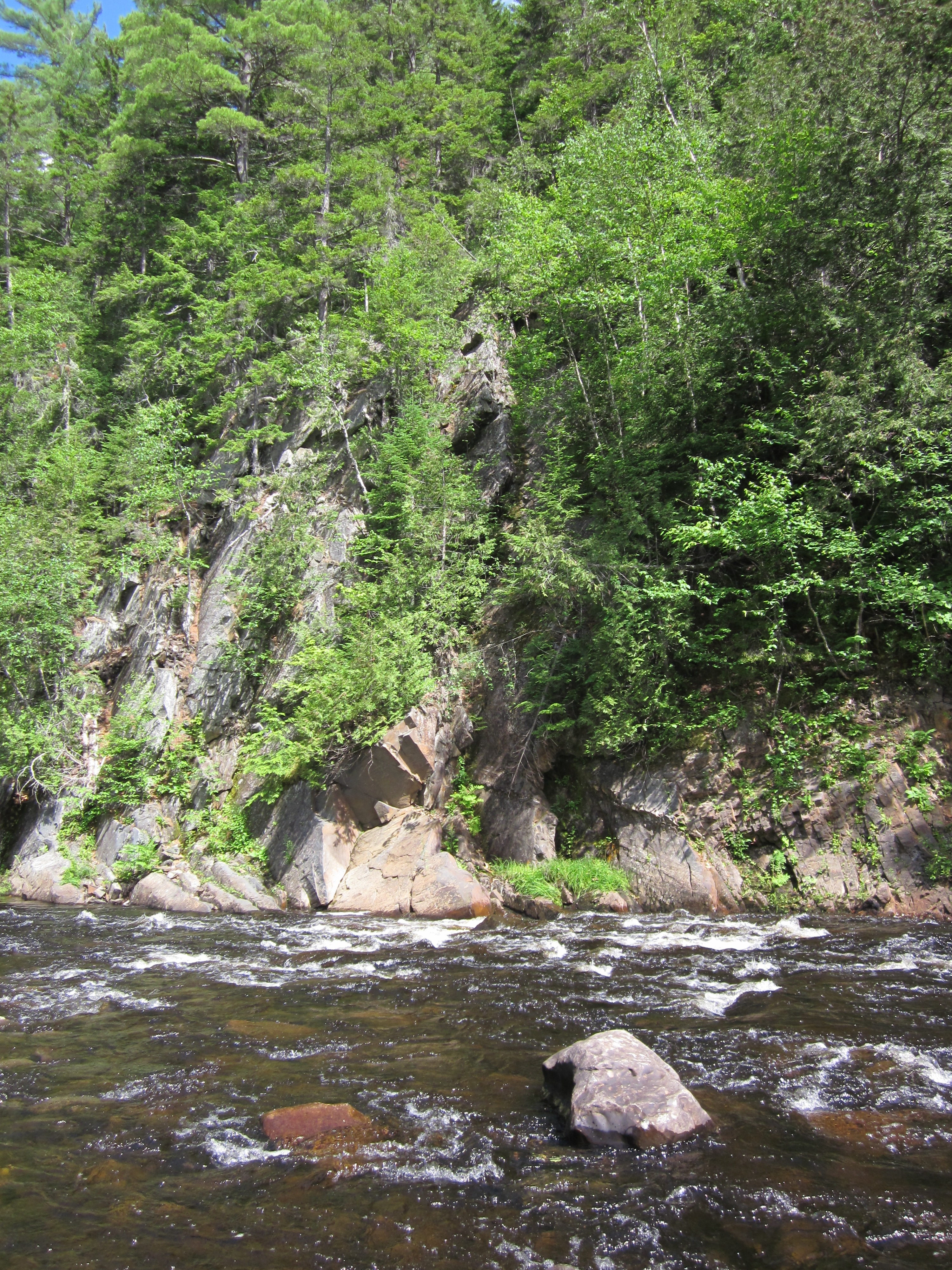
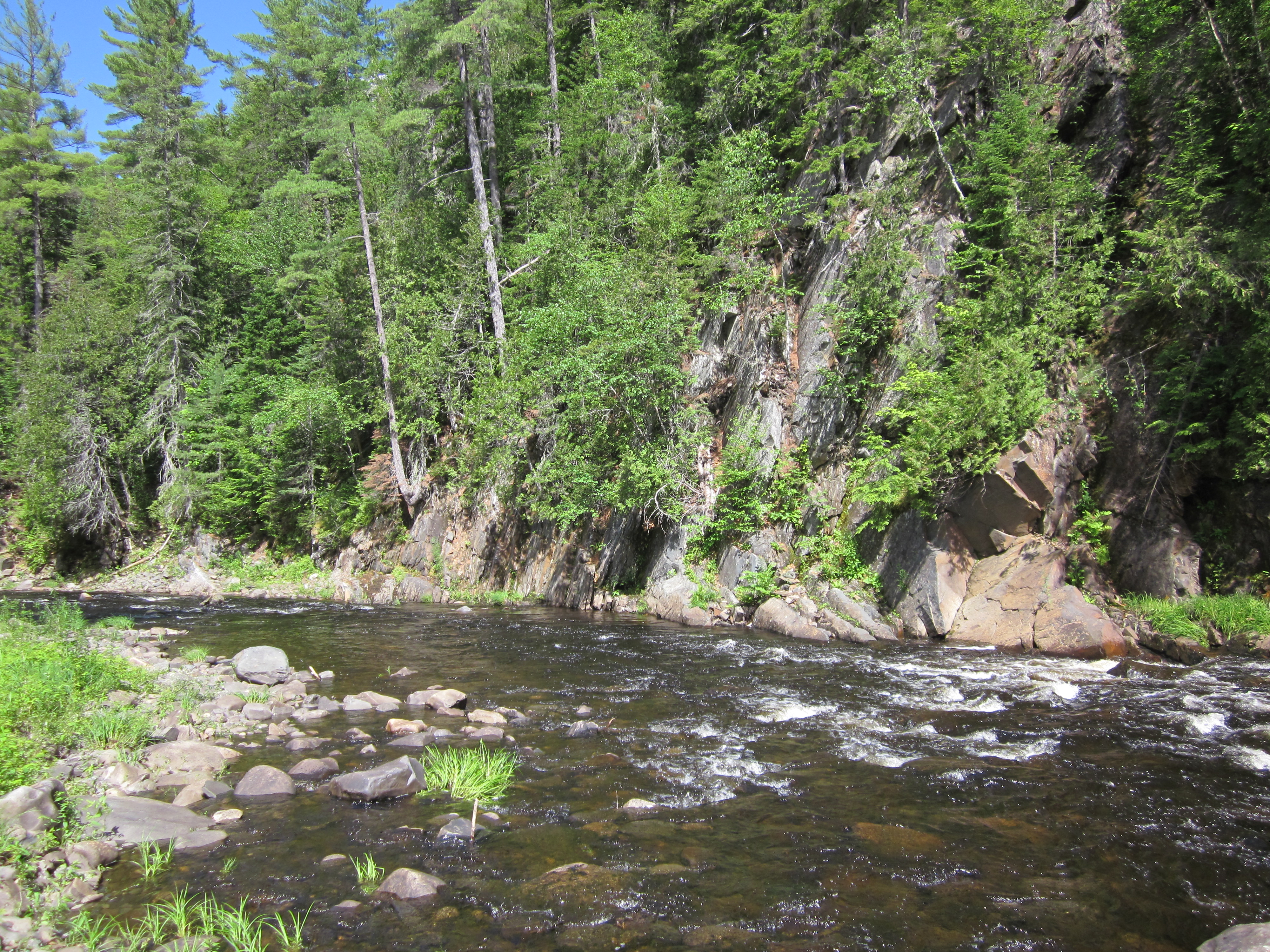
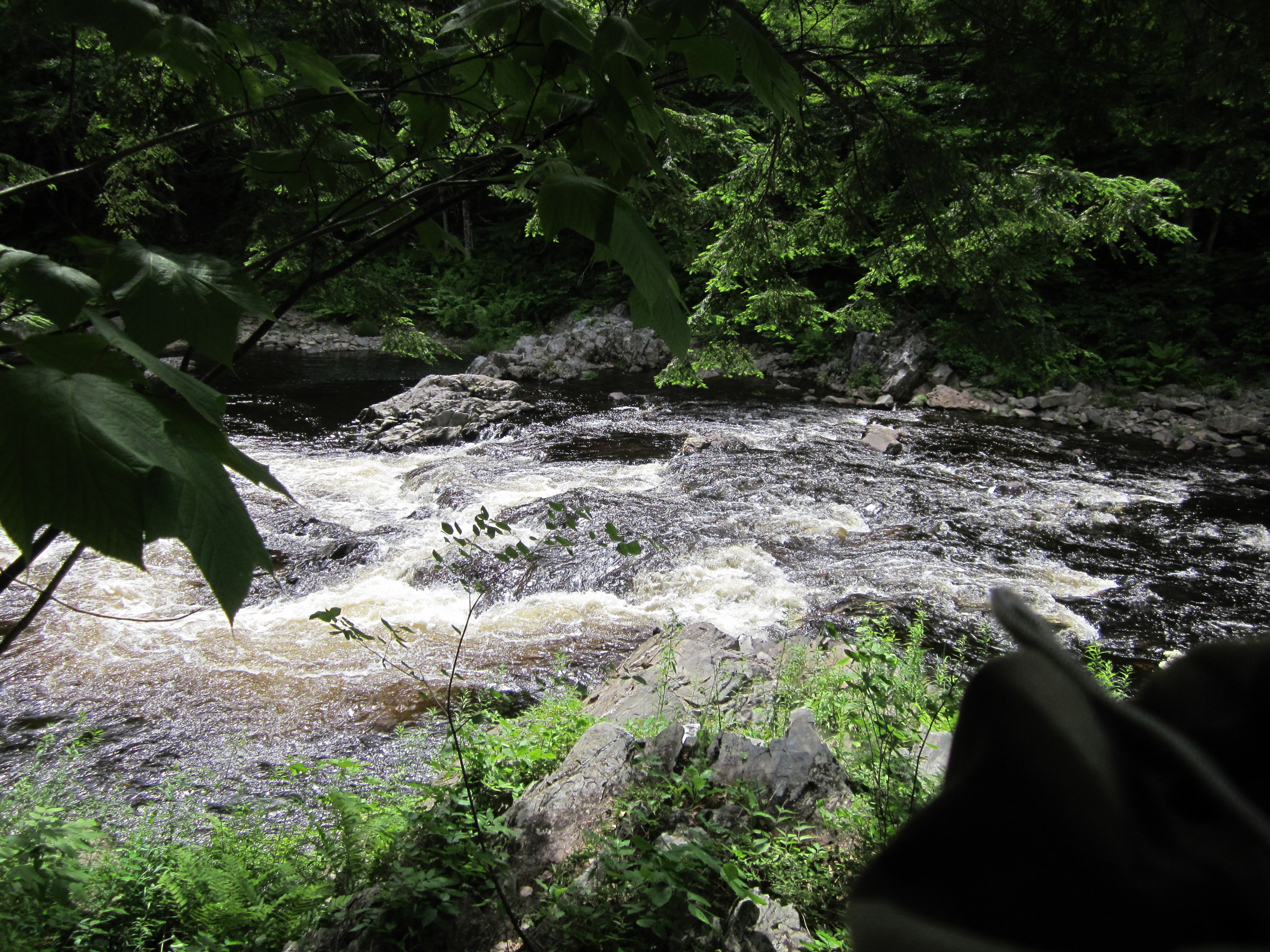
Falls on West Branch Piscataquis River

IMG_2052.JPG Original
1/125s f4.5 ISO100
Monday, July 2, 2012 2:25:28PM EDT
Tags: V
View from Appalachian Trail
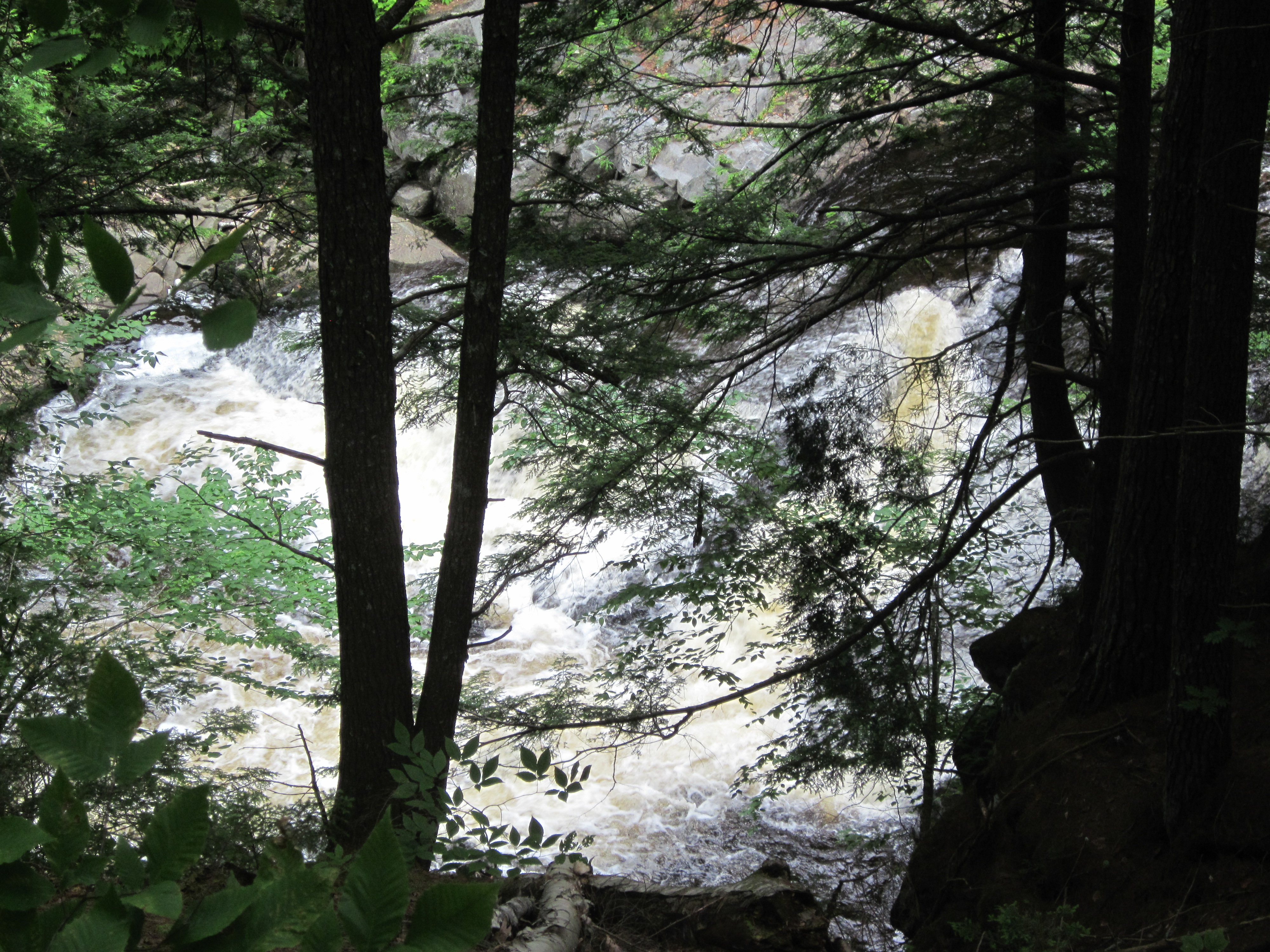
Falls on West Branch Piscataquis River

IMG_2051.JPG Original
1/60s f2.8 ISO125
Monday, July 2, 2012 2:25:14PM EDT
Tags: V
View from Appalachian Trail

IMG_2050.JPG Original
1/60s f2.8 ISO400
Full size rotated image
Rotation angle: 90
Monday, July 2, 2012 2:23:24PM EDT
Tags: T
Appalachian Trail.

IMG_2049.JPG Original
1/60s f2.8 ISO250
Monday, July 2, 2012 2:23:13PM EDT
Tags: RT
River, brook, or creek.
Appalachian Trail.

IMG_2048.JPG Original
1/60s f2.8 ISO160
Full size rotated image
Rotation angle: 90
Monday, July 2, 2012 2:23:04PM EDT
Tags: R
River, brook, or creek.

IMG_2047.JPG Original
1/25s f2.8 ISO400
Monday, July 2, 2012 2:13:41PM EDT
Tags: CV
Creek on Appalachian Trail.
View from Appalachian Trail

IMG_2046.JPG Original
1/60s f2.8 ISO100
Monday, July 2, 2012 2:11:20PM EDT
Tags: RT
River, brook, or creek.
Appalachian Trail.
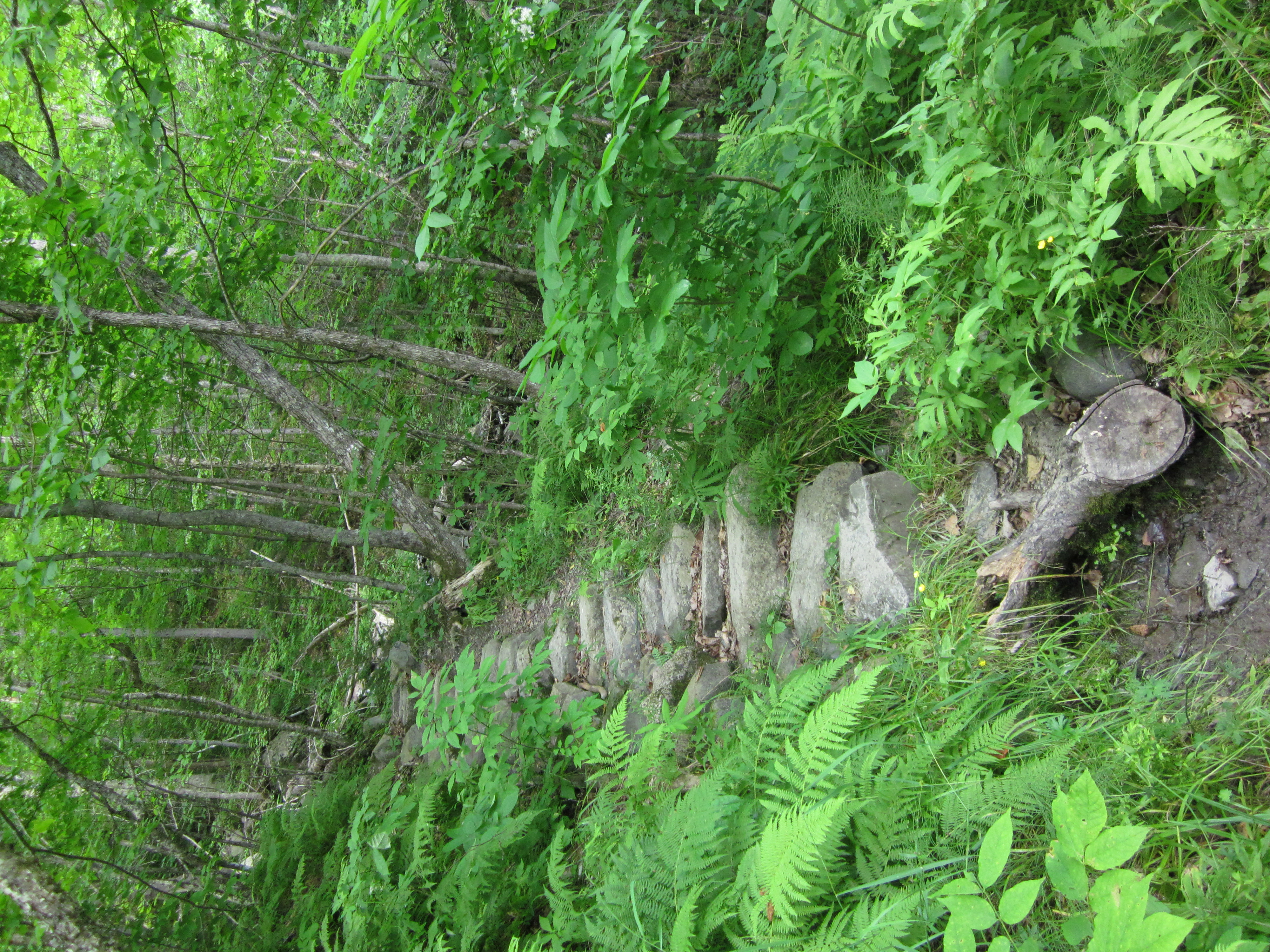
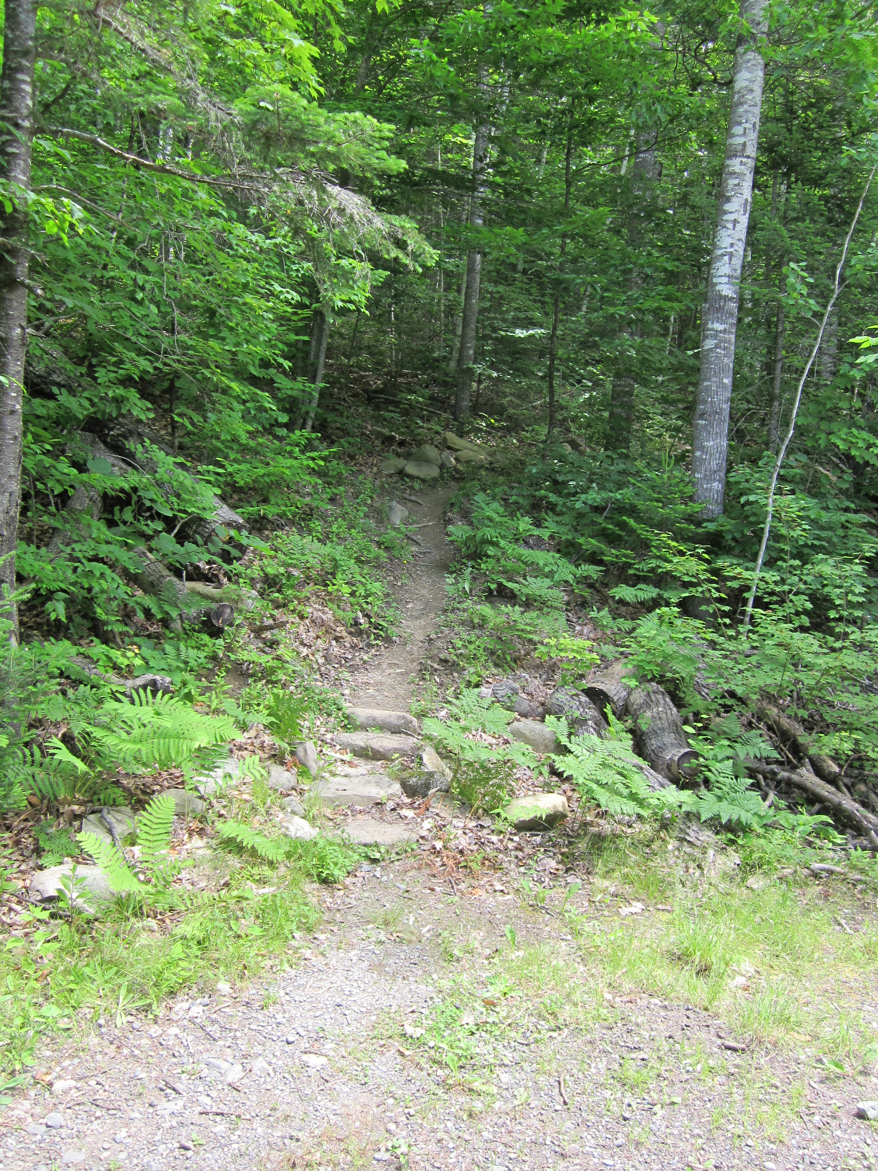
Steps

IMG_2045.JPG Original
1/60s f2.8 ISO320
Full size rotated image
Rotation angle: 90
Monday, July 2, 2012 2:11:12PM EDT
Tags: T
Appalachian Trail.
Picture with out of focus bug in center

IMG_2044.JPG Original
1/60s f2.8 ISO400
Full size rotated image
Rotation angle: 90
Monday, July 2, 2012 2:11:06PM EDT
Tags: TR
River, brook, or creek.
Appalachian Trail.

IMG_2043.JPG Original
1/50s f2.8 ISO400
Full size rotated image
Rotation angle: 90
Monday, July 2, 2012 2:10:28PM EDT
Tags: T
Appalachian Trail.
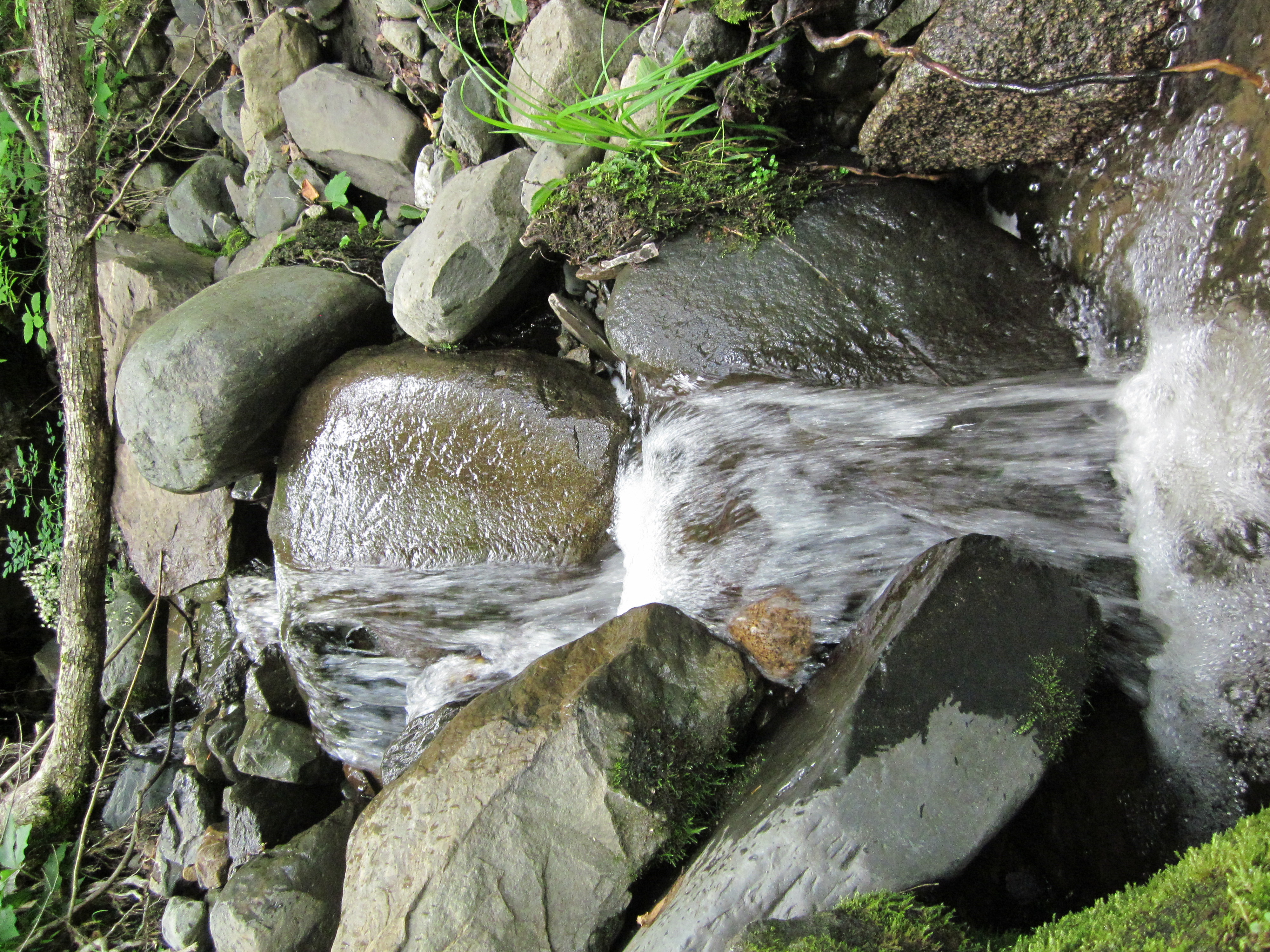
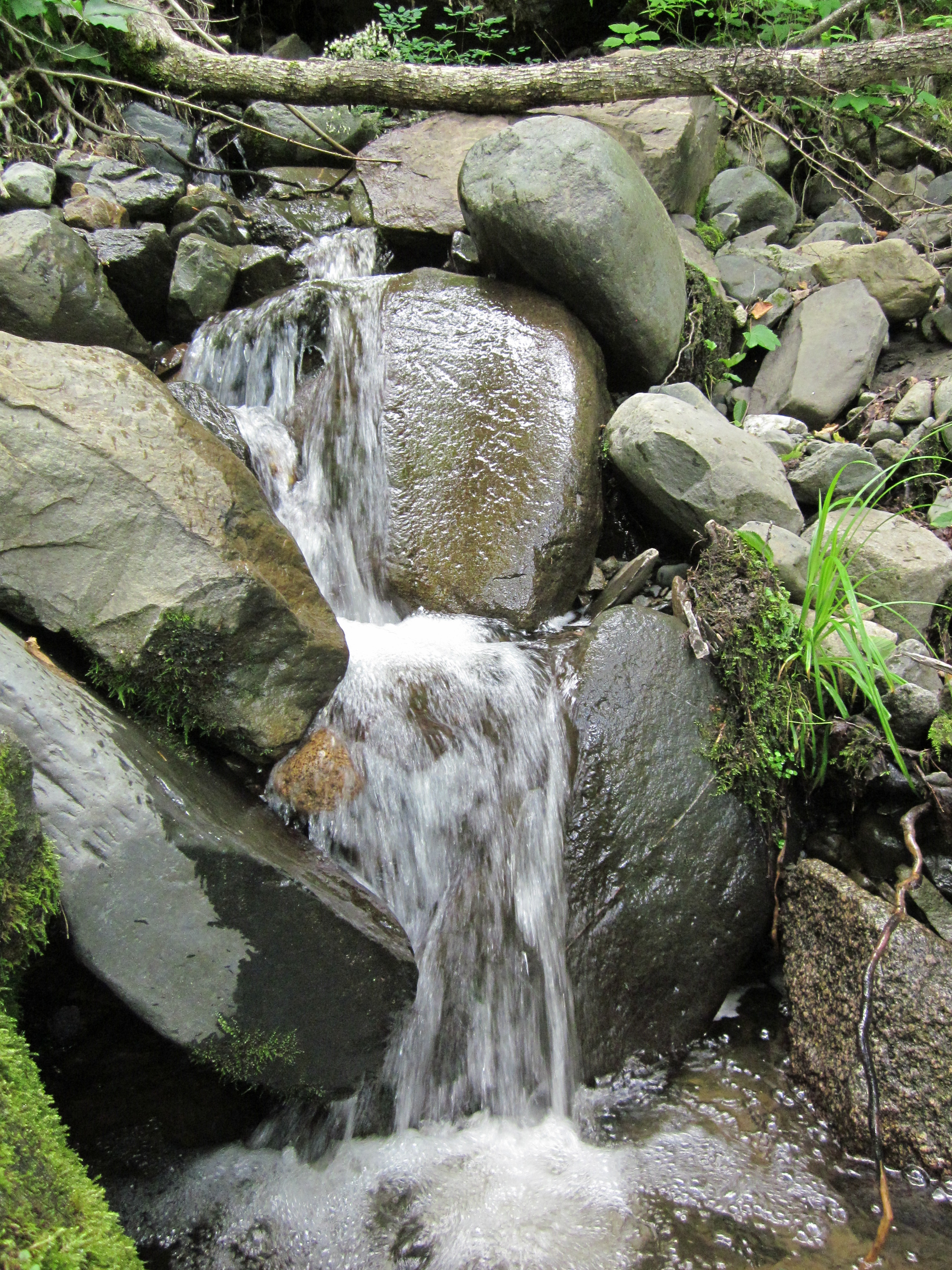
Small water fall

IMG_2042.JPG Original
1/60s f2.8 ISO320
Full size rotated image
Rotation angle: 90
Monday, July 2, 2012 2:10:15PM EDT
Tags: C
Creek on Appalachian Trail.

IMG_2041.JPG Original
1/60s f2.8 ISO160
Full size rotated image
Rotation angle: 90
Monday, July 2, 2012 2:04:29PM EDT
Tags: T
Appalachian Trail.
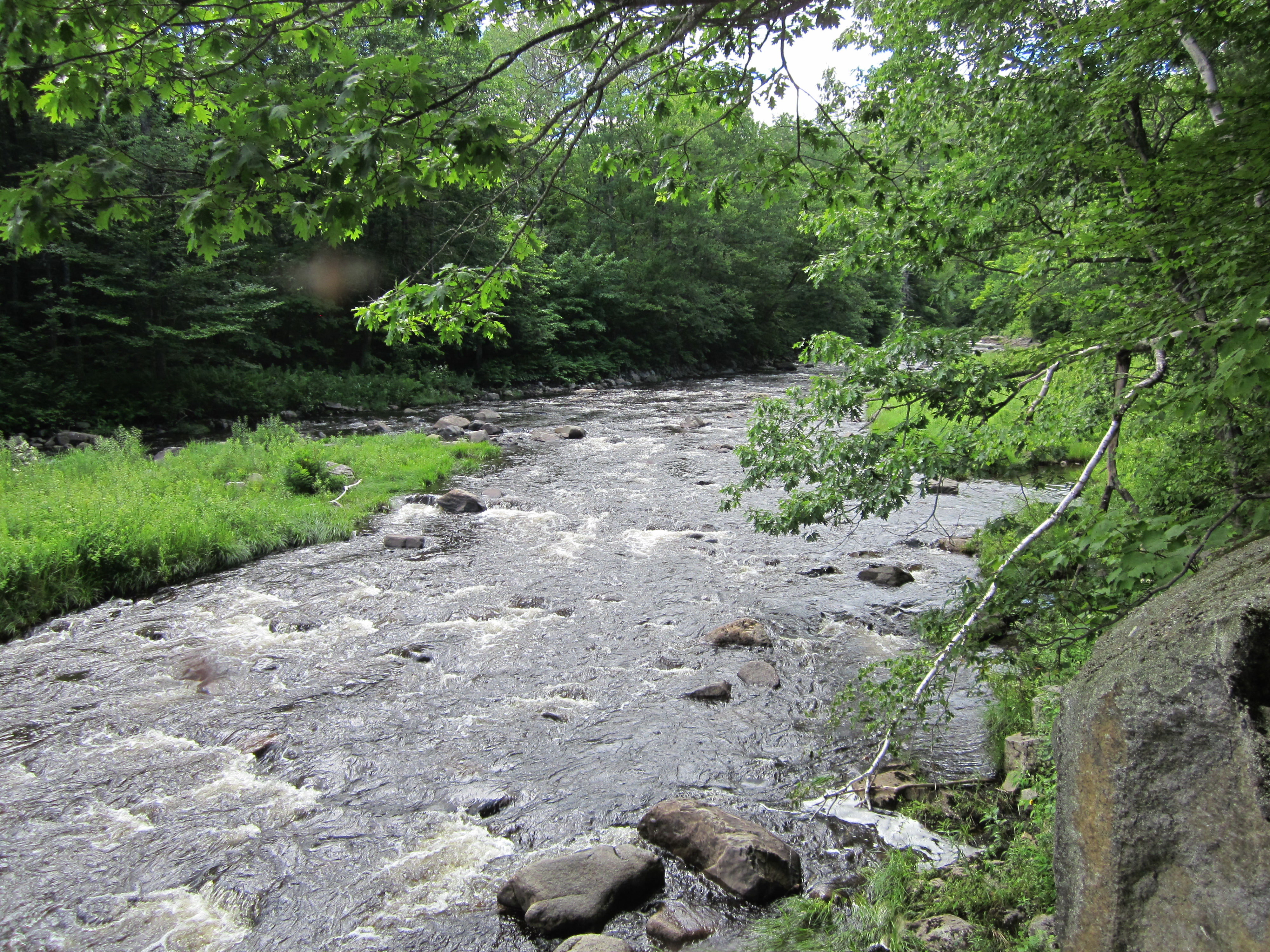
West Branch Piscataquis River

IMG_2040.JPG Original
1/250s f2.8 ISO80
Full size rotated image
Rotation angle: 90
Monday, July 2, 2012 2:04:18PM EDT
Tags: RV
River, brook, or creek.
View from Appalachian Trail
West Branch Piscataquis River

IMG_2039.JPG Original
1/250s f2.8 ISO80
Monday, July 2, 2012 2:04:02PM EDT
Tags: RV
River, brook, or creek.
View from Appalachian Trail
West Branch Piscataquis River

IMG_2038.JPG Original
1/400s f2.8 ISO125
Monday, July 2, 2012 1:59:12PM EDT
Tags: RV
River, brook, or creek.
View from Appalachian Trail
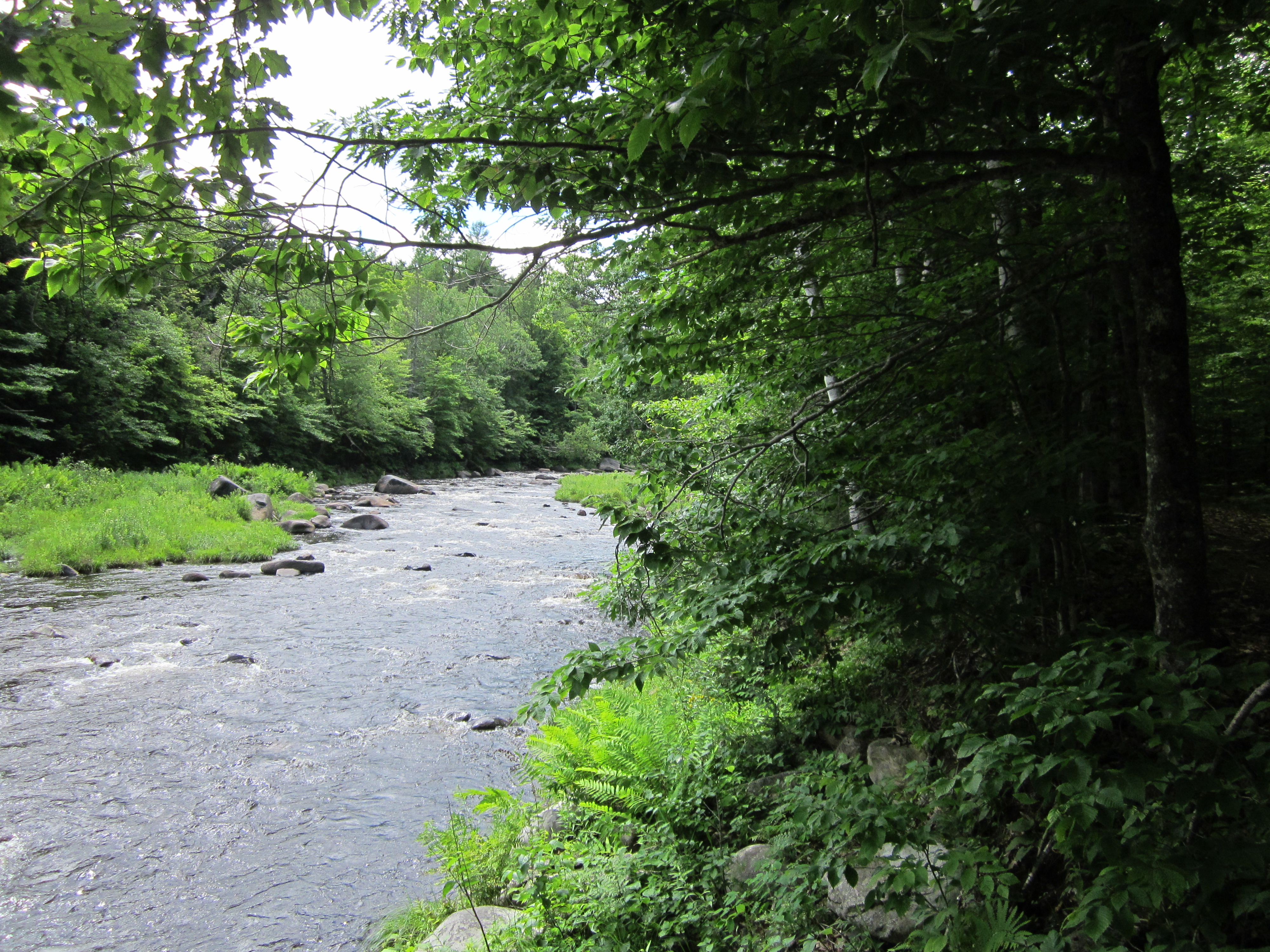
West Branch Piscataquis River

IMG_2037.JPG Original
1/125s f2.8 ISO80
Monday, July 2, 2012 1:58:49PM EDT
Tags: RTV
River, brook, or creek.
Appalachian Trail.
View from Appalachian Trail

IMG_2036.JPG Original
1/60s f2.8 ISO160
Full size rotated image
Rotation angle: 90
Monday, July 2, 2012 1:51:09PM EDT
Tags: T
Appalachian Trail.

IMG_2035.JPG Original
1/60s f2.8 ISO200
Full size rotated image
Rotation angle: 90
Monday, July 2, 2012 1:50:58PM EDT
Tags: T
Appalachian Trail.

IMG_2034.JPG Original
1/60s f2.8 ISO250
Full size rotated image
Rotation angle: 90
Monday, July 2, 2012 1:50:53PM EDT
Tags: C
Creek on Appalachian Trail.

IMG_2033.JPG Original
1/60s f2.8 ISO400
Full size rotated image
Rotation angle: 90
Monday, July 2, 2012 1:50:42PM EDT
Tags: C
Creek on Appalachian Trail.
West Branch Piscataquis River

IMG_2032.JPG Original
1/800s f2.8 ISO80
Monday, July 2, 2012 1:35:05PM EDT
Tags: C
Creek on Appalachian Trail.
West Branch Piscataquis River

IMG_2031.JPG Original
1/200s f8 ISO160
Full size rotated image
Rotation angle: 90
Monday, July 2, 2012 1:34:59PM EDT
Tags: C
Creek on Appalachian Trail.
West Branch Piscataquis River

IMG_2030.JPG Original
1/200s f8 ISO160
Full size rotated image
Rotation angle: 90
Monday, July 2, 2012 1:34:44PM EDT
Tags: C
Creek on Appalachian Trail.
West Branch Piscataquis River

IMG_2029.JPG Original
1/200s f8 ISO160
Full size rotated image
Rotation angle: 90
Monday, July 2, 2012 1:34:42PM EDT
Tags: C
Creek on Appalachian Trail.
West Branch Piscataquis River

IMG_2028.JPG Original
1/200s f8 ISO160
Full size rotated image
Rotation angle: 90
Monday, July 2, 2012 1:34:33PM EDT
Tags: C
Creek on Appalachian Trail.

IMG_2027.JPG Original
1/60s f2.8 ISO125
Full size rotated image
Rotation angle: 90
Monday, July 2, 2012 1:20:30PM EDT
Tags: T
Appalachian Trail.
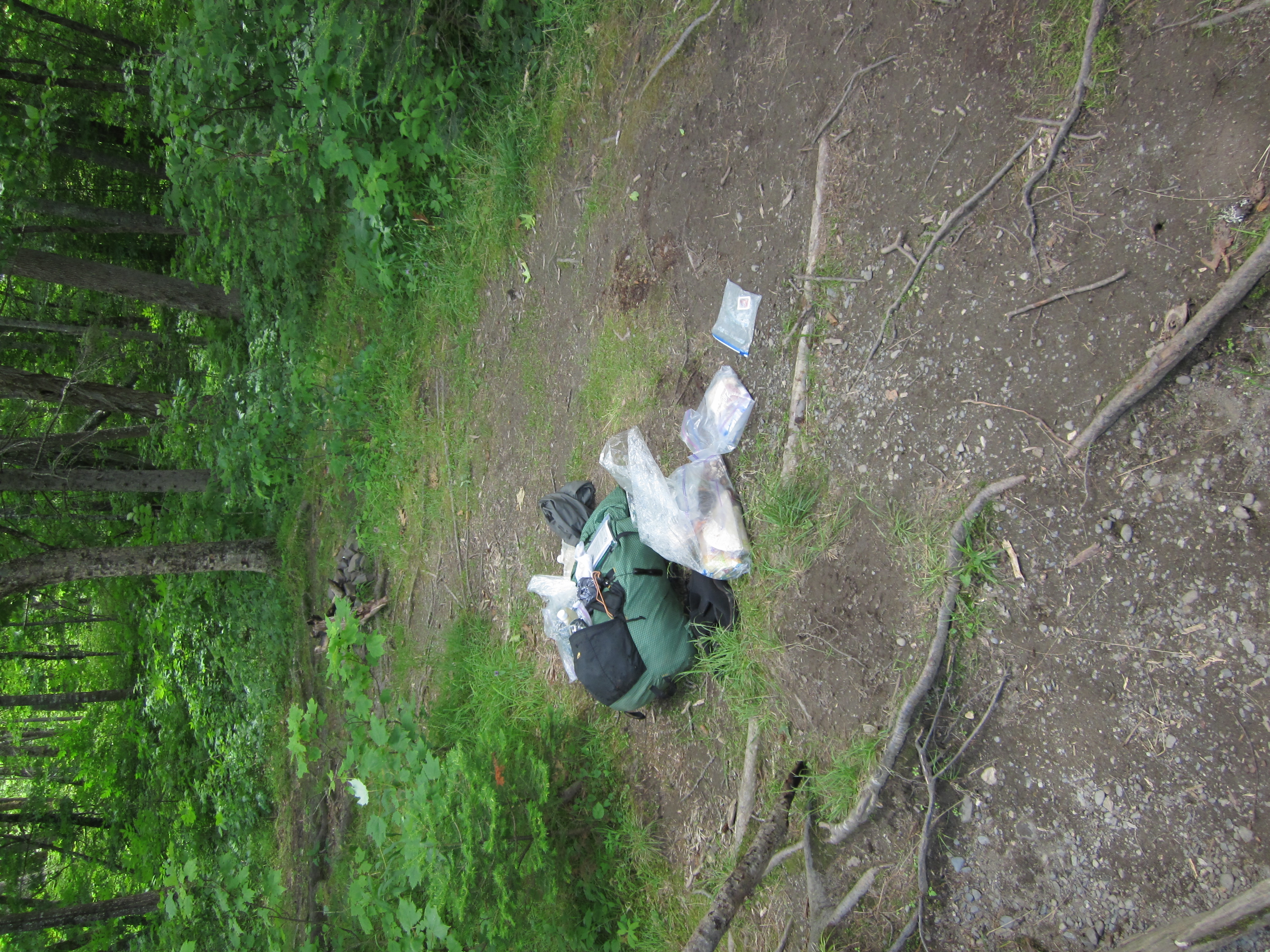
My pack

IMG_2026.JPG Original
1/60s f2.8 ISO80
Full size rotated image
Rotation angle: 90
Monday, July 2, 2012 1:20:23PM EDT
Tags: T
Appalachian Trail.
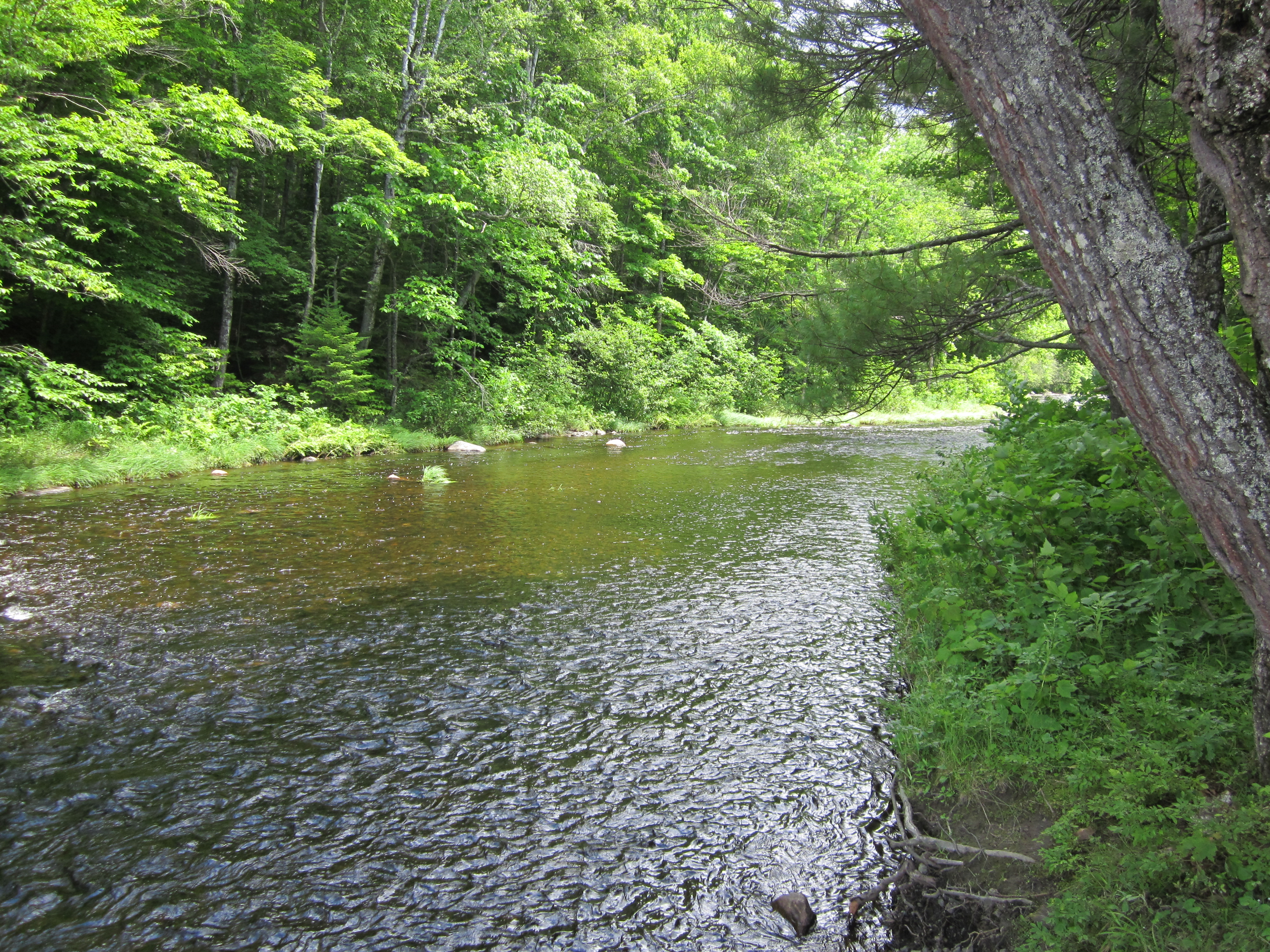
East Branch Piscataquis River

IMG_2025.JPG Original
1/125s f2.8 ISO80
Monday, July 2, 2012 1:20:16PM EDT
Tags: RV
River, brook, or creek.
View from Appalachian Trail
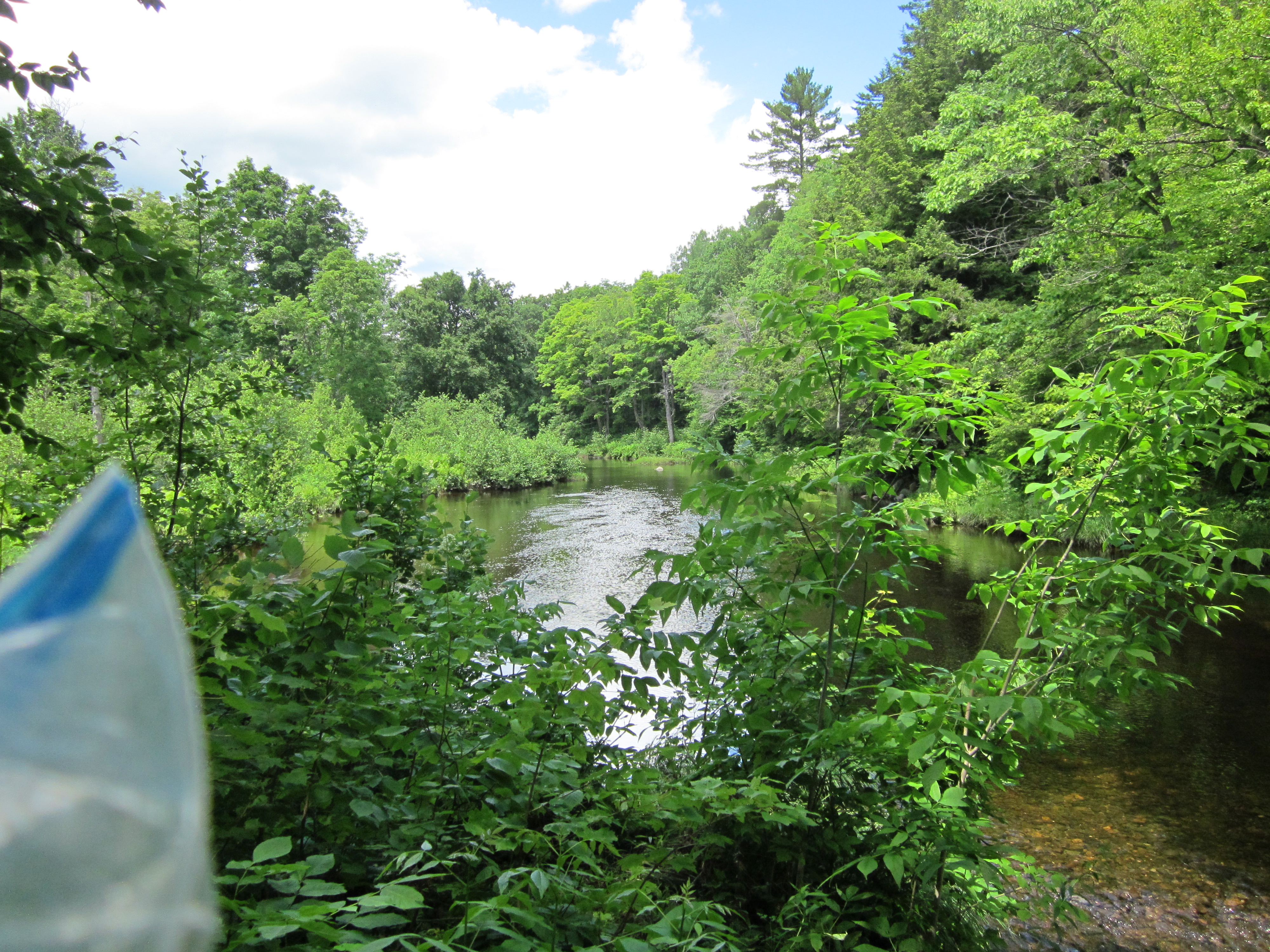
East Branch Piscataquis River

IMG_2024.JPG Original
1/500s f2.8 ISO160
Monday, July 2, 2012 1:20:06PM EDT
Tags: VR
River, brook, or creek.
View from Appalachian Trail
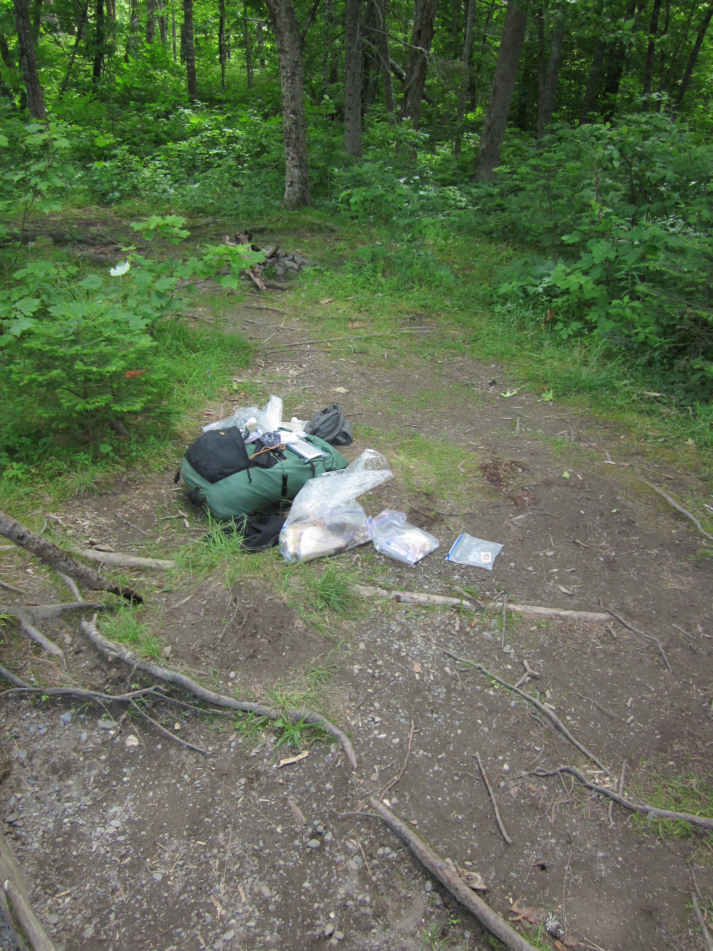
South side of ford at East Branch Piscataquis River. My pack in the forground.

IMG_2023.JPG Original
1/100s f2.8 ISO80
Full size rotated image
Rotation angle: 90
Monday, July 2, 2012 1:20:01PM EDT
Tags: FZR
Ford crossing on the Appalachian Trail.
River, brook, or creek.
Appalachian Trail with white blaze.
Ford at East Branch Piscataquis River

IMG_2022.JPG Original
1/80s f2.8 ISO80
Monday, July 2, 2012 1:19:51PM EDT
Tags: FRT
Ford crossing on the Appalachian Trail.
River, brook, or creek.
Appalachian Trail.
Ford at East Branch Piscataquis River

IMG_2021.JPG Original
1/125s f2.8 ISO100
Monday, July 2, 2012 12:52:00PM EDT
Tags: FRT
Ford crossing on the Appalachian Trail.
River, brook, or creek.
Appalachian Trail.
Ford at East Branch Piscataquis River

IMG_2020.JPG Original
1/800s f2.8 ISO160
Monday, July 2, 2012 12:51:55PM EDT
Tags: FRT
Ford crossing on the Appalachian Trail.
River, brook, or creek.
Appalachian Trail.
Ford at East Branch Piscataquis River

IMG_2019.JPG Original
1/500s f2.8 ISO160
Monday, July 2, 2012 12:51:35PM EDT
Tags: FTR
Ford crossing on the Appalachian Trail.
River, brook, or creek.
Appalachian Trail.

IMG_2016.JPG Original
1/160s f2.8 ISO80
Full size rotated image
Rotation angle: 90
Monday, July 2, 2012 12:40:59PM EDT
Tags: O
Dirt, gravel, or logging road crossing the Appalachian Trail.

IMG_2015.JPG Original
1/100s f2.8 ISO100
Full size rotated image
Rotation angle: 90
Monday, July 2, 2012 12:40:55PM EDT
Tags: T
Appalachian Trail.
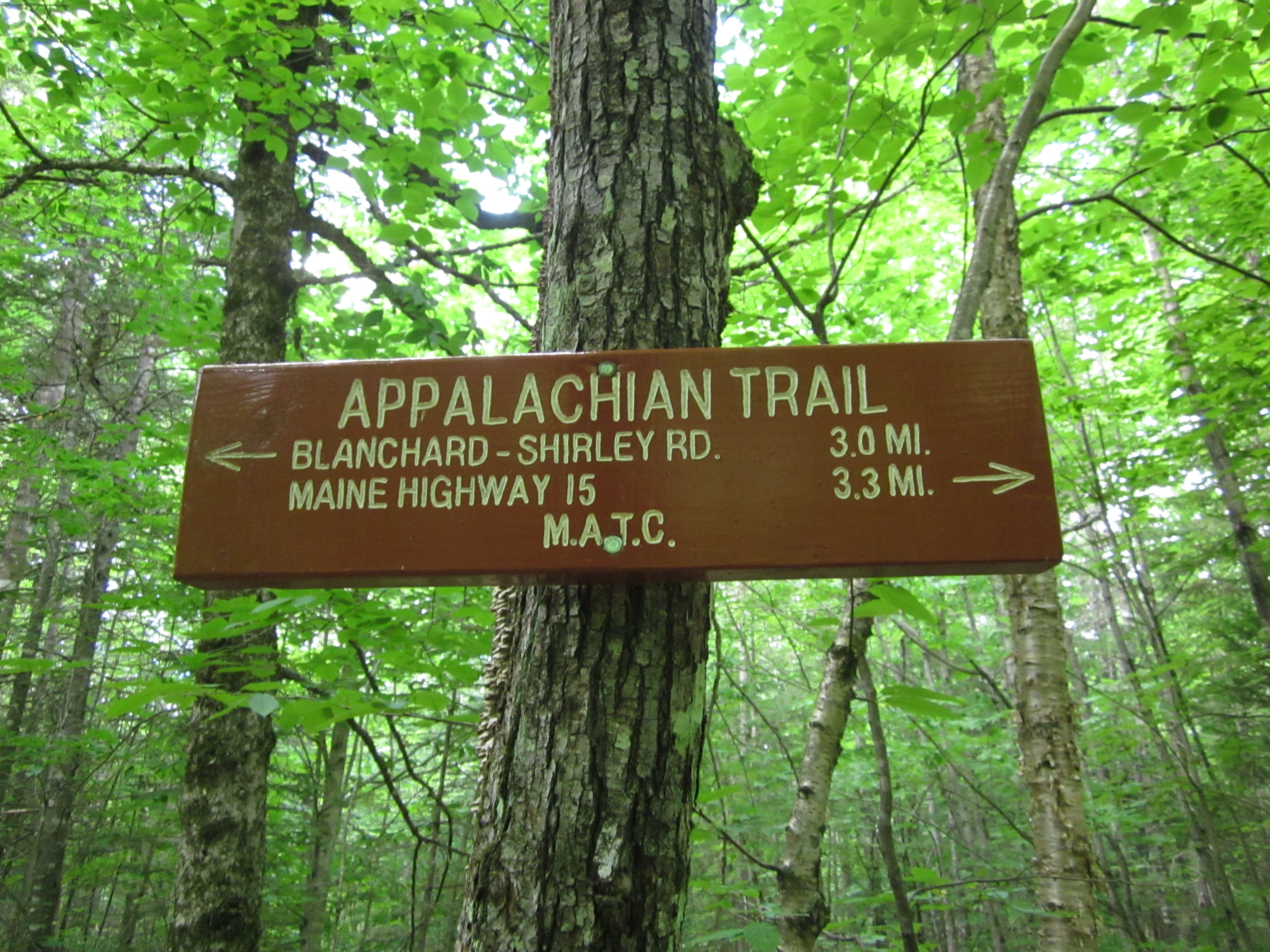
Sign South of Shirley-Blanchard Road

IMG_2014.JPG Original
1/60s f2.8 ISO80
Monday, July 2, 2012 12:38:03PM EDT
Tags: S
Appalachian Trail sign.
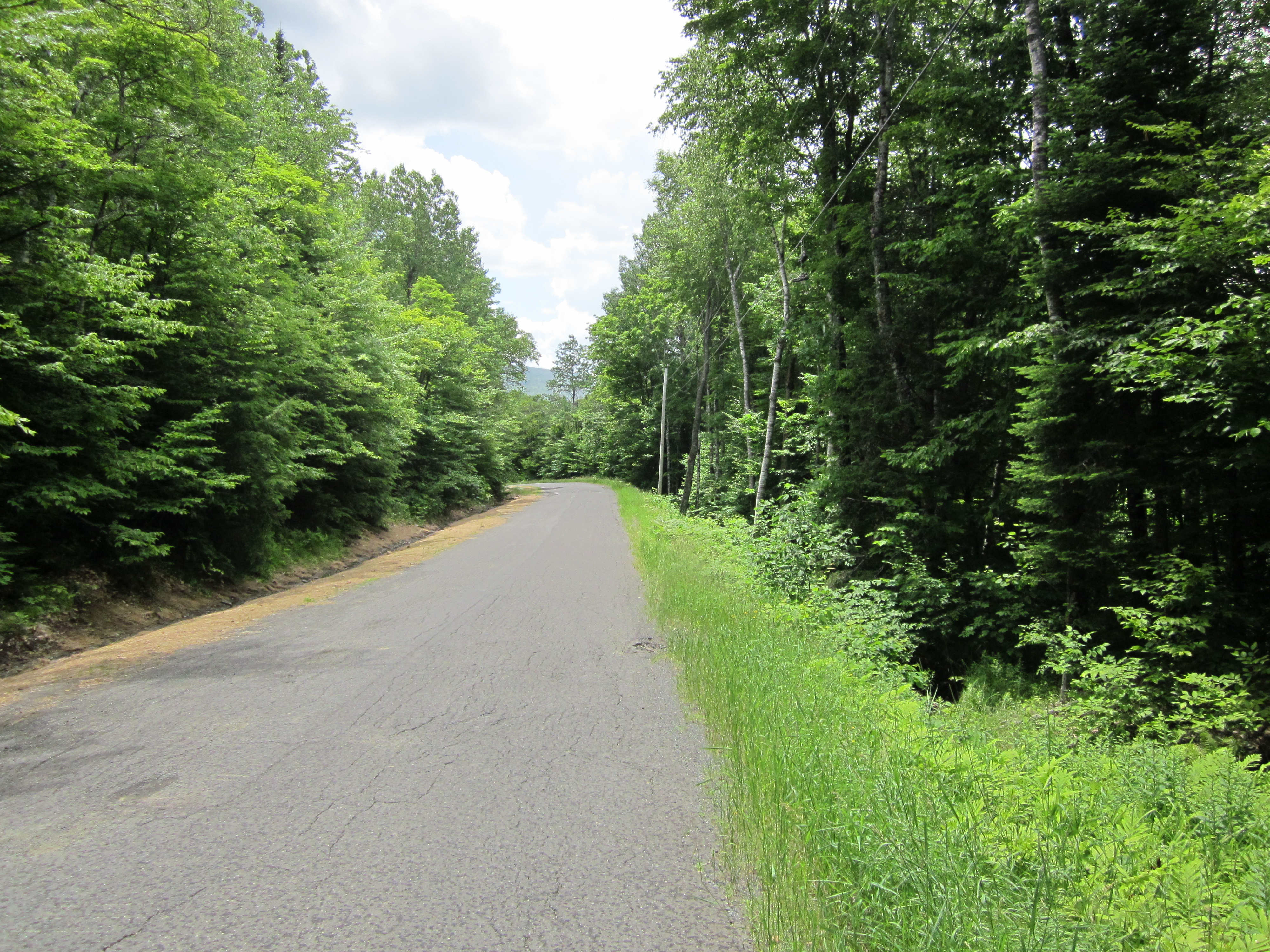
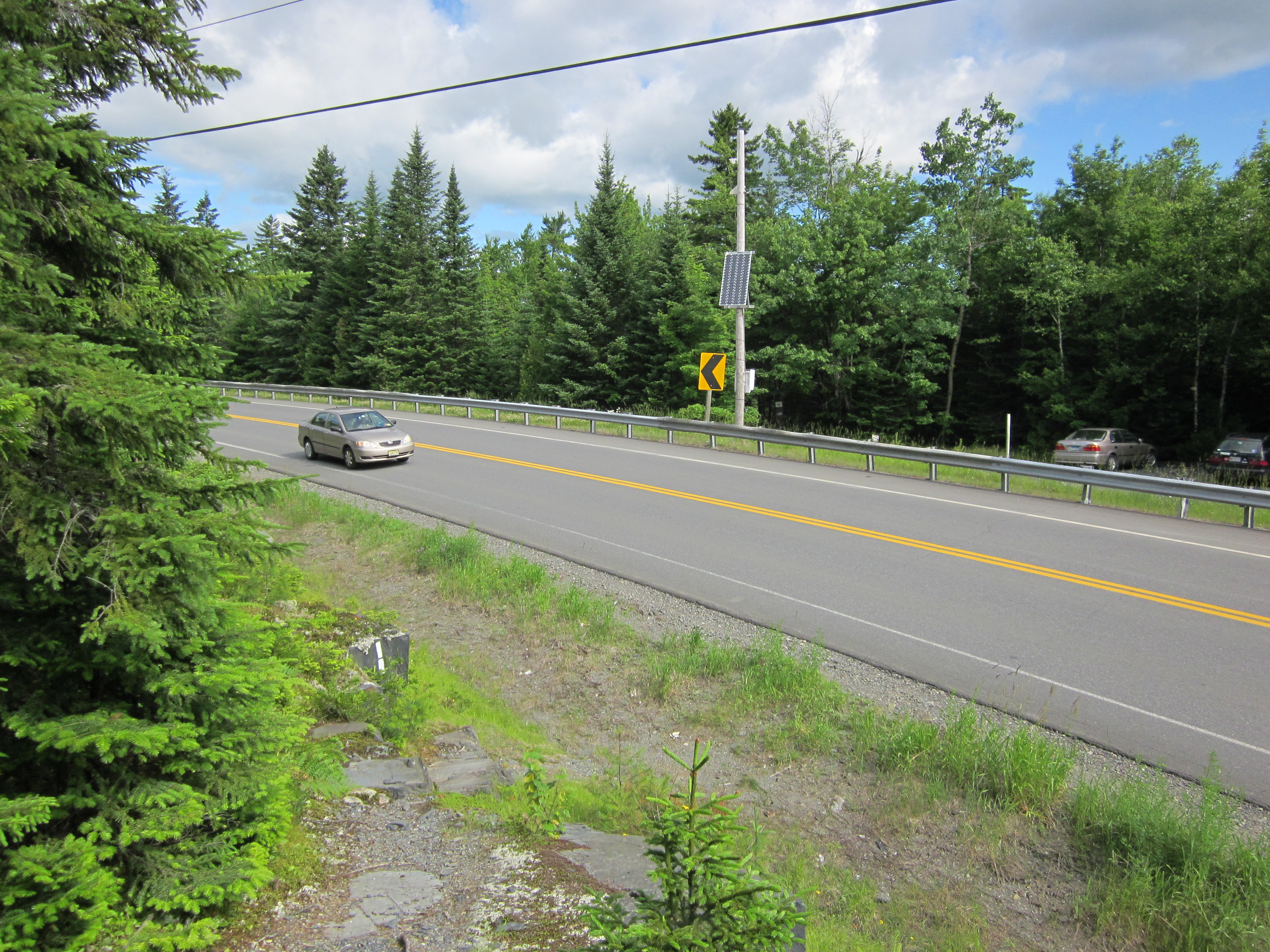
Shirley-Blanchard Road

IMG_2013.JPG Original
1/1000s f2.8 ISO160
Monday, July 2, 2012 12:37:13PM EDT
Tags: H
Highway or paved road crossing the Appalachian Trail.
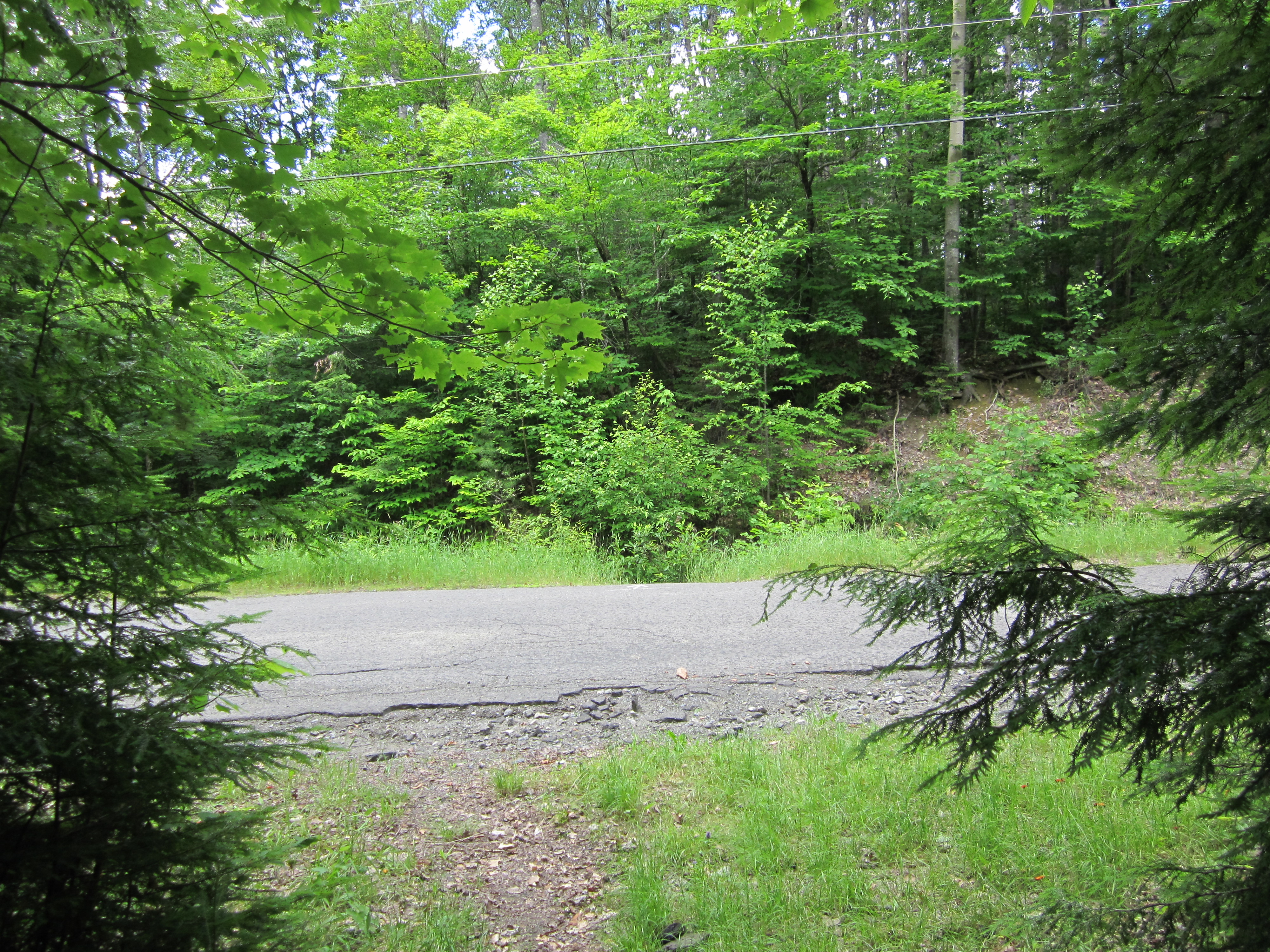
Shirley-Blanchard Road

IMG_2012.JPG Original
1/100s f2.8 ISO80
Monday, July 2, 2012 12:36:53PM EDT
Tags: TH
Highway or paved road crossing the Appalachian Trail.
Appalachian Trail.
Shirley-Blanchard Road 6.3 miles from ME15

IMG_2011.JPG Original
1/60s f2.8 ISO250
Monday, July 2, 2012 12:36:31PM EDT
Tags: S
Appalachian Trail sign.

IMG_2010.JPG Original
1/60s f2.8 ISO200
Full size rotated image
Rotation angle: 90
Monday, July 2, 2012 12:32:52PM EDT
Tags: T
Appalachian Trail.

IMG_2009.JPG Original
1/60s f2.8 ISO400
Monday, July 2, 2012 12:32:45PM EDT
Tags: T
Appalachian Trail.
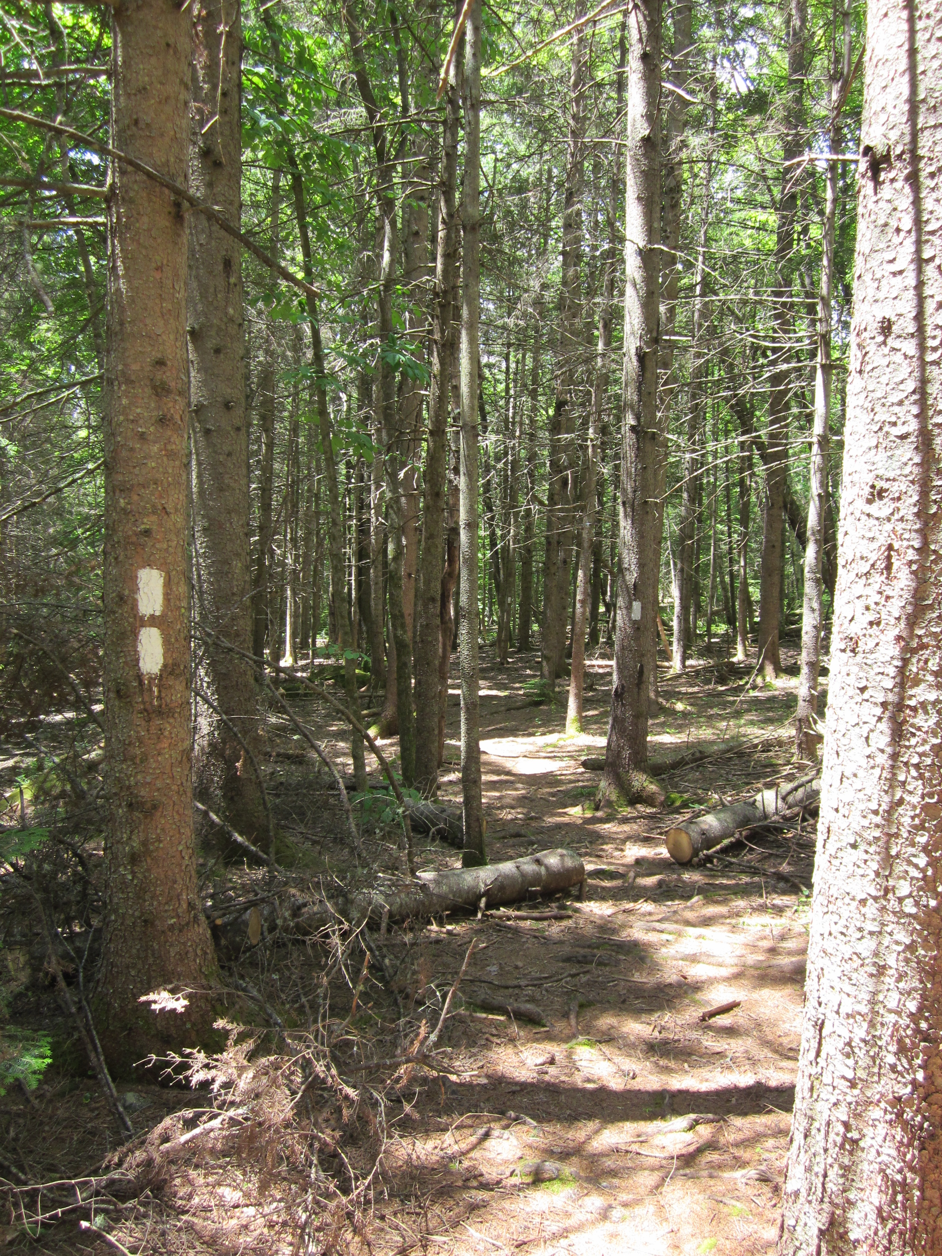
Double blaze

IMG_2008.JPG Original
1/80s f2.8 ISO125
Full size rotated image
Rotation angle: 90
Monday, July 2, 2012 12:16:30PM EDT
Tags: Z
Appalachian Trail with white blaze.
AT North/South sign

IMG_2007.JPG Original
1/160s f2.8 ISO80
Monday, July 2, 2012 12:16:11PM EDT
Tags: S
Appalachian Trail sign.

IMG_2006.JPG Original
1/60s f2.8 ISO160
Monday, July 2, 2012 12:14:41PM EDT
Tags: V
View from Appalachian Trail

IMG_2005.JPG Original
1/60s f2.8 ISO160
Full size rotated image
Rotation angle: 90
Monday, July 2, 2012 12:14:36PM EDT
Tags: T
Appalachian Trail.

IMG_2004.JPG Original
1/60s f2.8 ISO80
Full size rotated image
Rotation angle: 90
Monday, July 2, 2012 12:14:31PM EDT
Tags: T
Appalachian Trail.
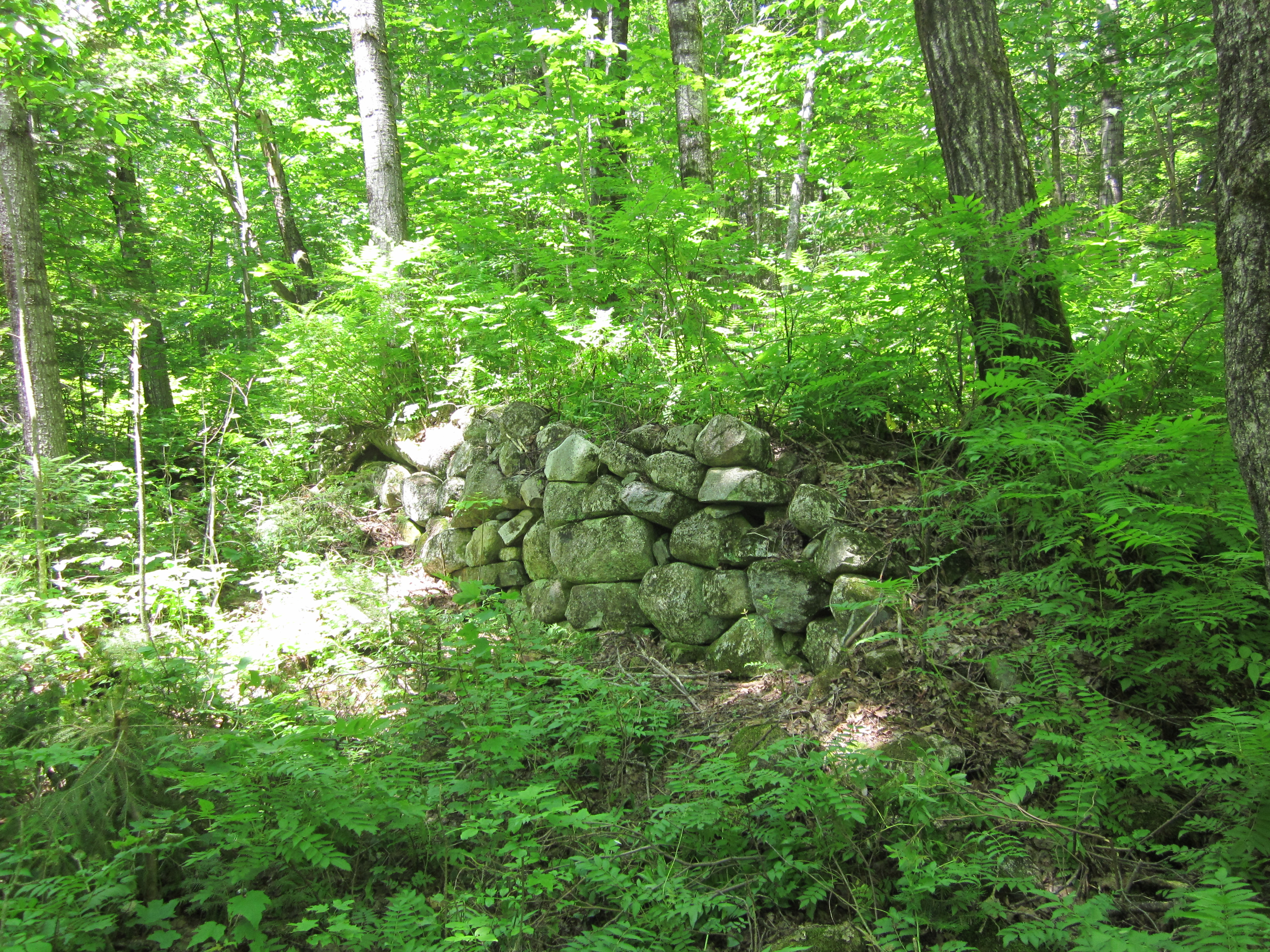
Ols stone wall

IMG_2003.JPG Original
1/60s f2.8 ISO100
Monday, July 2, 2012 12:12:48PM EDT
Tags: V
View from Appalachian Trail

IMG_2002.JPG Original
1/30s f2.8 ISO400
Full size rotated image
Rotation angle: 90
Monday, July 2, 2012 12:02:40PM EDT
Tags: Z
Appalachian Trail with white blaze.

IMG_2001.JPG Original
1/30s f2.8 ISO400
Full size rotated image
Rotation angle: 90
Monday, July 2, 2012 11:59:50AM EDT
Tags: O
Dirt, gravel, or logging road crossing the Appalachian Trail.
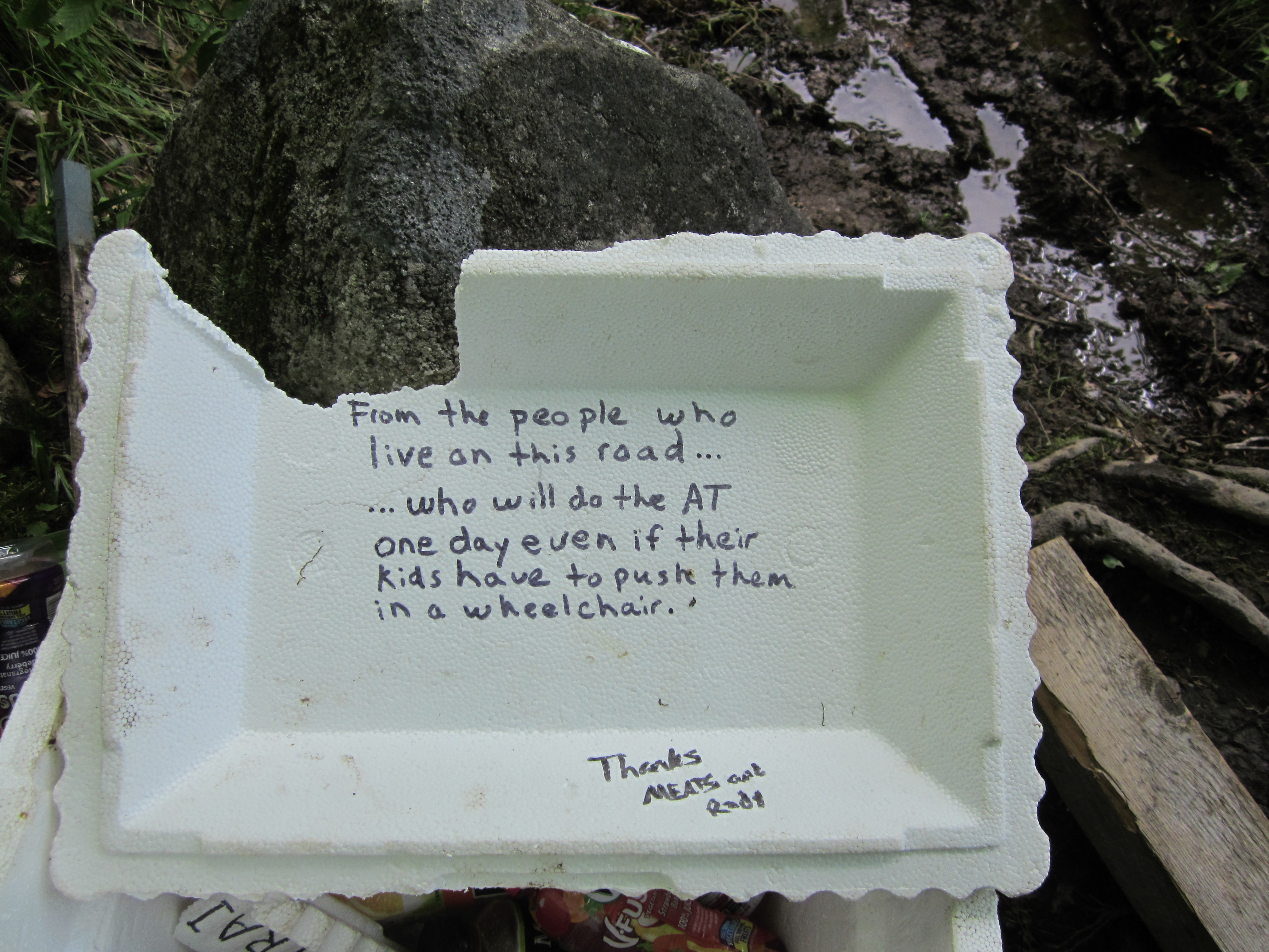
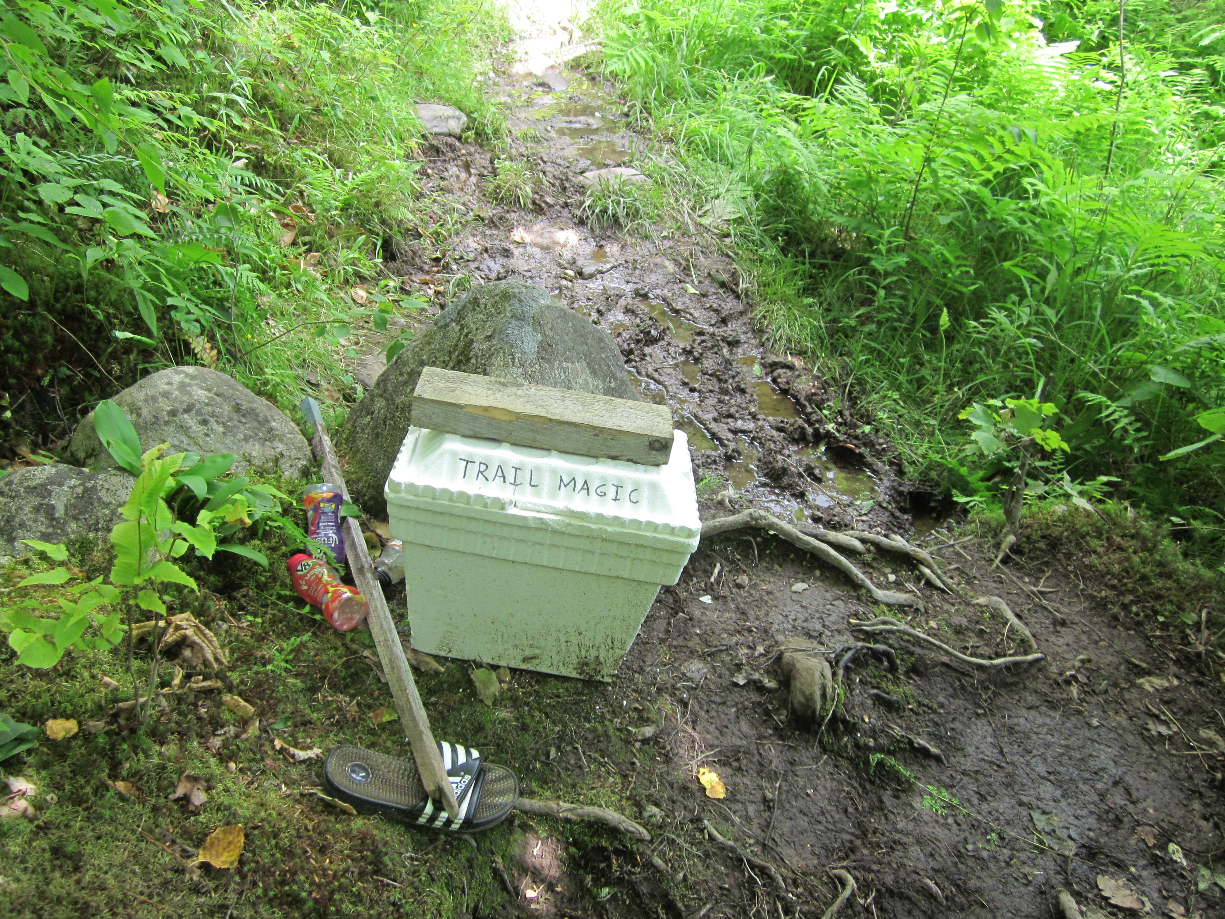
Trail Magic cooler note in lid

IMG_2000.JPG Original
1/125s f2.8 ISO80
Monday, July 2, 2012 11:59:25AM EDT
Tags:
Trail Magic cooler - Thanks for the Orange Juice!

IMG_1999.JPG Original
1/60s f2.8 ISO125
Monday, July 2, 2012 11:59:11AM EDT
Tags:
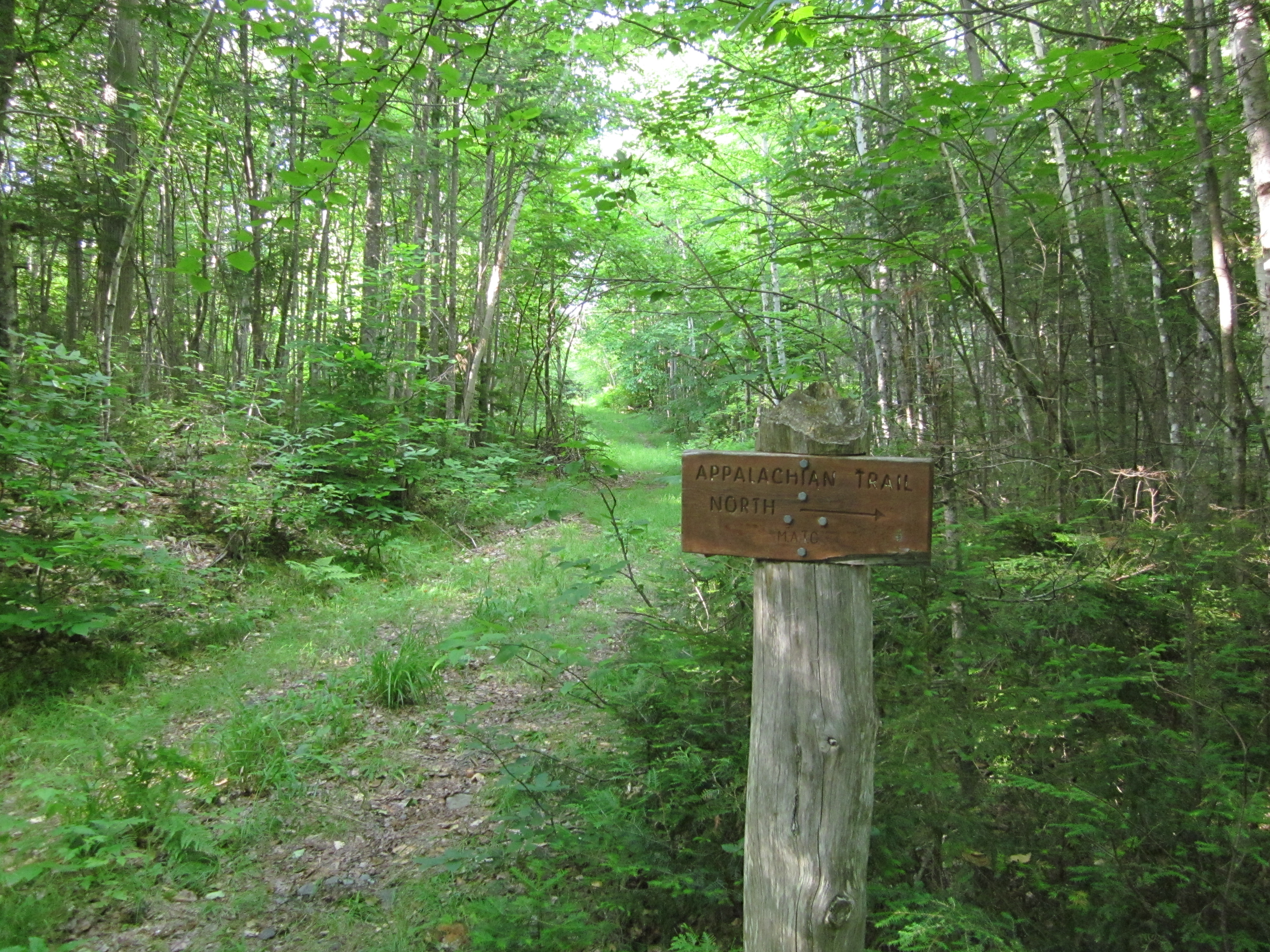
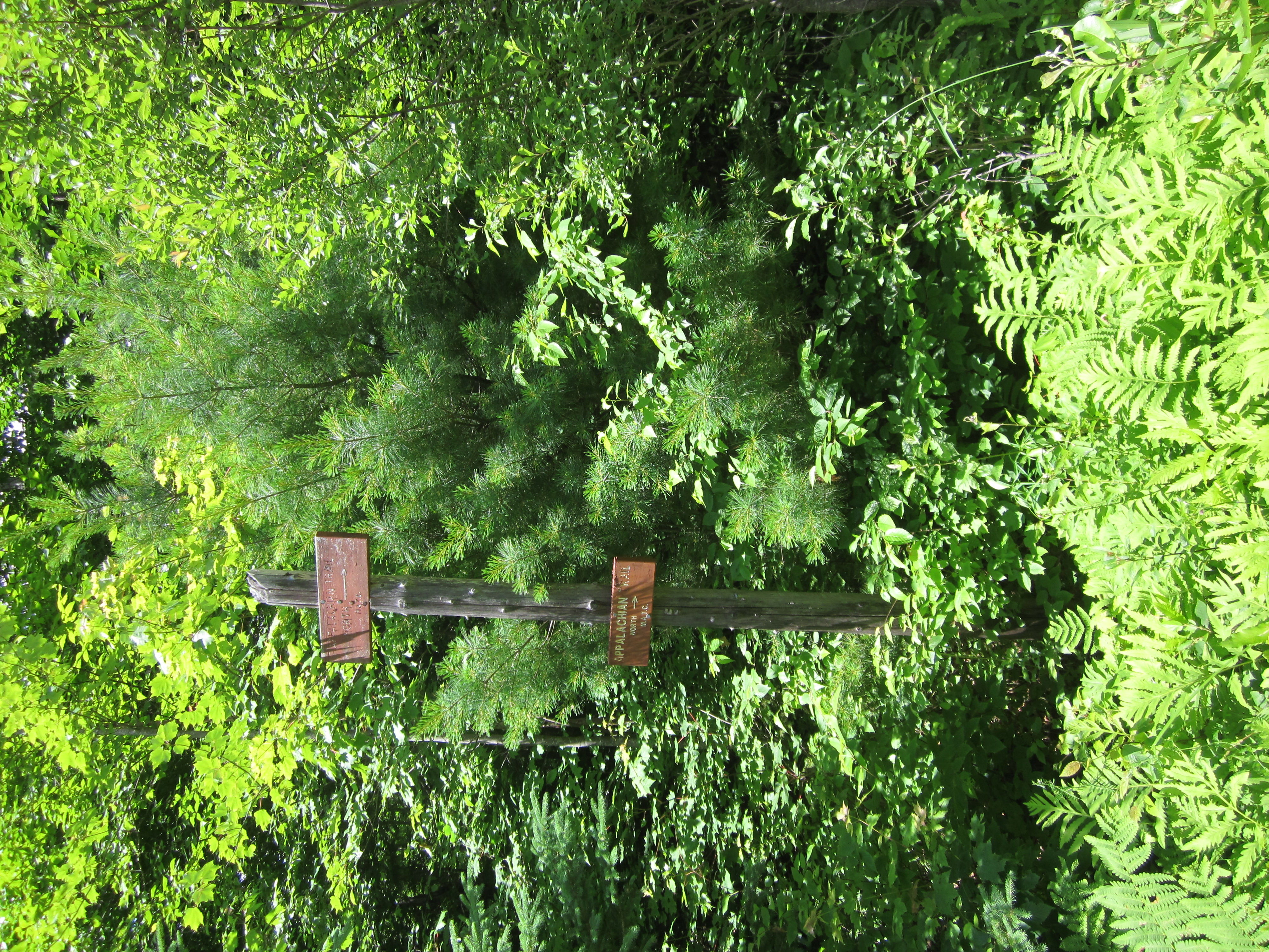
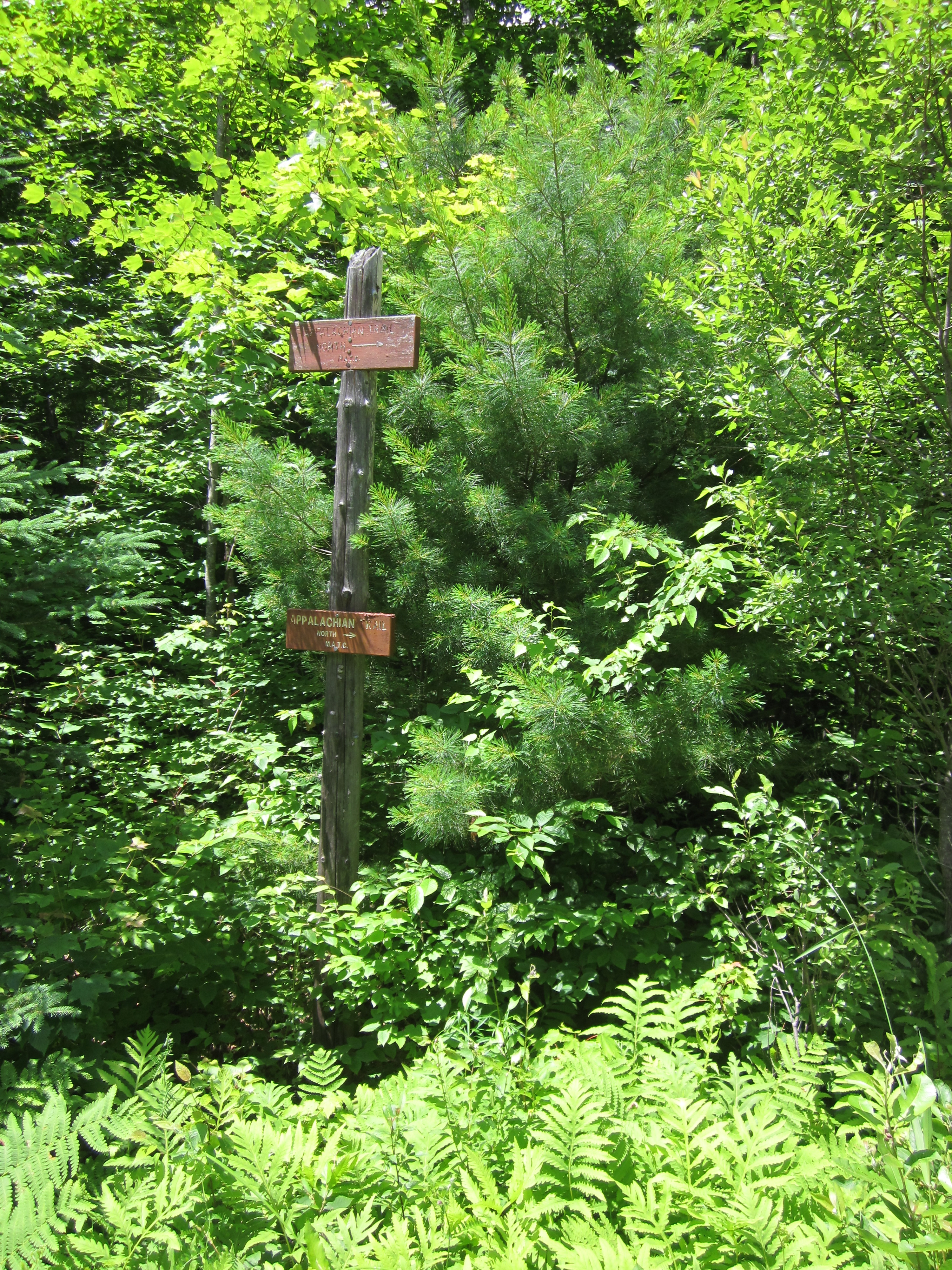
Two Appalachin Trail North signs on same post

IMG_1998.JPG Original
1/400s f2.8 ISO80
Full size rotated image
Rotation angle: 90
Monday, July 2, 2012 11:55:32AM EDT
Tags: S
Appalachian Trail sign.

IMG_1997.JPG Original
1/200s f8 ISO125
Monday, July 2, 2012 11:55:17AM EDT
Tags: TO
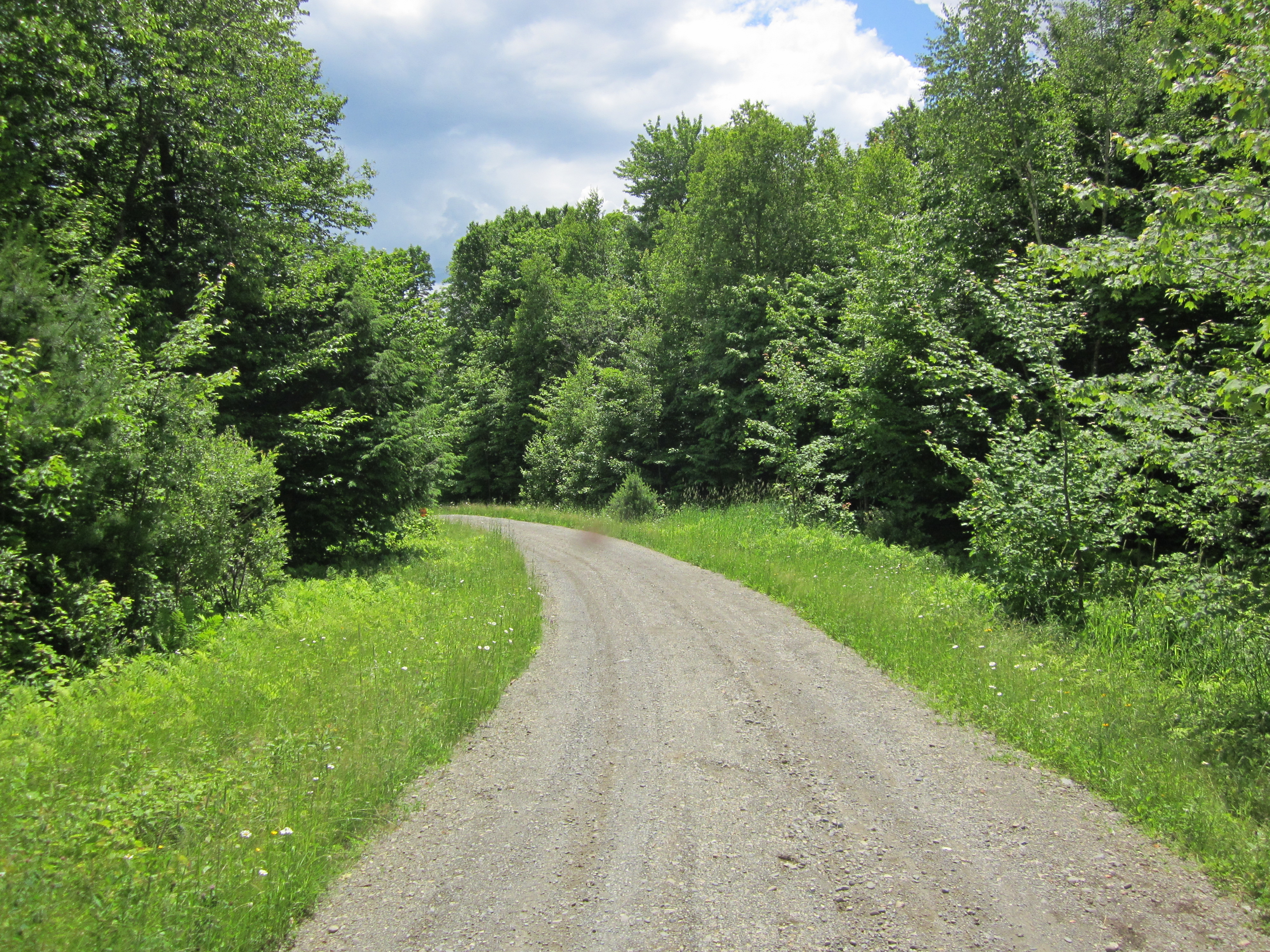
Dirt, gravel, or logging road crossing the Appalachian Trail.
Appalachian Trail.

IMG_1996.JPG Original
1/125s f2.8 ISO100
Monday, July 2, 2012 11:54:54AM EDT
Tags: TO
Dirt, gravel, or logging road crossing the Appalachian Trail.
Appalachian Trail.

IMG_1995.JPG Original
1/60s f2.8 ISO125
Full size rotated image
Rotation angle: 90
Monday, July 2, 2012 11:54:43AM EDT
Tags: T
Appalachian Trail.

IMG_1994.JPG Original
1/50s f2.8 ISO400
Monday, July 2, 2012 11:38:05AM EDT
Tags: T
Appalachian Trail.
Lake Hebron

IMG_1993.JPG Original
1/160s f8 ISO80
Monday, July 2, 2012 11:37:52AM EDT
Tags: VL
Lake seen from Appalachian Trail.
View from Appalachian Trail
Lake Hebron

IMG_1992.JPG Original
1/160s f5.9 ISO160
Monday, July 2, 2012 11:36:11AM EDT
Tags: L
Lake seen from Appalachian Trail.
Lake Hebron

IMG_1991.JPG Original
1/250s f8 ISO160
Monday, July 2, 2012 11:35:57AM EDT
Tags: L
Lake seen from Appalachian Trail.

IMG_1990.JPG Original
1/60s f2.8 ISO125
Full size rotated image
Rotation angle: 90
Monday, July 2, 2012 11:34:54AM EDT
Tags: T
Appalachian Trail.

IMG_1989.JPG Original
1/60s f2.8 ISO400
Monday, July 2, 2012 11:34:46AM EDT
Tags: ZC
Creek on Appalachian Trail.
Appalachian Trail with white blaze.

IMG_1988.JPG Original
1/60s f2.8 ISO200
Full size rotated image
Rotation angle: 90
Monday, July 2, 2012 11:17:23AM EDT
Tags: C
Creek on Appalachian Trail.

IMG_1987.JPG Original
1/60s f2.8 ISO250
Monday, July 2, 2012 11:17:11AM EDT
Tags: C
Creek on Appalachian Trail.

IMG_1986.JPG Original
1/60s f2.8 ISO200
Monday, July 2, 2012 11:16:25AM EDT
Tags: C
Creek on Appalachian Trail.

IMG_1985.JPG Original
1/60s f2.8 ISO200
Monday, July 2, 2012 11:13:26AM EDT
Tags: C
Creek on Appalachian Trail.

IMG_1984.JPG Original
1/100s f2.8 ISO80
Full size rotated image
Rotation angle: 90
Monday, July 2, 2012 11:11:15AM EDT
Tags: T
Appalachian Trail.
Lake Hebron

IMG_1983.JPG Original
1/40s f2.8 ISO400
Monday, July 2, 2012 11:06:53AM EDT
Tags: LV
Lake seen from Appalachian Trail.
View from Appalachian Trail
Lake Hebron

IMG_1982.JPG Original
1/30s f2.8 ISO400
Monday, July 2, 2012 11:06:37AM EDT
Tags: ZL
Lake seen from Appalachian Trail.
Appalachian Trail with white blaze.
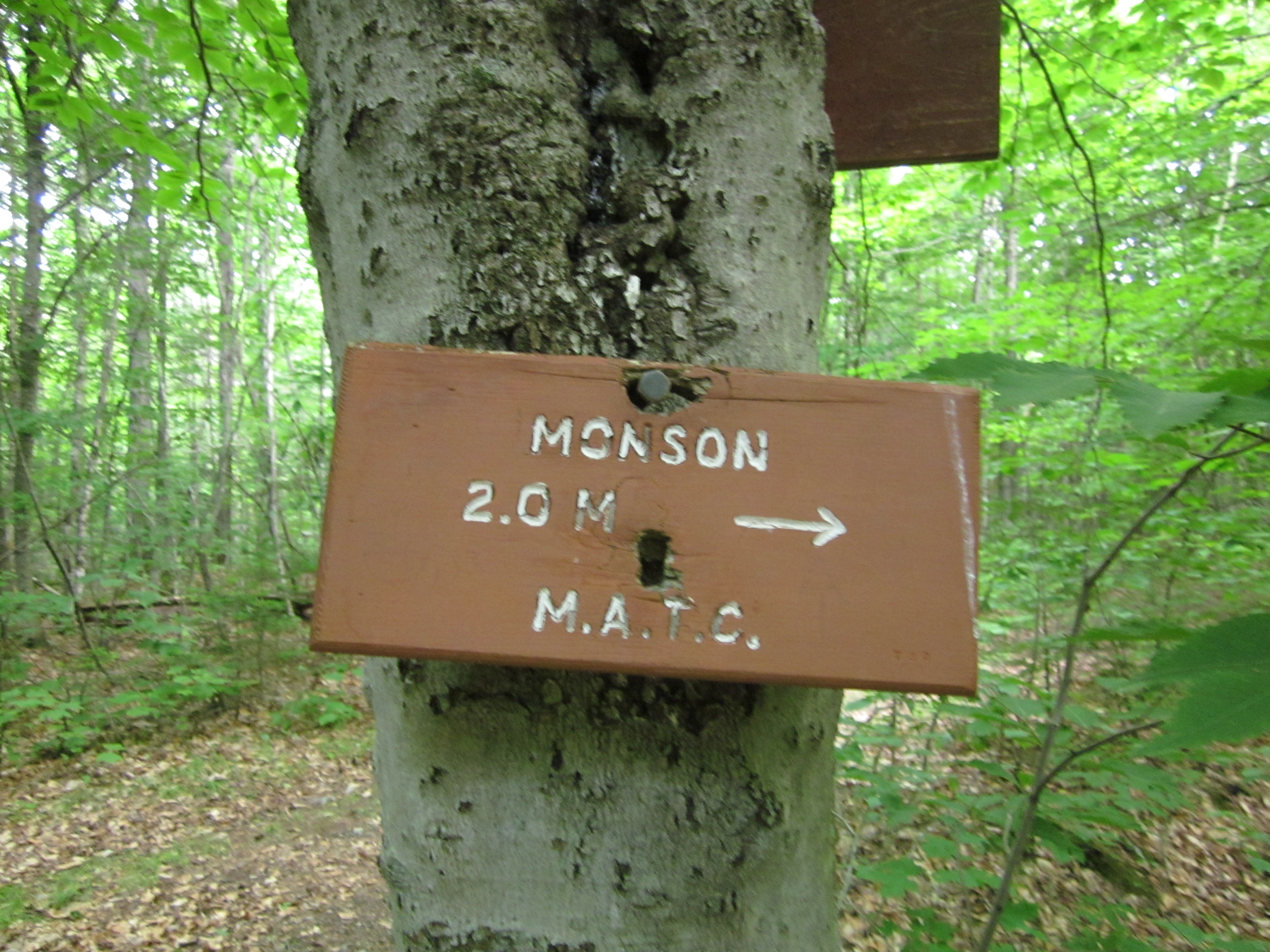
Sign at trail to Pleasent Street, Monson, Maine

IMG_1981.JPG Original
1/20s f2.8 ISO400
Monday, July 2, 2012 11:05:13AM EDT
Tags: S
Appalachian Trail sign.
Sign at trail to Pleasent Street, Monson, Maine

IMG_1980.JPG Original
1/25s f2.8 ISO400
Monday, July 2, 2012 11:05:04AM EDT
Tags: S
Appalachian Trail sign.
AT trail sign south

IMG_1979.JPG Original
1/20s f2.8 ISO500
Monday, July 2, 2012 11:04:52AM EDT
Tags: T
Appalachian Trail.

IMG_1978.JPG Original
1/30s f2.8 ISO400
Monday, July 2, 2012 11:04:34AM EDT
Tags: O
Dirt, gravel, or logging road crossing the Appalachian Trail.

IMG_1977.JPG Original
1/50s f2.8 ISO400
Full size rotated image
Rotation angle: 90
Monday, July 2, 2012 10:59:29AM EDT
Tags: T
Appalachian Trail.
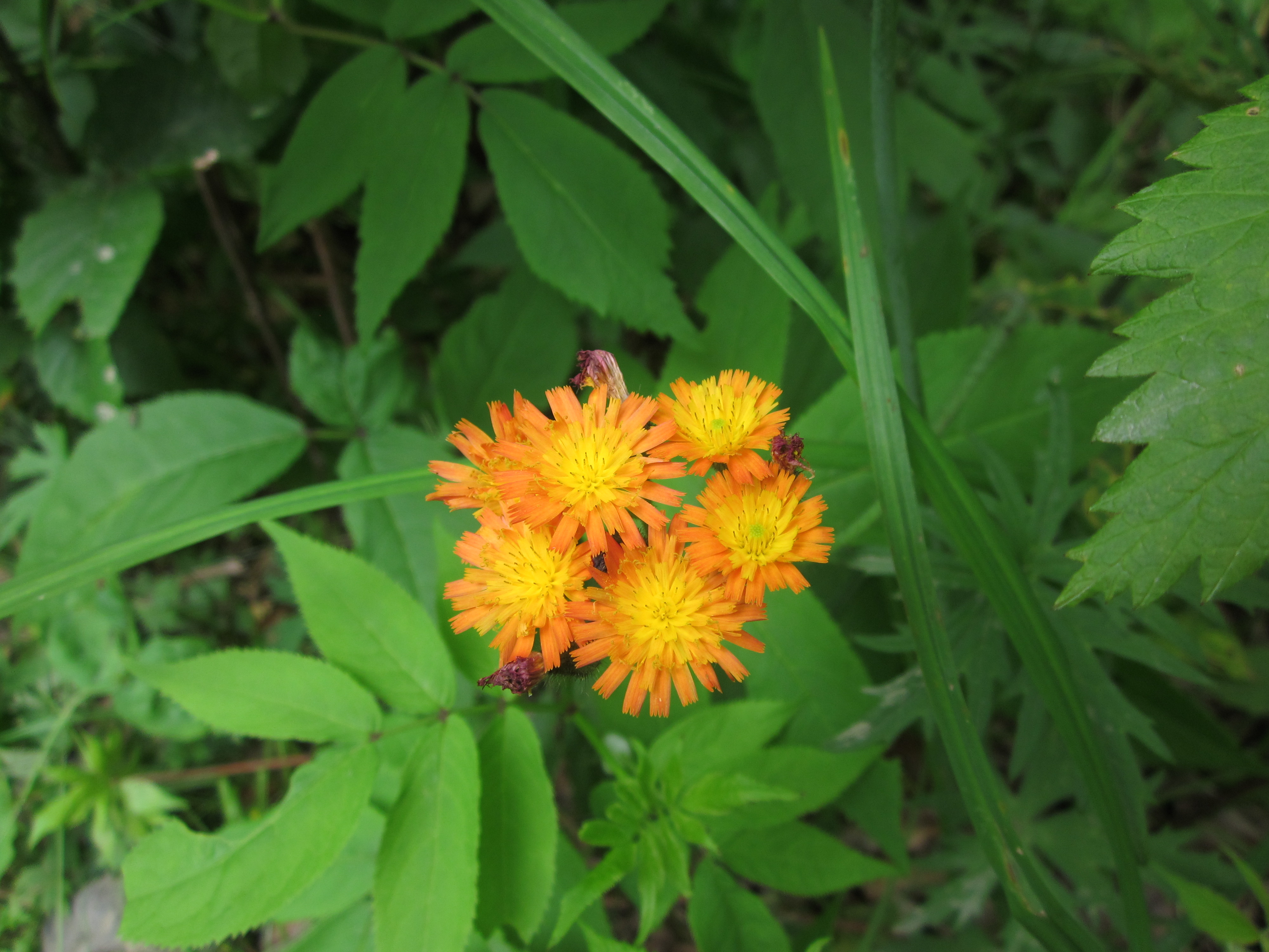
Flowers

IMG_1976.JPG Original
1/80s f2.8 ISO80
Monday, July 2, 2012 10:53:01AM EDT
Tags:

IMG_1975.JPG Original
1/60s f2.8 ISO100
Full size rotated image
Rotation angle: 90
Monday, July 2, 2012 10:52:42AM EDT
Tags: T
Appalachian Trail.

IMG_1974.JPG Original
1/60s f2.8 ISO100
Full size rotated image
Rotation angle: 90
Monday, July 2, 2012 10:52:36AM EDT
Tags: TB
Bridge on the Appalachian Trail.
Appalachian Trail.

IMG_1973.JPG Original
1/1000s f2.8 ISO160
Monday, July 2, 2012 10:52:23AM EDT
Tags: O
Dirt, gravel, or logging road crossing the Appalachian Trail.

IMG_1972.JPG Original
1/40s f2.8 ISO400
Full size rotated image
Rotation angle: 90
Monday, July 2, 2012 10:42:38AM EDT
Tags: T
Appalachian Trail.

IMG_1971.JPG Original
1/30s f2.8 ISO400
Monday, July 2, 2012 10:42:30AM EDT
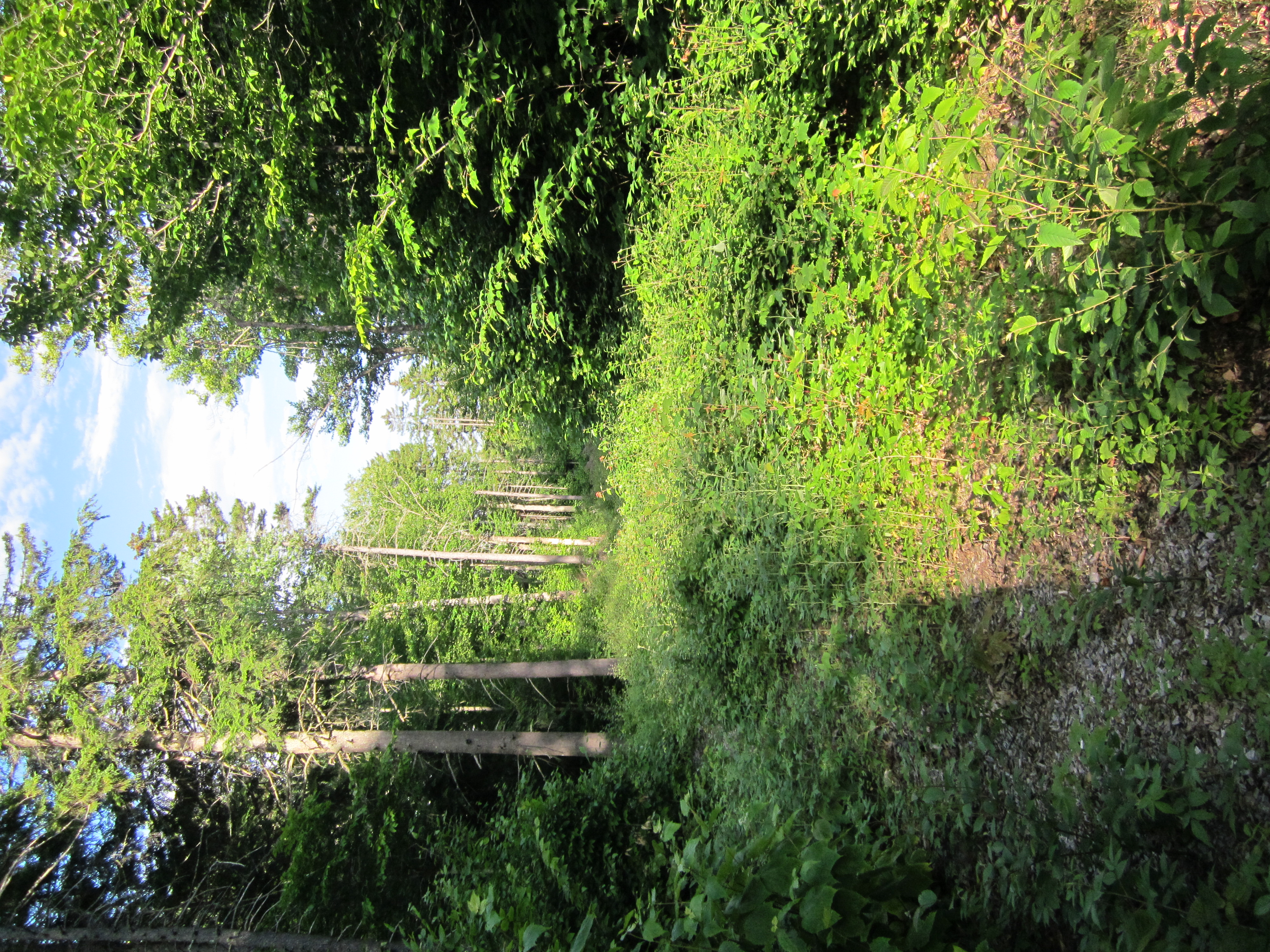
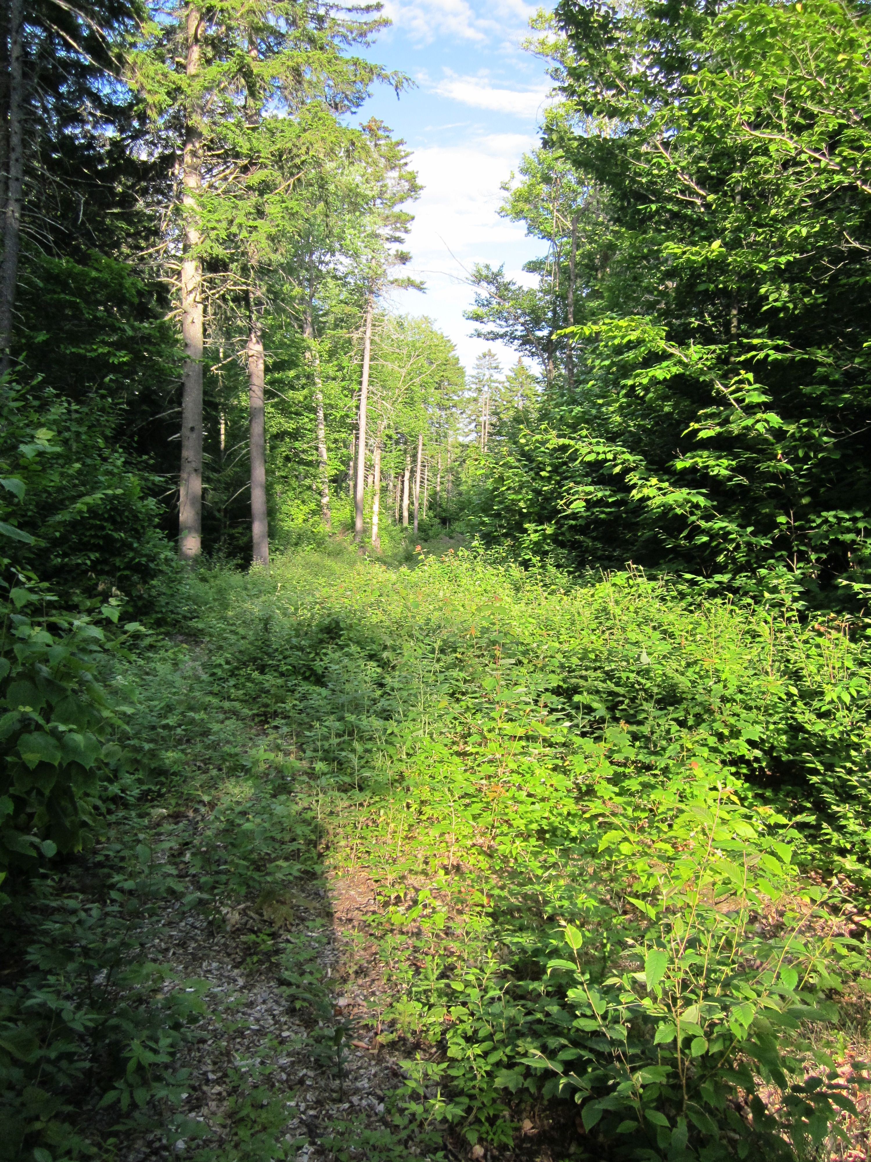
Tags: V
View from Appalachian Trail

IMG_1970.JPG Original
1/125s f2.8 ISO80
Monday, July 2, 2012 10:11:49AM EDT
Tags: V
View from Appalachian Trail

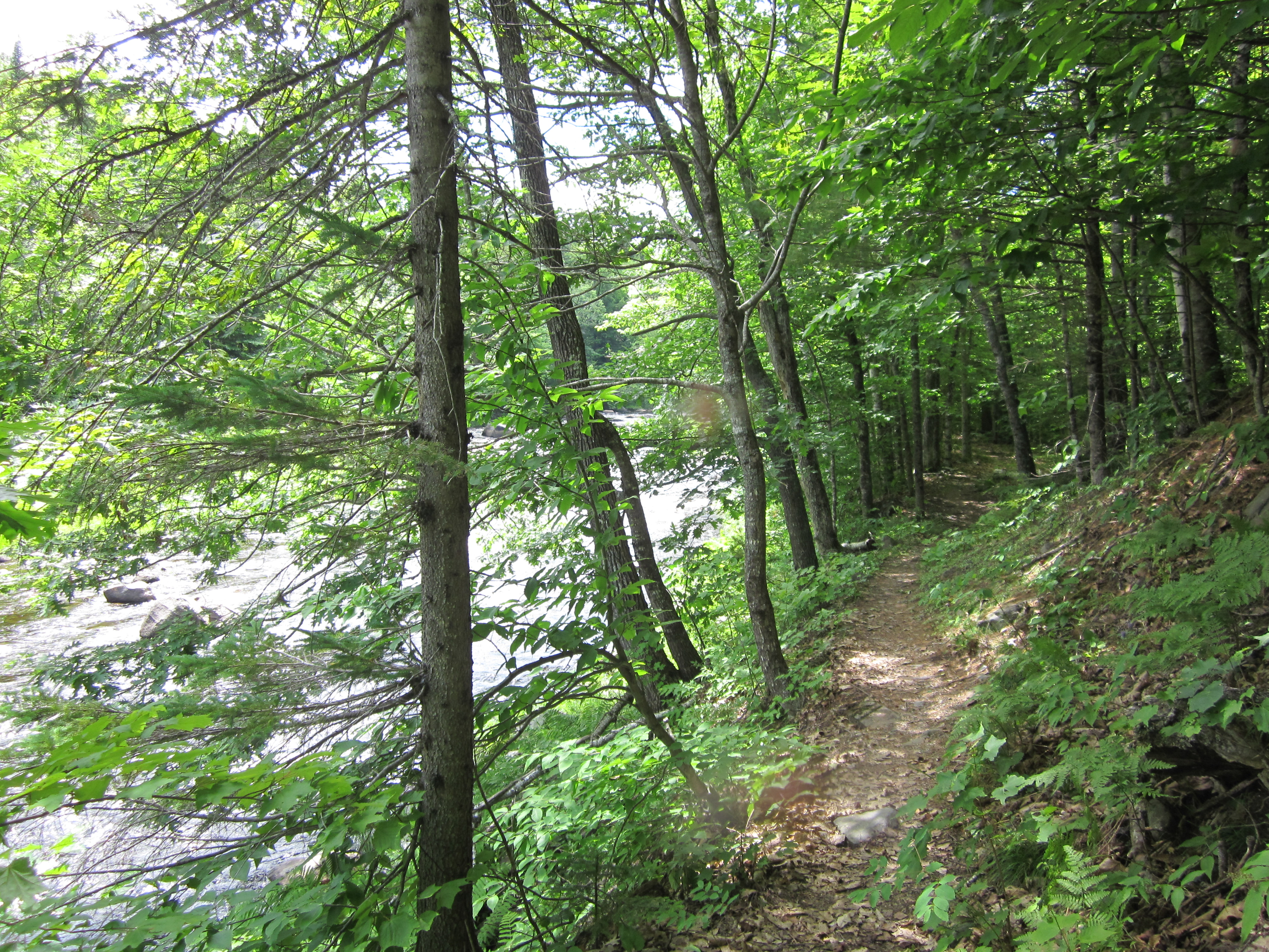
IMG_1969.JPG Original
1/60s f2.8 ISO80
Monday, July 2, 2012 10:11:34AM EDT
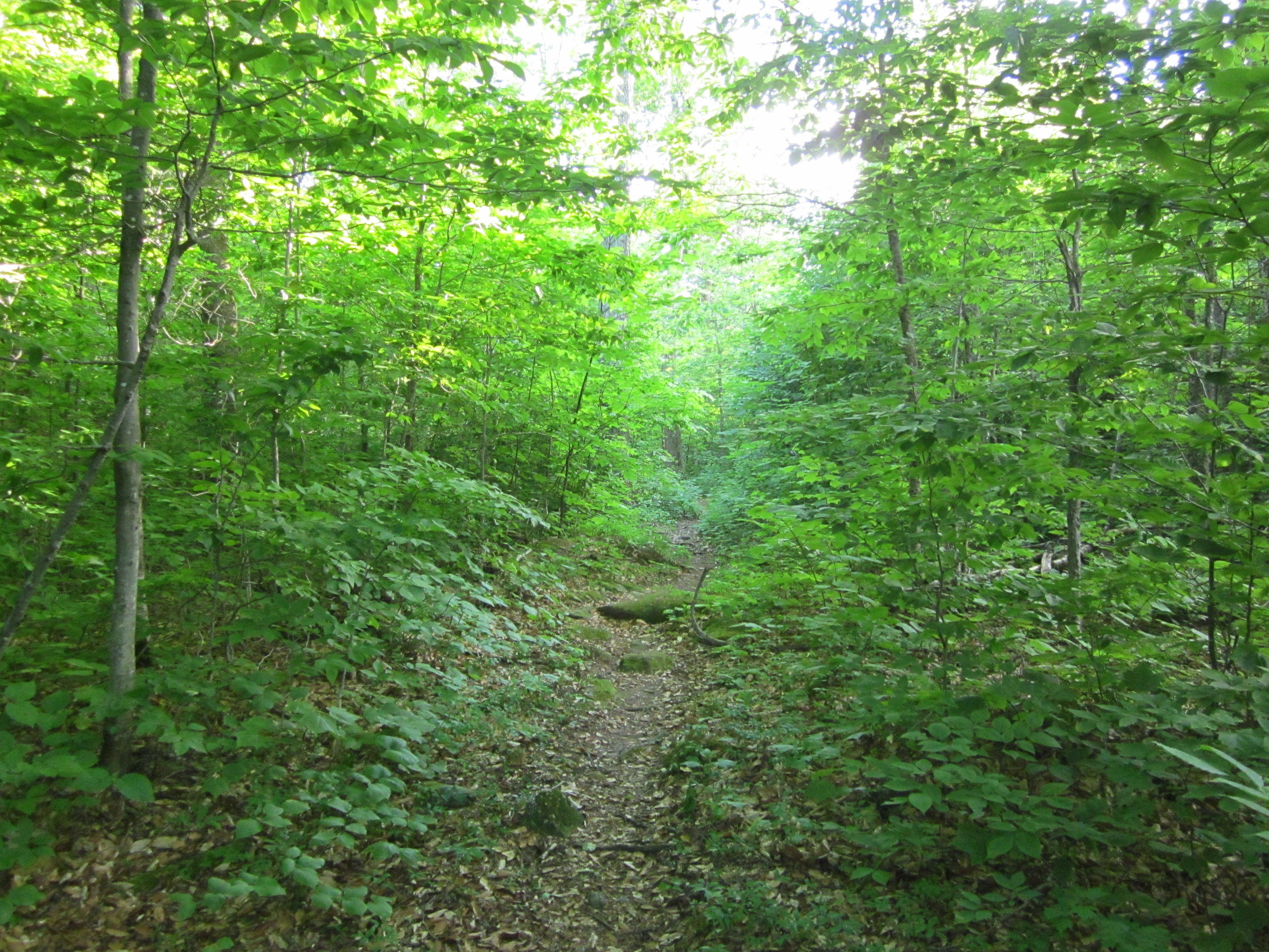
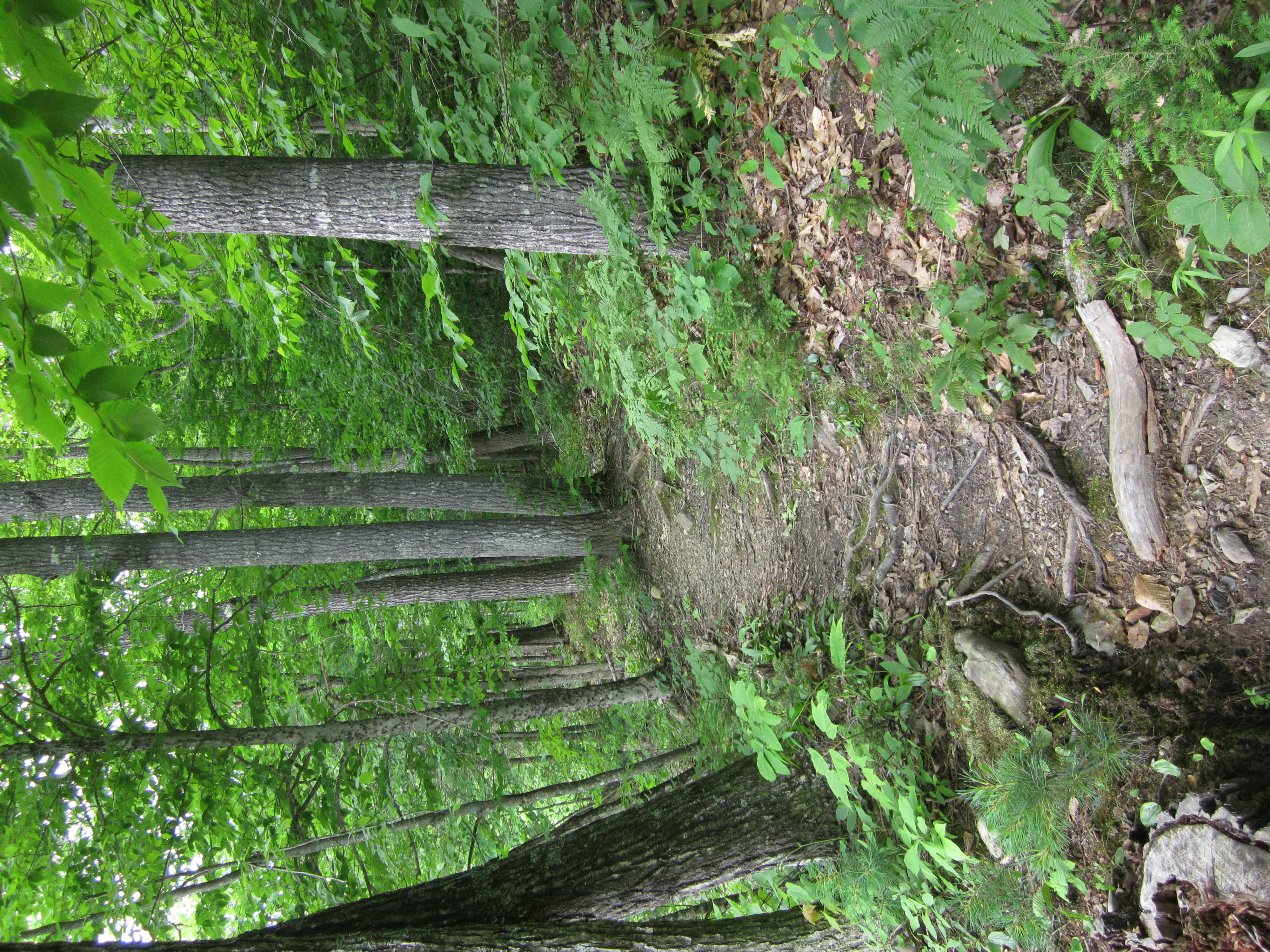
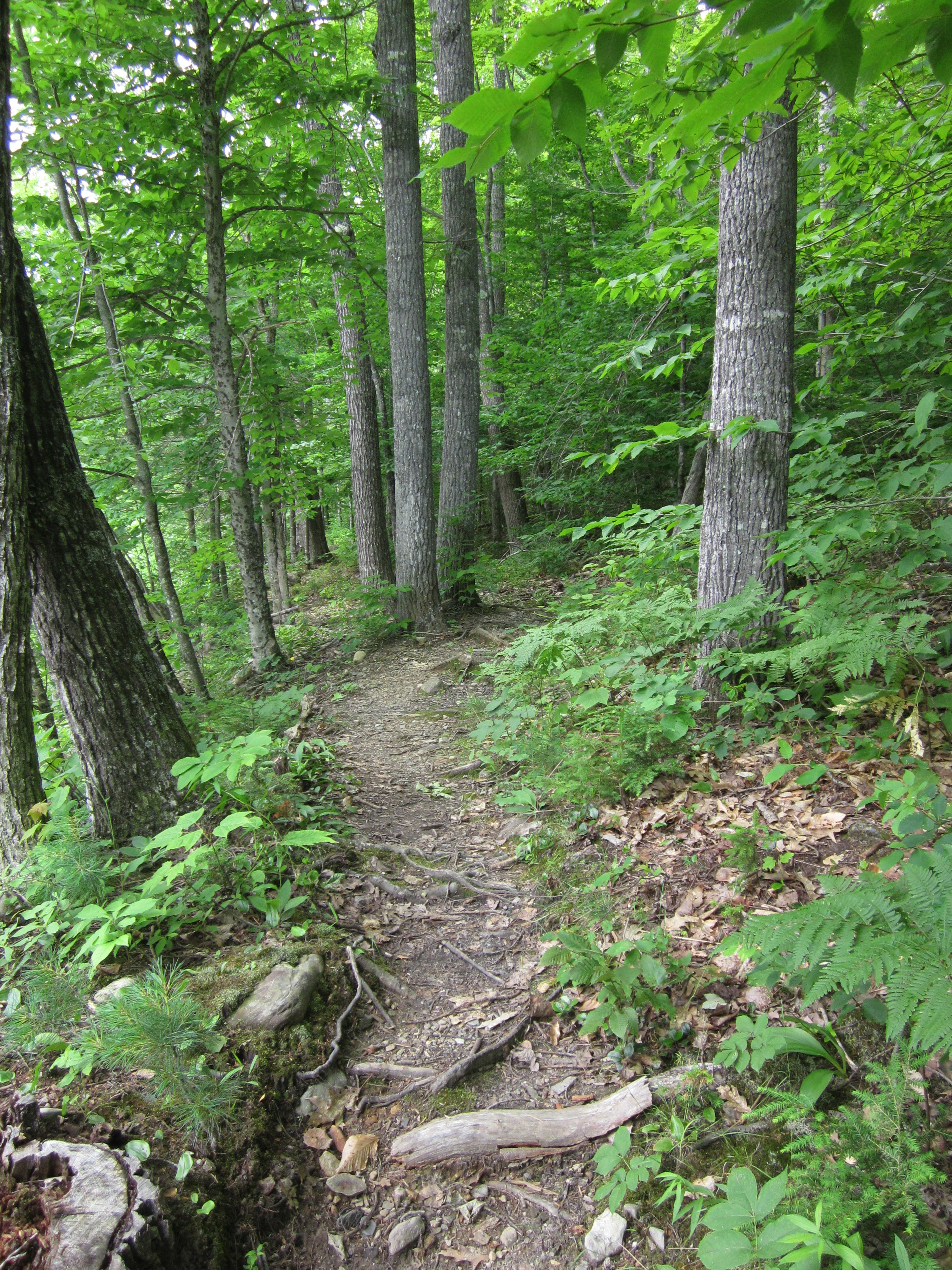
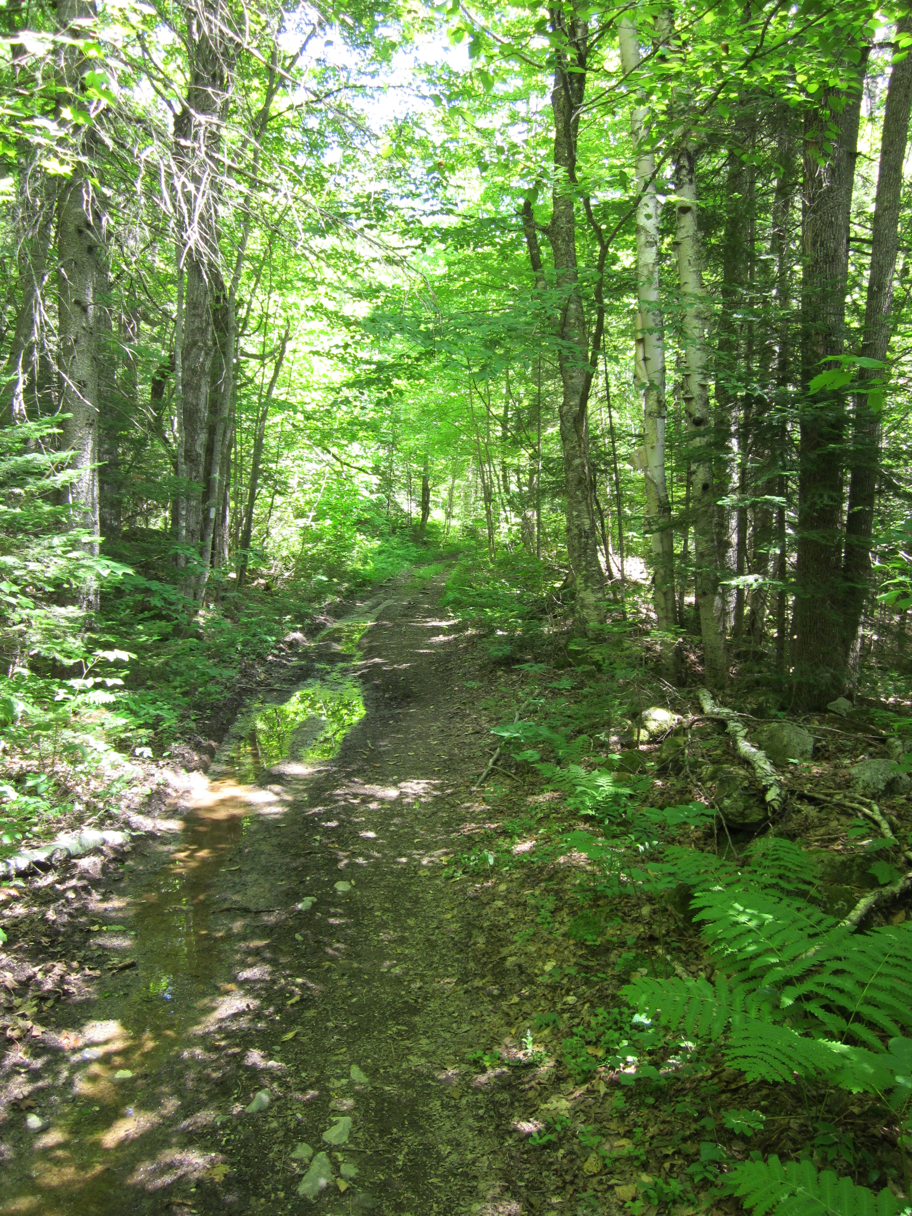
Tags: T
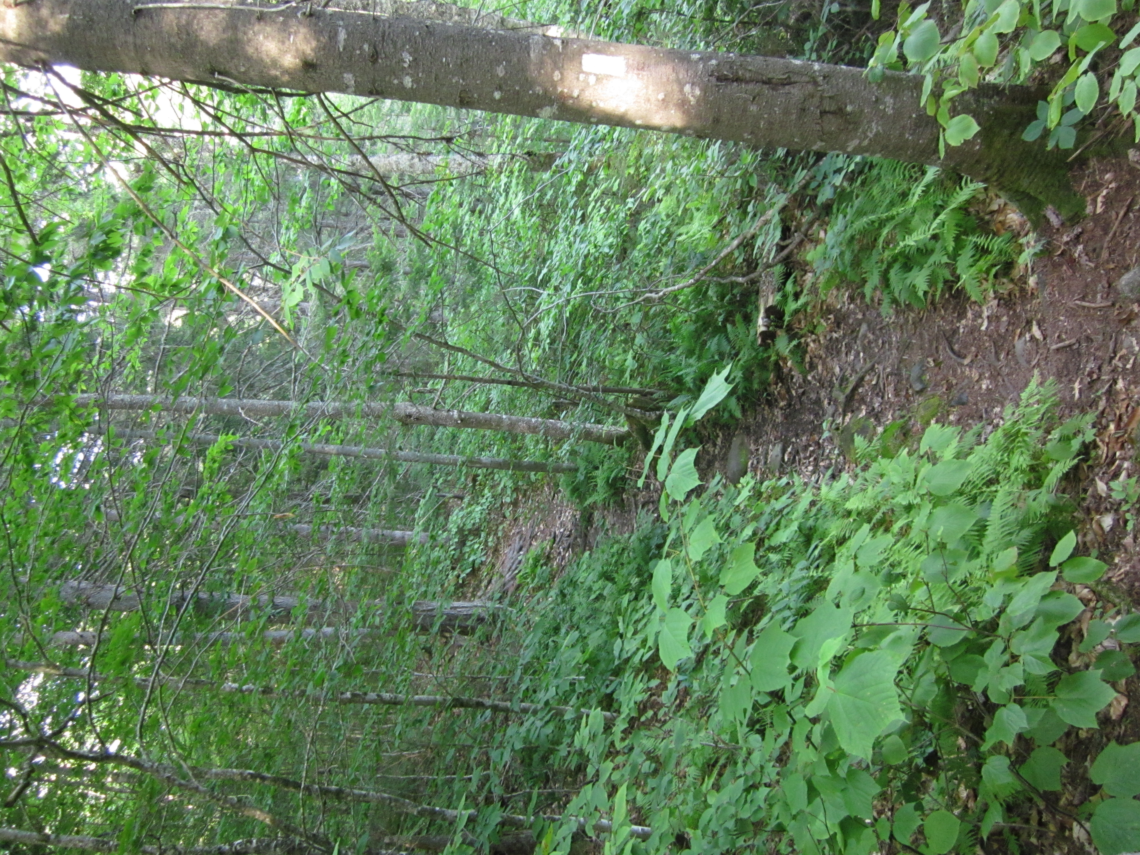
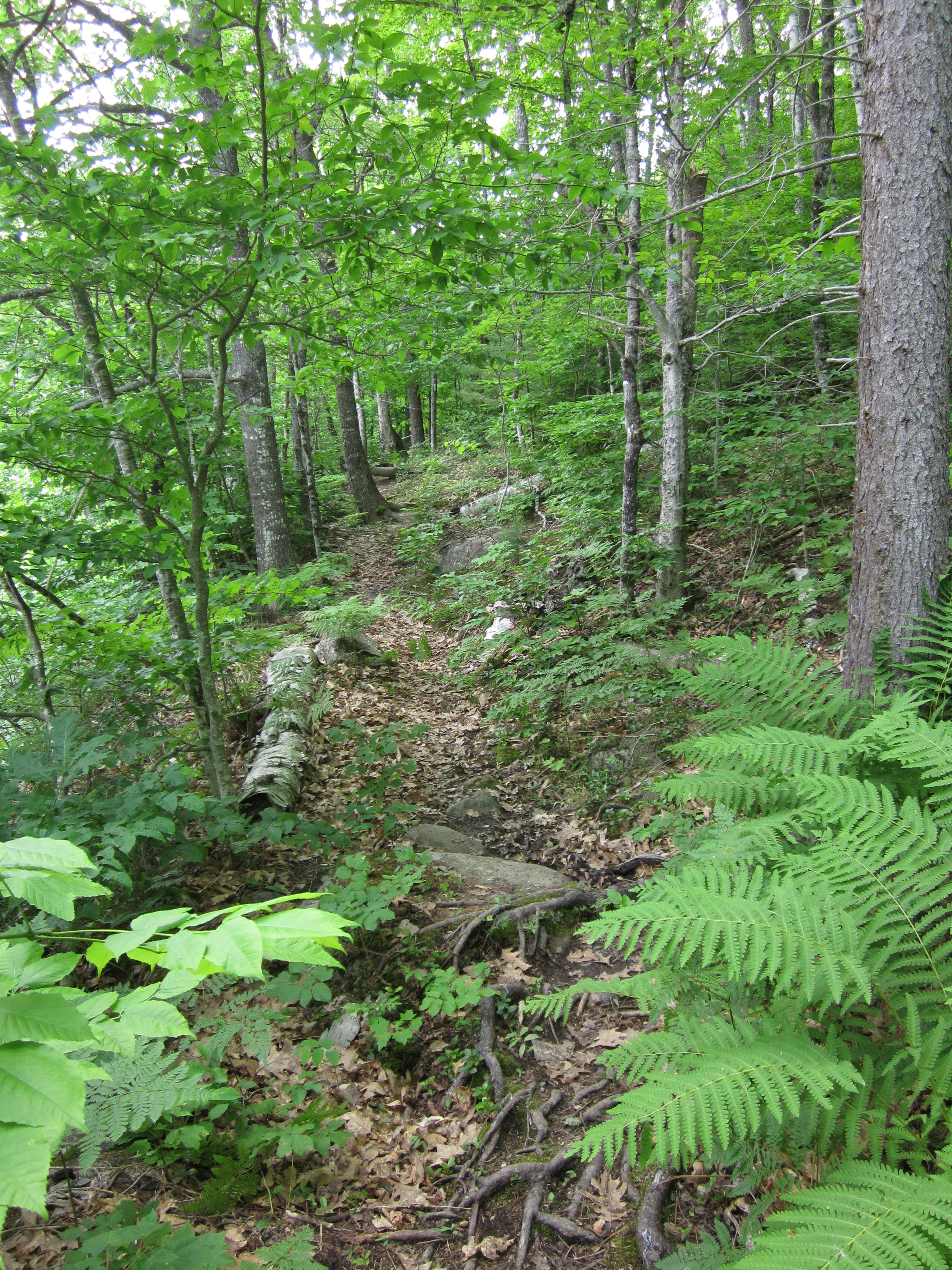
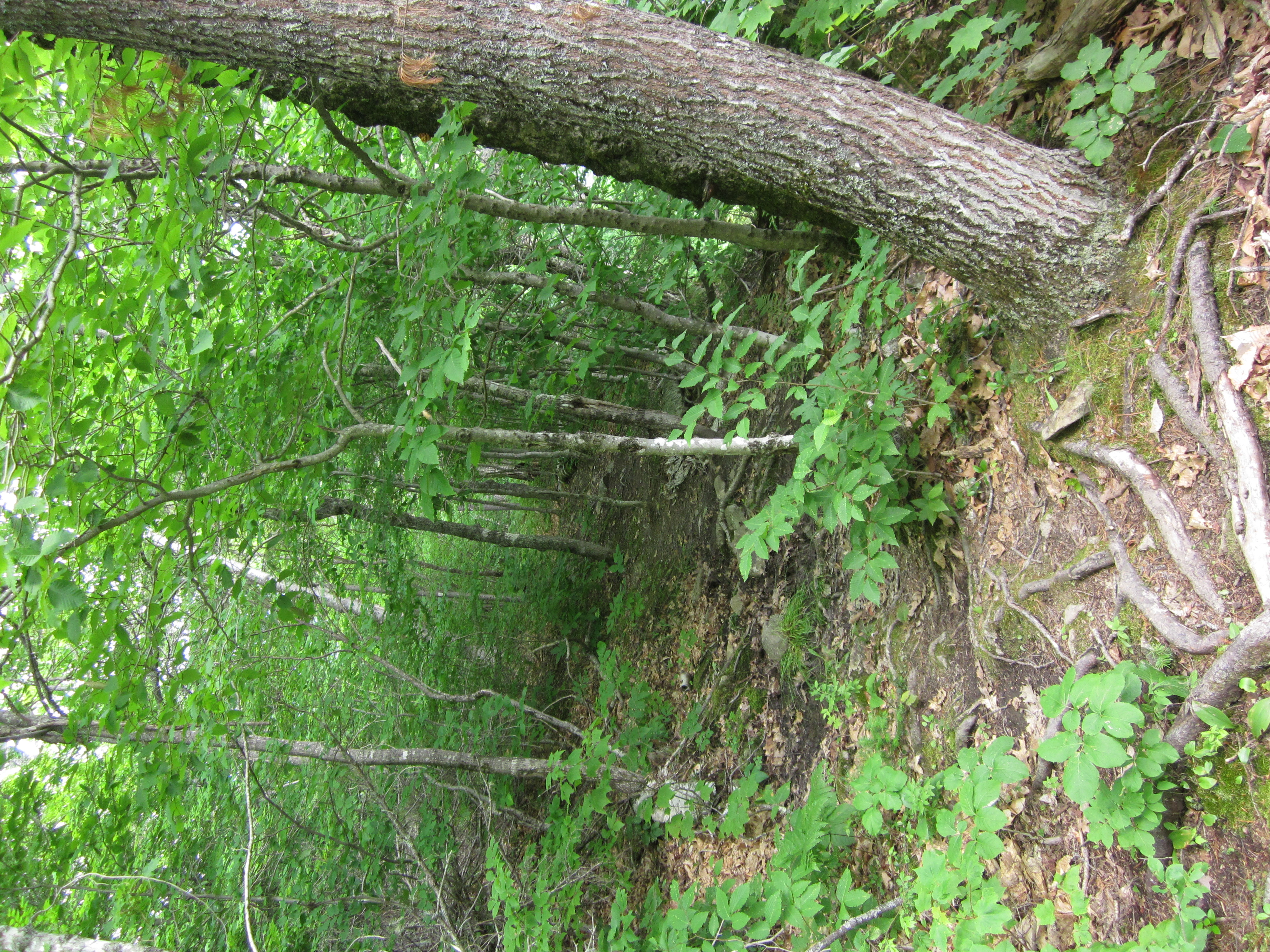
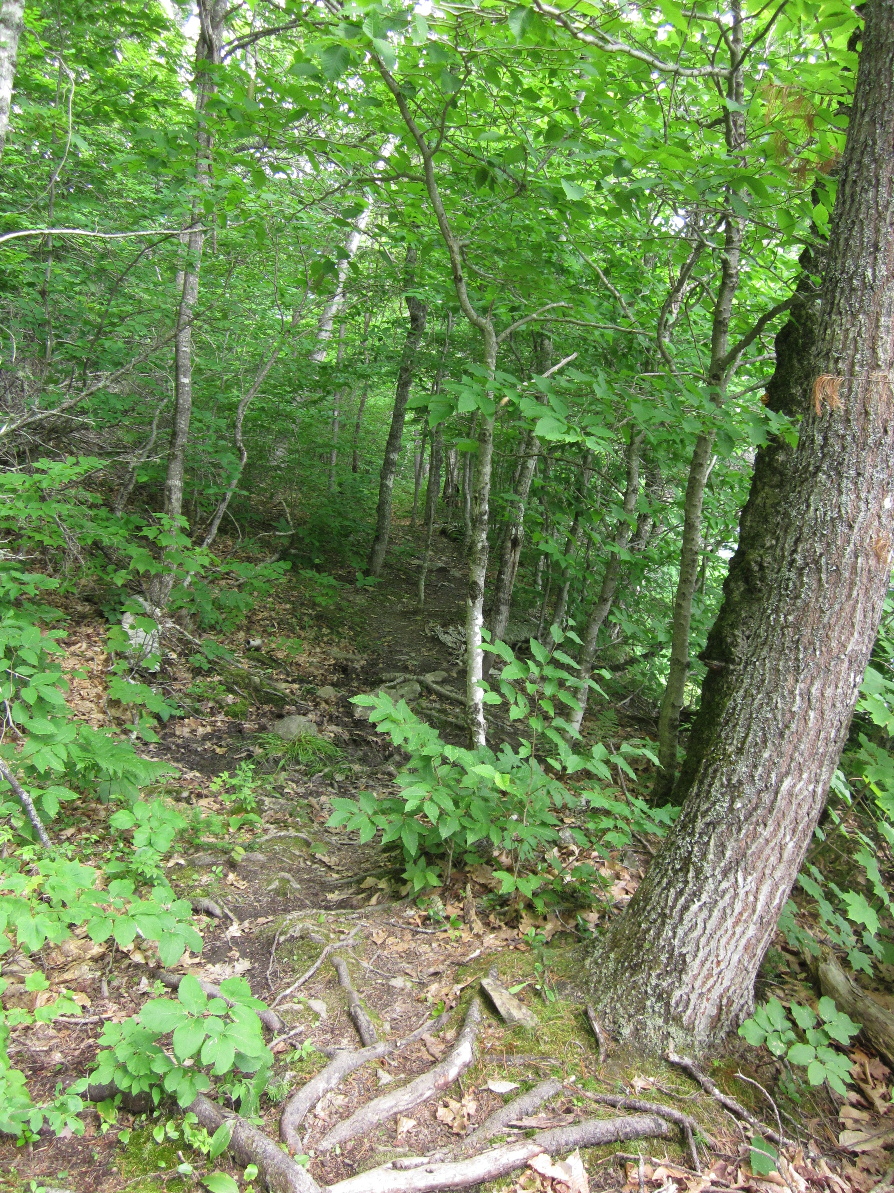
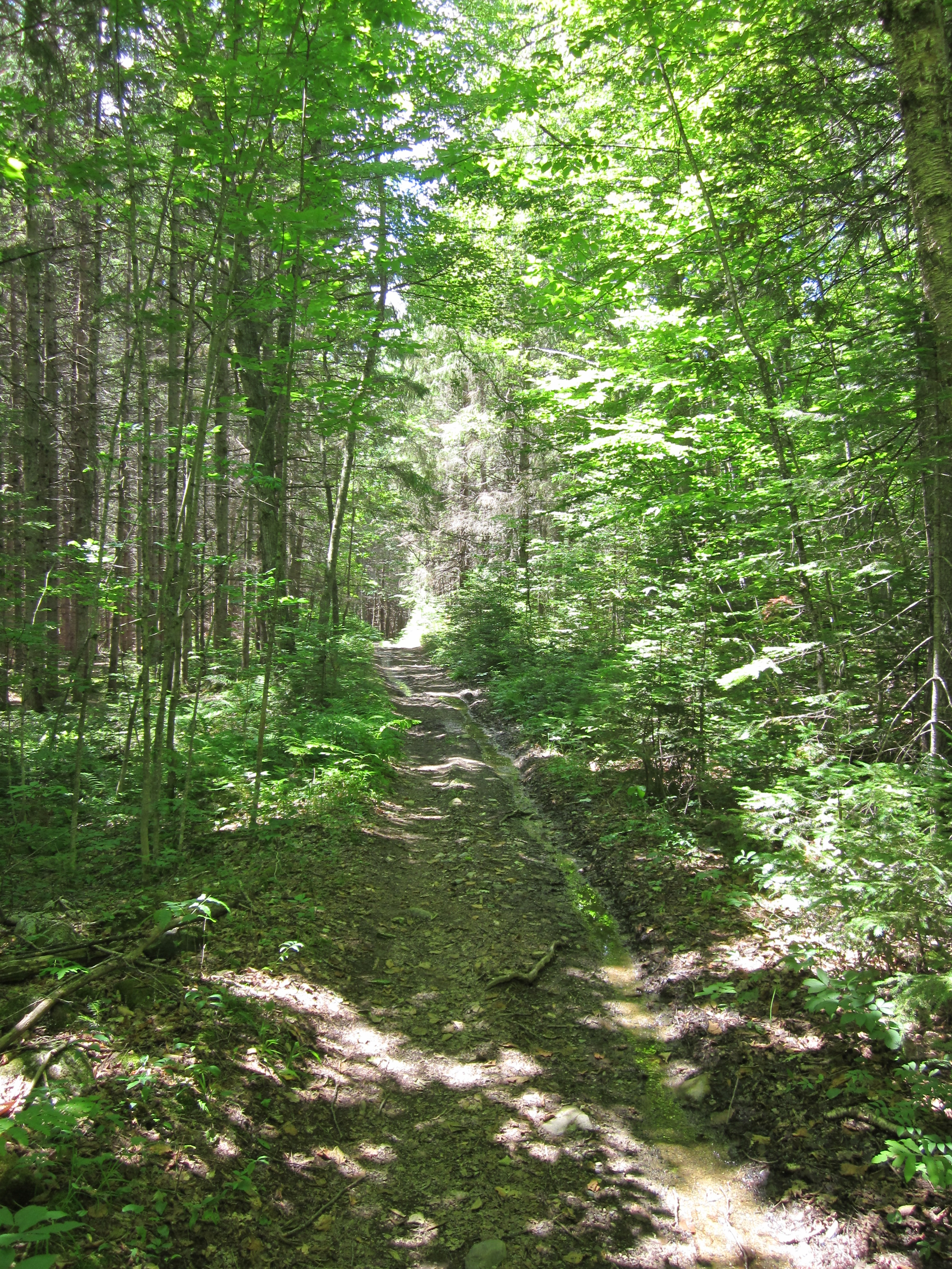
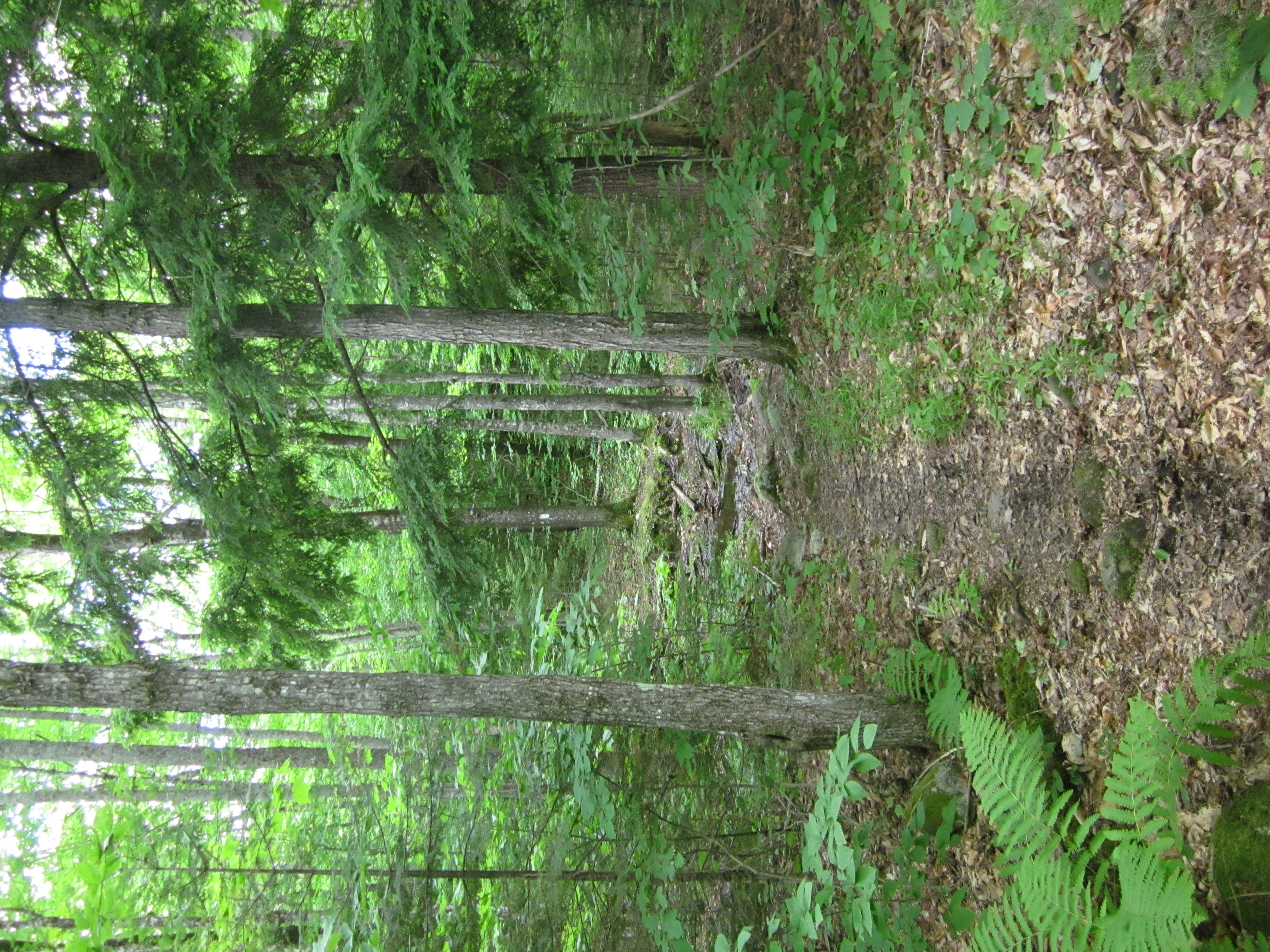
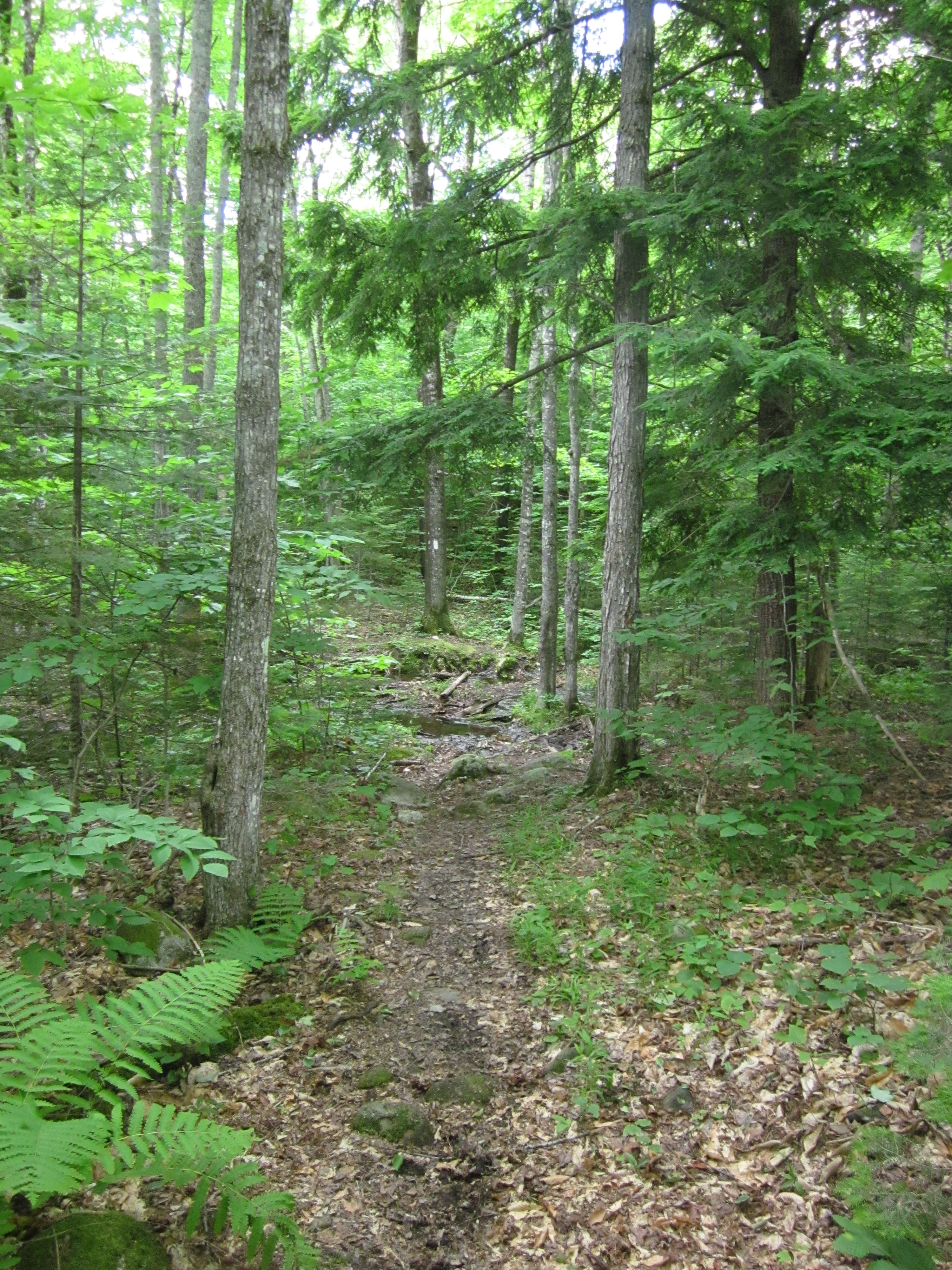
Appalachian Trail.

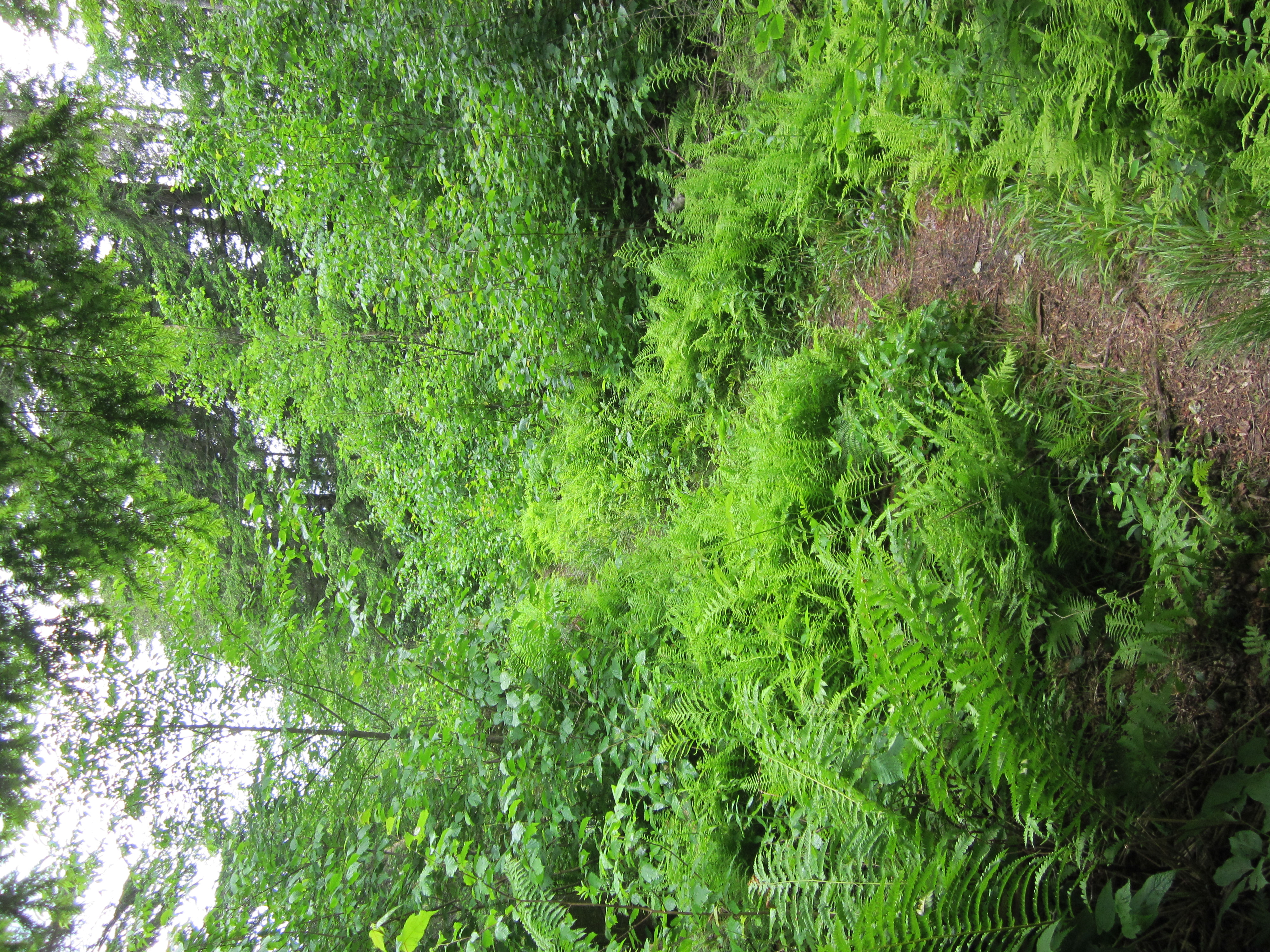
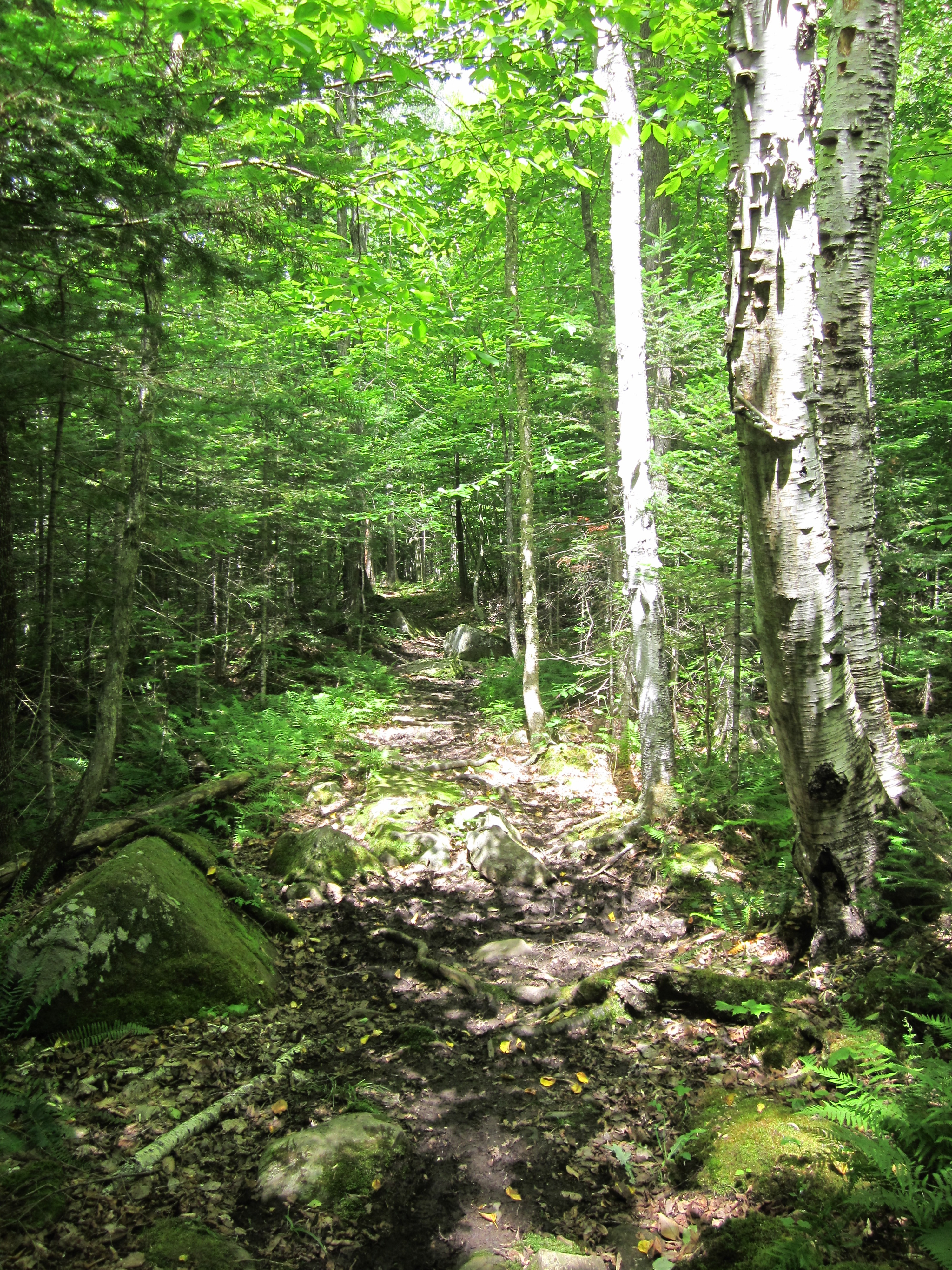
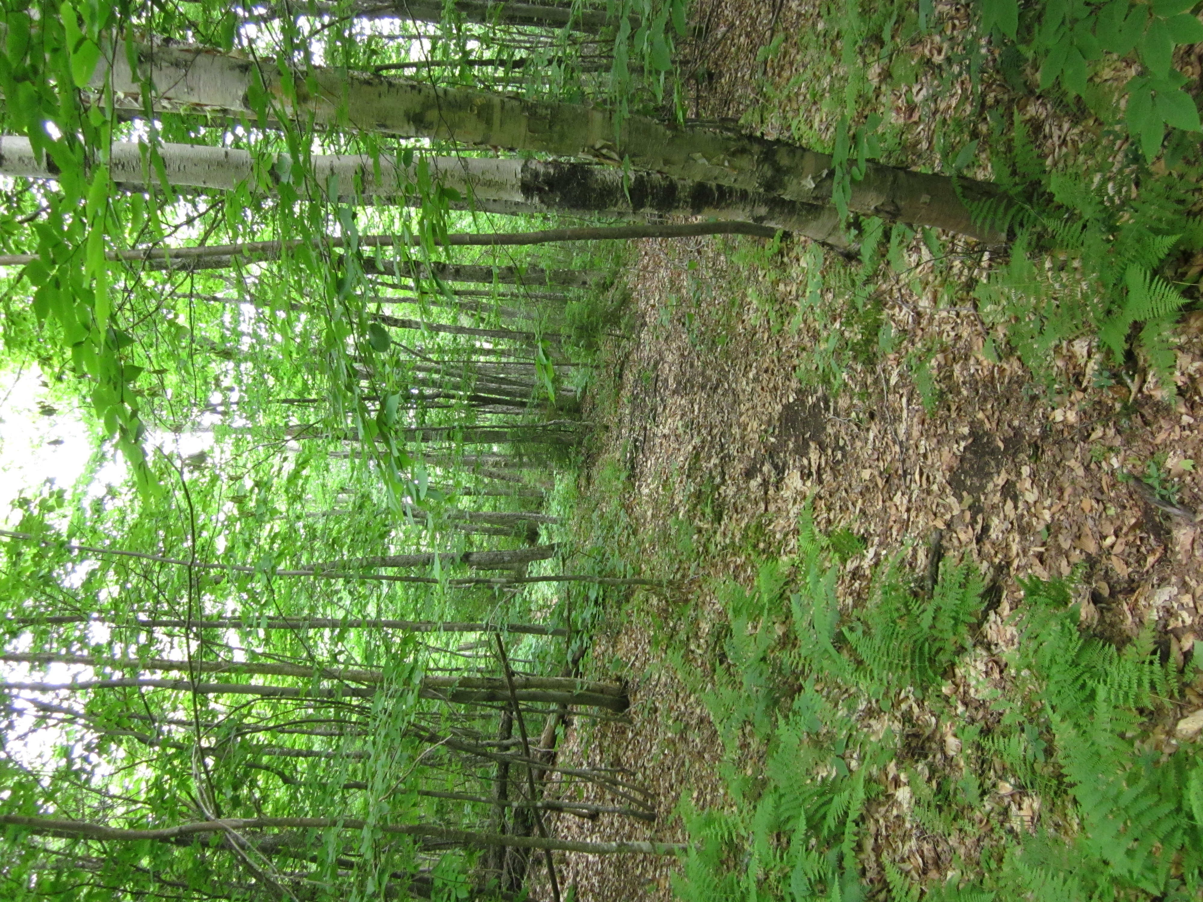
IMG_1968.JPG Original
1/40s f2.8 ISO400
Full size rotated image
Rotation angle: 90
Monday, July 2, 2012 10:11:12AM EDT
Tags: T
Appalachian Trail.

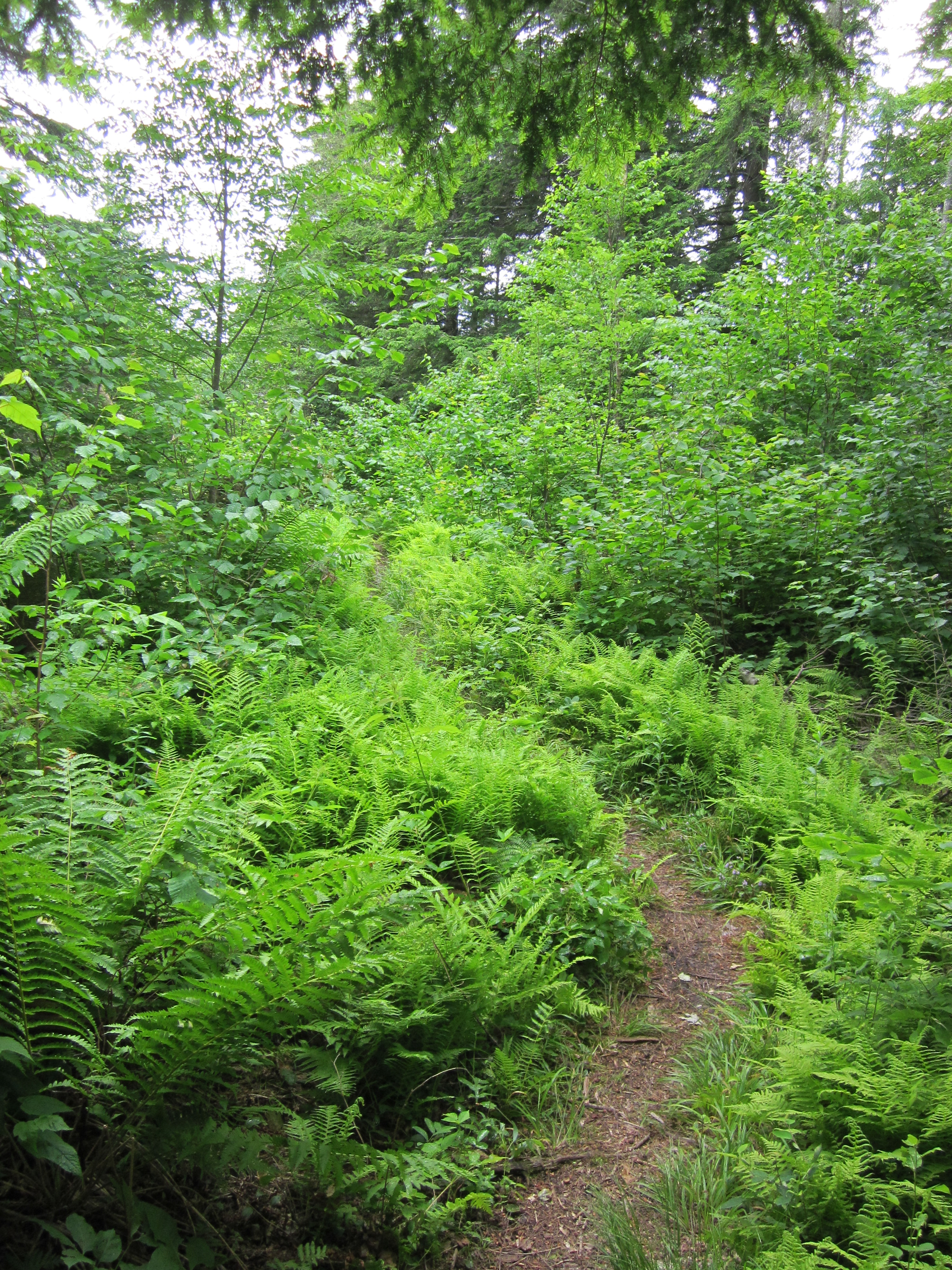
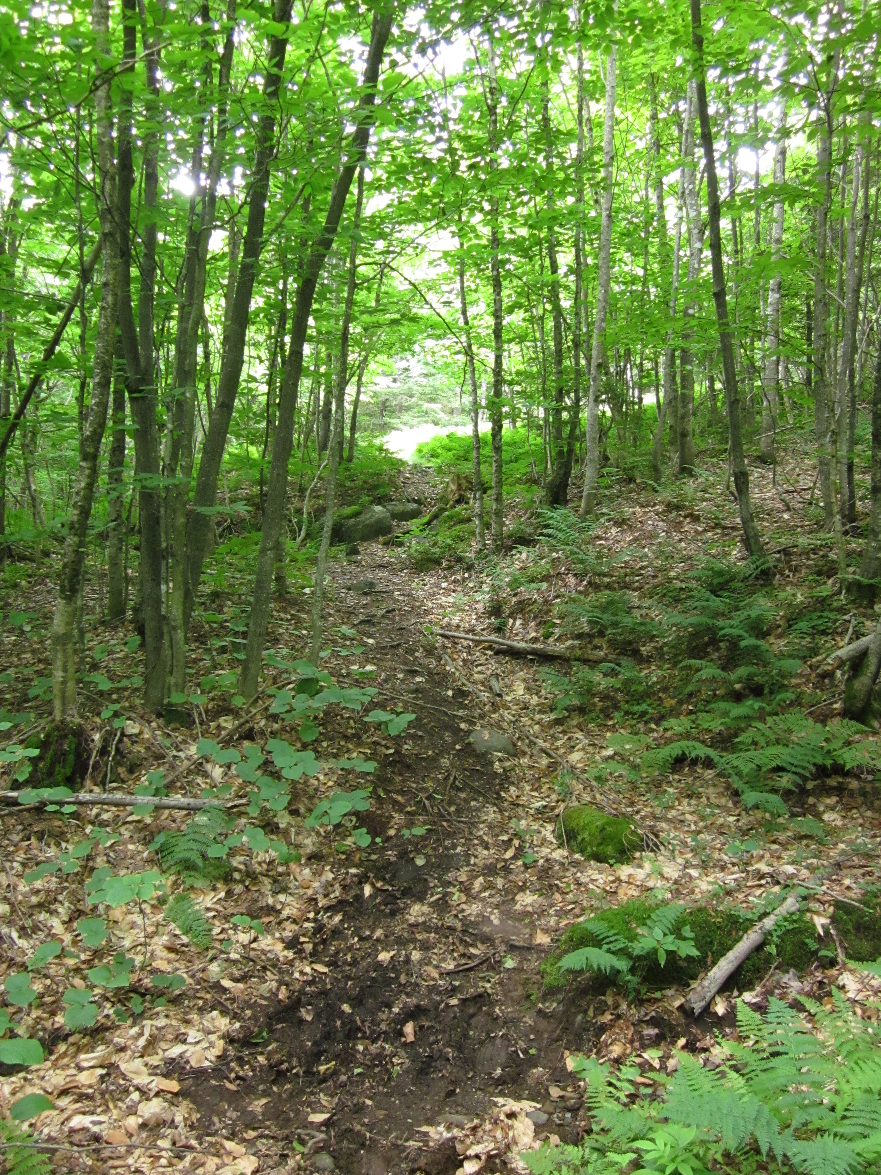
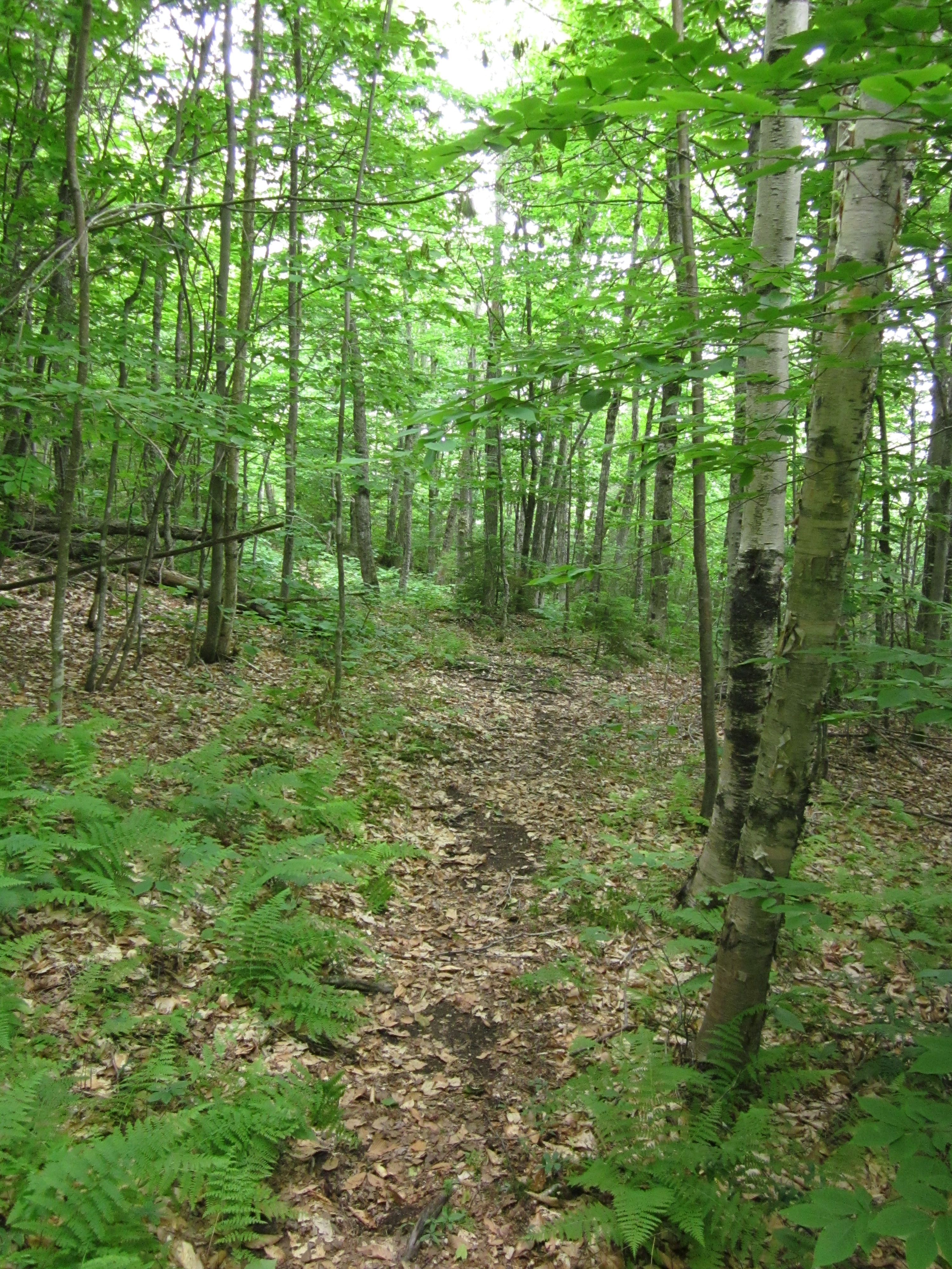
IMG_1967.JPG Original
1/50s f2.8 ISO400
Full size rotated image
Rotation angle: 90
Monday, July 2, 2012 10:11:06AM EDT
Tags: T
Appalachian Trail.
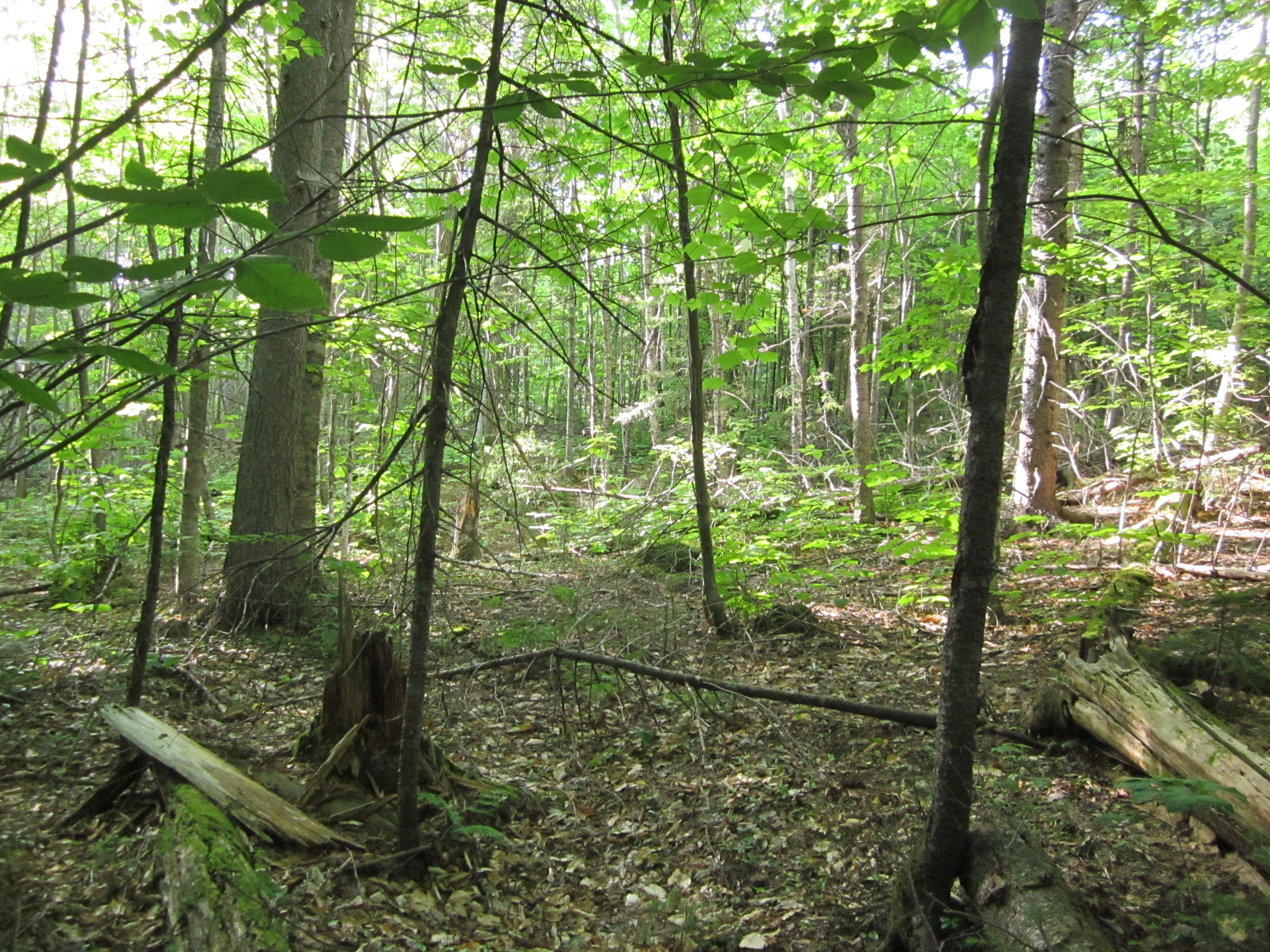
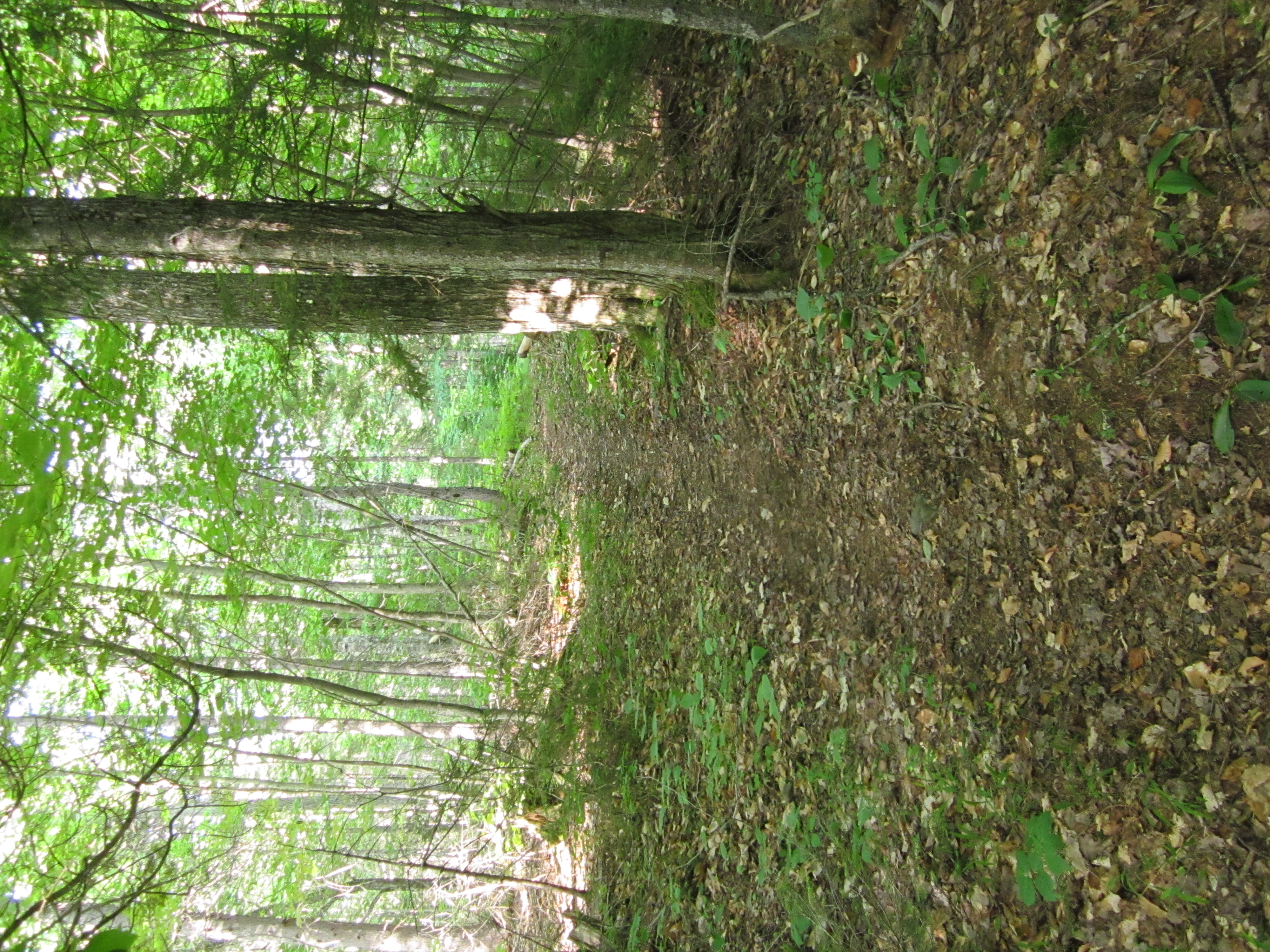
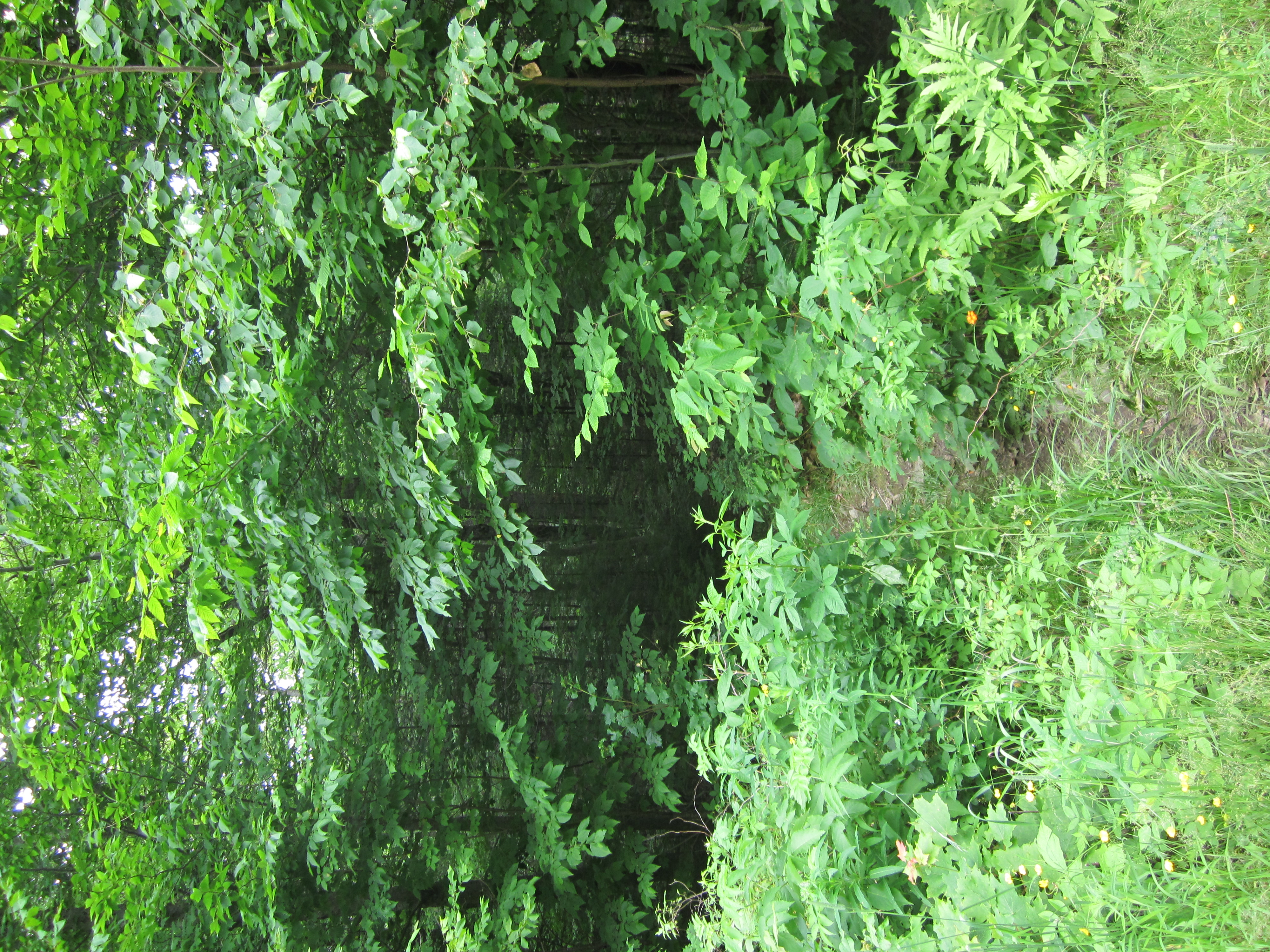
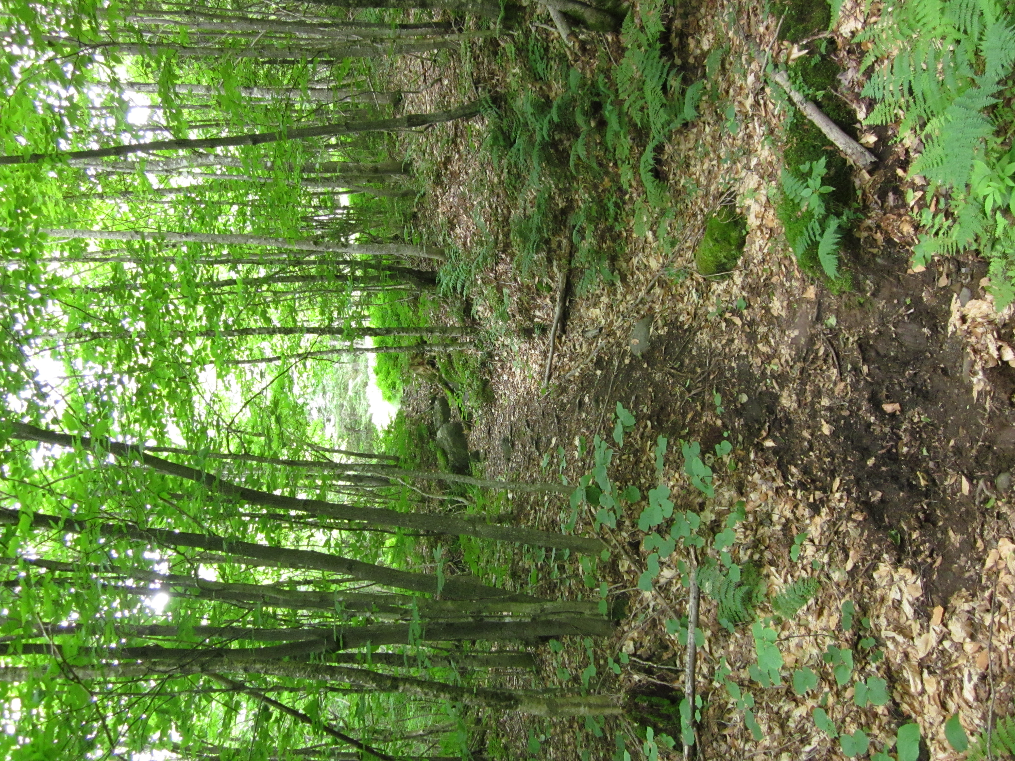
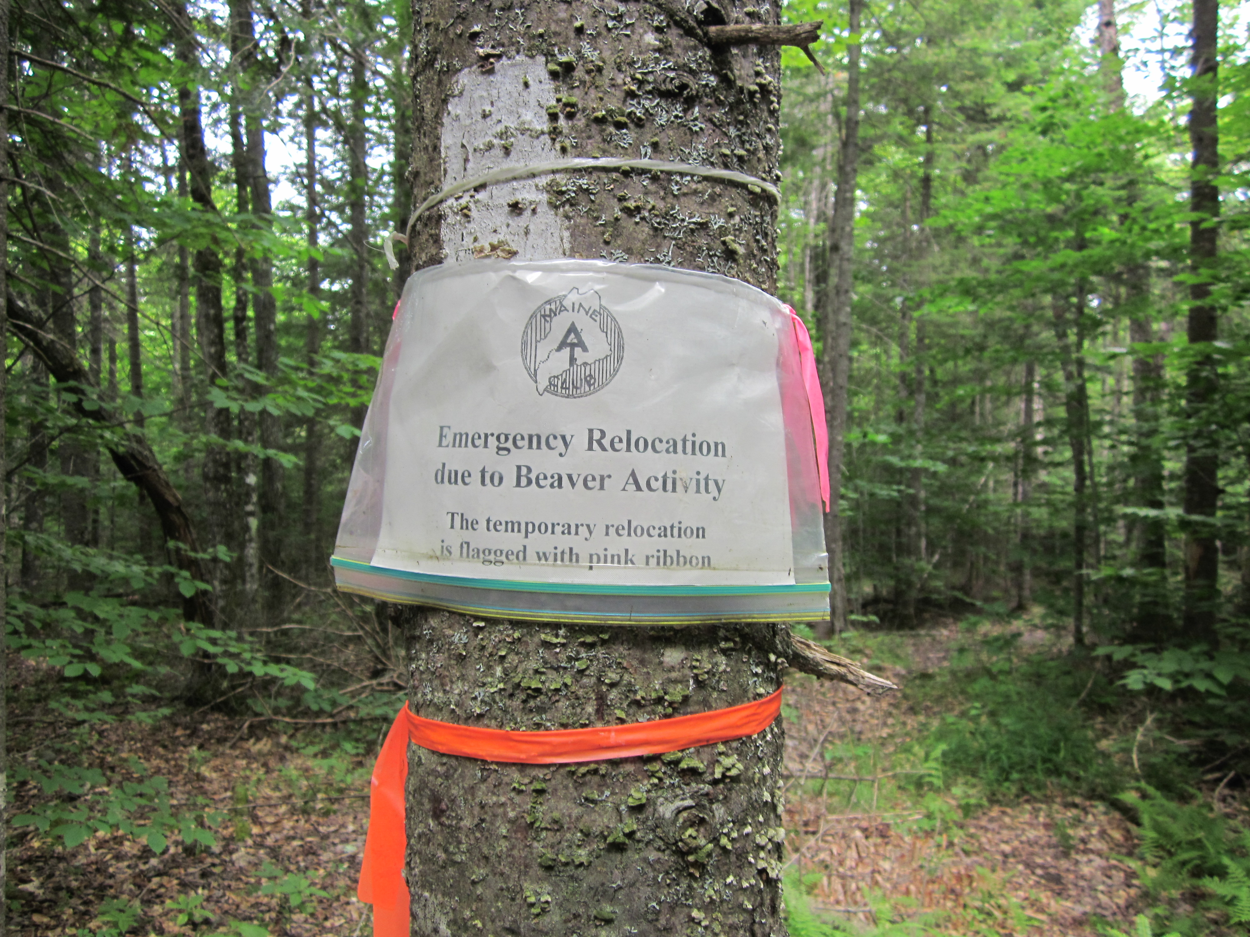
Beaver activity caused trail relocation

IMG_1966.JPG Original
1/80s f2.8 ISO80
Monday, July 2, 2012 10:01:23AM EDT
Tags: S
Appalachian Trail sign.
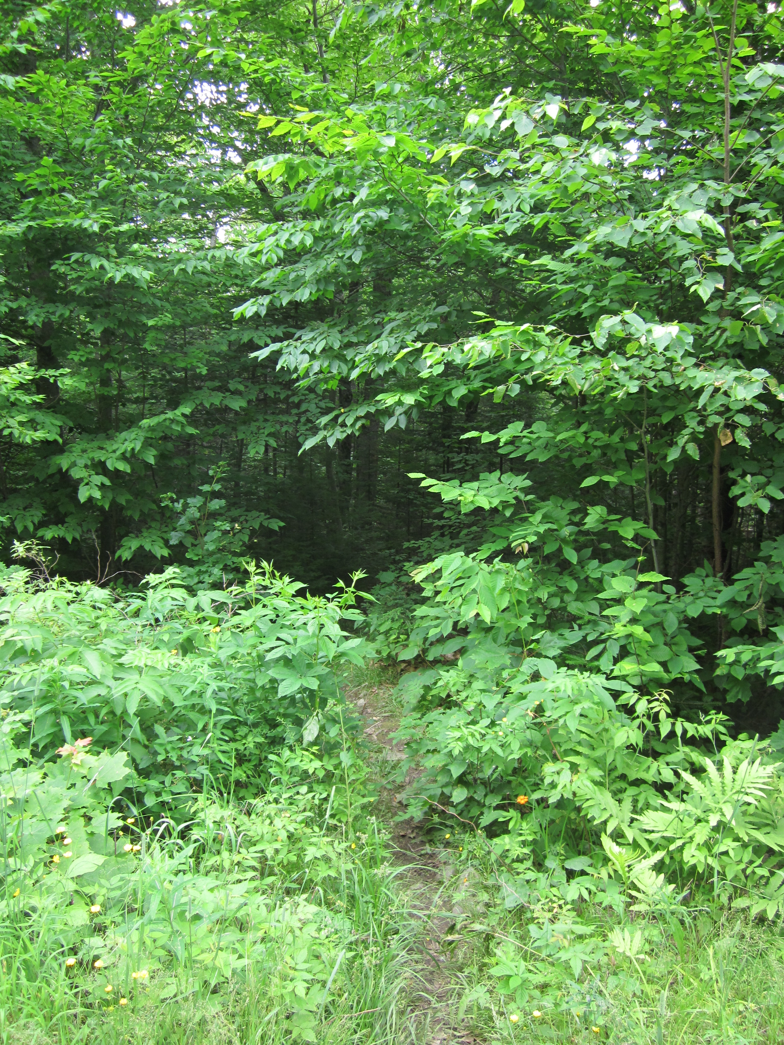
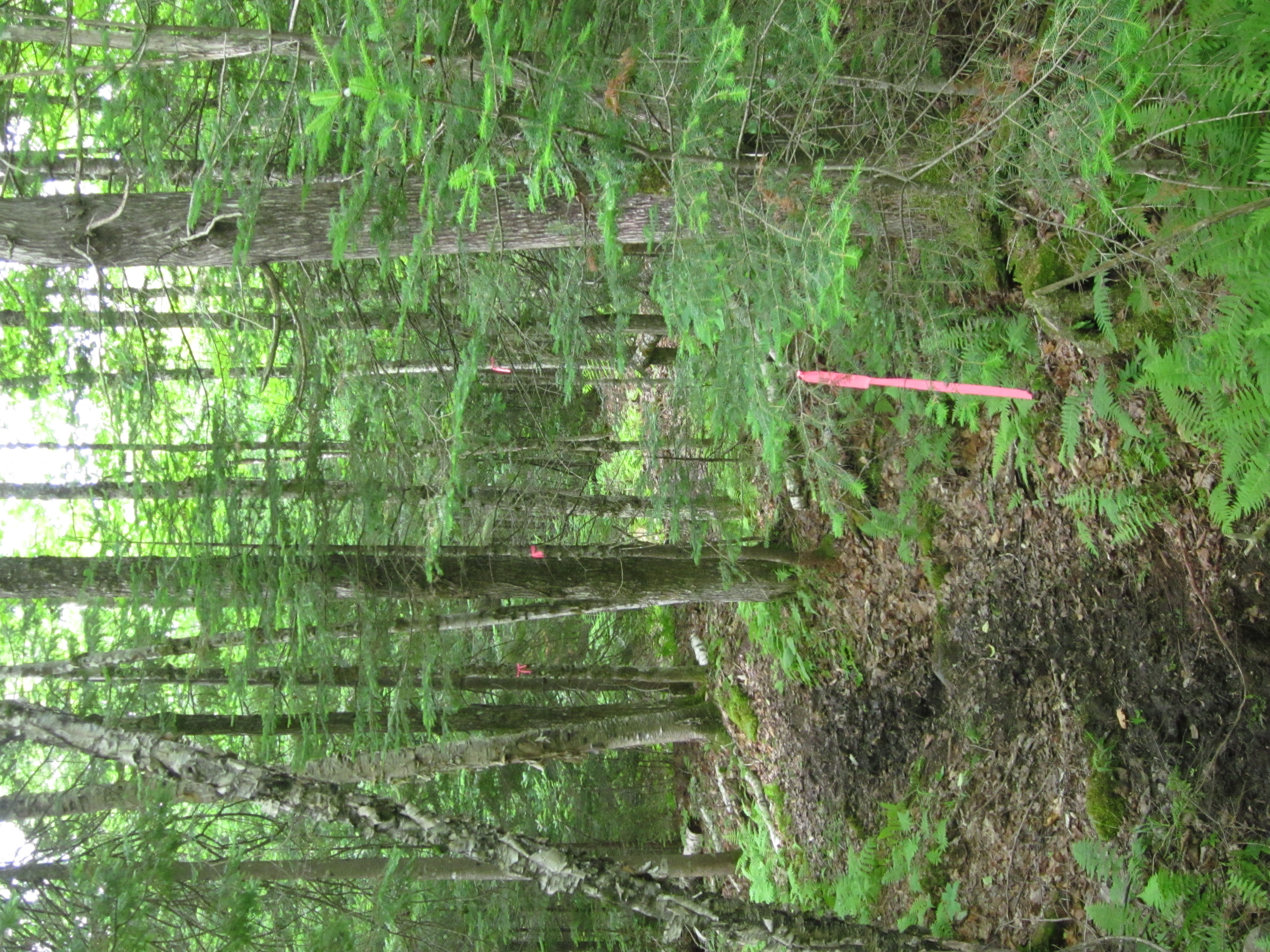
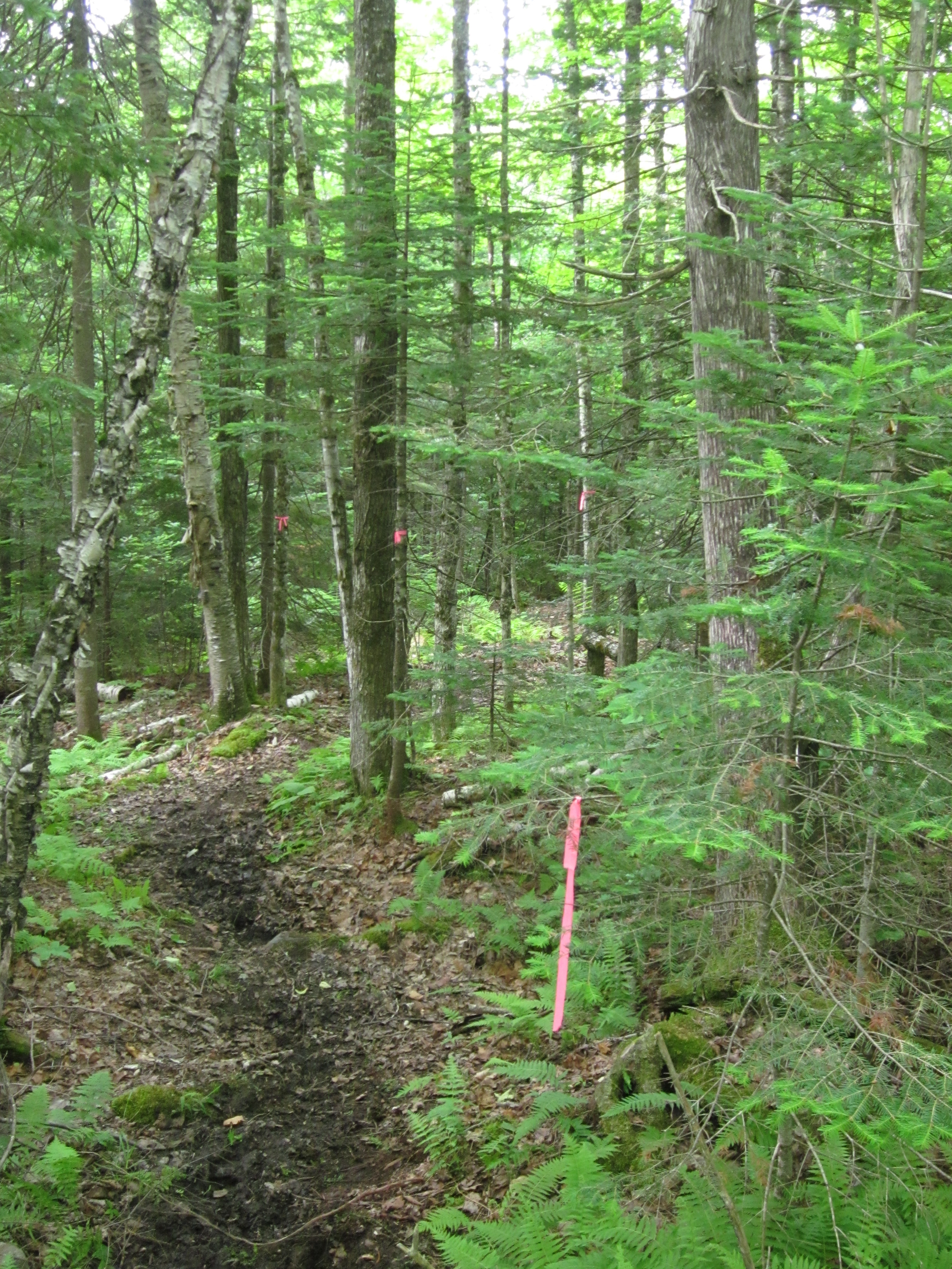
Temporary trail marker

IMG_1965.JPG Original
1/60s f2.8 ISO320
Full size rotated image
Rotation angle: 90
Monday, July 2, 2012 10:00:58AM EDT
Tags: T
Appalachian Trail.
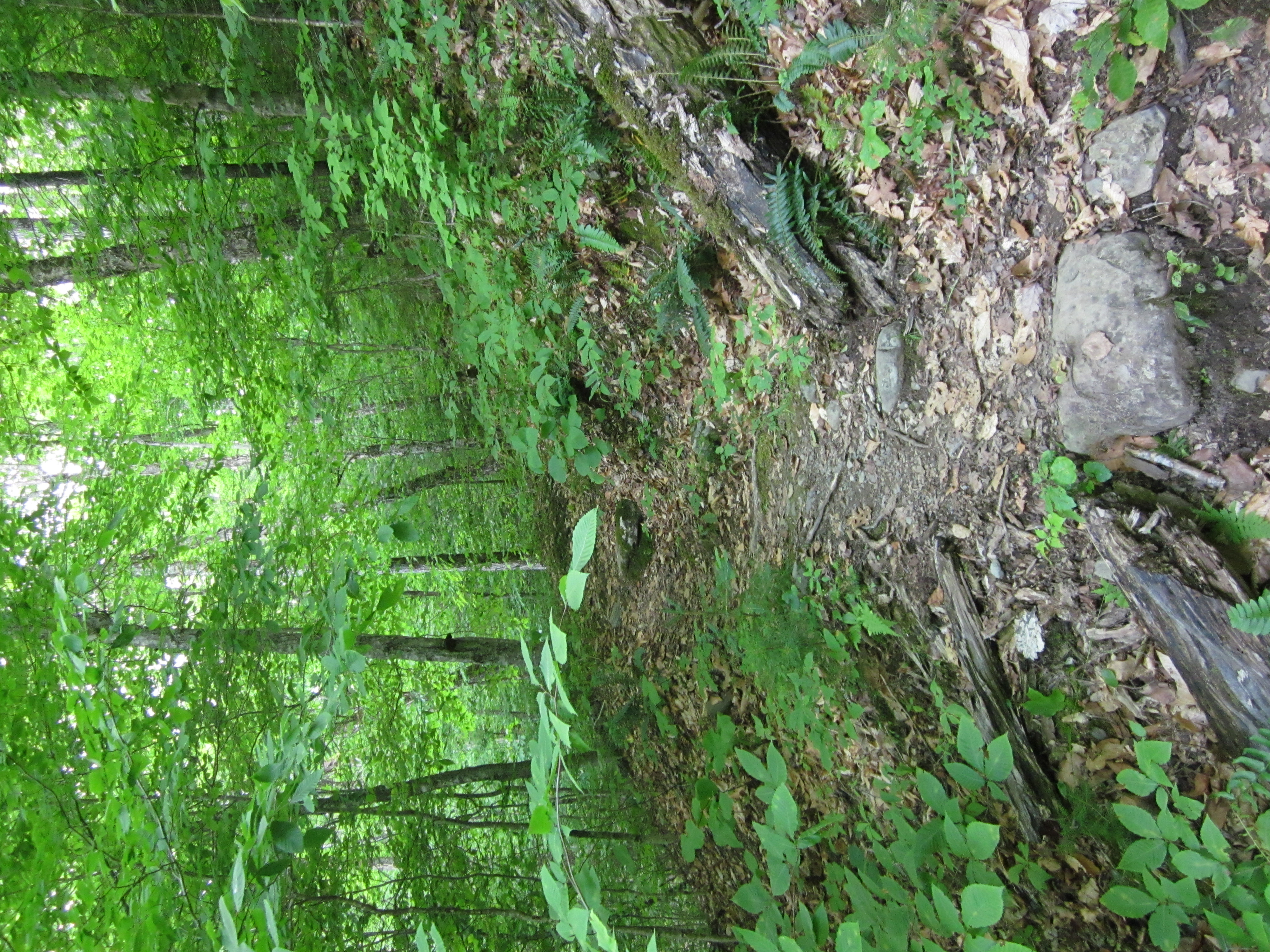
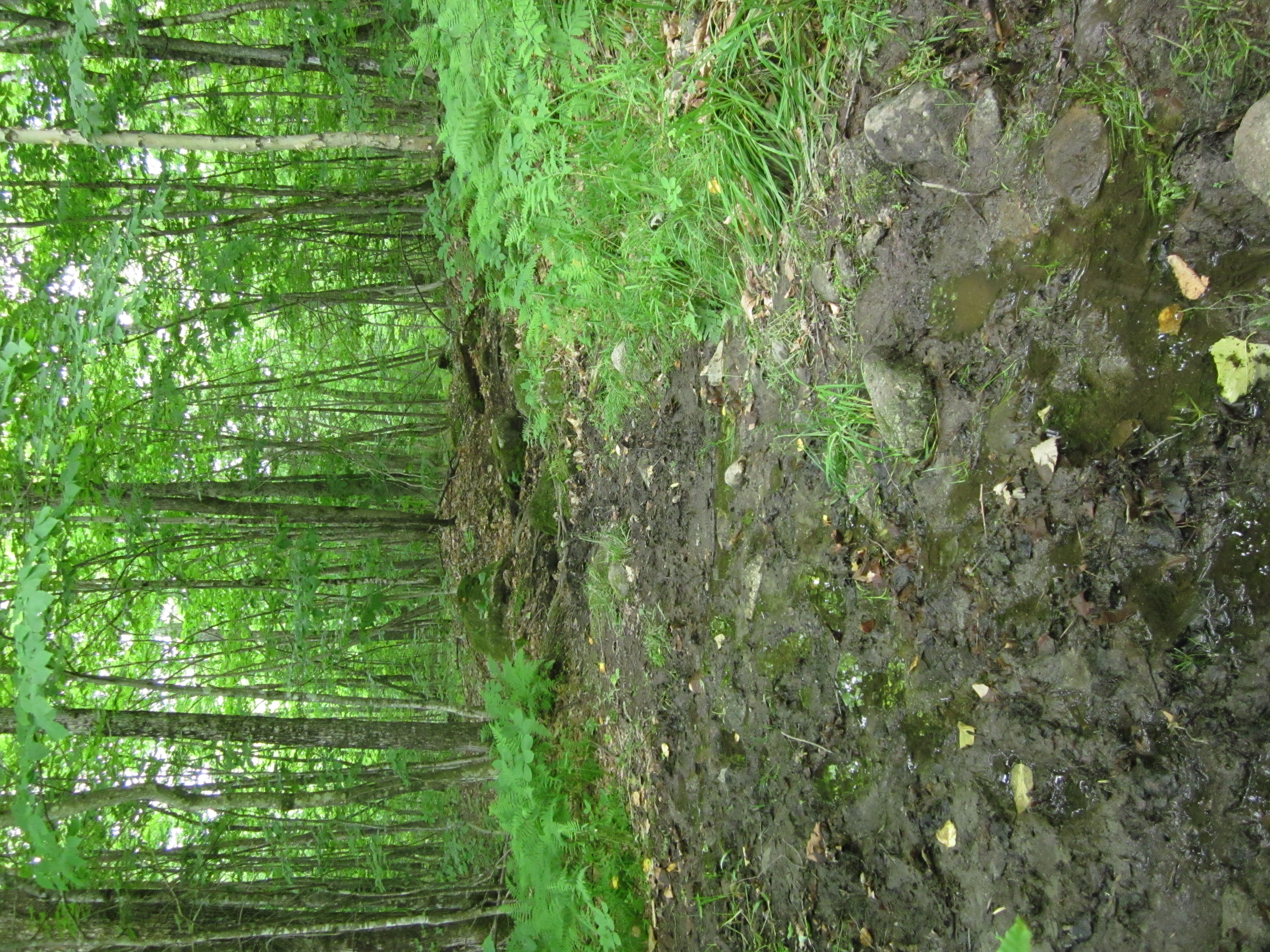
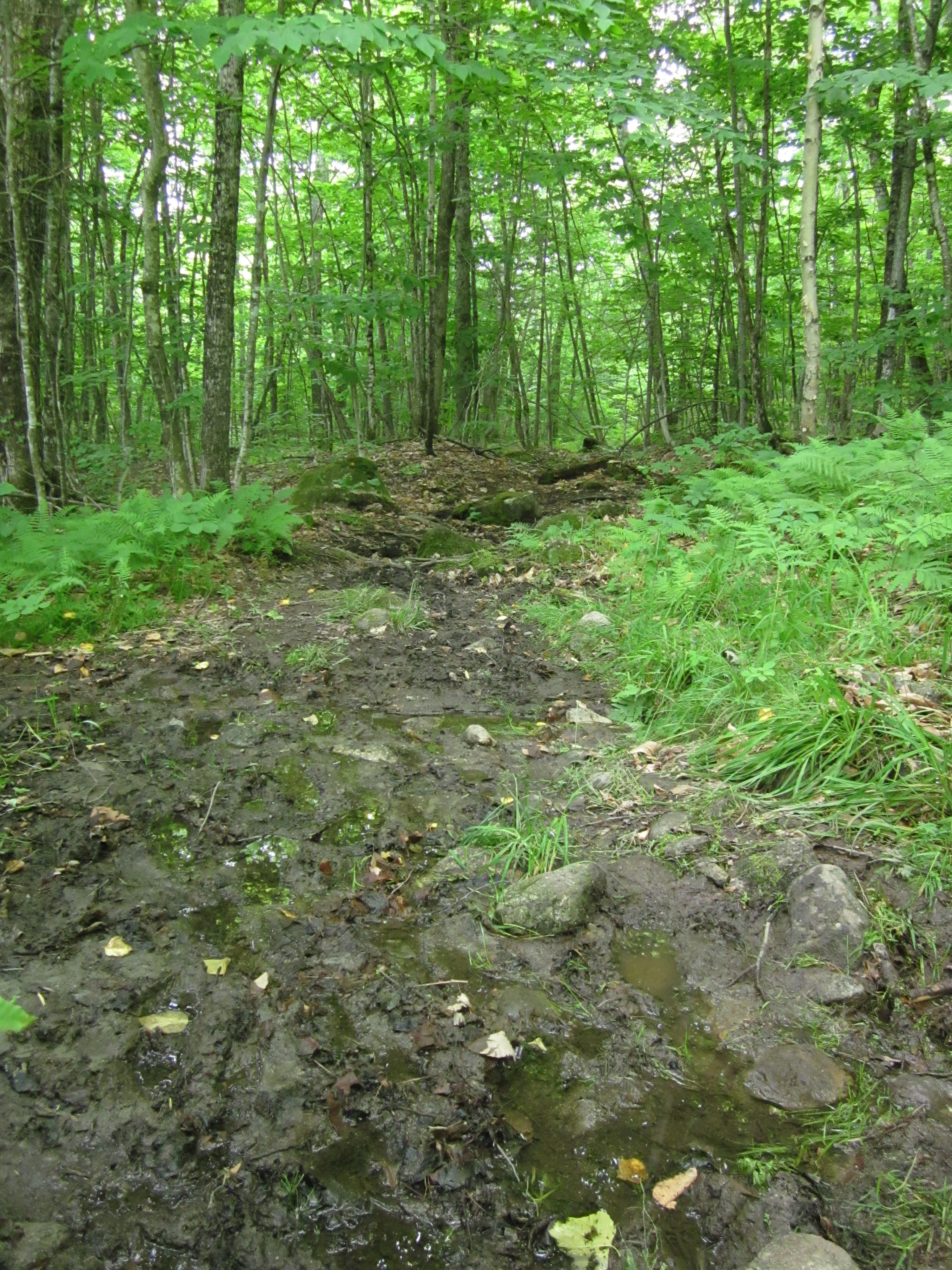
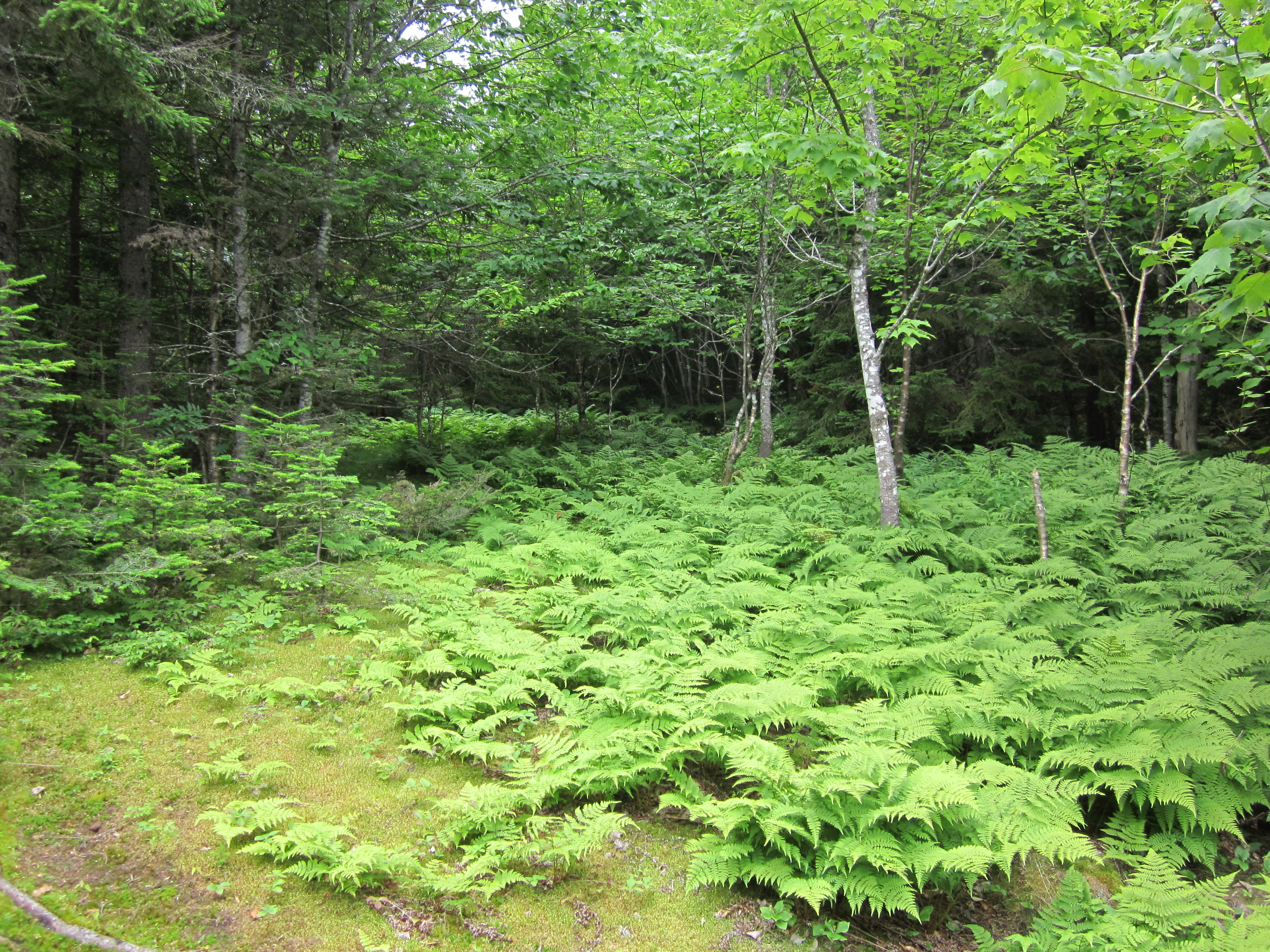
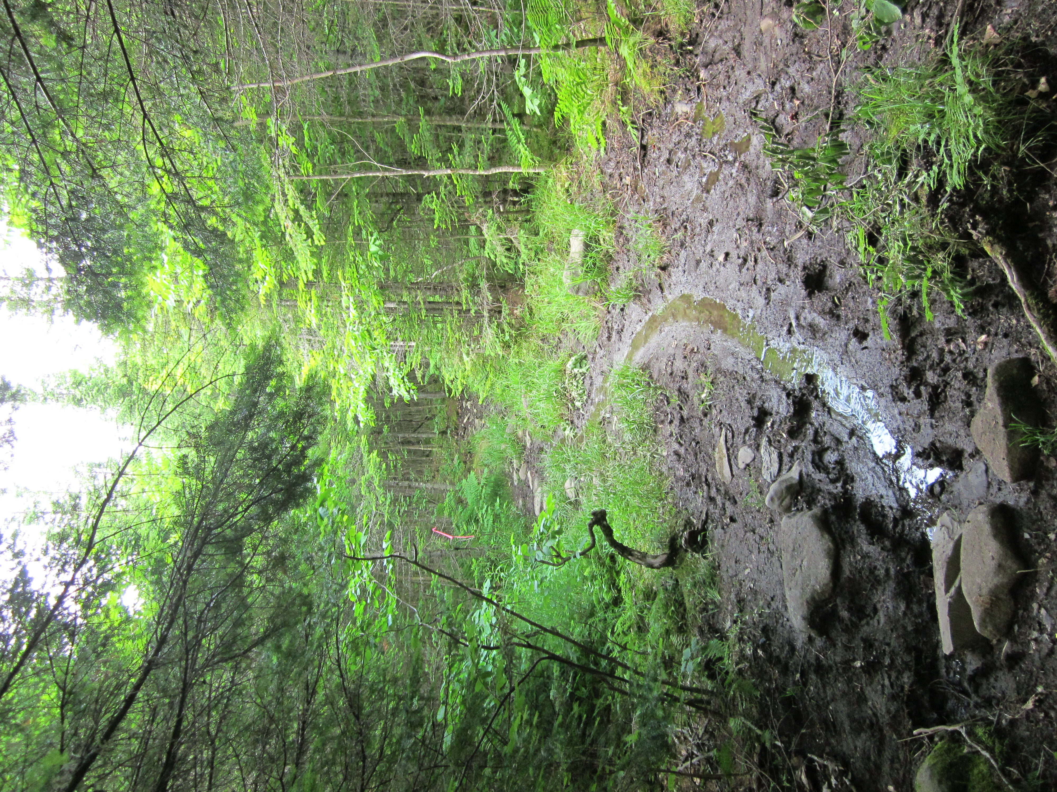
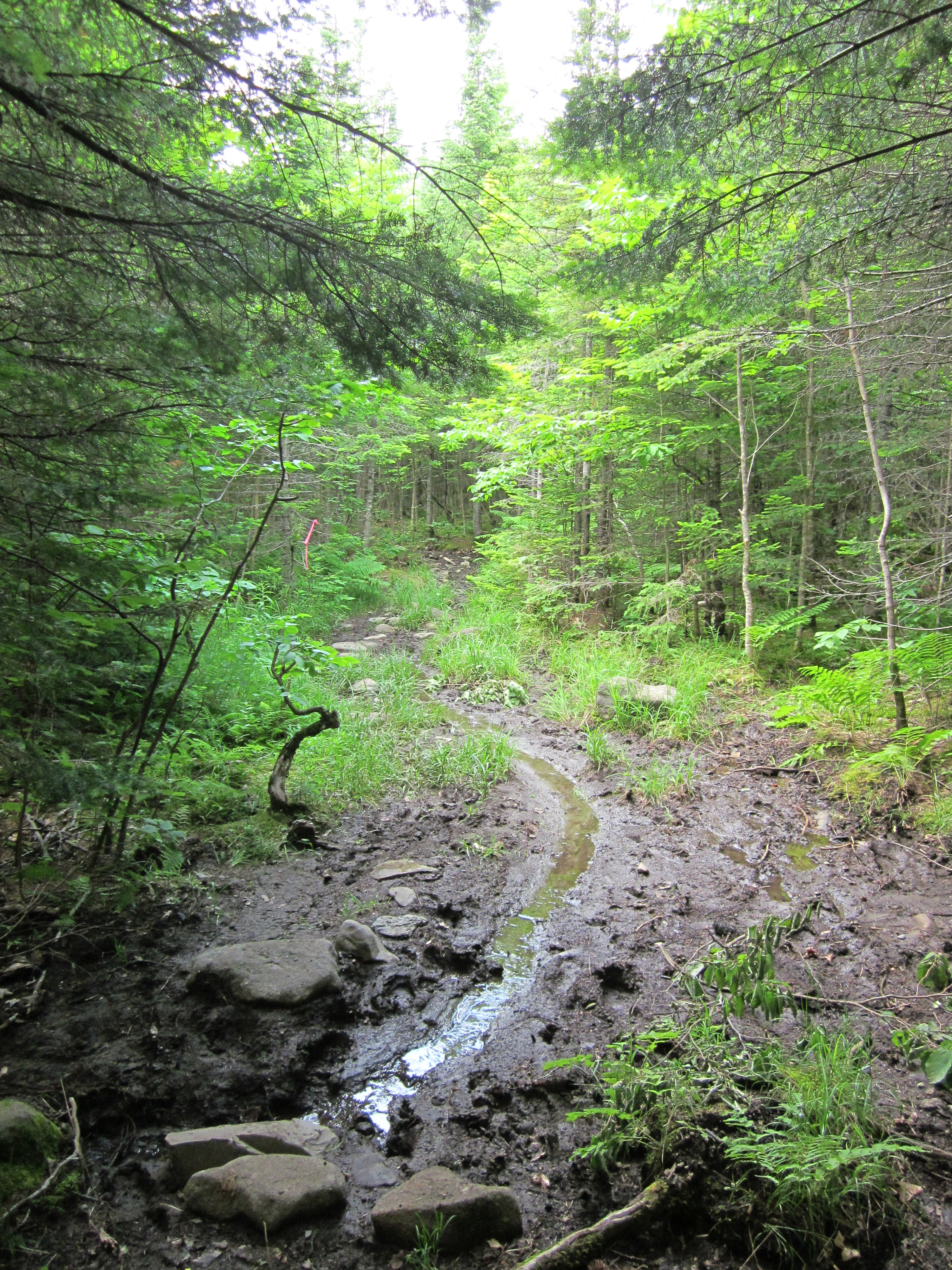
Muddy trail

IMG_1964.JPG Original
1/40s f3.5 ISO400
Full size rotated image
Rotation angle: 90
Monday, July 2, 2012 9:53:28AM EDT
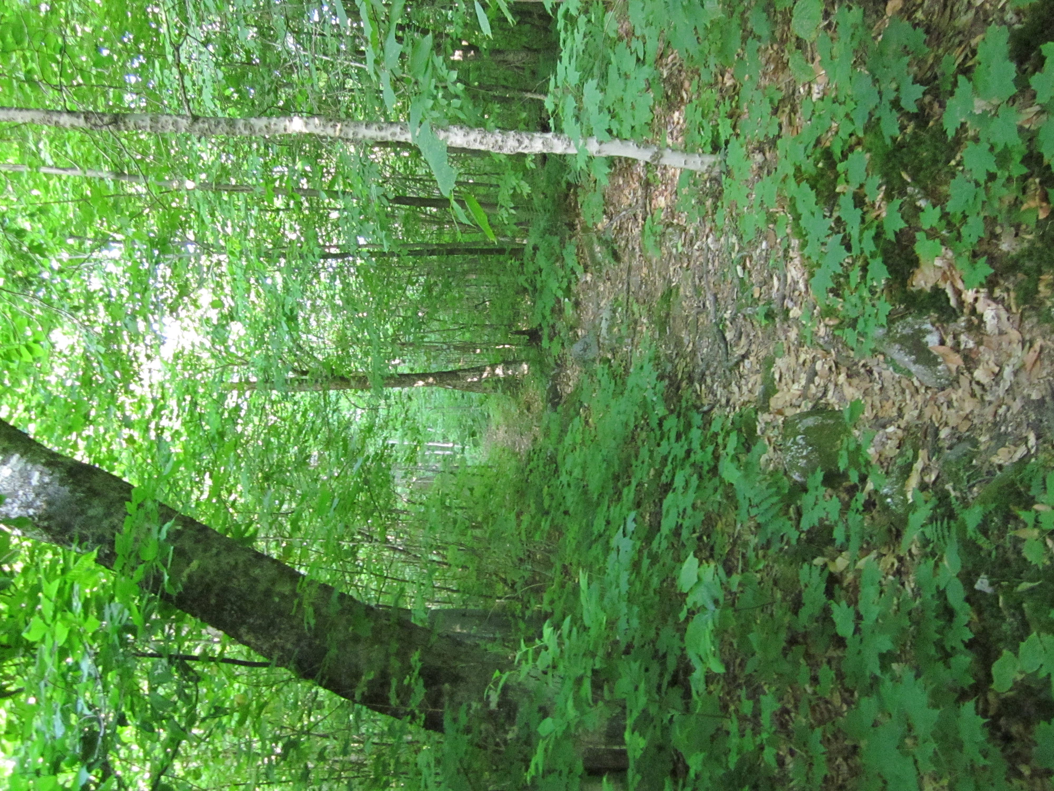
Tags: T
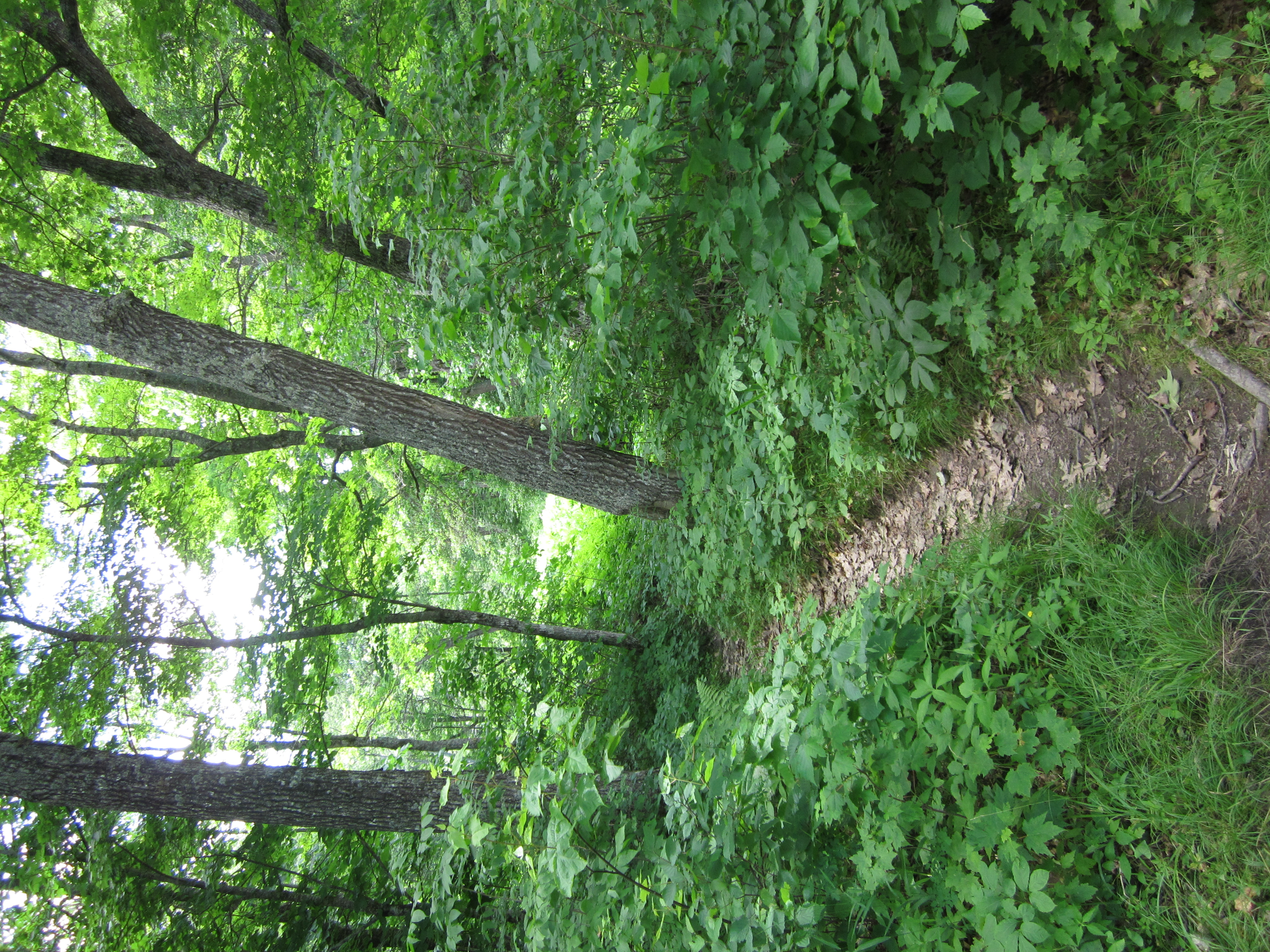
Appalachian Trail.

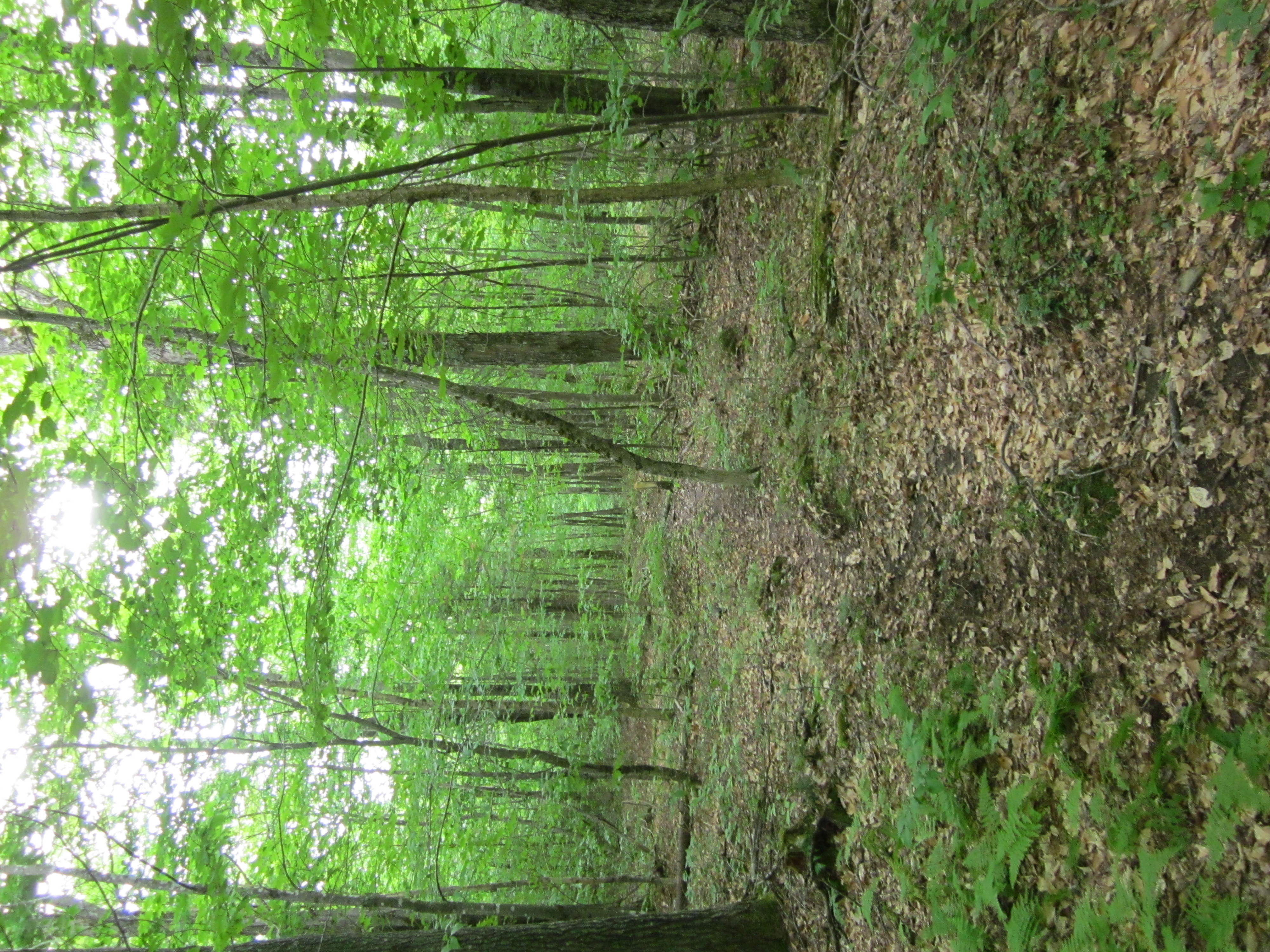
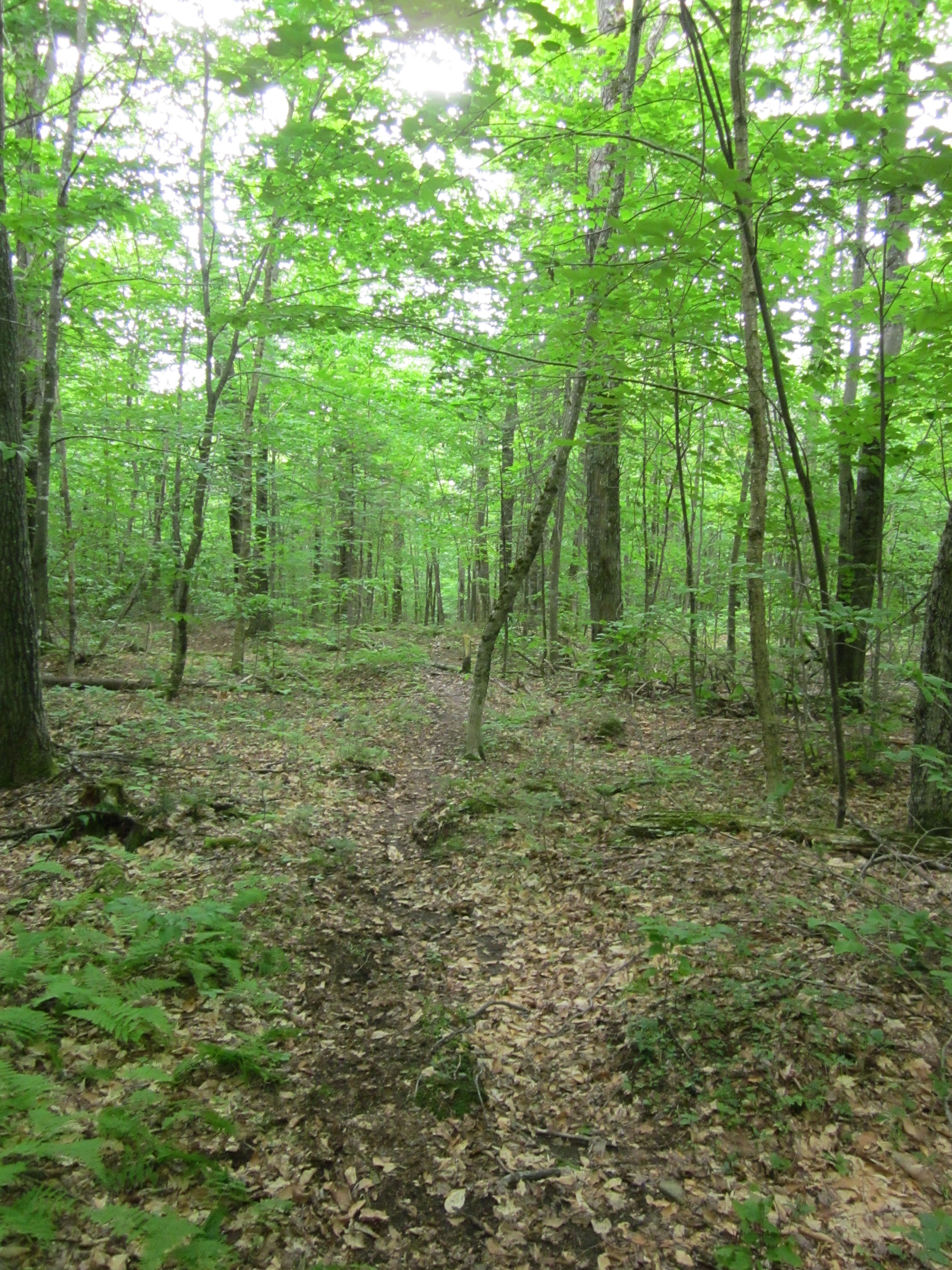
IMG_1963.JPG Original
1/30s f2.8 ISO400
Full size rotated image
Rotation angle: 90
Monday, July 2, 2012 9:48:11AM EDT
Tags: T
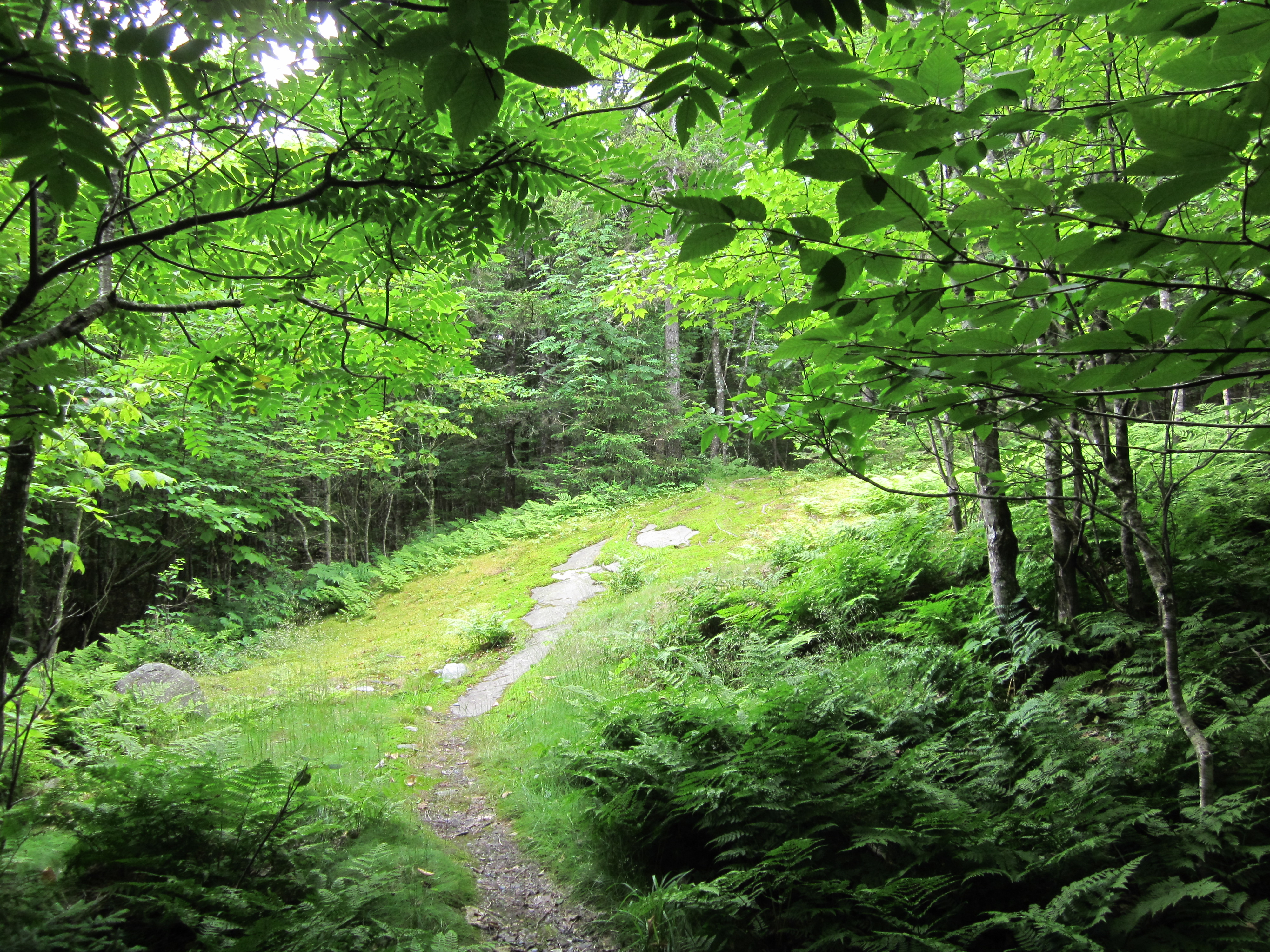
Appalachian Trail.
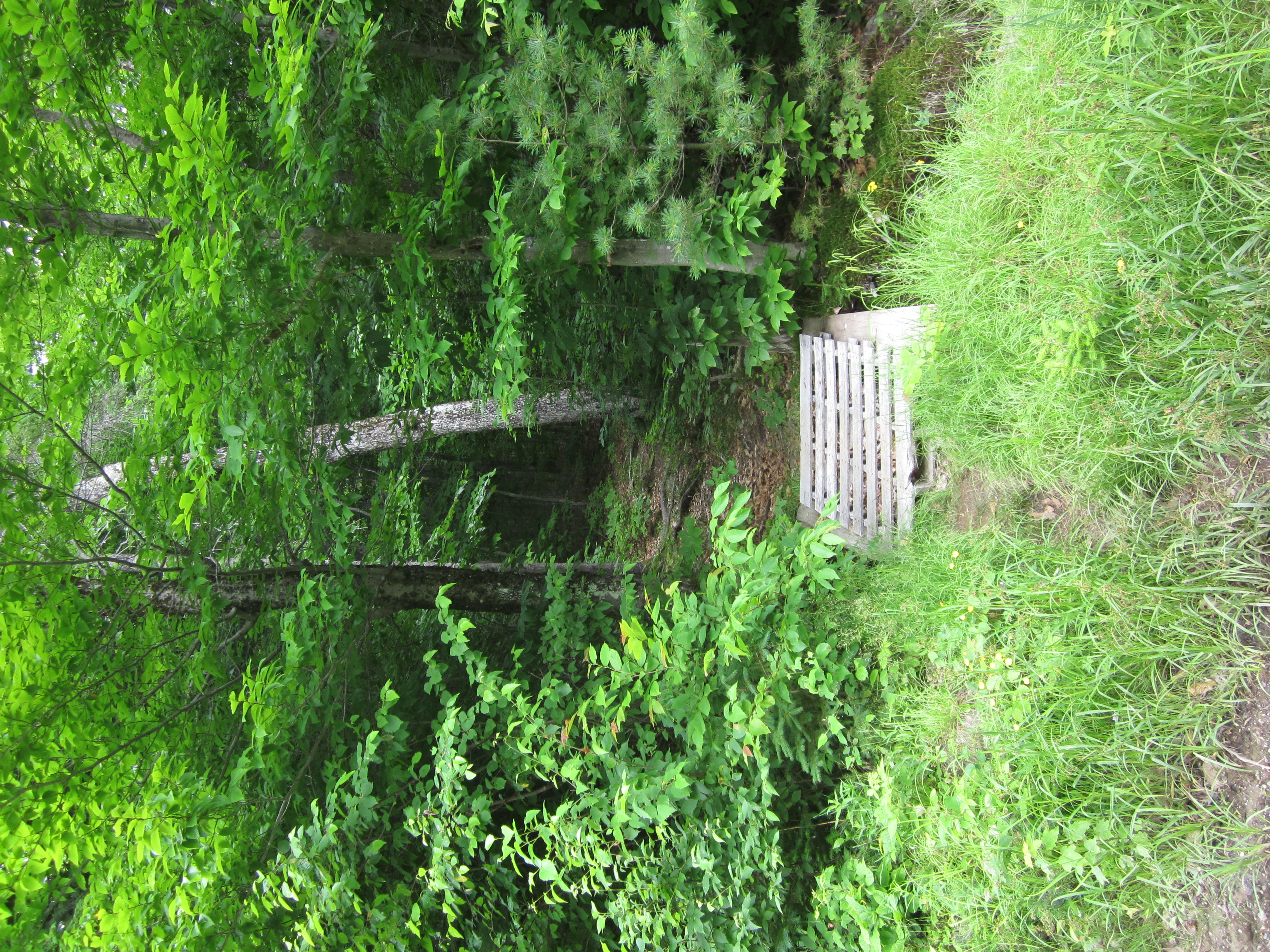
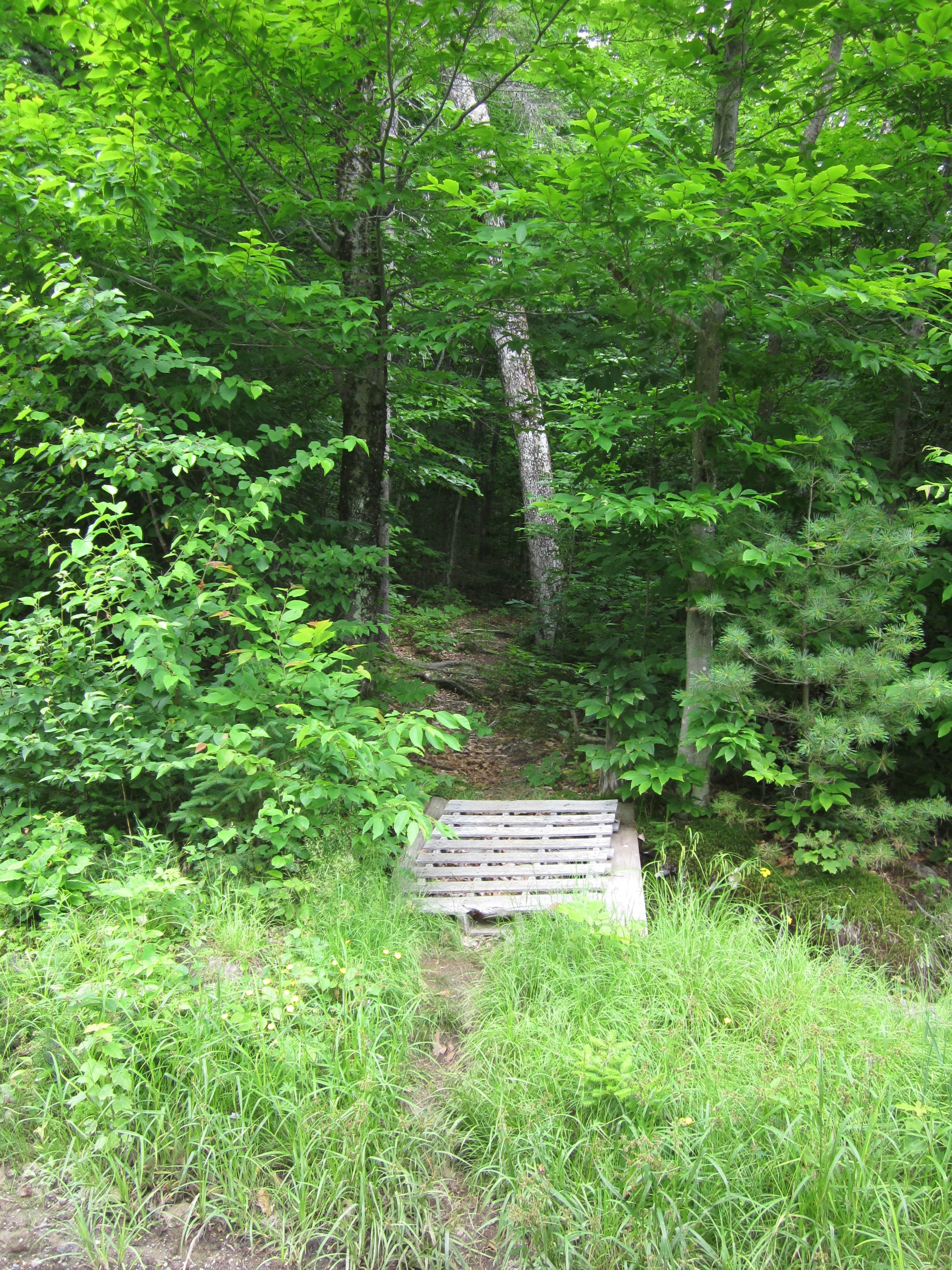
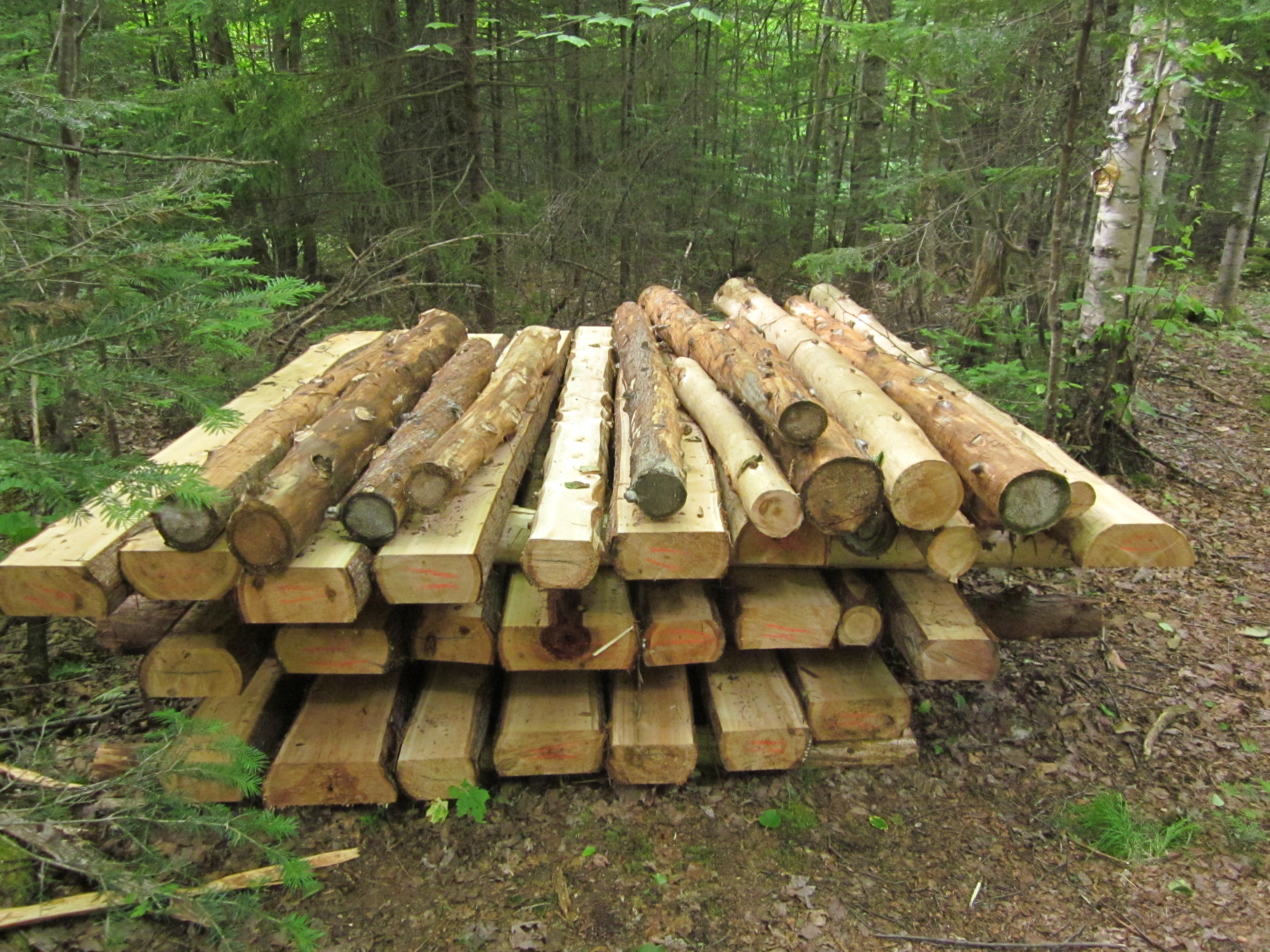
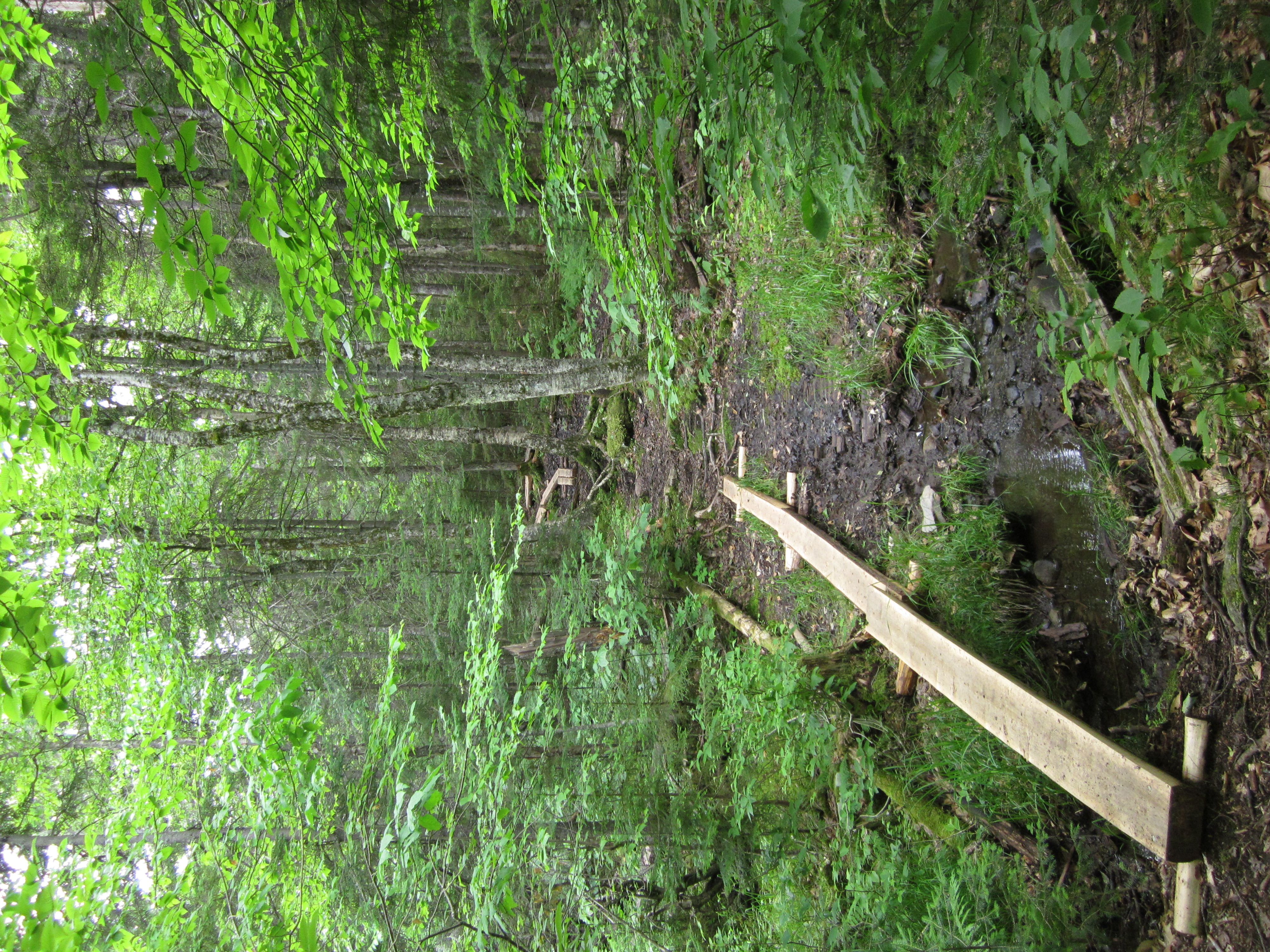
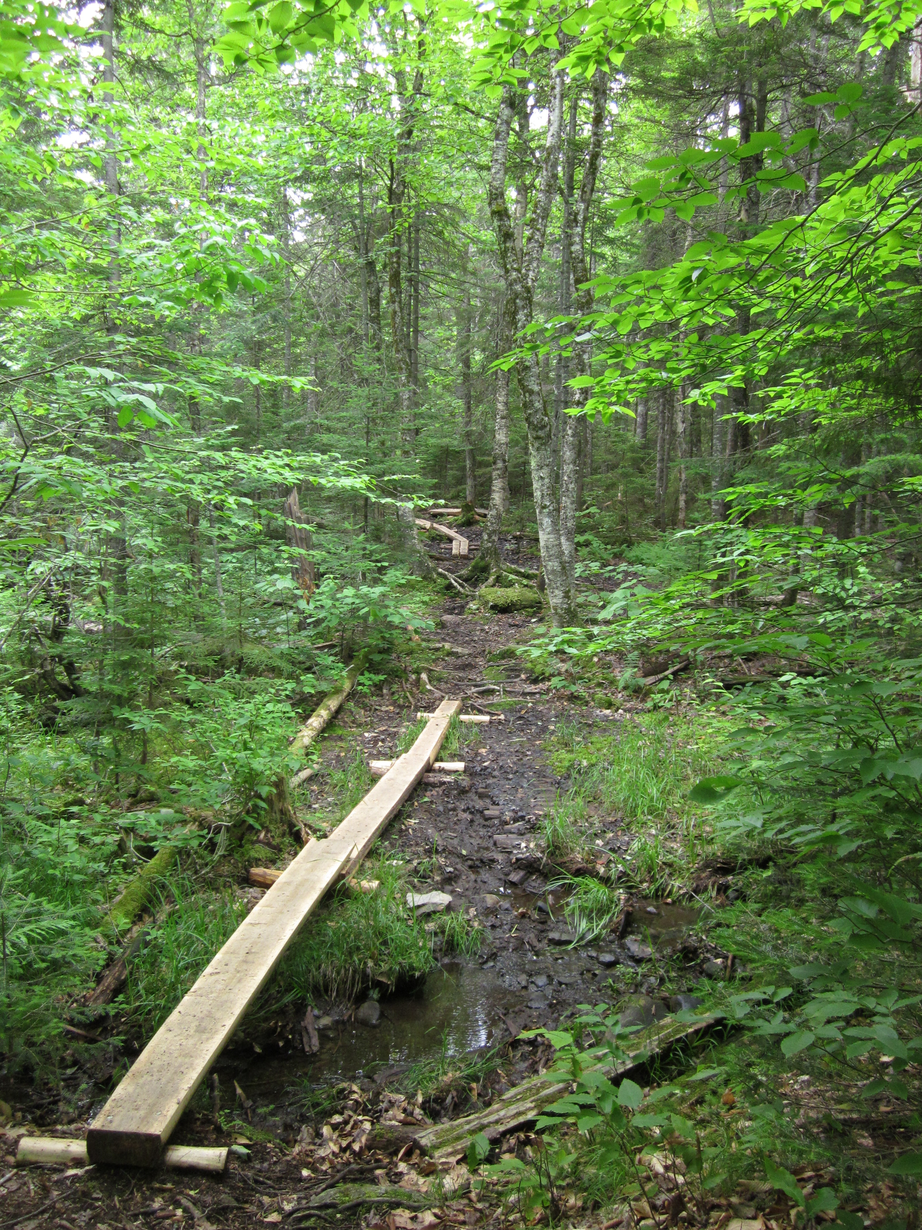
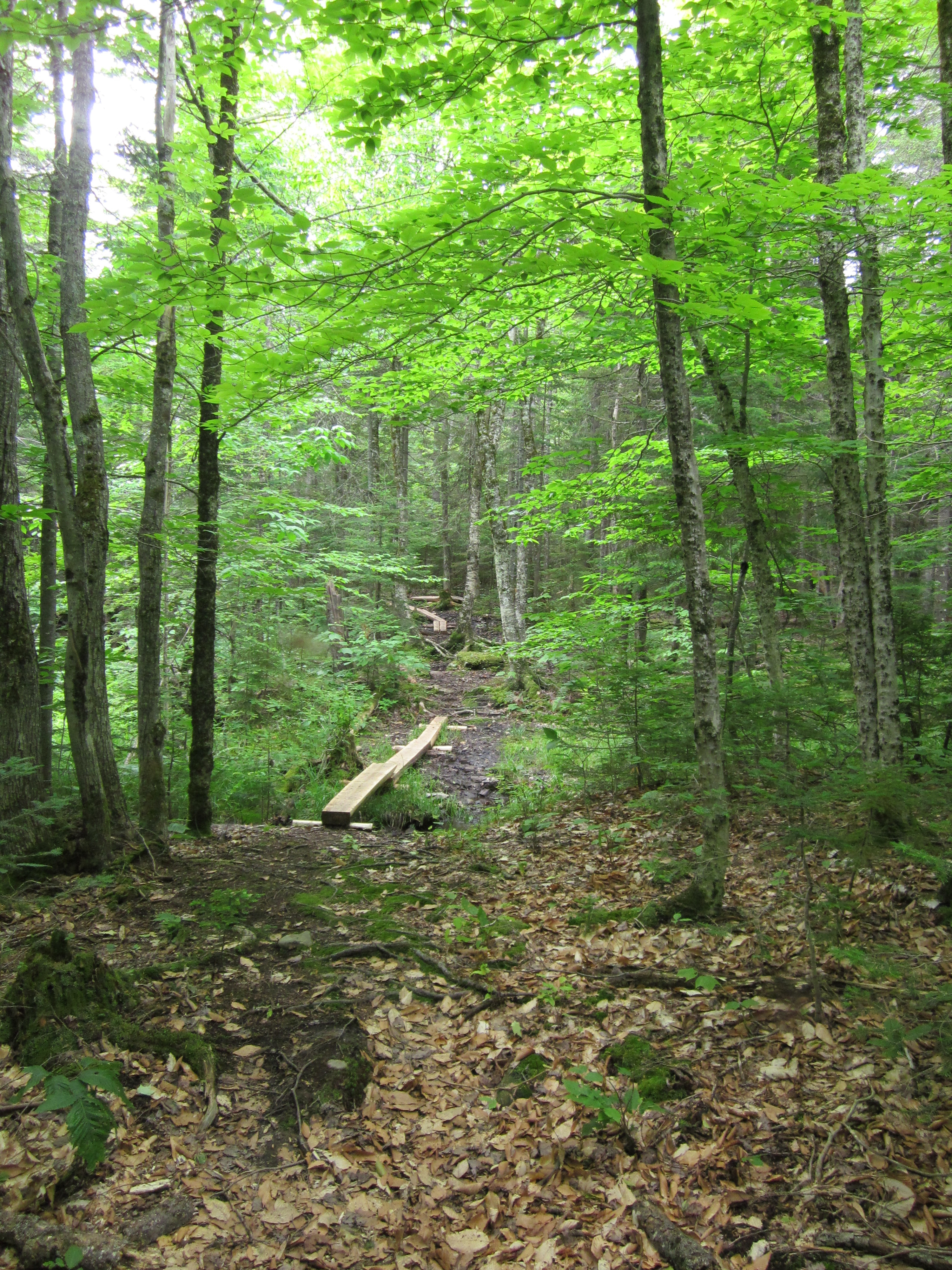
Boards for bog bridges.

IMG_1962.JPG Original
1/40s f2.8 ISO400
Monday, July 2, 2012 9:48:00AM EDT
Tags: V
View from Appalachian Trail

IMG_1961.JPG Original
1/60s f2.8 ISO125
Monday, July 2, 2012 9:47:40AM EDT
Tags: O
Dirt, gravel, or logging road crossing the Appalachian Trail.

IMG_1960.JPG Original
1/60s f2.8 ISO160
Full size rotated image
Rotation angle: 90
Monday, July 2, 2012 9:47:11AM EDT
Tags: RO
Dirt, gravel, or logging road crossing the Appalachian Trail.
River, brook, or creek.

IMG_1959.JPG Original
1/50s f2.8 ISO400
Full size rotated image
Rotation angle: 90
Monday, July 2, 2012 9:46:19AM EDT
Tags: T
Appalachian Trail.

IMG_1958.JPG Original
1/30s f2.8 ISO400
Full size rotated image
Rotation angle: 90
Monday, July 2, 2012 9:46:10AM EDT
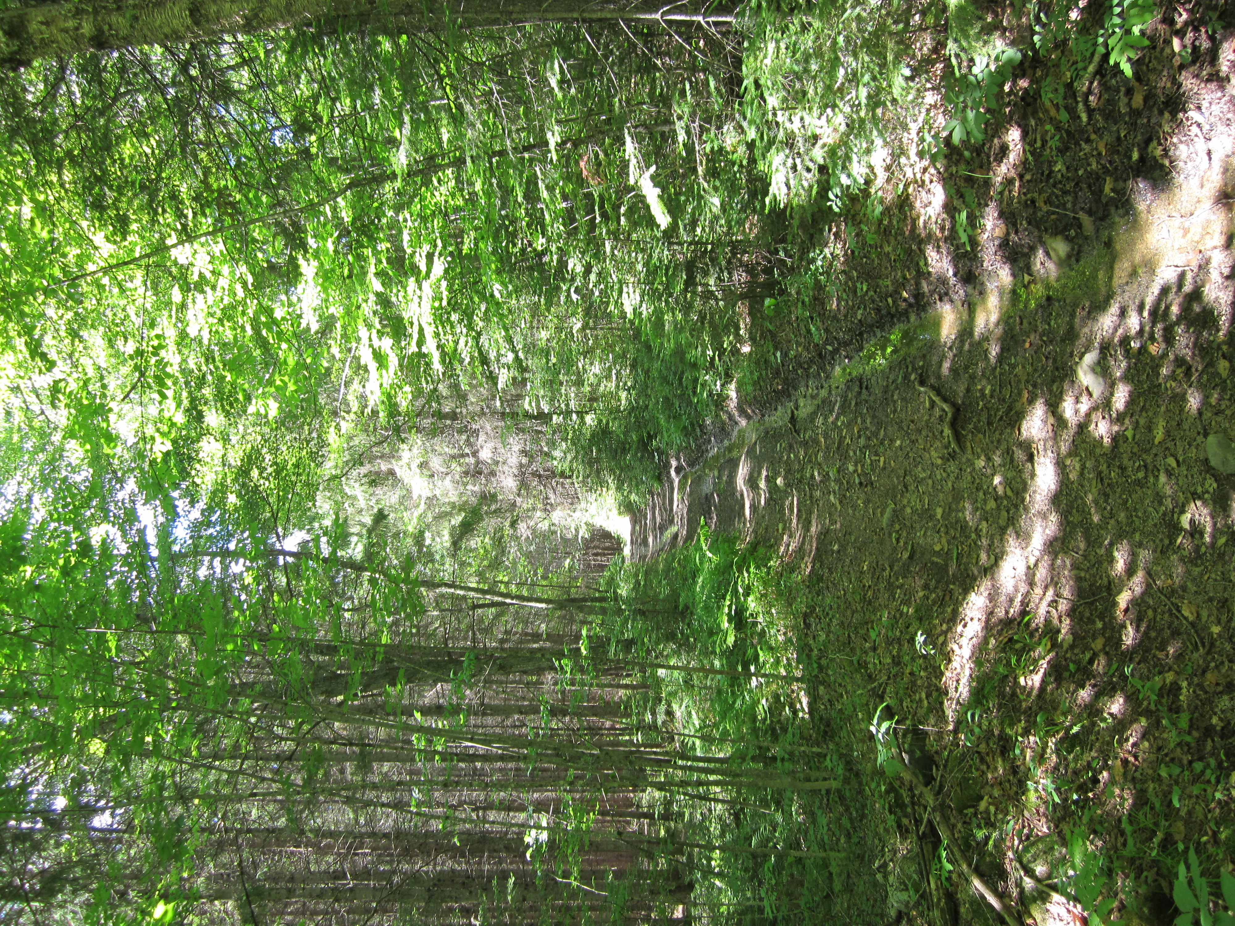
Tags: T
Appalachian Trail.

IMG_1957.JPG Original
1/60s f2.8 ISO250
Full size rotated image
Rotation angle: 90
Monday, July 2, 2012 9:38:57AM EDT
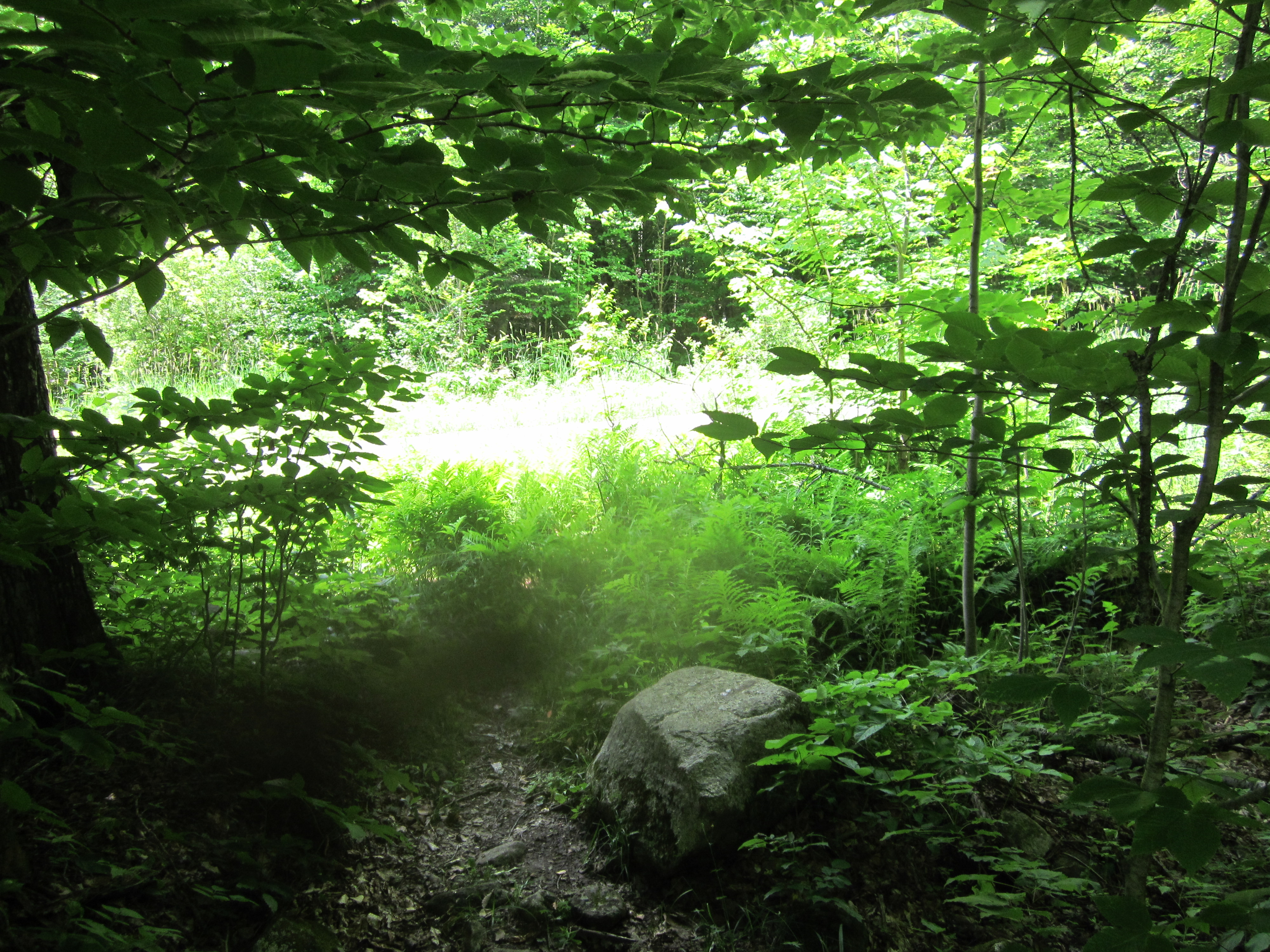
Tags: TG
Bog crossing on Appalachian Trail.
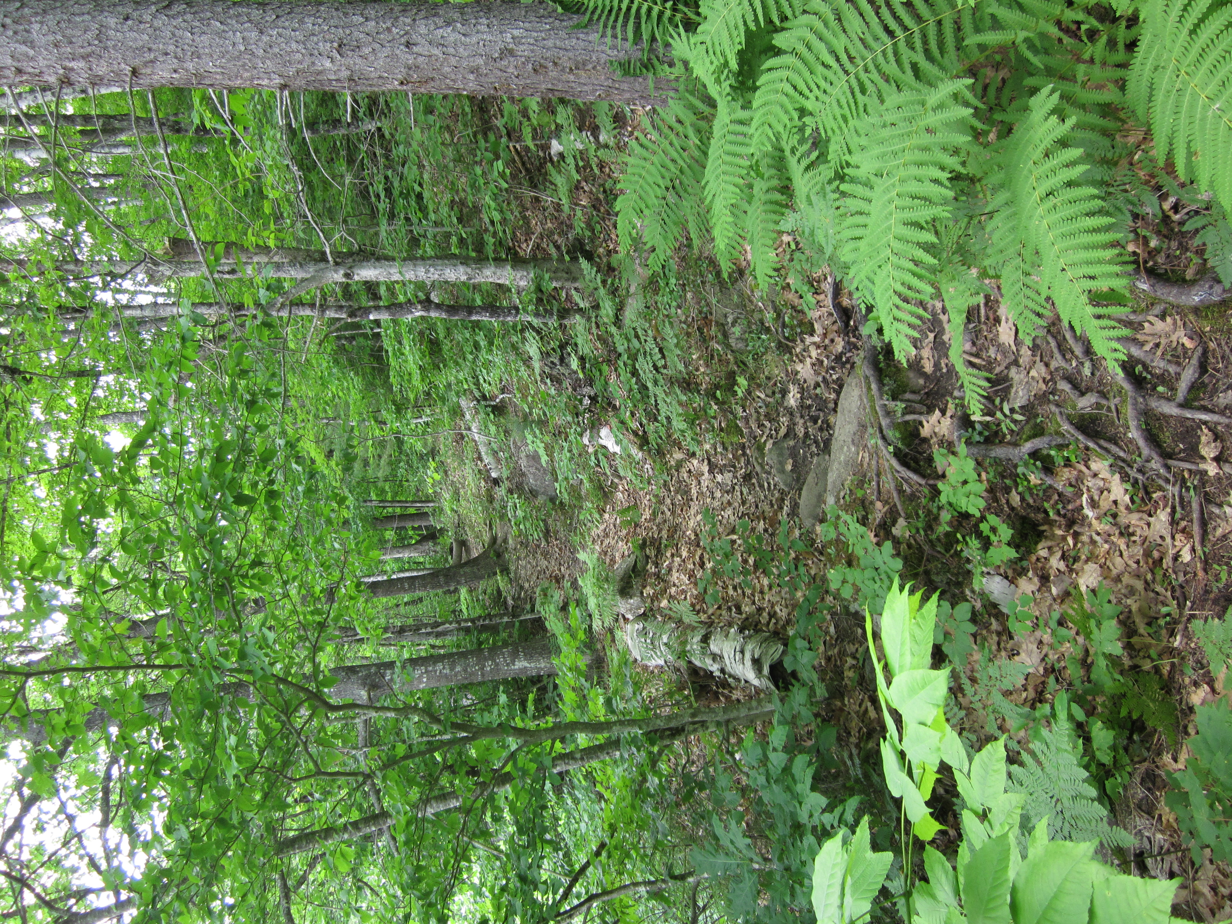
Appalachian Trail.

IMG_1956.JPG Original
1/60s f2.8 ISO250
Full size rotated image
Rotation angle: 90
Monday, July 2, 2012 9:38:44AM EDT
Tags: TG
Bog crossing on Appalachian Trail.
Appalachian Trail.
Muddy trail

IMG_1955.JPG Original
1/60s f2.8 ISO200
Full size rotated image
Rotation angle: 90
Monday, July 2, 2012 9:35:38AM EDT
Tags: T
Appalachian Trail.
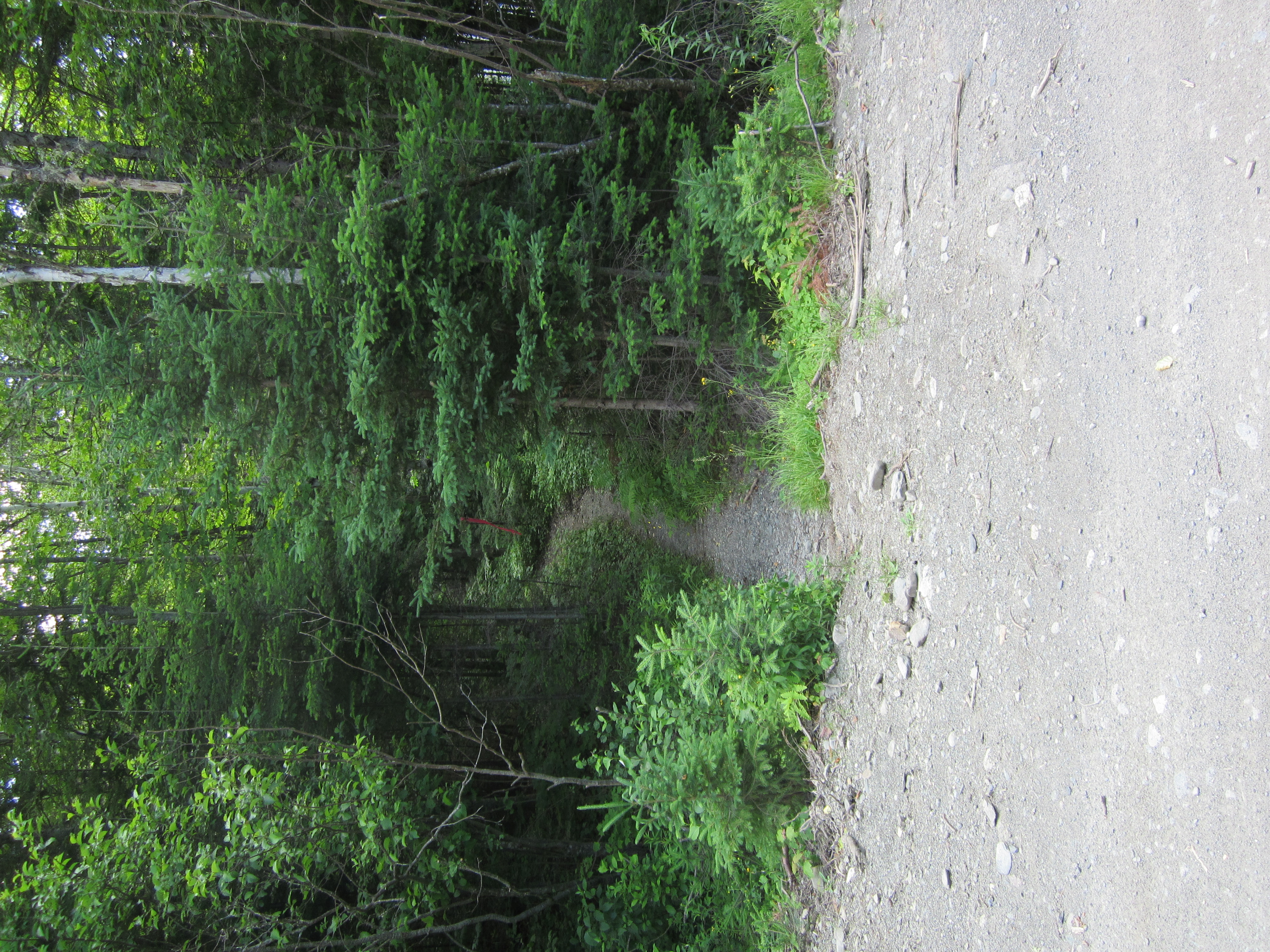
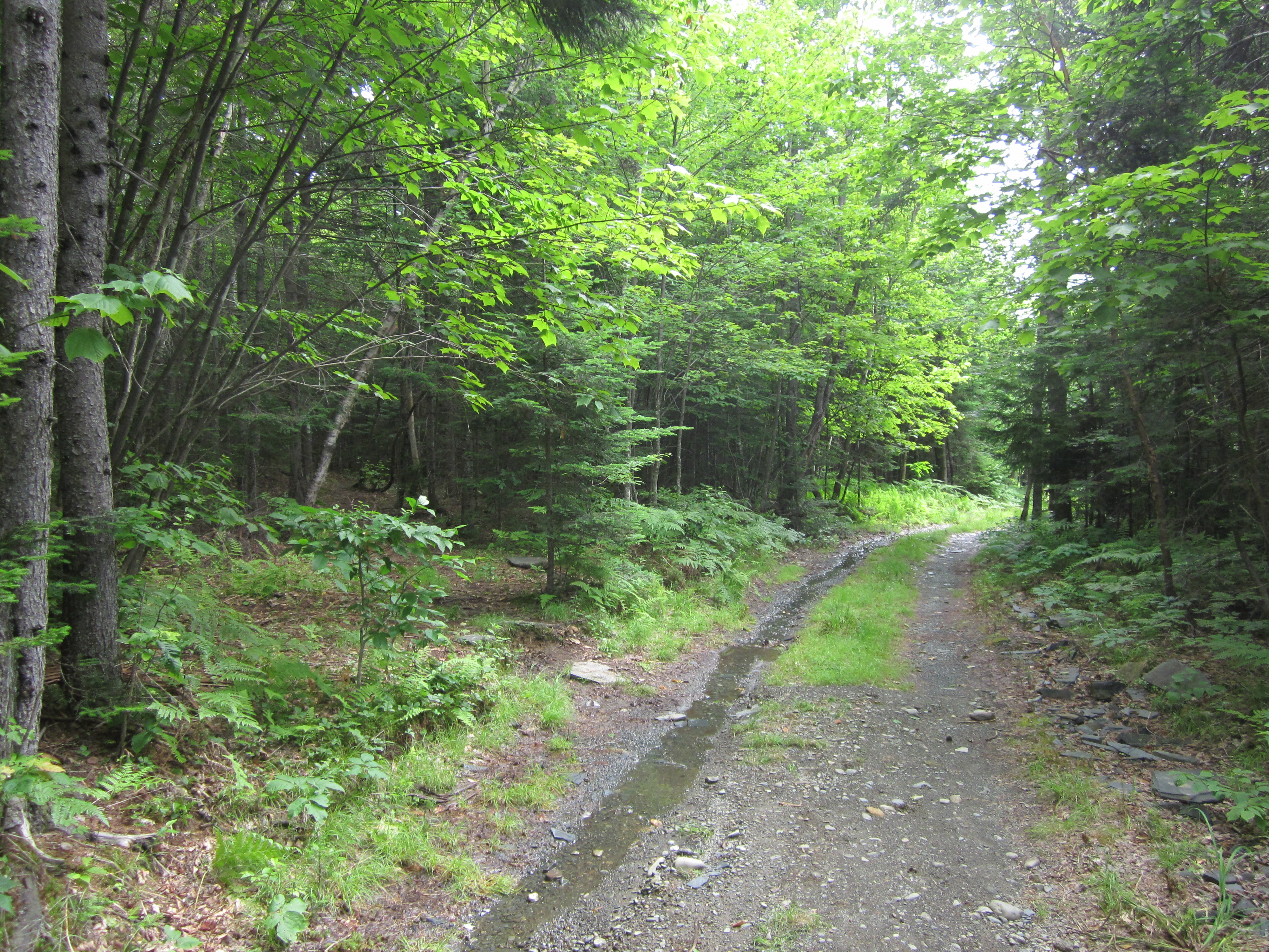
Snowmobile Path

IMG_1954.JPG Original
1/60s f2.8 ISO320
Monday, July 2, 2012 9:34:51AM EDT
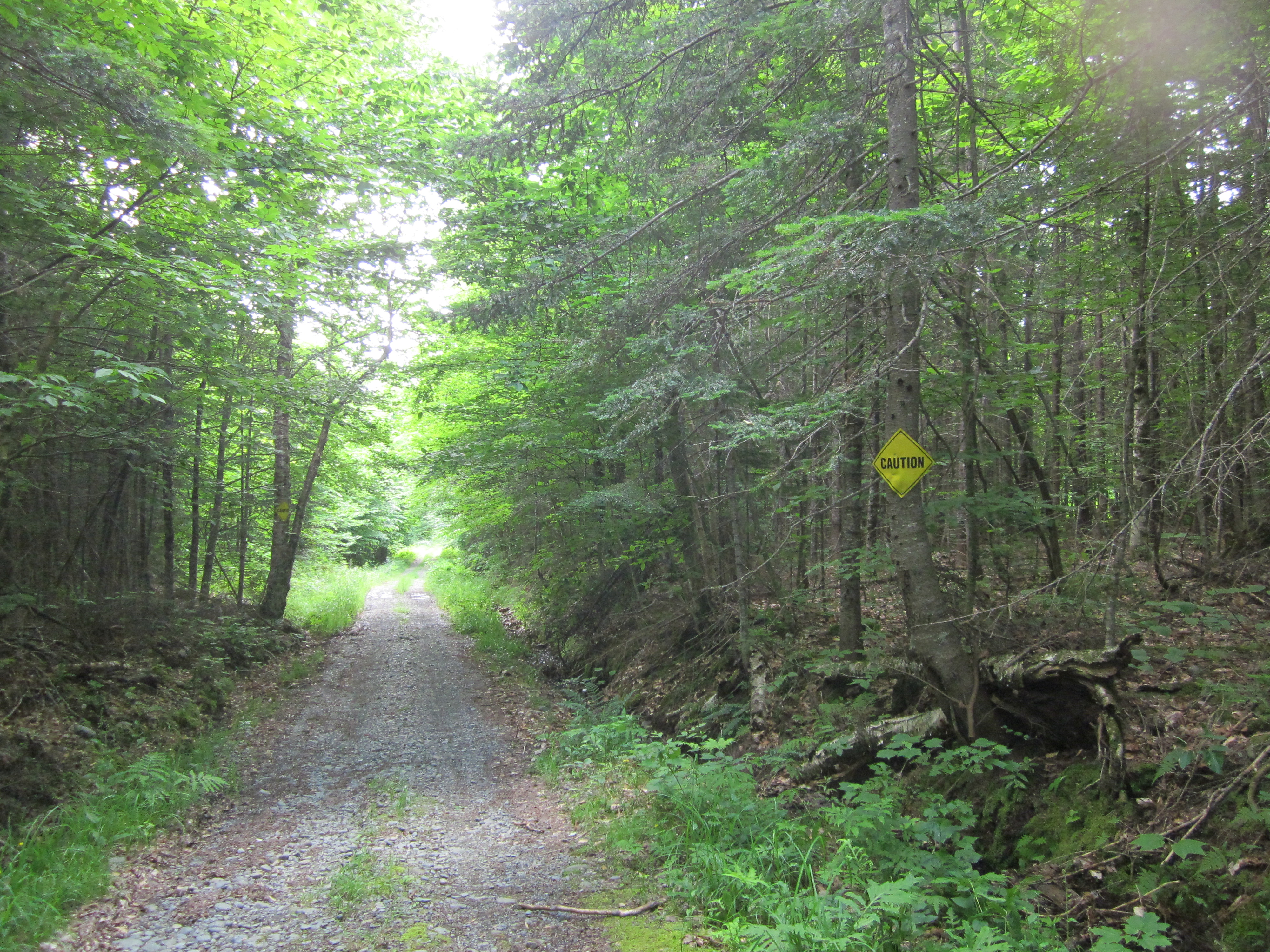
Tags: O
Dirt, gravel, or logging road crossing the Appalachian Trail.
Snowmobile Path

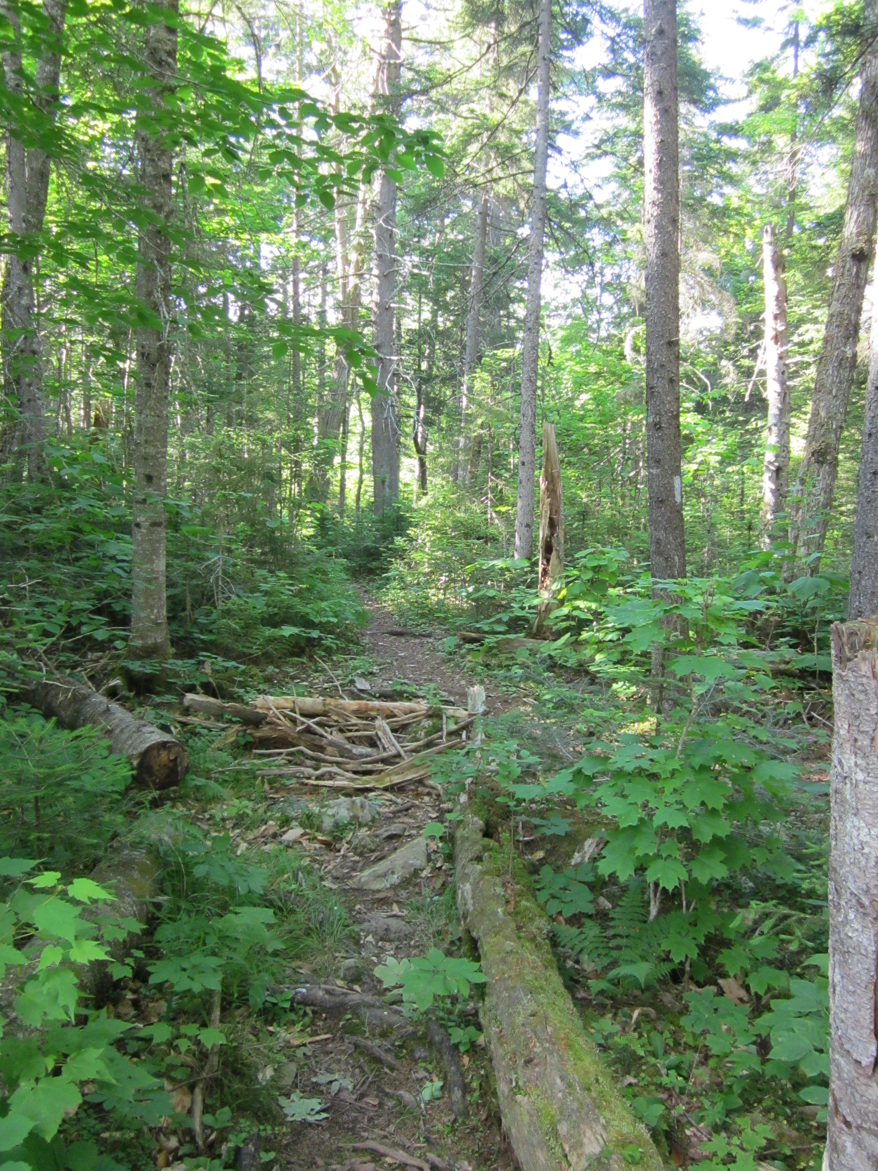
IMG_1953.JPG Original
1/60s f2.8 ISO200
Full size rotated image
Rotation angle: 90
Monday, July 2, 2012 9:34:43AM EDT
Tags: O
Dirt, gravel, or logging road crossing the Appalachian Trail.

IMG_1952.JPG Original
1/50s f2.8 ISO400
Monday, July 2, 2012 9:34:38AM EDT
Tags: Z
Appalachian Trail with white blaze.
Sign south of ME15/ME6 on AT

IMG_1951.JPG Original
1/80s f3.5 ISO400
Monday, July 2, 2012 9:19:58AM EDT
Tags: S
Appalachian Trail sign.
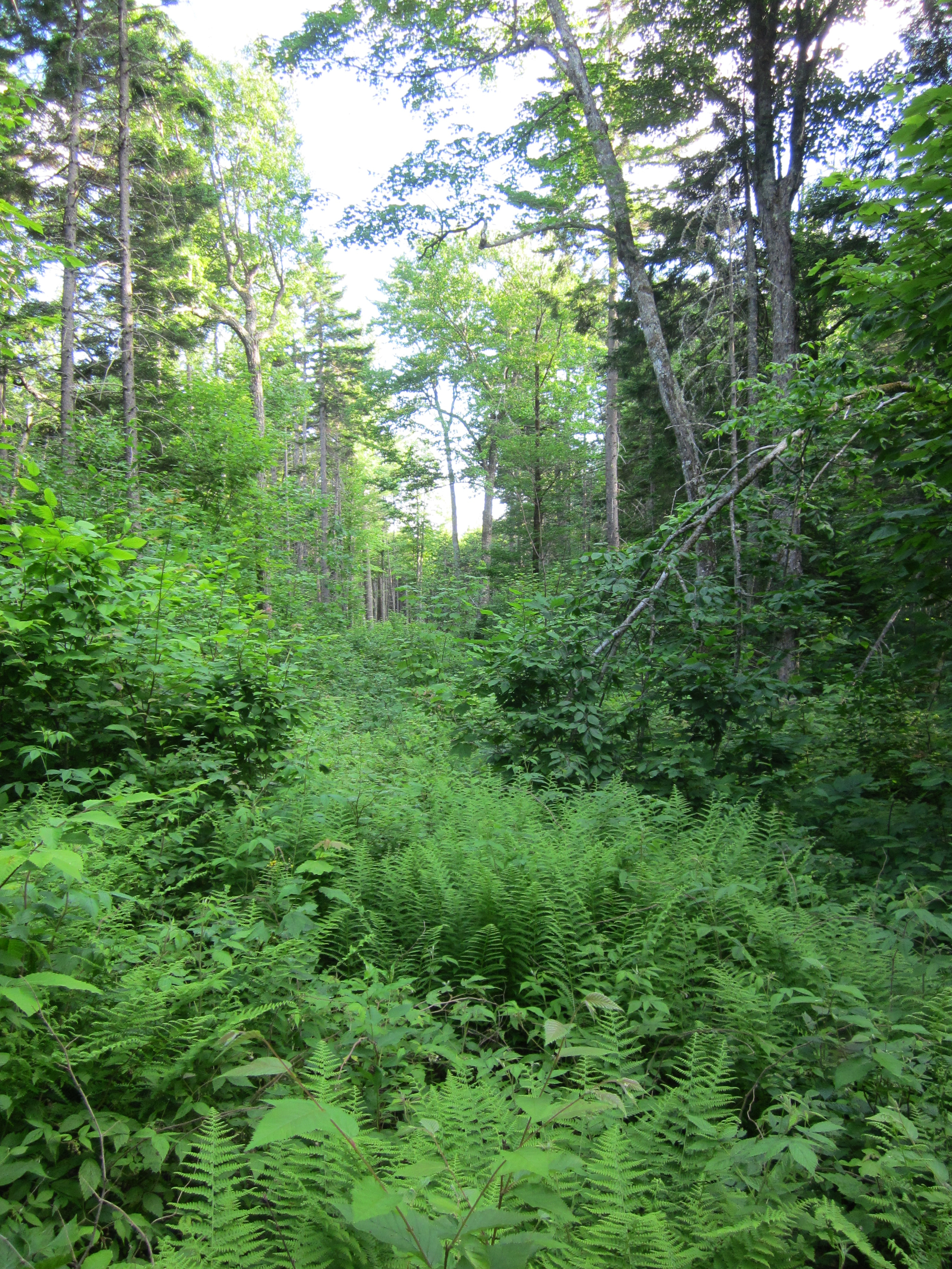
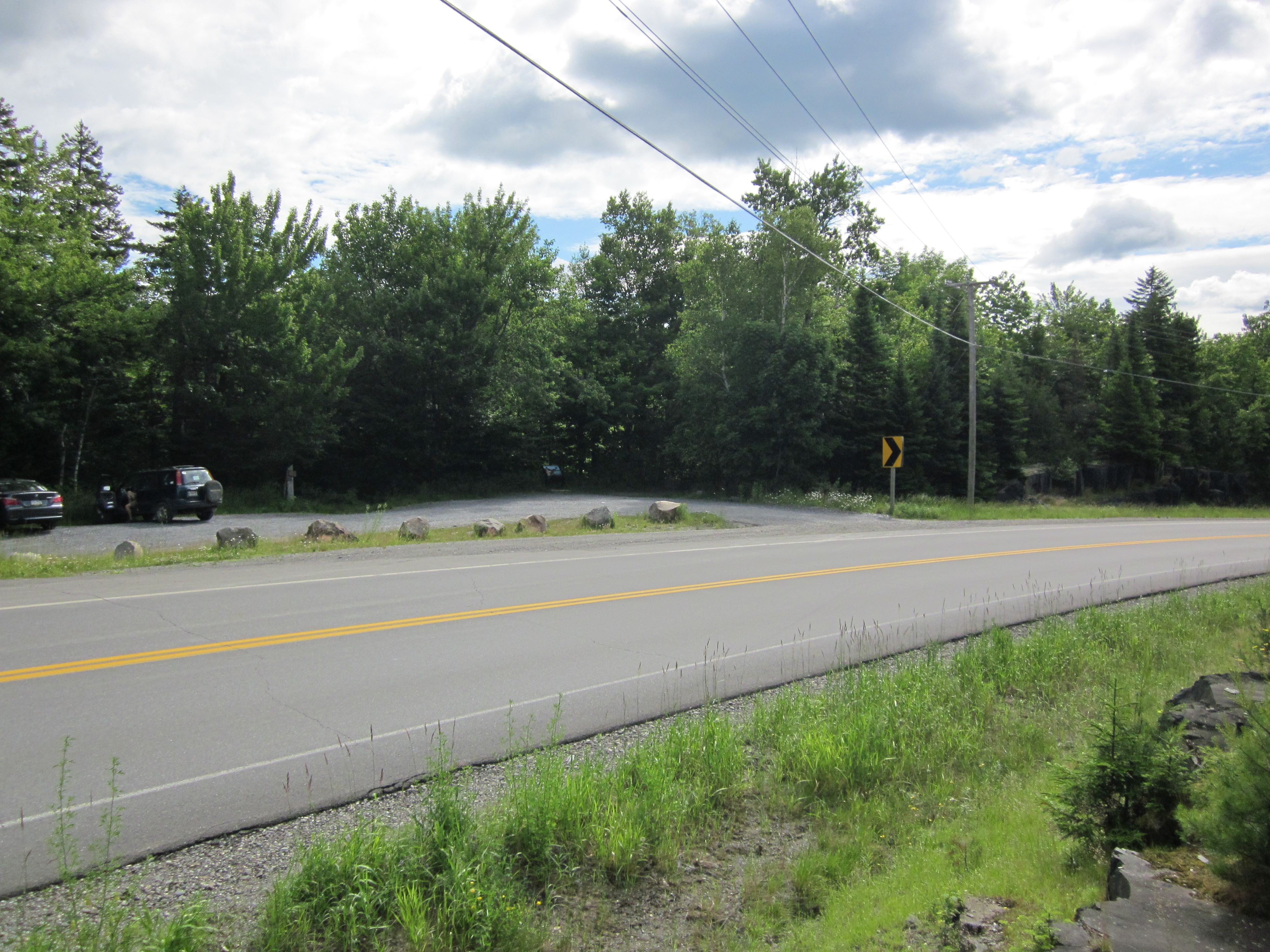
ME15 north of Monson, Maine

IMG_1950.JPG Original
1/1250s f2.8 ISO125
Monday, July 2, 2012 9:19:26AM EDT
Tags: HZ
Highway or paved road crossing the Appalachian Trail.
Appalachian Trail with white blaze.
ME15 north of Monson, Maine

IMG_1949.JPG Original
1/250s f8 ISO160
Monday, July 2, 2012 9:19:14AM EDT
Tags: H
Highway or paved road crossing the Appalachian Trail.
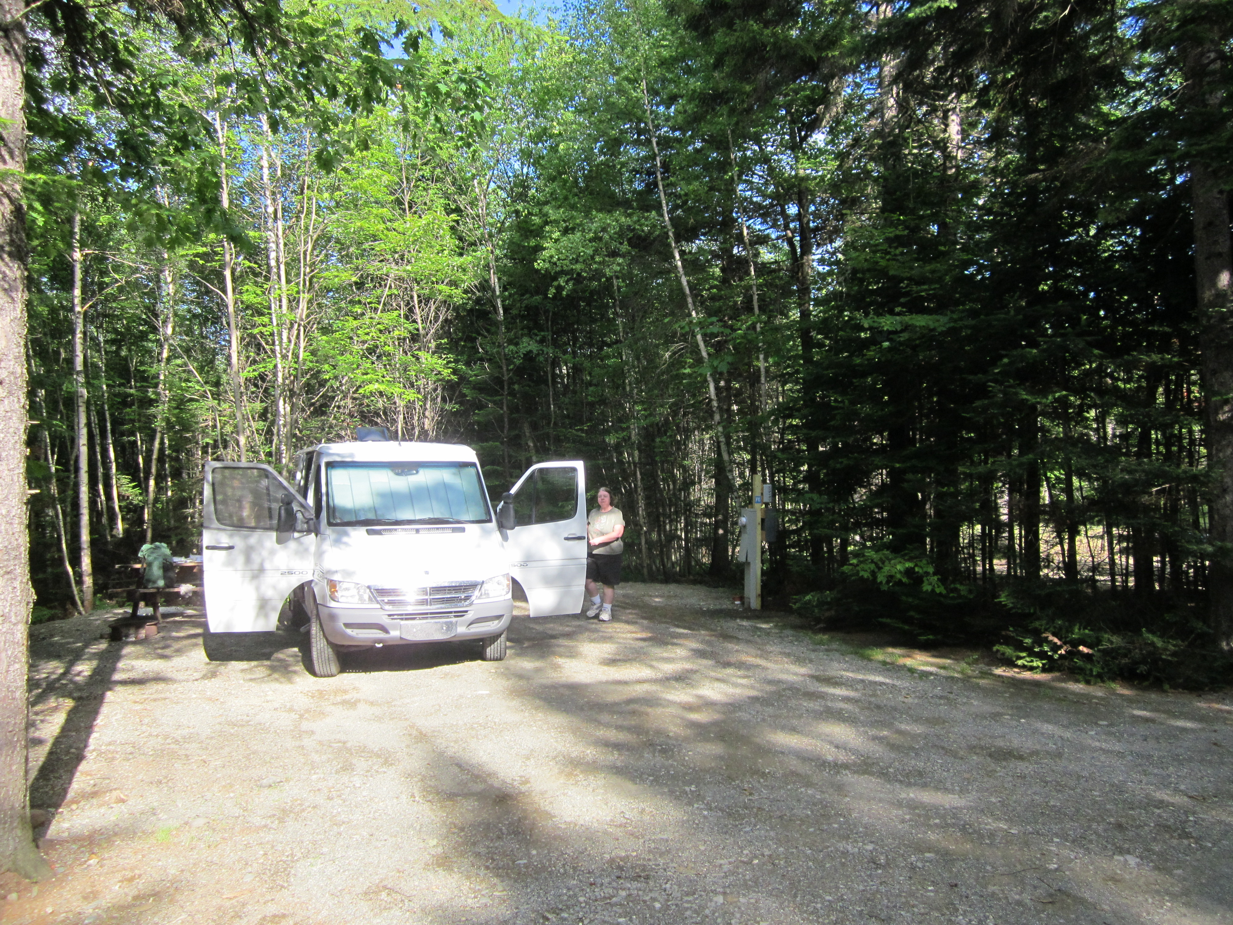
Our Sprinter van at the campsite

IMG_1948.JPG Original
1/500s f2.8 ISO160
Monday, July 2, 2012 7:59:14AM EDT
Tags: