Image: at2009-v.jpg not found.
Appalachian Trail, Vermont Map 5, Monday, August 31.

Appalachian Trail, Vermont Map 5, Monday, August 31.
Unless otherwise indicated all pictures are licensed under the Creative
Commons Attribution 3.0 Unported License.

This work is licensed
under a Creative
Commons Attribution 3.0 Unported License.
All usage needs to include the following attribution: "Picture taken by Louis Taber".
All pictures with people are ©2009 by Louis Taber with all rights reserved.
Home Appalachian Trail - 2009 index
From US89 to Hartford New Hampshire, over the Connecticut River
US89 crossing Tigertown Road
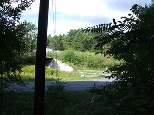
dscf2004.jpg Original
10/4500s f3.3 ISO100
Monday, August 31, 2009 9:25:30AM EDT
Tags:
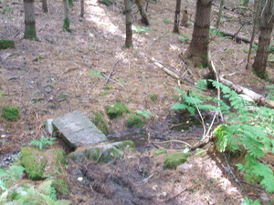
dscf2005.jpg Original
10/75s f3.3 ISO200
Monday, August 31, 2009 9:36:42AM EDT
Tags: TB
Bridge on the Appalachian Trail.
Appalachian Trail.
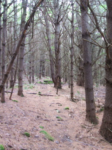
dscf2006.jpg Original
10/40s f3.3 ISO200
Full size rotated image
Rotation angle: 90
Monday, August 31, 2009 9:37:42AM EDT
Tags: T
Appalachian Trail.
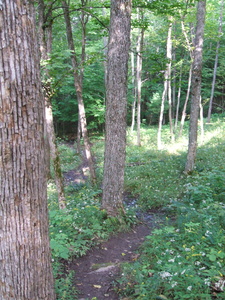
dscf2007.jpg Original
10/380s f3.3 ISO200
Full size rotated image
Rotation angle: 90
Monday, August 31, 2009 9:42:12AM EDT
Tags: T
Appalachian Trail.
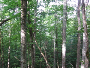
dscf2008.jpg Original
10/580s f3.3 ISO200
Monday, August 31, 2009 9:42:18AM EDT
Tags:
Stone Wall
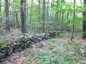
dscf2009.jpg Original
10/100s f3.3 ISO200
Monday, August 31, 2009 9:44:32AM EDT
Tags:
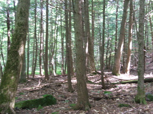
dscf2010.jpg Original
10/60s f3.3 ISO200
Monday, August 31, 2009 10:10:36AM EDT
Tags:
Fungus
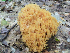
dscf2011.jpg Original
10/80s f3.3 ISO200
Monday, August 31, 2009 10:11:22AM EDT
Tags:
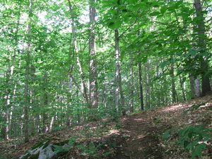
dscf2012.jpg Original
10/180s f3.3 ISO200
Monday, August 31, 2009 10:15:25AM EDT
Tags: T
Appalachian Trail.
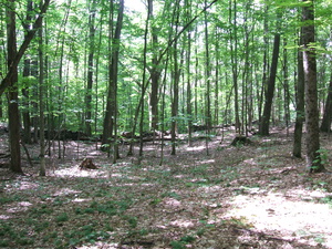
dscf2013.jpg Original
10/280s f3.3 ISO200
Monday, August 31, 2009 10:25:36AM EDT
Tags: T
Appalachian Trail.
Podunk Road 1.8 miles south, Happy Hill Shelter 1.0 miles north.
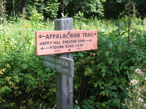
dscf2014.jpg Original
10/2200s f3.3 ISO100
Monday, August 31, 2009 10:32:32AM EDT
Tags: S
Appalachian Trail sign.
Podunk Road 2.6 miles south, 7.3 miles Velvet Rocks Shelter
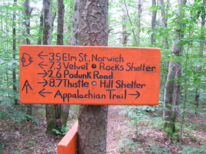
dscf2015.jpg Original
10/90s f3.3 ISO200
Monday, August 31, 2009 10:56:11AM EDT
Tags: S
Appalachian Trail sign.
Happy Hill Shelter 0.1 miles
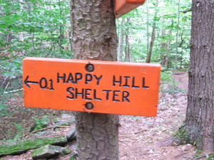
dscf2016.jpg Original
10/85s f3.3 ISO200
Monday, August 31, 2009 10:56:23AM EDT
Tags: S
Appalachian Trail sign.
dscf2017.jpg Original
10/170s f3.3 ISO200
Full size rotated image
Rotation angle: 90
Monday, August 31, 2009 11:04:14AM EDT
Tags: T
Appalachian Trail.
dscf2018.jpg Original
10/400s f3.3 ISO200
Monday, August 31, 2009 11:25:55AM EDT
Tags: T
Appalachian Trail.
Pond
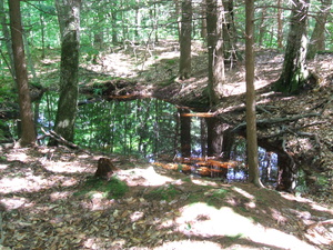
dscf2019.jpg Original
10/130s f3.3 ISO200
Monday, August 31, 2009 11:29:32AM EDT
Tags:
Pond
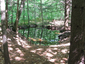
dscf2020.jpg Original
10/170s f3.3 ISO200
Monday, August 31, 2009 11:29:50AM EDT
Tags:
Powerline (43.706799, -72.329546)
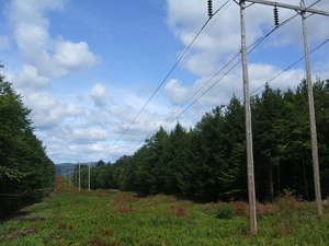
dscf2021.jpg Original
10/2400s f8.5 ISO100
Monday, August 31, 2009 12:01:01PM EDT
Tags:
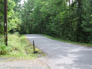
dscf2022.jpg Original
10/1400s f3.3 ISO100
Monday, August 31, 2009 12:33:33PM EDT
Tags: Z
Appalachian Trail with white blaze.
Fruit
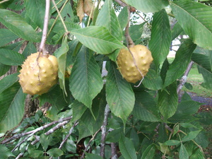
dscf2023.jpg Original
10/1000s f3.3 ISO100
Monday, August 31, 2009 12:48:15PM EDT
Tags:
Bridge over the Connecticut River, 10A

dscf2024.jpg Original
10/2200s f8.5 ISO100
Monday, August 31, 2009 1:09:31PM EDT
Tags: B
Bridge on the Appalachian Trail.
Bridge over the Connecticut River, 10A

dscf2025.jpg Original
10/2100s f8.5 ISO100
Monday, August 31, 2009 1:09:51PM EDT
Tags: B
Bridge on the Appalachian Trail.
Connecticut River
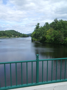
dscf2026.jpg Original
10/1700s f8.5 ISO100
Full size rotated image
Rotation angle: 90
Monday, August 31, 2009 1:10:31PM EDT
Tags:
Vermont - New Hampshire line
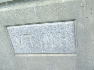
dscf2027.jpg Original
10/4500s f3.3 ISO100
Monday, August 31, 2009 1:10:46PM EDT
Tags:
Memorial Field, Dartmouth Campus

dscf2028.jpg Original
10/1600s f8.5 ISO100
Monday, August 31, 2009 1:55:17PM EDT
Tags:
Bridge over the Connecticut River, 10A
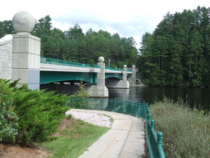
dscf2029.jpg Original
10/4800s f3.3 ISO100
Monday, August 31, 2009 2:15:23PM EDT
Tags: B
Bridge on the Appalachian Trail.


