
Appalachian Trail, Vermont Map 5, Monday, August 31.
Unless otherwise indicated all pictures are licensed under the Creative
Commons Attribution 3.0 Unported License.

This work is licensed
under a Creative
Commons Attribution 3.0 Unported License.
All usage needs to include the following attribution: "Picture taken by Louis Taber".
All pictures with people are ©2009 by Louis Taber with all rights reserved.
Home Appalachian Trail - 2009 index
From US89 to Hartford New Hampshire, over the Connecticut River
US89 crossing Tigertown Road
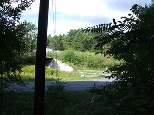
dscf2004.jpg Original
10/4500s f3.3 ISO100
Monday, August 31, 2009 9:25:30AM EDT
Tags:
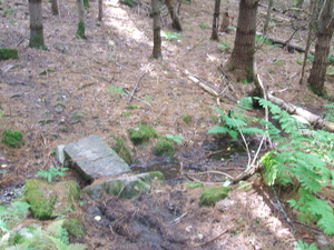
dscf2005.jpg Original
10/75s f3.3 ISO200
Monday, August 31, 2009 9:36:42AM EDT
Tags: TB
Bridge on the Appalachian Trail.
Appalachian Trail.
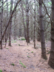
dscf2006.jpg Original
10/40s f3.3 ISO200
Full size rotated image
Rotation angle: 90
Monday, August 31, 2009 9:37:42AM EDT
Tags: T
Appalachian Trail.
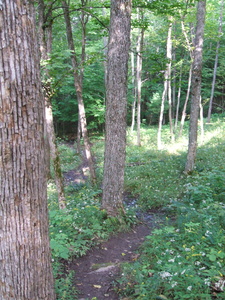
dscf2007.jpg Original
10/380s f3.3 ISO200
Full size rotated image
Rotation angle: 90
Monday, August 31, 2009 9:42:12AM EDT
Tags: T
Appalachian Trail.
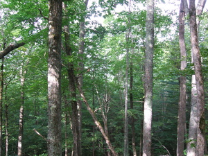
dscf2008.jpg Original
10/580s f3.3 ISO200
Monday, August 31, 2009 9:42:18AM EDT
Tags:
Stone Wall
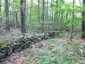
dscf2009.jpg Original
10/100s f3.3 ISO200
Monday, August 31, 2009 9:44:32AM EDT
Tags:
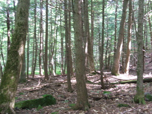
dscf2010.jpg Original
10/60s f3.3 ISO200
Monday, August 31, 2009 10:10:36AM EDT
Tags:
Fungus
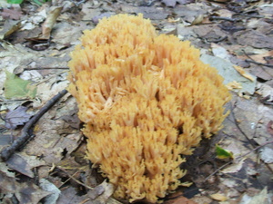
dscf2011.jpg Original
10/80s f3.3 ISO200
Monday, August 31, 2009 10:11:22AM EDT
Tags:
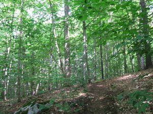
dscf2012.jpg Original
10/180s f3.3 ISO200
Monday, August 31, 2009 10:15:25AM EDT
Tags: T
Appalachian Trail.
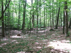
dscf2013.jpg Original
10/280s f3.3 ISO200
Monday, August 31, 2009 10:25:36AM EDT
Tags: T
Appalachian Trail.
Podunk Road 1.8 miles south, Happy Hill Shelter 1.0 miles north.
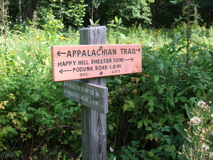
dscf2014.jpg Original
10/2200s f3.3 ISO100
Monday, August 31, 2009 10:32:32AM EDT
Tags: S
Appalachian Trail sign.
Podunk Road 2.6 miles south, 7.3 miles Velvet Rocks Shelter
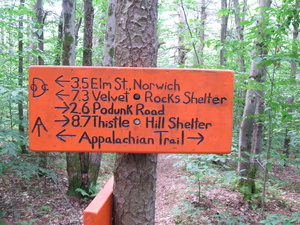
dscf2015.jpg Original
10/90s f3.3 ISO200
Monday, August 31, 2009 10:56:11AM EDT
Tags: S
Appalachian Trail sign.
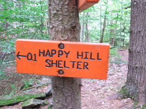
Happy Hill Shelter 0.1 miles
dscf2016.jpg Original
10/85s f3.3 ISO200
Monday, August 31, 2009 10:56:23AM EDT
Tags: S
Appalachian Trail sign.
dscf2017.jpg Original
10/170s f3.3 ISO200
Full size rotated image
Rotation angle: 90
Monday, August 31, 2009 11:04:14AM EDT
Tags: T
Appalachian Trail.
dscf2018.jpg Original
10/400s f3.3 ISO200
Monday, August 31, 2009 11:25:55AM EDT
Tags: T
Appalachian Trail.
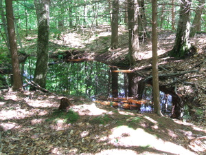
Pond
dscf2019.jpg Original
10/130s f3.3 ISO200
Monday, August 31, 2009 11:29:32AM EDT
Tags:
Pond
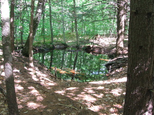
dscf2020.jpg Original
10/170s f3.3 ISO200
Monday, August 31, 2009 11:29:50AM EDT
Tags:
Powerline (43.706799, -72.329546)
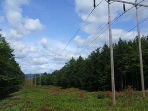
dscf2021.jpg Original
10/2400s f8.5 ISO100
Monday, August 31, 2009 12:01:01PM EDT
Tags:
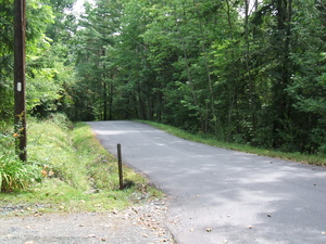
dscf2022.jpg Original
10/1400s f3.3 ISO100
Monday, August 31, 2009 12:33:33PM EDT
Tags: Z
Appalachian Trail with white blaze.
Fruit
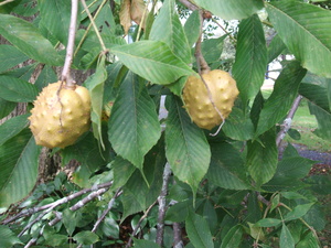
dscf2023.jpg Original
10/1000s f3.3 ISO100
Monday, August 31, 2009 12:48:15PM EDT
Tags:
Bridge over the Connecticut River, 10A

dscf2024.jpg Original
10/2200s f8.5 ISO100
Monday, August 31, 2009 1:09:31PM EDT
Tags: B
Bridge on the Appalachian Trail.
Bridge over the Connecticut River, 10A
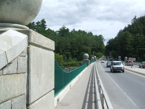
dscf2025.jpg Original
10/2100s f8.5 ISO100
Monday, August 31, 2009 1:09:51PM EDT
Tags: B
Bridge on the Appalachian Trail.
Connecticut River
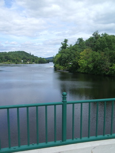
dscf2026.jpg Original
10/1700s f8.5 ISO100
Full size rotated image
Rotation angle: 90
Monday, August 31, 2009 1:10:31PM EDT
Tags:
Vermont - New Hampshire line
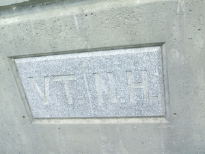
dscf2027.jpg Original
10/4500s f3.3 ISO100
Monday, August 31, 2009 1:10:46PM EDT
Tags:
Memorial Field, Dartmouth Campus

dscf2028.jpg Original
10/1600s f8.5 ISO100
Monday, August 31, 2009 1:55:17PM EDT
Tags:
Bridge over the Connecticut River, 10A
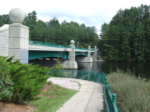
dscf2029.jpg Original
10/4800s f3.3 ISO100
Monday, August 31, 2009 2:15:23PM EDT
Tags: B
Bridge on the Appalachian Trail.


