
Appalachian Trail, Vermont, Map 6.
Unless otherwise indicated all pictures are licensed under the Creative
Commons Attribution 3.0 Unported License.

This work is licensed
under a Creative
Commons Attribution 3.0 Unported License.
All usage needs to include the following attribution: "Picture taken by Louis Taber".
All pictures with people are ©2009 by Louis Taber with all rights reserved.
Home Appalachian Trail - 2009 index
From NH11 & NH30 (43.206789, -72.970736) to Gifford Woods State Park (43.673119, -72.811441)

dscf1567.jpg Original
10/750s f3.3 ISO200
Full size rotated image
Rotation angle: 90
Friday, August 21, 2009 9:10:02AM EDT
Tags: G
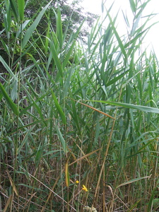
Bog crossing on Appalachian Trail.
dscf1568.jpg Original
10/1050s f3.3 ISO100
Full size rotated image
Rotation angle: 90
Friday, August 21, 2009 9:10:46AM EDT
Tags:
dscf1569.jpg Original
10/120s f3.3 ISO200
Full size rotated image
Rotation angle: 90
Friday, August 21, 2009 9:11:10AM EDT
Tags: GST
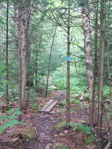
Bog crossing on Appalachian Trail.
Appalachian Trail sign.
Appalachian Trail.
dscf1570.jpg Original
10/80s f3.3 ISO200
Full size rotated image
Rotation angle: 90
Friday, August 21, 2009 9:15:20AM EDT
Tags: GT
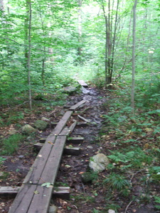
Bog crossing on Appalachian Trail.
Appalachian Trail.
dscf1571.jpg Original
10/120s f3.3 ISO200
Full size rotated image
Rotation angle: 90
Friday, August 21, 2009 9:21:43AM EDT
Tags: T
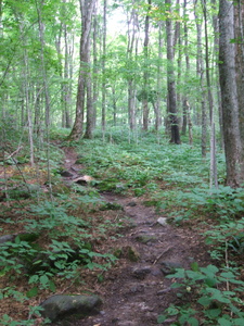
Appalachian Trail.
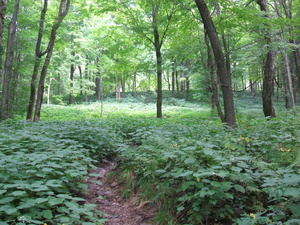
dscf1572.jpg Original
10/270s f3.3 ISO200
Friday, August 21, 2009 9:22:56AM EDT
Tags: T
Appalachian Trail.
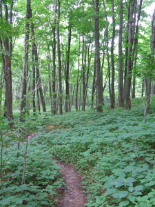
dscf1573.jpg Original
10/150s f3.3 ISO200
Full size rotated image
Rotation angle: 90
Friday, August 21, 2009 9:25:31AM EDT
Tags: T
Appalachian Trail.
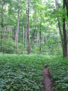
dscf1574.jpg Original
10/270s f3.3 ISO200
Full size rotated image
Rotation angle: 90
Friday, August 21, 2009 9:27:51AM EDT
Tags: T
Appalachian Trail.
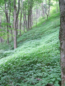
dscf1575.jpg Original
10/150s f3.3 ISO200
Full size rotated image
Rotation angle: 90
Friday, August 21, 2009 9:30:51AM EDT
Tags:
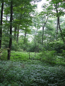
dscf1576.jpg Original
10/800s f3.3 ISO200
Full size rotated image
Rotation angle: 90
Friday, August 21, 2009 9:32:48AM EDT
Tags:
Maine Junction, Willard Gap, Elevation 2250 feet.
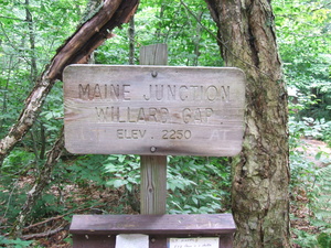
dscf1577.jpg Original
10/90s f3.3 ISO200
Friday, August 21, 2009 9:42:08AM EDT
Tags: S
Appalachian Trail sign.
Maine Junction, Willard Gap, Elevation 2250 feet.
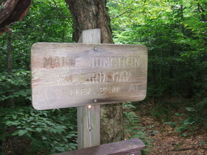
dscf1578.jpg Original
10/300s f3.3 ISO200
Friday, August 21, 2009 9:42:25AM EDT
Tags: S
Appalachian Trail sign.
Maine Junction, Willard Gap, Elevation 2250 feet.
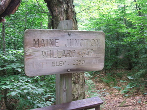
dscf1579.jpg Original
10/120s f3.3 ISO200
Friday, August 21, 2009 9:42:37AM EDT
Tags: S
Appalachian Trail sign.
dscf1580.jpg Original
10/40s f3.3 ISO200
Full size rotated image
Rotation angle: 90
Friday, August 21, 2009 10:05:19AM EDT
Tags: T
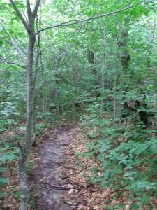
Appalachian Trail.
dscf1581.jpg Original
10/900s f3.3 ISO200
Friday, August 21, 2009 10:18:32AM EDT
Tags:
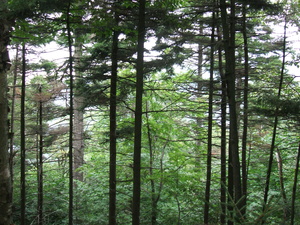
Quite muddy
dscf1582.jpg Original
10/40s f3.3 ISO200
Full size rotated image
Rotation angle: 90
Friday, August 21, 2009 10:20:21AM EDT
Tags: T
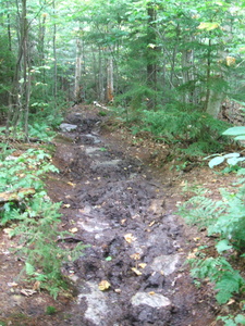
Appalachian Trail.
dscf1583.jpg Original
10/100s f3.3 ISO200
Full size rotated image
Rotation angle: 90
Friday, August 21, 2009 10:22:05AM EDT
Tags: T
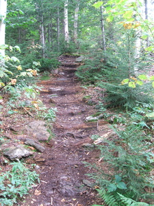
Appalachian Trail.
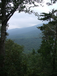
dscf1584.jpg Original
10/4500s f3.3 ISO100
Full size rotated image
Rotation angle: 90
Friday, August 21, 2009 10:23:00AM EDT
Tags: V
View from Appalachian Trail
Fungus
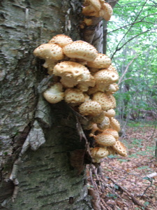
dscf1585.jpg Original
10/85s f3.3 ISO200
Full size rotated image
Rotation angle: 90
Friday, August 21, 2009 10:33:32AM EDT
Tags:
Fungus
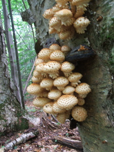
dscf1586.jpg Original
10/90s f3.3 ISO200
Full size rotated image
Rotation angle: 90
Friday, August 21, 2009 10:33:48AM EDT
Tags:
Fungus

dscf1587.jpg Original
10/100s f3.3 ISO200
Full size rotated image
Rotation angle: 90
Friday, August 21, 2009 10:34:08AM EDT
Tags:
Fungus
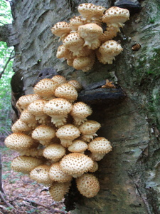
dscf1588.jpg Original
10/85s f3.3 ISO200
Full size rotated image
Rotation angle: 90
Friday, August 21, 2009 10:34:23AM EDT
Tags:
Fungus
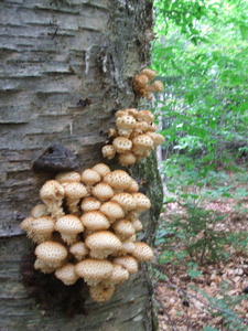
dscf1589.jpg Original
10/90s f3.3 ISO200
Full size rotated image
Rotation angle: 90
Friday, August 21, 2009 10:34:51AM EDT
Tags:
Very muddy
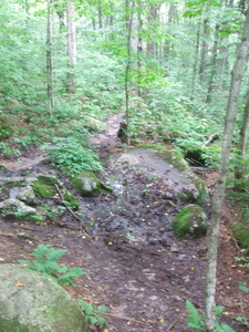
dscf1590.jpg Original
10/100s f3.3 ISO200
Full size rotated image
Rotation angle: -90
Friday, August 21, 2009 10:43:26AM EDT
Tags: T
Appalachian Trail.
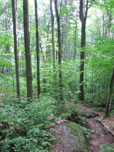
dscf1591.jpg Original
10/380s f3.3 ISO200
Full size rotated image
Rotation angle: 90
Friday, August 21, 2009 10:52:06AM EDT
Tags: T
Appalachian Trail.
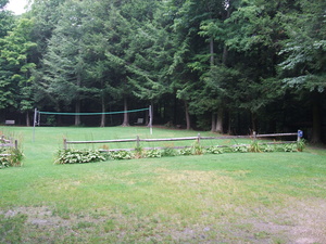
dscf1592.jpg Original
10/600s f3.3 ISO100
Friday, August 21, 2009 1:19:12PM EDT
Tags:
Entering Gifford Woods State Park
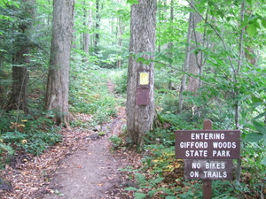
dscf1593.jpg Original
10/75s f3.3 ISO200
Friday, August 21, 2009 1:21:23PM EDT
Tags: ST
Appalachian Trail sign.
Appalachian Trail.
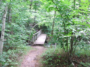
dscf1594.jpg Original
10/120s f3.3 ISO200
Friday, August 21, 2009 1:23:58PM EDT
Tags: BT
Bridge on the Appalachian Trail.
Appalachian Trail.
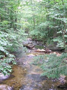
dscf1595.jpg Original
10/140s f3.3 ISO200
Full size rotated image
Rotation angle: 90
Friday, August 21, 2009 1:24:17PM EDT
Tags: C
Creek on Appalachian Trail.
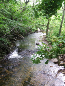
dscf1596.jpg Original
10/270s f3.3 ISO200
Full size rotated image
Rotation angle: 90
Friday, August 21, 2009 1:24:24PM EDT
Tags: C
Creek on Appalachian Trail.
Kent Pond(?)
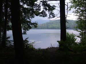
dscf1598.jpg Original
10/1100s f3.3 ISO100
Friday, August 21, 2009 1:28:33PM EDT
Tags: LV
Lake seen from Appalachian Trail.
View from Appalachian Trail
Kent Pond(?)
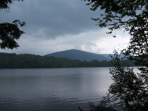
dscf1599.jpg Original
10/5000s f3.3 ISO100
Friday, August 21, 2009 1:29:04PM EDT
Tags: LV
Lake seen from Appalachian Trail.
View from Appalachian Trail
Kent Pond(?)
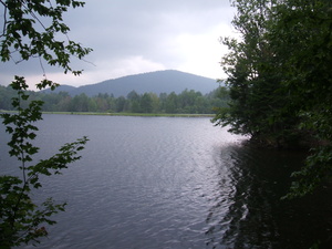
dscf1600.jpg Original
10/1500s f3.3 ISO100
Friday, August 21, 2009 1:34:21PM EDT
Tags: LV
Lake seen from Appalachian Trail.
View from Appalachian Trail
Dock
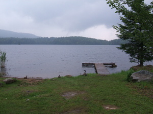
dscf1601.jpg Original
10/1250s f3.3 ISO100
Friday, August 21, 2009 1:38:47PM EDT
Tags: LV
Lake seen from Appalachian Trail.
View from Appalachian Trail


