
Appalacgin Trail, Massachusetts, Map 1, Sections 1, 2, & 3. Saturday, August 15, 2009.
Unless otherwise indicated all pictures are licensed under the Creative
Commons Attribution 3.0 Unported License.

This work is licensed
under a Creative
Commons Attribution 3.0 Unported License.
All usage needs to include the following attribution: "Picture taken by Louis Taber".
All pictures with people are ©2009 by Louis Taber with all rights reserved.
Home Appalachian Trail - 2009 index
From Mt Graylock past Vermont-Massachusetts Border to County Road (42.776021, -73.135866)
Me (Mount Graylock(?)
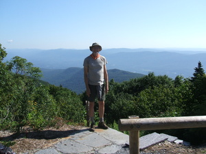
dscf1388.jpg Original
10/2000s f8.5 ISO100
Saturday, August 15, 2009 9:38:16AM EDT
Tags: XV
View from Appalachian Trail
©2014 Louis Taber, All rights reserved.
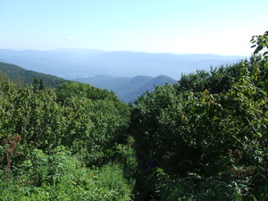
dscf1389.jpg Original
10/6800s f3.3 ISO100
Saturday, August 15, 2009 9:39:36AM EDT
Tags: V
View from Appalachian Trail
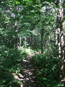
dscf1390.jpg Original
10/1050s f3.3 ISO200
Full size rotated image
Rotation angle: 90
Saturday, August 15, 2009 10:37:32AM EDT
Tags:
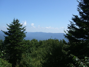
dscf1391.jpg Original
10/2100s f8.5 ISO100
Saturday, August 15, 2009 10:56:52AM EDT
Tags: V
View from Appalachian Trail
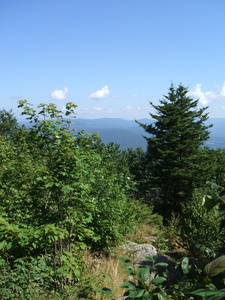
dscf1392.jpg Original
10/1600s f8.5 ISO100
Full size rotated image
Rotation angle: 90
Saturday, August 15, 2009 10:57:03AM EDT
Tags: V
View from Appalachian Trail
Mount Williams, Elevation 2951 feet
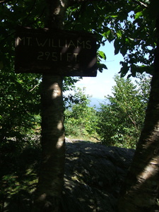
dscf1393.jpg Original
10/4200s f3.3 ISO100
Full size rotated image
Rotation angle: -90
Saturday, August 15, 2009 10:57:31AM EDT
Tags: S
Appalachian Trail sign.
Mount Williams, Elevation 2951 feet
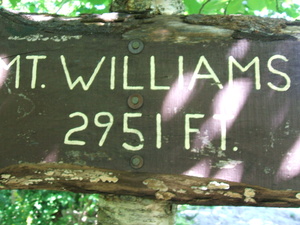
dscf1394.jpg Original
10/270s f3.3 ISO200
Saturday, August 15, 2009 10:57:36AM EDT
Tags: S
Appalachian Trail sign.
Hoosic River Valley(?)
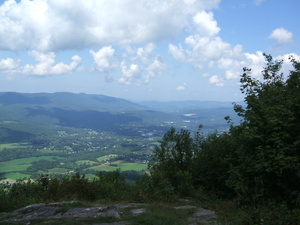
dscf1395.jpg Original
10/1800s f8.5 ISO100
Saturday, August 15, 2009 11:56:34AM EDT
Tags: V
View from Appalachian Trail
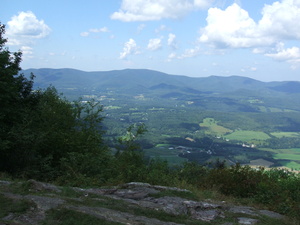
dscf1396.jpg Original
10/1500s f8.5 ISO100
Saturday, August 15, 2009 11:56:45AM EDT
Tags: V
View from Appalachian Trail
Yellow Flowers
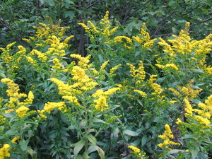
dscf1397.jpg Original
10/900s f3.3 ISO100
Saturday, August 15, 2009 11:56:55AM EDT
Tags:
North Adams(?)
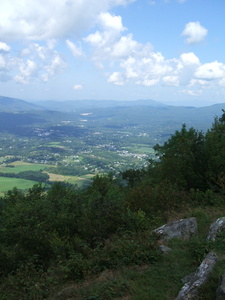
dscf1398.jpg Original
10/1500s f8.5 ISO100
Full size rotated image
Rotation angle: 90
Saturday, August 15, 2009 11:57:15AM EDT
Tags: V
View from Appalachian Trail
Hoosic River Footbridge
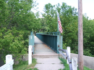
dscf1399.jpg Original
10/2100s f3.3 ISO100
Saturday, August 15, 2009 1:26:06PM EDT
Tags: BZ
Bridge on the Appalachian Trail.
Appalachian Trail with white blaze.
Hoosic River
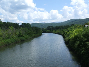
dscf1400.jpg Original
10/1800s f8.5 ISO100
Saturday, August 15, 2009 1:26:35PM EDT
Tags: R
River, brook, or creek.
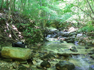
dscf1401.jpg Original
10/100s f3.3 ISO200
Saturday, August 15, 2009 1:37:15PM EDT
Tags: C
Creek on Appalachian Trail.
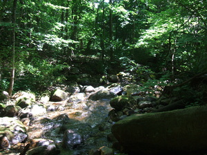
dscf1402.jpg Original
10/900s f3.3 ISO200
Saturday, August 15, 2009 1:42:29PM EDT
Tags: C
Creek on Appalachian Trail.
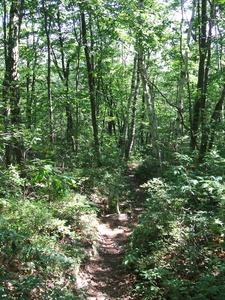
dscf1403.jpg Original
10/800s f3.3 ISO100
Full size rotated image
Rotation angle: 90
Saturday, August 15, 2009 3:00:31PM EDT
Tags: T
Appalachian Trail.
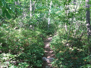
dscf1404.jpg Original
10/1100s f3.3 ISO200
Saturday, August 15, 2009 3:00:38PM EDT
Tags: T
Appalachian Trail.
dscf1405.jpg Original
10/250s f3.3 ISO200
Saturday, August 15, 2009 3:10:12PM EDT
Tags:
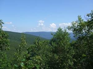
dscf1406.jpg Original
10/2000s f8.5 ISO100
Saturday, August 15, 2009 3:16:50PM EDT
Tags: V
View from Appalachian Trail
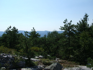
dscf1407.jpg Original
10/3200s f8.5 ISO100
Saturday, August 15, 2009 3:24:35PM EDT
Tags: V
View from Appalachian Trail
Vermont Massachusetts Border 1.3 Miles,(42.727409, -73.157409)
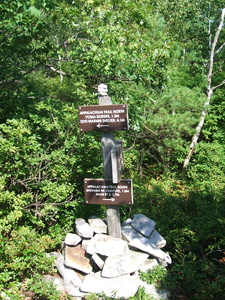
dscf1408.jpg Original
10/4200s f3.3 ISO100
Full size rotated image
Rotation angle: 90
Saturday, August 15, 2009 3:25:04PM EDT
Tags: S
Appalachian Trail sign.
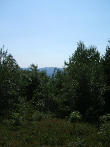
dscf1409.jpg Original
10/4500s f8.5 ISO100
Full size rotated image
Rotation angle: 90
Saturday, August 15, 2009 3:37:30PM EDT
Tags: V
View from Appalachian Trail
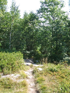
dscf1410.jpg Original
10/3000s f3.3 ISO100
Full size rotated image
Rotation angle: 90
Saturday, August 15, 2009 3:37:36PM EDT
Tags: T
Appalachian Trail.
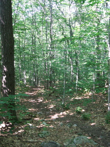
dscf1411.jpg Original
10/340s f3.3 ISO200
Full size rotated image
Rotation angle: 90
Saturday, August 15, 2009 3:38:44PM EDT
Tags: T
Appalachian Trail.
Welcome to the Green Mountains
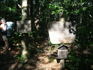
dscf1412.jpg Original
10/2200s f3.3 ISO100
Saturday, August 15, 2009 4:00:56PM EDT
Tags: SK
Appalachian Trail hiker.
Appalachian Trail sign.
©2014 Louis Taber, All rights reserved.
Long Trail, Roaring Branch 2.6 miles.
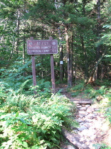
dscf1413.jpg Original
10/260s f3.3 ISO200
Full size rotated image
Rotation angle: 90
Saturday, August 15, 2009 5:35:01PM EDT
Tags: SZ
Appalachian Trail sign.
Appalachian Trail with white blaze.


